Old Maps of Patterson Mill, South Carolina for Metal Detecting
Plan your next treasure hunt with 14 historic maps of Patterson Mill. Find old homesites, ghost towns, trails, and gathering spots that may be lost to time — perfect for identifying promising metal detecting locations.
- Locate forgotten sites: Uncover places like long-lost settlements, abandoned rail lines, or gathering spots.
- Plan better hunts: Use map overlays combined with LiDAR or satellite views to narrow in on historically rich areas.
- Made for detectorists: Thousands of hobbyists use these maps to discover relics, coins, and hidden history.
Use these historic maps to boost your research and find new opportunities beneath the surface of Patterson Mill.
Patterson Mill, SC maps
(14)- 1919 Map of Allendale
 1919 Allendale1919 Print · USGSThe South Carolina Lowcountry is captured here in the years following the Great War, when rail lines and rural parishes defined the social landscape. Researchers can trace ancestral locations through numerous sites like Jordan Church, Hickory Hill School, and Haygoods Mill.4 unique versions available
 - 1943 Map of Allendale
 1943 Allendale1943 Print · USGSCoastal plain settlements and timberlands thrive along the Salkehatchie River in the early 1940s as rail lines connect rural communities. Genealogists can trace family-named landmarks and institutions like Chaney Grove Mill, Hercules School, and Siloam Ch.
 - 1954 Map of Augusta
 1954 Augusta1954 Print · USGSThe Savannah River valley and South Carolina Midlands are captured here during a period of post-war growth. Researchers can trace the rail-and-river economy through the Southern RR corridor and locate historic settlements like Aiken, Orangeburg, and Sumter.
 - 1957 Map of Augusta, 1966 Print
 1957 Augusta1966 Print · USGSThe Savannah River and Santee basins are captured here during a period of massive military and industrial expansion in the late fifties. Genealogists can trace family footprints across Four Hole Swamp or near the Savannah River Plant.3 unique versions available
 - 1958 Map of Augusta
 1958 Augusta1958 Print · USGSThe borderlands between Georgia and South Carolina come alive in the 1950s, showing the early footprint of the Savannah River Plant. Genealogists and historians can trace rail-dependent towns and rural landmarks from Orangeburg to the Fort Jackson Military Reservation.
 - 1961 Map of Augusta
 1961 Augusta1961 Print · USGSThe South Carolina lowcountry and CSRA appear here in the early sixties, during a period of massive military and industrial growth. Researchers can trace the development of the Savannah River Plant or locate legacy landmarks like Nelson Ferry and Magnolia Cemetery.2 unique versions available
 - 1962 Map of Augusta
 1962 Augusta1962 Print · USGSThe South Carolina and Georgia borderlands are seen here in the early sixties, showing the rise of the Savannah River Plant and the expansion of Fort Jackson. Researchers can trace old rail lines like the Southern Railway and find landmarks such as St. Pauls Church or the Santee Canal.
 - 1979 Map of Snelling
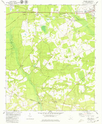 1979 Snelling1979 Print · USGSBarnwell County in the late seventies reveals the intersection of traditional lowcountry life and federal expansion. Genealogists and researchers can trace family landmarks like Holmes Cem, rural churches including Sweetwater Grove Ch, and the old crossroads at Boiling Springs.2 unique versions available
 - 1982 Map of Barnwell, 1984 Print
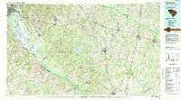 1982 Barnwell1984 Print · USGSCoastal plain settlements and a massive nuclear infrastructure meet in South Carolina during the early eighties. Genealogists and historians can trace rail-town development along the Southern line and explore the footprint of the Savannah River Plant Department of Energy.
 - 2011 Map of Snelling, 2011 Print
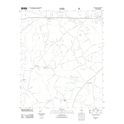 2011 Snelling2011 Print · USGSSnelling and the Barnwell County Lowcountry are shown in detail during the early 21st century, revealing a landscape shaped by creek-side settlements and rural crossroads. Local historians can trace family-named landmarks and historical water sites like Patterson Mill, Holmes Cemetery, and Boiling Springs.
 - 2014 Map of Snelling, 2014 Print
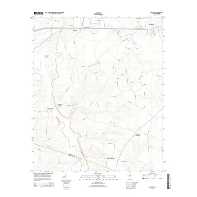 2014 Snelling2014 Print · USGSBarnwell County in the early twenty-first century remains a landscape shaped by its river systems and traditional crossroads. Genealogists and historians can trace the rural layout of Snelling, the site of Patterson Mill, and the family-named Holmes Cem.
 - 2017 Map of Snelling, 2017 Print
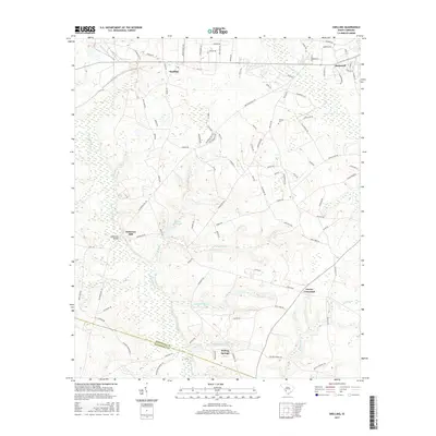 2017 Snelling2017 Print · USGSBarnwell County in the late twenty-teens remains a landscape of historic mill sites and river crossings. Genealogists and researchers can trace local landmarks like Holmes Cem, the settlement at Snelling, and old infrastructure at Patterson Mill.
 - 2020 Map of Snelling, 2020 Print
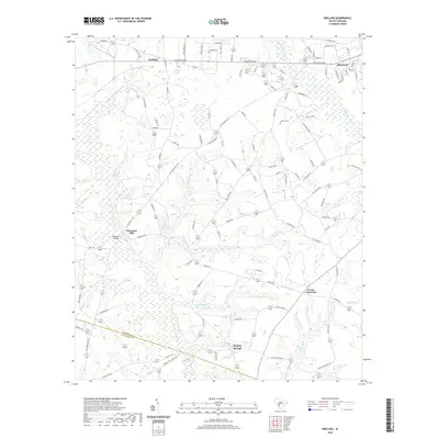 2020 Snelling2020 Print · USGSBarnwell County in the modern era maintains its rural character through a network of creekside settlements and historical crossings. Genealogists and historians can trace family locations near Patterson Mill, Holmes Cem, and the junction at Owens Crossroad.
 - 2024 Map of Snelling, 2024 Print
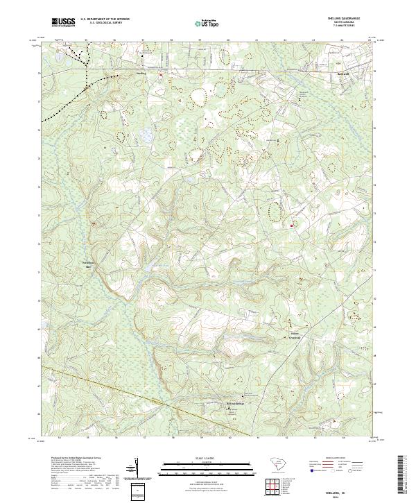 2024 Snelling2024 Print · USGSThe rural landscapes of Barnwell and Allendale Counties come into focus in this contemporary survey of the South Carolina Lowcountry. Genealogists can trace family ties through several churchyards like Saint John Church Graveyard or locate old industrial sites like Patterson Mill.
End of results
Showing maps 1-14 of 14
Top cities near Patterson Mill
- Barnwell historical maps
- Allendale historical maps
- Williston historical maps
- Blackville historical maps
- New Ellenton historical maps
- Hilda historical maps
See more
Frequently asked questions
- What are the different types of historical maps available for Patterson Mill?
- What is the oldest map of Patterson Mill?
- Where can I purchase historical maps of Patterson Mill for my home or office?
- Where can I download high-res historical maps of Patterson Mill?
- Are there historical topographic maps available for Patterson Mill?
- Is there historical aerial imagery available for Patterson Mill?
- Where are historical maps of Patterson Mill sourced from?