Old Maps of Hilton Head Island, South Carolina for Genealogy
Trace your family roots with 45 historic maps of Hilton Head Island. These high-res maps reveal old neighborhoods, homesites, landmarks, and streets — helping you uncover where your ancestors lived and how the area evolved over time.
- Explore historic neighborhoods: Identify where your relatives may have lived in the 1800s or 1900s.
- Compare maps over time: Trace the changes in streets, buildings, and landmarks for multi-generational research.
- Perfect for genealogy & ancestry research: Used by family historians and researchers to map out lineage and migration.
These maps are an incredible resource for exploring your personal connection to Hilton Head Island's past.
Hilton Head Island, SC maps
(45)- 1920 Map of Okatie
 1920 Okatie1920 Print · USGSThe South Carolina Lowcountry is captured here in the years following the Great War, showing a landscape defined by tidal rivers and strategic rail lines. Trace family roots and historical sites through Honey Hill Civil War Entrenchment, Grahamville, and Cherry Point Landing.
 - 1920 Map of Hilton Head
 1920 Hilton Head1920 Print · USGSCoastal Beaufort County appears here as it was just after the Great War, before the bridges and modern development arrived. Genealogists and maritime historians can trace the early settlement of Hilton Head and locate landmarks like the L.H. and Broad Creek.
 - 1920 Map of Bluffton
 1920 Bluffton1920 Print · USGSThe Georgia and South Carolina coastlines meet here in the early twentieth century, showing a world defined by tidal rivers and island outposts. Researchers can trace historic maritime landmarks like Ft. Pulaski, the Long Island Ferry, and family settlements at Spanish Wells or Hickory Bluff.
 - 1942 Map of Okatie
 1942 Okatie1942 Print · USGSCoastal South Carolina at the height of the Second World War shows a landscape of tidal marshes and strategic river landings. Genealogists and historians can trace family locations through named sites like Grahamville, Old House, and the Civil War Entrenchment north of Ridgeland.
 - 1944 Map of Fort Fremont
 1944 Fort Fremont1944 Print · USGSCoastal South Carolina during the Second World War shows a strategic shoreline defined by naval history and sea island life. Researchers can trace the layout of the Marine Barracks, locate family-named points like Sams Pt, or find the rail terminus at Port Royal.
 - 1945 Map of Bluffton
 1945 Bluffton1945 Print · USGSThe Carolina Lowcountry and Georgia's sea islands appear here in the mid-forties, before modern bridges transformed the coast. Trace the early footprints of Bluffton and Spanish Wells, or locate maritime landmarks like Buckingham Ferry and the Oyster Packing Plant.
 - 1945 Map of Hilton Head
 1945 Hilton Head1945 Print · USGSCoastal South Carolina remains largely rural in the mid-1940s, showing the island long before its modern resort era. Genealogists can trace early community hubs like First Africian Ch, Oak Grove Ch, and the small settlement of Hilton Head.
 - 1947 Map of Savannah
 1947 Savannah1947 Print · USGSCoastal Georgia and South Carolina are captured here in the mid-forties, showing the rail-and-river networks of the Lowcountry. Genealogists and researchers can trace old crossroads and river towns from Statesboro to Beaufort, alongside military sites like Camp Stewart and Parris Island.
 - 1948 Map of Savannah
 1948 Savannah1948 Print · USGSThe Georgia and South Carolina Lowcountry comes alive in this post-war survey of the coast and its river-fed hinterlands. Genealogists and historians can trace rail lines like the Central of Georgia RR and find established settlements such as Isle of Hope and Sylvania.
 - 1955 Map of Savannah Beach North, 1956 Print
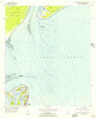 1955 Savannah Beach North1956 Print · USGSThe coastal border of South Carolina and Georgia comes alive in the mid-1950s, detailing the shifting sands and maritime defenses of the Atlantic coast. Researchers can trace the military grounds of Fort Screven or locate the historic Tybee Lighthouse and the small Cem on Tybee Island.3 unique versions available
 - 1956 Map of Hilton Head, 1957 Print
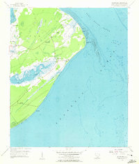 1956 Hilton Head1957 Print · USGSHilton Head Island is captured in the mid-1950s, showing a quiet maritime landscape before its transition into a major resort destination. Genealogists and historians can locate family landmarks like Drayton Cem or explore sites of local heritage including First African Ch and Fort Walker Ruin.4 unique versions available
 - 1956 Map of Parris Island, 1957 Print
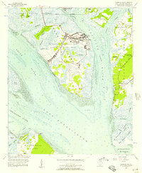 1956 Parris Island1957 Print · USGSThe Lowcountry landscape of the mid-fifties is captured here, centering on the military operations of Parris Island and the neighboring islands. Genealogists and historians can trace the foundations of the Marine Recruit Depot alongside coastal landmarks like Fort Fremont and the Elliot Cem.5 unique versions available
 - 1956 Map of Bluffton, 1957 Print
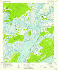 1956 Bluffton1957 Print · USGSThe South Carolina Lowcountry of the mid-fifties is a network of tidal reaches and quiet sea islands before the arrival of modern resorts. Trace ancestral sites and early infrastructure through the State Ferry Dock, Mikey Riley Sch, and the Baynard Ruins.5 unique versions available
 - 1957 Map of Savannah, 1967 Print
 1957 Savannah1967 Print · USGSThe Lowcountry and Georgia coastal plain are shown here in the late fifties, prior to modern expansion. Researchers can trace the rail-and-river economy through the Central of Georgia lines and the Ogeechee River wetlands.4 unique versions available
 - 1958 Map of Spring Island, 1961 Print
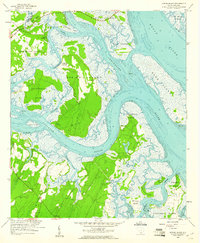 1958 Spring Island1961 Print · USGSThe Beaufort sea islands are captured in the late 1950s, showing a coastal landscape still defined by its tidal creeks and small landings. Researchers can trace historical sites like St Lukes Ch, Fripp Landing, and the marshy expanses of Spring Island.4 unique versions available
 - 1959 Map of Fort Fremont
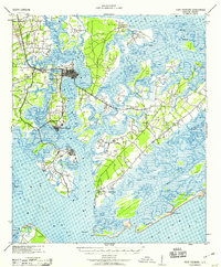 1959 Fort Fremont1959 Print · USGSThe South Carolina Sea Islands are captured here in the mid-twentieth century, emphasizing the deep connection between the tides and local settlement. Genealogists and historians can trace the rail lines to Beaufort Sta, locate the grounds of Ft Fremont, and explore the layout of Parris Island.
 - 1960 Map of Savannah
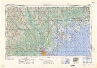 1960 Savannah1960 Print · USGSCoastal Georgia and the South Carolina Lowcountry are captured in the late fifties, showcasing the intricate web of islands and tidal rivers before modern expansion. Researchers can trace the rail lines of the Atlantic Coast Line or locate sites like Parris Island, Beaufort, and the Tybee Lighthouse.
 - 1961 Map of Savannah
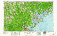 1961 Savannah1961 Print · USGSThe Georgia and South Carolina Lowcountry comes alive in this mid-century survey of coastal marshes, barrier islands, and river networks. Genealogists and historians can trace the paths of the Seaboard Air Line RR, locate family sites near Isle of Hope, or study the grounds of Fort Stewart Military Reservation.2 unique versions available
 - 1978 Map of Tybee Island North
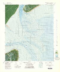 1978 Tybee Island North1978 Print · USGSThe Georgia and South Carolina coastlines meet in the late seventies at the mouth of the Savannah River. Maritime historians and coastal researchers can trace the historic fortifications at Fort Screven and the shifting shoals around Bloody Pt and Tybee Knoll Spit.
 - 1978 Map of Beaufort
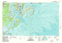 1978 Beaufort1978 Print · USGSCoastal South Carolina and Georgia come to life in this detailed bathymetric study from the late seventies, featuring the intricate Sea Islands and the Savannah River mouth. Researchers can trace military history at Parris Island or locate inland settlements like Switzerland and Old Sheldon.2 unique versions available
 - 2011 Map of Spring Island, 2011 Print
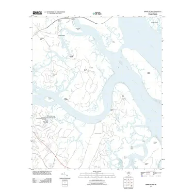 2011 Spring Island2011 Print · USGSThe Lowcountry marshes and tidal islands of Beaufort County are captured here in the early twenty-first century. Genealogists and local historians can trace family-named sites like Victoria Bluff and Bellinger Neck or locate historic river access at Fripp Landing.
 - 2011 Map of Tybee Island North, 2011 Print
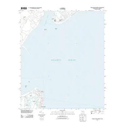 2011 Tybee Island North2011 Print · USGSTybee Island and the southern reaches of Hilton Head are mapped here at the start of the 2010s. Researchers can trace the layout of Fort Screven, locate the Tybee Lighthouse, and explore the tidal reaches of Horse Pen Hammock.
 - 2011 Map of Hilton Head, 2011 Print
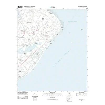 2011 Hilton Head2011 Print · USGSHilton Head Island at the start of the 2010s shows a sophisticated landscape of coastal plantations and recreational landmarks. Researchers can trace family sites like Talbot Cemetery or explore the layout of Port Royal Plantation and Shelter Cove Marina.
 - 2011 Map of Parris Island, 2011 Print
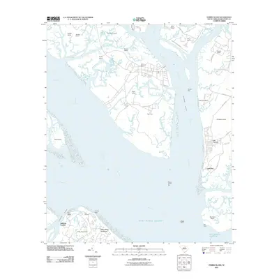 2011 Parris Island2011 Print · USGSCoastal Beaufort County is surveyed here in the early twenty-first century, showing the intersection of military history and island development. Genealogists and researchers can locate Elliot Cemetery on Hilton Head Island or trace the shoreline near Fort Fremont and Lands End.
 - 2011 Map of Bluffton, 2011 Print
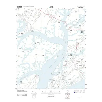 2011 Bluffton2011 Print · USGSThe South Carolina Lowcountry is captured here during a period of significant coastal development. Genealogists and historians can trace family burial sites like Stoney Cemetery and Haig Point Cemetery or locate old water-access points such as Buckingham Landing.
Showing maps 1-25 of 45
Top cities near Hilton Head Island
- Beaufort historical maps
- Port Royal historical maps
- Bluffton historical maps
- Tybee Island historical maps
- Hardeeville historical maps
Top neighborhoods of Hilton Head Island
- Port Royal historical maps
- Harbour Town historical maps
- Coligny historical maps
- Hilton Head Plantation historical maps
- Palmetto Dunes historical maps
- Sea Pines historical maps
See more
Frequently asked questions
- What are the different types of historical maps available for Hilton Head Island?
- What is the oldest map of Hilton Head Island?
- Where can I purchase historical maps of Hilton Head Island for my home or office?
- Where can I download high-res historical maps of Hilton Head Island?
- Are there historical topographic maps available for Hilton Head Island?
- Is there historical aerial imagery available for Hilton Head Island?
- Where are historical maps of Hilton Head Island sourced from?