2000s (21st Century) Maps of Isle of Palms, South Carolina
Explore 15 historic maps of Isle of Palms from the 2000s (21st Century). These maps offer a rare glimpse into what life looked like during the 2000s — showing old roads, neighborhoods, homes, and landmarks that have changed or disappeared over time.
Whether you're researching your family's past, planning a metal detecting trip, or studying how Isle of Palms's landscape evolved across the 2000s, these high-resolution maps are a powerful tool for exploring the history of this region.
- Focus on a specific era: All maps on this page are from the 2000s, giving you a focused view of this time period.
- See what’s changed: Compare century-old streets, trails, and buildings to today's modern landscape using overlays and satellite layers.
- Research with precision: Use these maps for genealogy, historical research, land use analysis, or educational projects.
- View, download, or print: Maps are fully viewable online in high resolution, and can be downloaded or printed for your own records.
Start exploring Isle of Palms's history through authentic maps from the 2000s. This is your window into the past.
Isle of Palms, SC maps
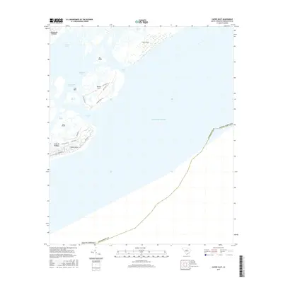
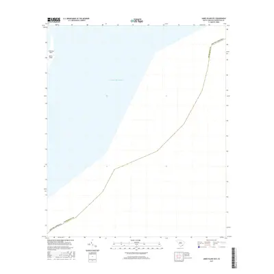
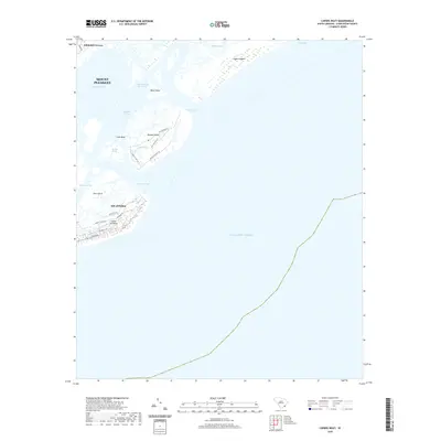
(15)- 2011 Map of Capers Inlet, 2011 Print
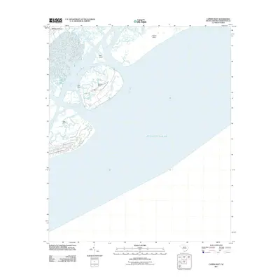 2011 Capers Inlet2011 Print · USGSCovers Isle of Palms, including Whitehall Terrace, Wild Dunes, and other nearby areas
 - 2011 Map of Fort Moultrie, 2011 Print
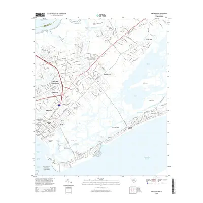
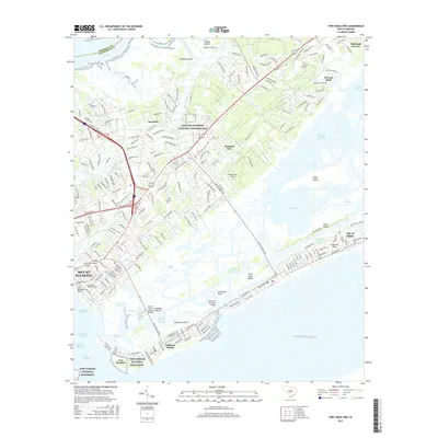
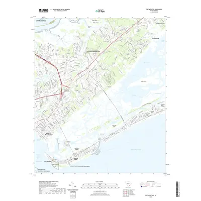
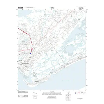 2011 Fort Moultrie2011 Print · USGSCovers Isle of Palms, including Charleston, Mount Pleasant, and other nearby areas
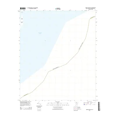
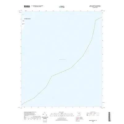
 - 2011 Map of James Island OE E, 2011 Print
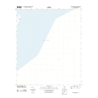 2011 James Island OE E2011 Print · USGSCovers Isle of Palms, including Charleston, Folly Beach, and other nearby areas
 - 2014 Map of Capers Inlet, 2014 Print
 2014 Capers Inlet2014 Print · USGSCovers Isle of Palms, including Whitehall Terrace, Wild Dunes, and other nearby areas
 - 2014 Map of James Island OE E, 2014 Print
 2014 James Island OE E2014 Print · USGSCovers Isle of Palms, including Charleston, Folly Beach, and other nearby areas
 - 2014 Map of Fort Moultrie, 2014 Print
 2014 Fort Moultrie2014 Print · USGSCovers Isle of Palms, including Charleston, Mount Pleasant, and other nearby areas
 - 2017 Map of Capers Inlet, 2017 Print
 2017 Capers Inlet2017 Print · USGSCovers Isle of Palms, including Whitehall Terrace, Wild Dunes, and other nearby areas
 - 2017 Map of Fort Moultrie, 2017 Print
 2017 Fort Moultrie2017 Print · USGSCovers Isle of Palms, including Charleston, Mount Pleasant, and other nearby areas
 - 2017 Map of James Island OE E, 2017 Print
 2017 James Island OE E2017 Print · USGSCovers Isle of Palms, including Charleston, Folly Beach, and other nearby areas
 - 2020 Map of Fort Moultrie, 2020 Print
 2020 Fort Moultrie2020 Print · USGSCovers Isle of Palms, including Charleston, Mount Pleasant, and other nearby areas
 - 2020 Map of Capers Inlet, 2020 Print
 2020 Capers Inlet2020 Print · USGSCovers Isle of Palms, including Whitehall Terrace, Wild Dunes, and other nearby areas
 - 2020 Map of James Island OE E, 2020 Print
 2020 James Island OE E2020 Print · USGSCovers Isle of Palms, including Charleston, Folly Beach, and other nearby areas
 - 2024 Map of James Island OE E, 2024 Print
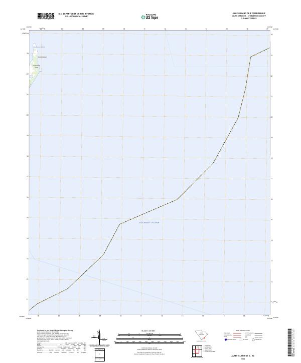 2024 James Island OE E2024 Print · USGSThe northern tip of the South Carolina coast is captured in the mid-2020s, focusing on the strategic entrance to the harbor. Maritime researchers and historians can trace the current shoreline of Morris Island and the specific geography of Cummings Point.
 - 2024 Map of Capers Inlet, 2024 Print
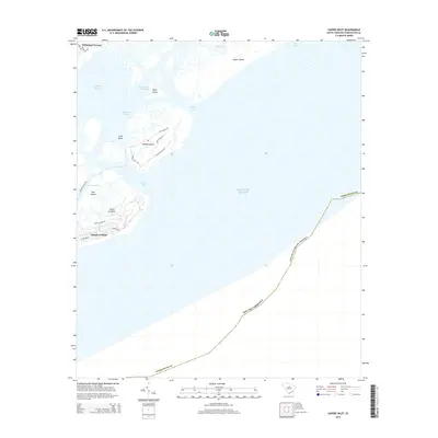
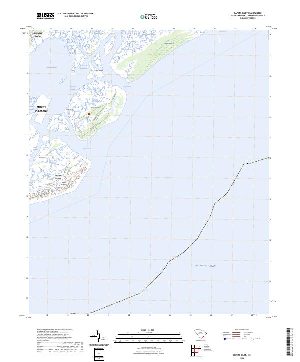 2024 Capers Inlet2024 Print · USGSCoastal Charleston County comes into focus in this recent survey of the barrier islands and tidal sounds. Researchers can trace the modern street grids of Isle of Palms or study the shifting maritime geography of Capers Island and the Intracoastal Waterway.
 - 2024 Map of Fort Moultrie, 2024 Print
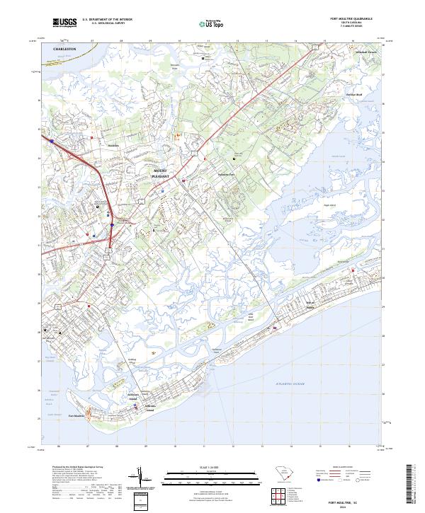 2024 Fort Moultrie2024 Print · USGSThe South Carolina coast near Charleston comes into focus in this recent study of its barrier islands and historic fortifications. Genealogists can trace small local burial sites like Cook's Old Field Cem and Island Cem while historians locate Fort Moultrie.
End of results
Showing maps 1-15 of 15
Top cities near Isle of Palms
- Charleston historical maps
- North Charleston historical maps
- Mount Pleasant historical maps
- Goose Creek historical maps
- Hanahan historical maps
- Folly Beach historical maps
See more
Top neighborhoods of Isle of Palms
Frequently asked questions
- What are the different types of historical maps available for Isle of Palms?
- What is the oldest map of Isle of Palms?
- Where can I purchase historical maps of Isle of Palms for my home or office?
- Where can I download high-res historical maps of Isle of Palms?
- Are there historical topographic maps available for Isle of Palms?
- Is there historical aerial imagery available for Isle of Palms?
- Where are historical maps of Isle of Palms sourced from?