2000s (21st Century) Maps of Ravenel, South Carolina
Explore 10 historic maps of Ravenel from the 2000s (21st Century). These maps offer a rare glimpse into what life looked like during the 2000s — showing old roads, neighborhoods, homes, and landmarks that have changed or disappeared over time.
Whether you're researching your family's past, planning a metal detecting trip, or studying how Ravenel's landscape evolved across the 2000s, these high-resolution maps are a powerful tool for exploring the history of this region.
- Focus on a specific era: All maps on this page are from the 2000s, giving you a focused view of this time period.
- See what’s changed: Compare century-old streets, trails, and buildings to today's modern landscape using overlays and satellite layers.
- Research with precision: Use these maps for genealogy, historical research, land use analysis, or educational projects.
- View, download, or print: Maps are fully viewable online in high resolution, and can be downloaded or printed for your own records.
Start exploring Ravenel's history through authentic maps from the 2000s. This is your window into the past.
Ravenel, SC maps
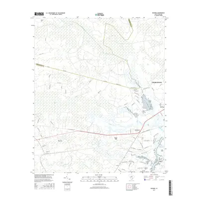
(10)- 2011 Map of Ravenel, 2011 Print
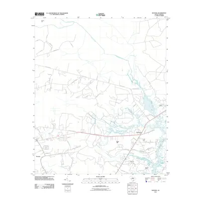 2011 Ravenel2011 Print · USGSCovers Ravenel, including Charleston, Hollywood, and other nearby areas
 - 2011 Map of Osborn, 2011 Print
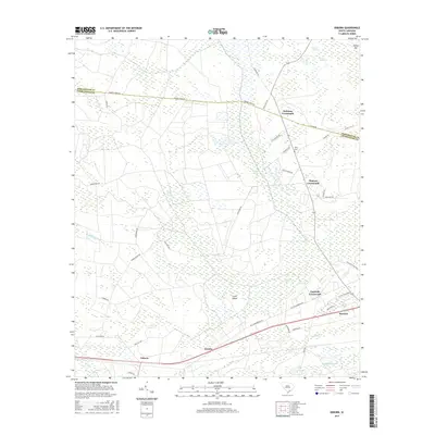
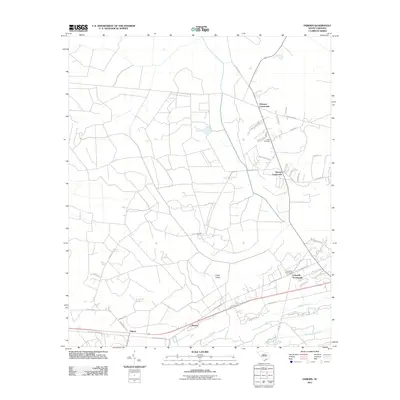 2011 Osborn2011 Print · USGSCovers Ravenel, including Hollywood, Delemar Crossroads, and other nearby areas
 - 2014 Map of Osborn, 2014 Print
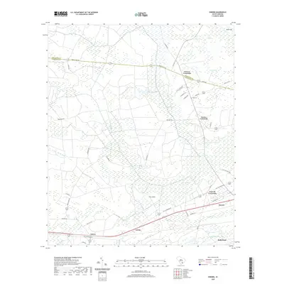
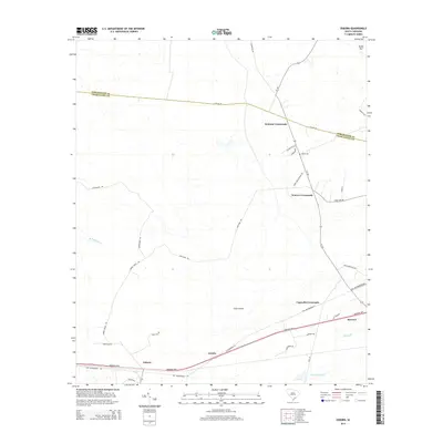 2014 Osborn2014 Print · USGSCovers Ravenel, including Hollywood, Delemar Crossroads, and other nearby areas
 - 2014 Map of Ravenel, 2014 Print
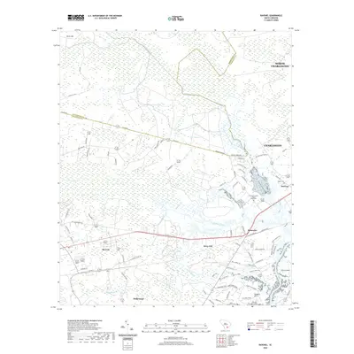
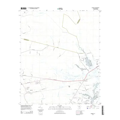 2014 Ravenel2014 Print · USGSCovers Ravenel, including Charleston, Hollywood, and other nearby areas
 - 2017 Map of Ravenel, 2017 Print
 2017 Ravenel2017 Print · USGSCovers Ravenel, including Charleston, Hollywood, and other nearby areas
 - 2017 Map of Osborn, 2017 Print
 2017 Osborn2017 Print · USGSCovers Ravenel, including Hollywood, Delemar Crossroads, and other nearby areas
 - 2020 Map of Ravenel, 2020 Print
 2020 Ravenel2020 Print · USGSCovers Ravenel, including Charleston, Hollywood, and other nearby areas
 - 2020 Map of Osborn, 2020 Print
 2020 Osborn2020 Print · USGSCovers Ravenel, including Hollywood, Delemar Crossroads, and other nearby areas
 - 2024 Map of Osborn, 2024 Print
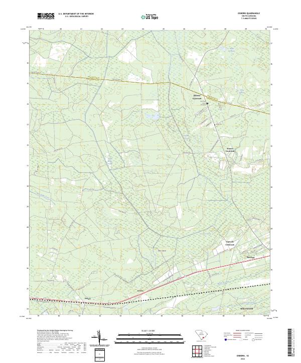 2024 Osborn2024 Print · USGSCoastal South Carolina crossroads and wetlands define the landscape between Dorchester and Charleston counties in this recent survey. Genealogists and local historians can trace family landmarks like Saint Pauls Church & Graveyard, White Cem, and the old community at Delemar Crossroads.
 - 2024 Map of Ravenel, 2024 Print
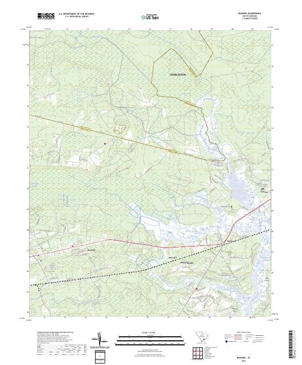 2024 Ravenel2024 Print · USGSCoastal South Carolina comes into focus in this contemporary survey of the Charleston Lowcountry. Researchers can trace family history through local sites like Washington Cemetery or explore the geography of Ravenel and Rantowles near the Stono River.
End of results
Showing maps 1-10 of 10
Top cities near Ravenel
- Charleston historical maps
- North Charleston historical maps
- Summerville historical maps
- Goose Creek historical maps
- Hanahan historical maps
- Hollywood historical maps
See more
Top neighborhoods of Ravenel
Frequently asked questions
- What are the different types of historical maps available for Ravenel?
- What is the oldest map of Ravenel?
- Where can I purchase historical maps of Ravenel for my home or office?
- Where can I download high-res historical maps of Ravenel?
- Are there historical topographic maps available for Ravenel?
- Is there historical aerial imagery available for Ravenel?
- Where are historical maps of Ravenel sourced from?