Old Maps of McBee, South Carolina for Genealogy
Trace your family roots with 18 historic maps of McBee. These high-res maps reveal old neighborhoods, homesites, landmarks, and streets — helping you uncover where your ancestors lived and how the area evolved over time.
- Explore historic neighborhoods: Identify where your relatives may have lived in the 1800s or 1900s.
- Compare maps over time: Trace the changes in streets, buildings, and landmarks for multi-generational research.
- Perfect for genealogy & ancestry research: Used by family historians and researchers to map out lineage and migration.
These maps are an incredible resource for exploring your personal connection to McBee's past.
McBee, SC maps
(18)- 1941 Map of Spartanburg
 1941 Spartanburg1941 Print · USGSSouth Carolina’s Piedmont and Sandhills regions are shown here during the mid-century peak of the rail era. Researchers can trace the sprawling Fort Jackson Military Reservation and the industrial growth of hubs like Spartanburg and Rock Hill.
 - 1953 Map of Spartanburg, 1966 Print
 1953 Spartanburg1966 Print · USGSMid-century South Carolina comes into focus through this survey of the Piedmont and the Sand Hills at a time of significant reservoir expansion. Researchers can trace the legacy of industrial transit and resource extraction from the Haile Gold Mine to the rail hubs of the Seaboard Air Line.4 unique versions available
 - 1960 Map of Spartanburg
 1960 Spartanburg1960 Print · USGSThe South Carolina Piedmont and North Carolina borderlands come alive in this mid-century survey of the region between Spartanburg and Columbia. Researchers can trace the Seaboard Air Line railroad and explore landmarks like Anderson Quarry, Lake Murray, and Mount Croghan.2 unique versions available
 - 1963 Map of Spartanburg
 1963 Spartanburg1963 Print · USGSMid-century South Carolina comes alive in this survey, showing the rail-linked corridor between the Upstate and the Midlands. Genealogists can trace family lands near old hubs like Union and Lancaster, or along the banks of the Broad River and Pee Dee River.
 - 1964 Map of Spartanburg
 1964 Spartanburg1964 Print · USGSMid-century South Carolina comes alive in this survey of the Piedmont and Upcountry, stretching from the Blue Ridge foothills to the Sandhills. Genealogists and historians can trace the rail-and-river economy through Monarch Mills, Glenn Springs, and the Southern Railway corridor.
 - 1968 Map of Lake Robinson, 1971 Print
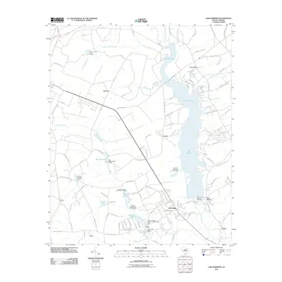
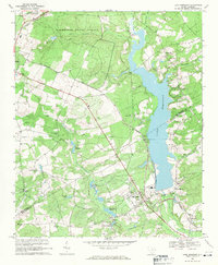 1968 Lake Robinson1971 Print · USGSThe area near McBee is shown just as the landscape was being reshaped by the waters of LAKE ROBINSON in the late 1960s. Researchers can locate historic churches like Shady Grove Ch and New Hope Ch alongside the diagonal tracks of the SEABOARD COAST LINE.2 unique versions available
 - 1970 Map of Bethune, 1975 Print
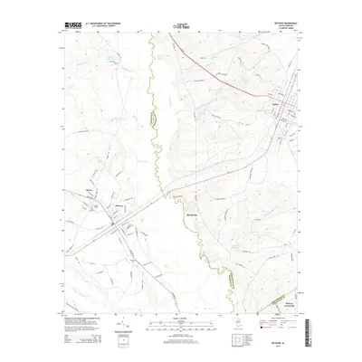
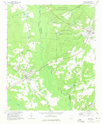 1970 Bethune1975 Print · USGSThe rural sandhills of Kershaw and Chesterfield counties come into focus during the early seventies, centered on the railroad towns of Bethune and McBee. Genealogists can locate family landmarks like Sandy Level Cem, Providence Ch, and old sites like Hough Millpond.
 - 1986 Map of Camden South
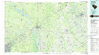 1986 Camden South1986 Print · USGSThe South Carolina midlands come into focus in the mid-eighties, showing the sprawling corridors between the Wateree and Lynches Rivers. Genealogists and historians can trace family roots through numerous mill sites and rural junctions like Boykin, Lucknow, and Hermitage Mill Pond.4 unique versions available
 - 2011 Map of Bethune, 2011 Print
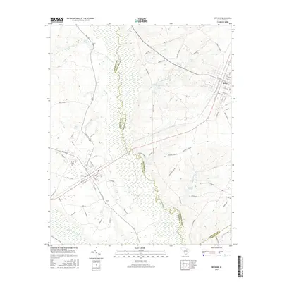
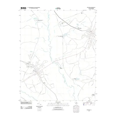 2011 Bethune2011 Print · USGSCovers McBee, including Bethune, Big Springs, and other nearby areas
 - 2011 Map of Lake Robinson, 2011 Print
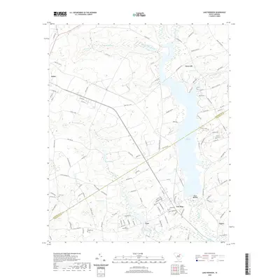
 2011 Lake Robinson2011 Print · USGSCovers McBee, including Segars, New Market, and other nearby areas
 - 2014 Map of Lake Robinson, 2014 Print
 2014 Lake Robinson2014 Print · USGSCovers McBee, including Segars, New Market, and other nearby areas
 - 2014 Map of Bethune, 2014 Print
 2014 Bethune2014 Print · USGSCovers McBee, including Bethune, Big Springs, and other nearby areas
 - 2017 Map of Lake Robinson, 2017 Print
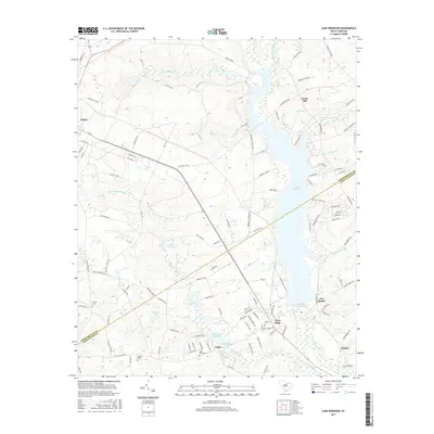 2017 Lake Robinson2017 Print · USGSCovers McBee, including Segars, New Market, and other nearby areas
 - 2017 Map of Bethune, 2017 Print
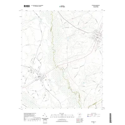
 2017 Bethune2017 Print · USGSCovers McBee, including Bethune, Big Springs, and other nearby areas
 - 2020 Map of Bethune, 2020 Print
 2020 Bethune2020 Print · USGSCovers McBee, including Bethune, Big Springs, and other nearby areas
 - 2020 Map of Lake Robinson, 2020 Print
 2020 Lake Robinson2020 Print · USGSCovers McBee, including Segars, New Market, and other nearby areas
 - 2024 Map of Bethune, 2024 Print
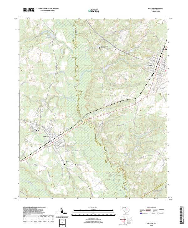 2024 Bethune2024 Print · USGSThe Kershaw and Chesterfield county lines meet along the Lynches River in this recent survey of the South Carolina sandhills. Researchers can trace family sites at Providence Methodist Church, Brannon Cem, and old mill sites like Hough Millpond.
 - 2024 Map of Lake Robinson, 2024 Print
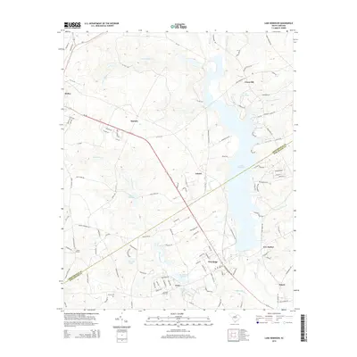
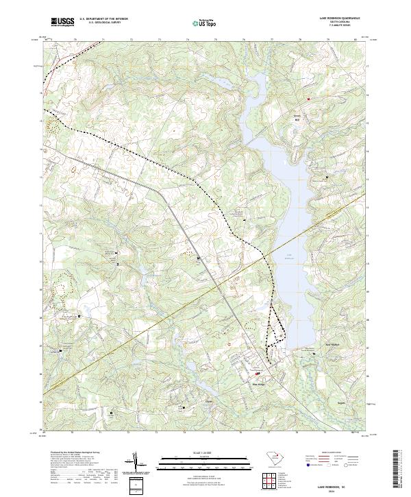 2024 Lake Robinson2024 Print · USGSChesterfield and Darlington counties are shown in detail during the early 2020s, centered on the waters of Lake Robinson. Researchers can locate numerous family and church burial sites, including Old King Family Cem and the Antioch Church Graveyard.
End of results
Showing maps 1-18 of 18
Top cities near McBee
Frequently asked questions
- What are the different types of historical maps available for McBee?
- What is the oldest map of McBee?
- Where can I purchase historical maps of McBee for my home or office?
- Where can I download high-res historical maps of McBee?
- Are there historical topographic maps available for McBee?
- Is there historical aerial imagery available for McBee?
- Where are historical maps of McBee sourced from?