Old Maps of Foreston, South Carolina for Genealogy
Trace your family roots with 16 historic maps of Foreston. These high-res maps reveal old neighborhoods, homesites, landmarks, and streets — helping you uncover where your ancestors lived and how the area evolved over time.
- Explore historic neighborhoods: Identify where your relatives may have lived in the 1800s or 1900s.
- Compare maps over time: Trace the changes in streets, buildings, and landmarks for multi-generational research.
- Perfect for genealogy & ancestry research: Used by family historians and researchers to map out lineage and migration.
These maps are an incredible resource for exploring your personal connection to Foreston's past.
Foreston, SC maps
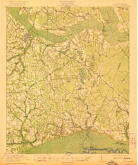
(16)- 1920 Map of Manning
 1920 Manning1920 Print · USGSClarendon County in the early twentieth century was a land of timber-rich wetlands and growing rail junctions. Genealogists can trace family footprints through numerous rural landmarks like Biggers School, St Marks Church, and settlements like Alcolu or Davis Station.
 - 1921 Map of Manning
 1921 Manning1921 Print · USGSClarendon County was a hub of rail lines and swamp-bordering settlements in the years following the Great War. You can trace early 20th-century family landmarks like White Oak Church, the Wilson Mill School, and the path of the Southern Railroad as it crosses the Pocotaligo Swamp.3 unique versions available
 - 1944 Map of Manning
 1944 Manning1944 Print · USGSClarendon County in the mid-1940s centers on the rail hub of Manning and the winding reaches of the Pocotaligo Swamp. Researchers can trace rural family sites near Wilson Mill Sch, Green Savanna Sch, and Brewington Ch.
 - 1954 Map of Augusta
 1954 Augusta1954 Print · USGSThe Savannah River valley and South Carolina Midlands are captured here during a period of post-war growth. Researchers can trace the rail-and-river economy through the Southern RR corridor and locate historic settlements like Aiken, Orangeburg, and Sumter.
 - 1957 Map of Augusta, 1966 Print
 1957 Augusta1966 Print · USGSThe Savannah River and Santee basins are captured here during a period of massive military and industrial expansion in the late fifties. Genealogists can trace family footprints across Four Hole Swamp or near the Savannah River Plant.3 unique versions available
 - 1958 Map of Augusta
 1958 Augusta1958 Print · USGSThe borderlands between Georgia and South Carolina come alive in the 1950s, showing the early footprint of the Savannah River Plant. Genealogists and historians can trace rail-dependent towns and rural landmarks from Orangeburg to the Fort Jackson Military Reservation.
 - 1961 Map of Augusta
 1961 Augusta1961 Print · USGSThe South Carolina lowcountry and CSRA appear here in the early sixties, during a period of massive military and industrial growth. Researchers can trace the development of the Savannah River Plant or locate legacy landmarks like Nelson Ferry and Magnolia Cemetery.2 unique versions available
 - 1962 Map of Augusta
 1962 Augusta1962 Print · USGSThe South Carolina and Georgia borderlands are seen here in the early sixties, showing the rise of the Savannah River Plant and the expansion of Fort Jackson. Researchers can trace old rail lines like the Southern Railway and find landmarks such as St. Pauls Church or the Santee Canal.
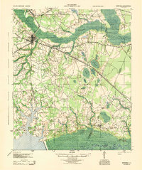
 - 1979 Map of Foreston, 1980 Print
 1979 Foreston1980 Print · USGSThe lowlands of Clarendon County are shown here in the late seventies, a landscape defined by the Black River Swamp and unique Carolina bays. Genealogists can locate family landmarks like St Michaels Ch and Biggers Ch, or trace the old Seaboard Coast Line rail route.2 unique versions available
 - 1986 Map of Sumter
 1986 Sumter1986 Print · USGSMid-South Carolina in the mid-eighties reveals a landscape of massive river bottomlands and significant military installations. Genealogists and historians can trace the rural networks around Fort Motte, Lone Star, and Sardinia alongside Lake Marion.
 - 1990 Map of Sumter
 1990 Sumter1990 Print · USGSCentral South Carolina's river systems and military landscapes are captured here during the late twentieth century. Genealogists and historians can trace the growth of Sumter or locate rural communities such as Wedgefield and Kingville near the Congaree River.
 - 2011 Map of Foreston, 2011 Print
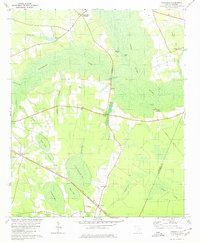
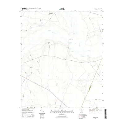
 2011 Foreston2011 Print · USGSCovers Foreston, including Wilson, Cypress Fork Crossroads, and other nearby areas
 - 2014 Map of Foreston, 2014 Print
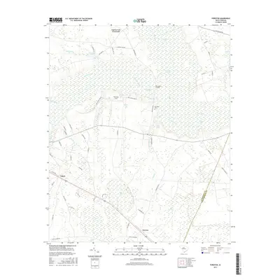
 2014 Foreston2014 Print · USGSCovers Foreston, including Wilson, Cypress Fork Crossroads, and other nearby areas
 - 2017 Map of Foreston, 2017 Print
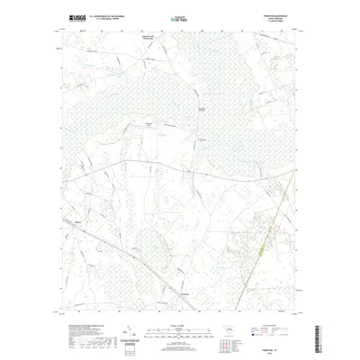
 2017 Foreston2017 Print · USGSCovers Foreston, including Wilson, Cypress Fork Crossroads, and other nearby areas
 - 2020 Map of Foreston, 2020 Print
 2020 Foreston2020 Print · USGSCovers Foreston, including Wilson, Cypress Fork Crossroads, and other nearby areas
 - 2024 Map of Foreston, 2024 Print
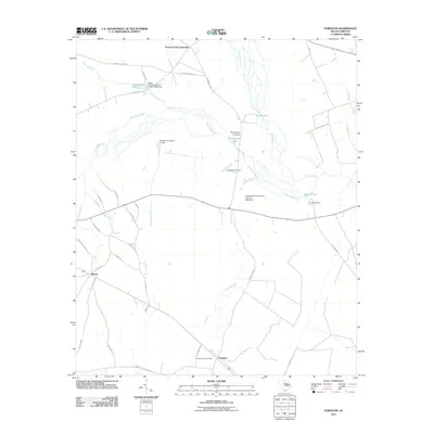
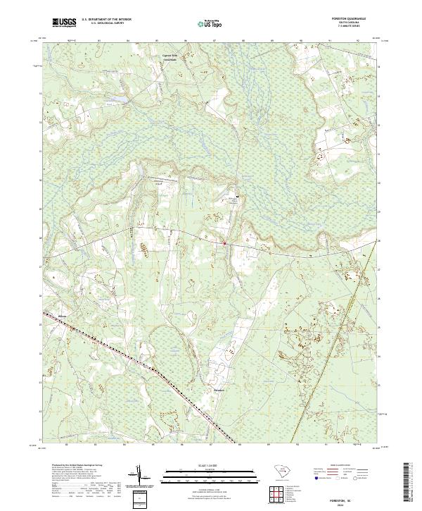 2024 Foreston2024 Print · USGSClarendon County's river-basin landscape comes into focus here, showing the intersection of the Pocotaligo River and Black River in recent years. Genealogists and historians can locate Brewington Church, its associated Graveyard, and the community of Foreston.
End of results
Showing maps 1-16 of 16
Top cities near Foreston
Frequently asked questions
- What are the different types of historical maps available for Foreston?
- What is the oldest map of Foreston?
- Where can I purchase historical maps of Foreston for my home or office?
- Where can I download high-res historical maps of Foreston?
- Are there historical topographic maps available for Foreston?
- Is there historical aerial imagery available for Foreston?
- Where are historical maps of Foreston sourced from?