2020s Maps of Liberty Heights, South Carolina
Explore 2 historic maps of Liberty Heights from the 2020s. These maps offer a rare glimpse into what life looked like during the 2020s — showing old roads, neighborhoods, homes, and landmarks that have changed or disappeared over time.
Whether you're researching your family's past, planning a metal detecting trip, or studying how Liberty Heights's landscape evolved across the 2020s, these high-resolution maps are a powerful tool for exploring the history of this region.
- Focus on a specific era: All maps on this page are from the 2020s, giving you a focused view of this time period.
- See what’s changed: Compare century-old streets, trails, and buildings to today's modern landscape using overlays and satellite layers.
- Research with precision: Use these maps for genealogy, historical research, land use analysis, or educational projects.
- View, download, or print: Maps are fully viewable online in high resolution, and can be downloaded or printed for your own records.
Start exploring Liberty Heights's history through authentic maps from the 2020s. This is your window into the past.
Liberty Heights, SC maps
(2)- 2020 Map of Darlington East, 2020 Print
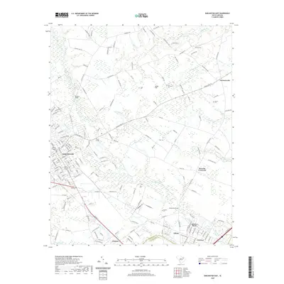 2020 Darlington East2020 Print · USGSCovers Liberty Heights, including Town and Country Estates, Meadow Brook, and other nearby areas
 - 2024 Map of Darlington East, 2024 Print
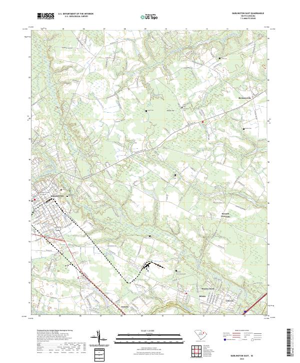 2024 Darlington East2024 Print · USGSDarlington and its eastern environs are shown in detail as the modern era maintains its deep connection to the land and water. Researchers can trace family roots at New Providence Cem and Bacote Cem or explore the rural reaches of Howards Crossroads and Hasker Flat.
End of results
Showing maps 1-2 of 2
Top cities near Liberty Heights
- Florence historical maps
- Hartsville historical maps
- Darlington historical maps
- Timmonsville historical maps
- Lamar historical maps
- Quinby historical maps
See more
Frequently asked questions
- What are the different types of historical maps available for Liberty Heights?
- What is the oldest map of Liberty Heights?
- Where can I purchase historical maps of Liberty Heights for my home or office?
- Where can I download high-res historical maps of Liberty Heights?
- Are there historical topographic maps available for Liberty Heights?
- Is there historical aerial imagery available for Liberty Heights?
- Where are historical maps of Liberty Heights sourced from?