Old Maps of Pepper Ridge, South Carolina for Hiking & Exploration
Hike through history with 9 historic maps of Pepper Ridge. Explore old trails, ghost towns, and forgotten backroads — perfect for outdoor adventurers and local explorers.
- Rediscover forgotten places: Map out old mining camps, roads, and footpaths that no longer exist on modern maps.
- Layer with modern tools: Combine with LiDAR or satellite views to plan hikes through historical terrain.
- Made for exploration: Popular among hikers, overlanders, and local history lovers.
Use these maps to find adventure and explore the hidden past of Pepper Ridge.
Pepper Ridge, SC maps
(9)- 1953 Map of Florence, 1964 Print
 1953 Florence1964 Print · USGSThe Carolina borderlands in the mid-fifties were a landscape of vast river swamps and rising rail towns. Trace the legacy of the Seaboard Air Line through Florence or explore the wetlands surrounding Lake Waccamaw and the Green Swamp.3 unique versions available
 - 1954 Map of Florence
 1954 Florence1954 Print · USGSThe Carolinas borderlands come alive in the early fifties, showing the vital rail-and-river networks of the coastal plain. Genealogists can trace family footprints across the Green Swamp or through settlements like Red Springs, Chadbourn, and McColl.
 - 1963 Map of Darlington East, 1965 Print
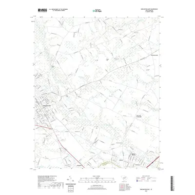
 1963 Darlington East1965 Print · USGSDarlington and the surrounding Pee Dee lowlands are captured here in the early sixties as a bustling rail and agricultural hub. Trace the junction of the Atlantic Coast Line and find local landmarks like Grove Hill Cem or Howards Crossroads.2 unique versions available
 - 1983 Map of Florence, 1985 Print
 1983 Florence1985 Print · USGSThe Pee Dee region in the early eighties shows a landscape shaped by river commerce and rail expansion. Researchers can trace historic river crossings at Galivants Ferry or locate vanished rail stops like Willow Creek Siding and Blue Brick.
 - 2011 Map of Darlington East, 2011 Print
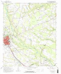
 2011 Darlington East2011 Print · USGSCovers Pepper Ridge, including Liberty Heights, Town and Country Estates, and other nearby areas
 - 2014 Map of Darlington East, 2014 Print
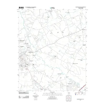
 2014 Darlington East2014 Print · USGSCovers Pepper Ridge, including Liberty Heights, Town and Country Estates, and other nearby areas
 - 2017 Map of Darlington East, 2017 Print
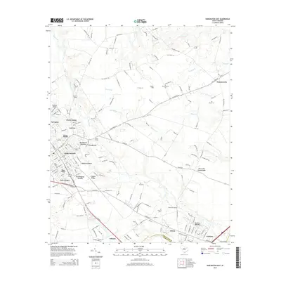
 2017 Darlington East2017 Print · USGSCovers Pepper Ridge, including Liberty Heights, Town and Country Estates, and other nearby areas
 - 2020 Map of Darlington East, 2020 Print
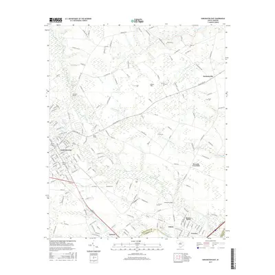
 2020 Darlington East2020 Print · USGSCovers Pepper Ridge, including Liberty Heights, Town and Country Estates, and other nearby areas
 - 2024 Map of Darlington East, 2024 Print
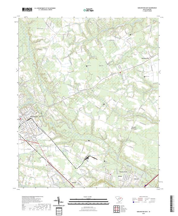 2024 Darlington East2024 Print · USGSDarlington and its eastern environs are shown in detail as the modern era maintains its deep connection to the land and water. Researchers can trace family roots at New Providence Cem and Bacote Cem or explore the rural reaches of Howards Crossroads and Hasker Flat.
End of results
Showing maps 1-9 of 9
Top cities near Pepper Ridge
- Florence historical maps
- Hartsville historical maps
- Darlington historical maps
- Timmonsville historical maps
- Lamar historical maps
- Quinby historical maps
See more
Frequently asked questions
- What are the different types of historical maps available for Pepper Ridge?
- What is the oldest map of Pepper Ridge?
- Where can I purchase historical maps of Pepper Ridge for my home or office?
- Where can I download high-res historical maps of Pepper Ridge?
- Are there historical topographic maps available for Pepper Ridge?
- Is there historical aerial imagery available for Pepper Ridge?
- Where are historical maps of Pepper Ridge sourced from?