2000s (21st Century) Maps of Summerville, South Carolina
Explore 15 historic maps of Summerville from the 2000s (21st Century). These maps offer a rare glimpse into what life looked like during the 2000s — showing old roads, neighborhoods, homes, and landmarks that have changed or disappeared over time.
Whether you're researching your family's past, planning a metal detecting trip, or studying how Summerville's landscape evolved across the 2000s, these high-resolution maps are a powerful tool for exploring the history of this region.
- Focus on a specific era: All maps on this page are from the 2000s, giving you a focused view of this time period.
- See what’s changed: Compare century-old streets, trails, and buildings to today's modern landscape using overlays and satellite layers.
- Research with precision: Use these maps for genealogy, historical research, land use analysis, or educational projects.
- View, download, or print: Maps are fully viewable online in high resolution, and can be downloaded or printed for your own records.
Start exploring Summerville's history through authentic maps from the 2000s. This is your window into the past.
Summerville, SC maps
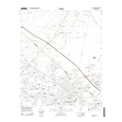
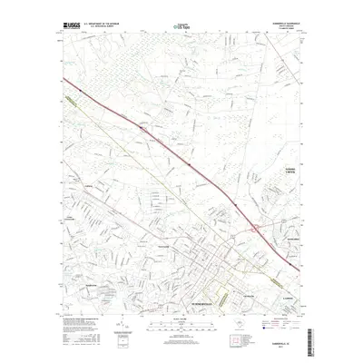
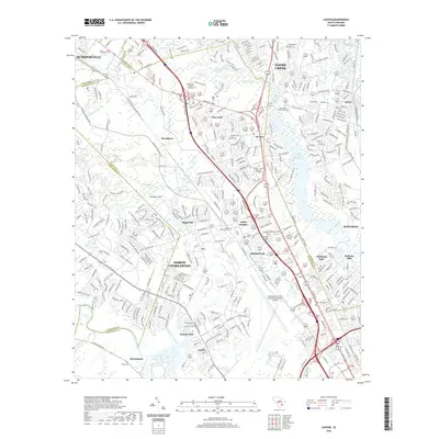
(15)- 2011 Map of Summerville, 2011 Print
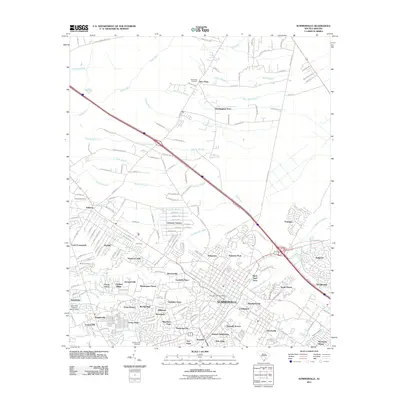 2011 Summerville2011 Print · USGSCovers Summerville, including Goose Creek, Lincolnville, and other nearby areas
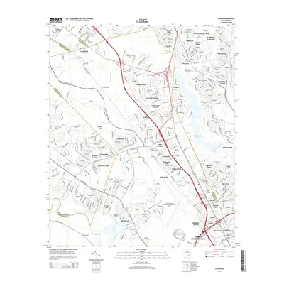
 - 2011 Map of Ladson, 2011 Print
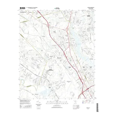
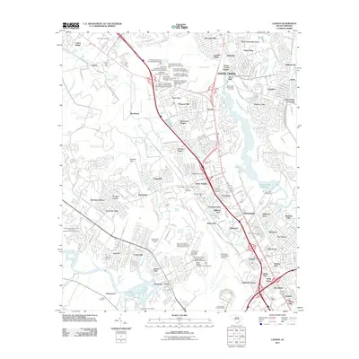 2011 Ladson2011 Print · USGSCovers Summerville, including North Charleston, Goose Creek, and other nearby areas
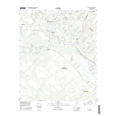
 - 2011 Map of Stallsville, 2011 Print
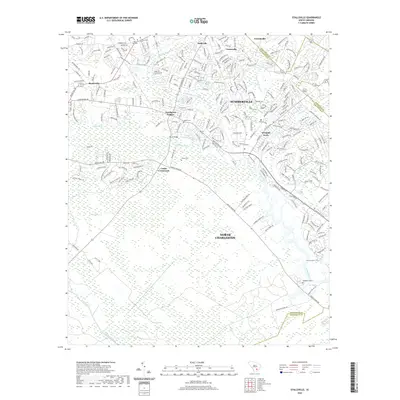
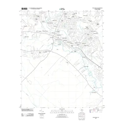 2011 Stallsville2011 Print · USGSCovers Summerville, including North Charleston, Lincolnville, and other nearby areas
 - 2014 Map of Stallsville, 2014 Print
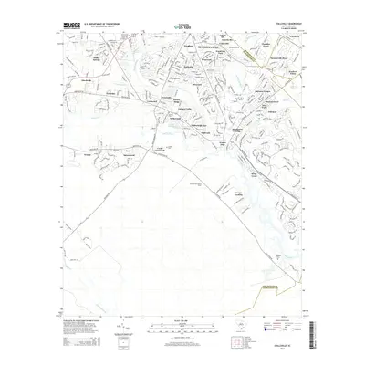 2014 Stallsville2014 Print · USGSCovers Summerville, including North Charleston, Lincolnville, and other nearby areas
 - 2014 Map of Summerville, 2014 Print
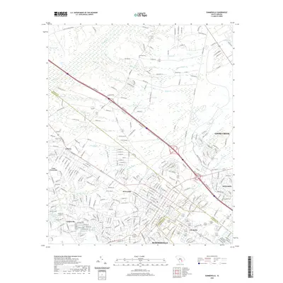
 2014 Summerville2014 Print · USGSCovers Summerville, including Goose Creek, Lincolnville, and other nearby areas
 - 2014 Map of Ladson, 2014 Print
 2014 Ladson2014 Print · USGSCovers Summerville, including North Charleston, Goose Creek, and other nearby areas
 - 2017 Map of Stallsville, 2017 Print
 2017 Stallsville2017 Print · USGSCovers Summerville, including North Charleston, Lincolnville, and other nearby areas
 - 2017 Map of Summerville, 2017 Print
 2017 Summerville2017 Print · USGSCovers Summerville, including Goose Creek, Lincolnville, and other nearby areas
 - 2017 Map of Ladson, 2017 Print
 2017 Ladson2017 Print · USGSCovers Summerville, including North Charleston, Goose Creek, and other nearby areas
 - 2020 Map of Summerville, 2020 Print
 2020 Summerville2020 Print · USGSCovers Summerville, including Goose Creek, Lincolnville, and other nearby areas
 - 2020 Map of Stallsville, 2020 Print
 2020 Stallsville2020 Print · USGSCovers Summerville, including North Charleston, Lincolnville, and other nearby areas
 - 2020 Map of Ladson, 2020 Print
 2020 Ladson2020 Print · USGSCovers Summerville, including North Charleston, Goose Creek, and other nearby areas
 - 2024 Map of Summerville, 2024 Print
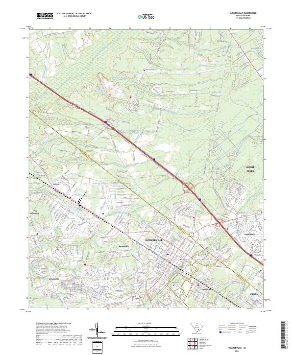 2024 Summerville2024 Print · USGSSummerville and its neighboring communities are shown during a period of significant growth at the triple-point of Berkeley, Dorchester, and Charleston counties. You can trace the proximity of historic settlements like Lincolnville and Jedburg to landmarks like New Hope Cem and the Ashley River.
 - 2024 Map of Ladson, 2024 Print
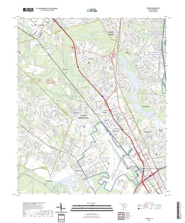 2024 Ladson2024 Print · USGSIn the modern era of the South Carolina Lowcountry, the intersection of military history and suburban growth is captured in fine detail. Trace the expansion of North Charleston around the Charleston AFB and locate family landmarks like Saint James Church Graveyard.
 - 2024 Map of Stallsville, 2024 Print
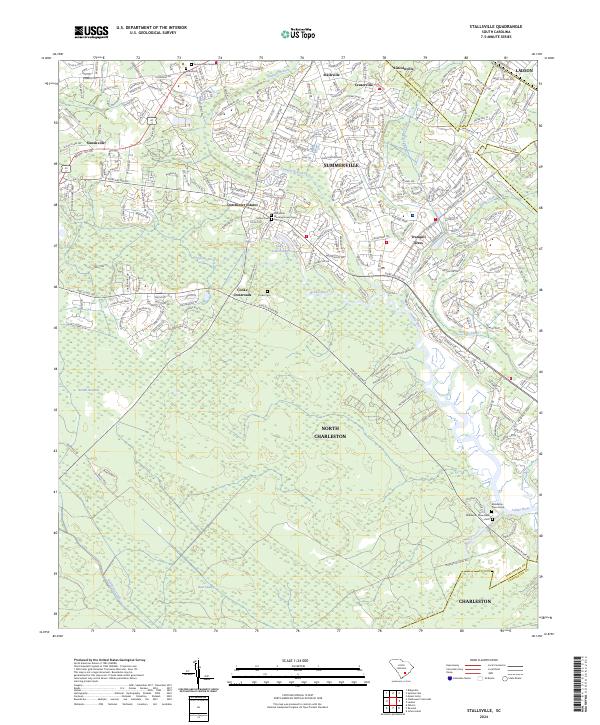 2024 Stallsville2024 Print · USGSThe Lowcountry landscape near Summerville is shown here as a blend of modern suburban growth and significant historic sites. Researchers can find deep local roots at the Middleton Place Slave Cem, the Old White Meeting House Cem, and Lincolnville.
End of results
Showing maps 1-15 of 15
Top cities near Summerville
- Charleston historical maps
- North Charleston historical maps
- Goose Creek historical maps
- Hanahan historical maps
- Moncks Corner historical maps
- Hollywood historical maps
See more
Top neighborhoods of Summerville
- Creekside historical maps
- Crichton Parish historical maps
- Summerville Place historical maps
- Summerville Place 2 historical maps
- Newington Plantation historical maps
- Oakbrook historical maps
See more
Frequently asked questions
- What are the different types of historical maps available for Summerville?
- What is the oldest map of Summerville?
- Where can I purchase historical maps of Summerville for my home or office?
- Where can I download high-res historical maps of Summerville?
- Are there historical topographic maps available for Summerville?
- Is there historical aerial imagery available for Summerville?
- Where are historical maps of Summerville sourced from?