2020s Maps of Edgefield County, South Carolina
Explore 32 historic maps of Edgefield County from the 2020s. These maps offer a rare glimpse into what life looked like during the 2020s — showing old roads, neighborhoods, homes, and landmarks that have changed or disappeared over time.
Whether you're researching your family's past, planning a metal detecting trip, or studying how Edgefield County's landscape evolved across the 2020s, these high-resolution maps are a powerful tool for exploring the history of this region.
- Focus on a specific era: All maps on this page are from the 2020s, giving you a focused view of this time period.
- See what’s changed: Compare century-old streets, trails, and buildings to today's modern landscape using overlays and satellite layers.
- Research with precision: Use these maps for genealogy, historical research, land use analysis, or educational projects.
- View, download, or print: Maps are fully viewable online in high resolution, and can be downloaded or printed for your own records.
Start exploring Edgefield County's history through authentic maps from the 2020s. This is your window into the past.
Edgefield County, SC maps
(32)- 2020 Map of North Augusta, 2020 Print
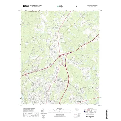 2020 North Augusta2020 Print · USGSCovers Edgefield County, including Augusta, North Augusta, and other nearby areas
 - 2020 Map of Ropers Crossroads, 2020 Print
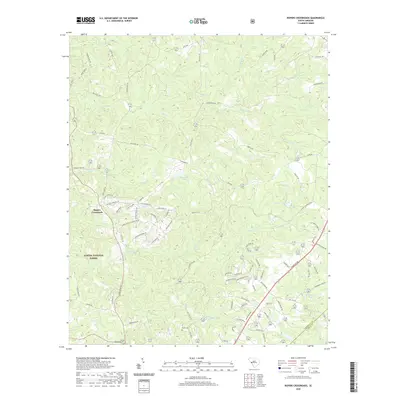 2020 Ropers Crossroads2020 Print · USGSCovers Edgefield County, including Ropers Crossroads, Aiken County, and other nearby areas
 - 2020 Map of Saluda South, 2020 Print
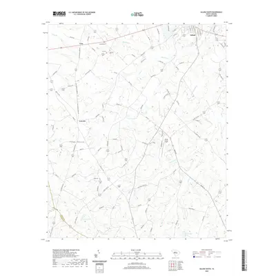 2020 Saluda South2020 Print · USGSCovers Edgefield County, including Saluda, Limp, and other nearby areas
 - 2020 Map of Johnston, 2020 Print
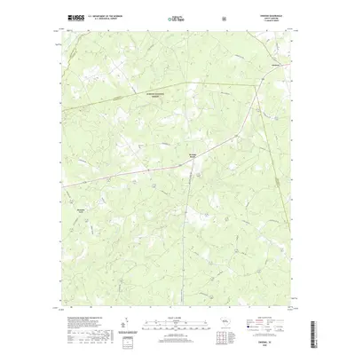
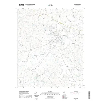 2020 Johnston2020 Print · USGSCovers Edgefield County, including Johnston, Trenton, and other nearby areas
 - 2020 Map of Owdoms, 2020 Print
 2020 Owdoms2020 Print · USGSCovers Edgefield County, including Meeting Street, Owdoms, and other nearby areas
 - 2020 Map of Ridge Spring, 2020 Print
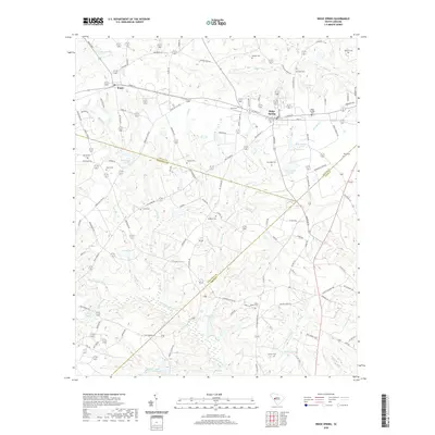 2020 Ridge Spring2020 Print · USGSCovers Edgefield County, including Ridge Spring, Ward, and other nearby areas
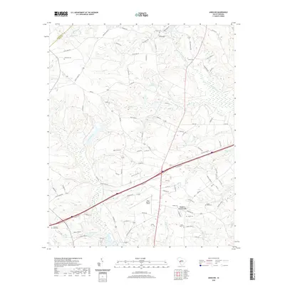
 - 2020 Map of Edgefield, 2020 Print
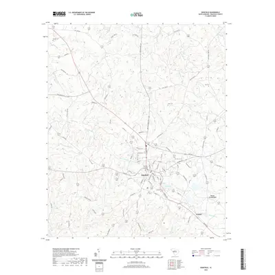 2020 Edgefield2020 Print · USGSCovers Edgefield County, including Edgefield, Parkhill, and other nearby areas
 - 2020 Map of Trenton, 2020 Print
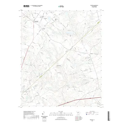 2020 Trenton2020 Print · USGSCovers Edgefield County, including Trenton, Rotalata, and other nearby areas
 - 2020 Map of Aiken NW, 2020 Print
 2020 Aiken NW2020 Print · USGSCovers Edgefield County, including Seiglers Crossroads, Aiken County, and other nearby areas
 - 2020 Map of Clarks Hill, 2020 Print
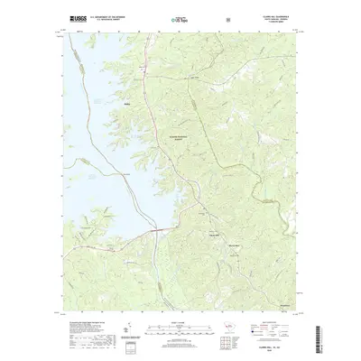 2020 Clarks Hill2020 Print · USGSCovers Edgefield County, including Modoc, Modoc Subdivision, and other nearby areas
 - 2020 Map of Parksville, 2020 Print
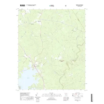 2020 Parksville2020 Print · USGSCovers Edgefield County, including Parksville, Parks Mill, and other nearby areas
 - 2020 Map of Winterseat, 2020 Print
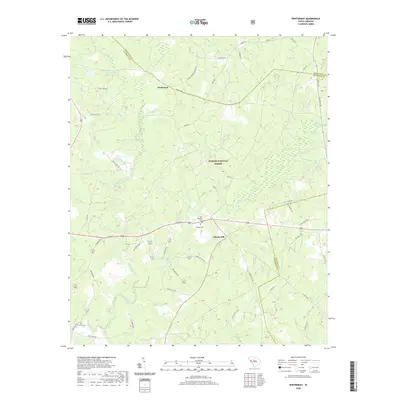 2020 Winterseat2020 Print · USGSCovers Edgefield County, including McCormick, Liberty Hill, and other nearby areas
 - 2020 Map of Red Hill, 2020 Print
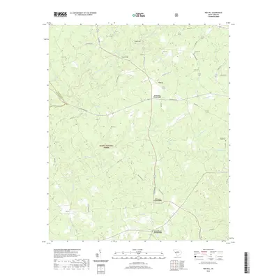 2020 Red Hill2020 Print · USGSCovers Edgefield County, including Johnson Crossroads, West Store Crossroads, and other nearby areas
 - 2020 Map of Colliers, 2020 Print
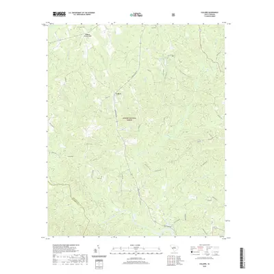 2020 Colliers2020 Print · USGSCovers Edgefield County, including Colliers, Millers Crossroads, and other nearby areas
 - 2020 Map of Limestone, 2020 Print
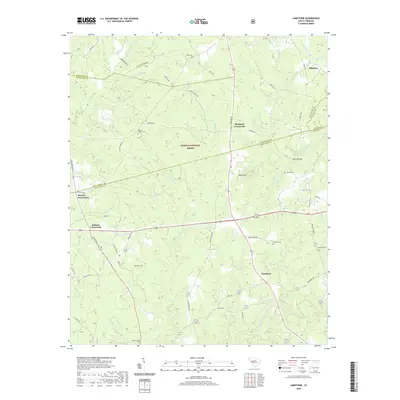 2020 Limestone2020 Print · USGSCovers Edgefield County, including Pittsburg, Sheppard Crossroads, and other nearby areas
 - 2020 Map of Martinez, 2020 Print
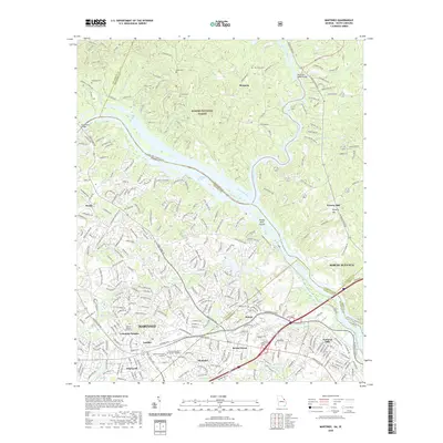 2020 Martinez2020 Print · USGSCovers Edgefield County, including Augusta, North Augusta, and other nearby areas
 - 2024 Map of Edgefield, 2024 Print
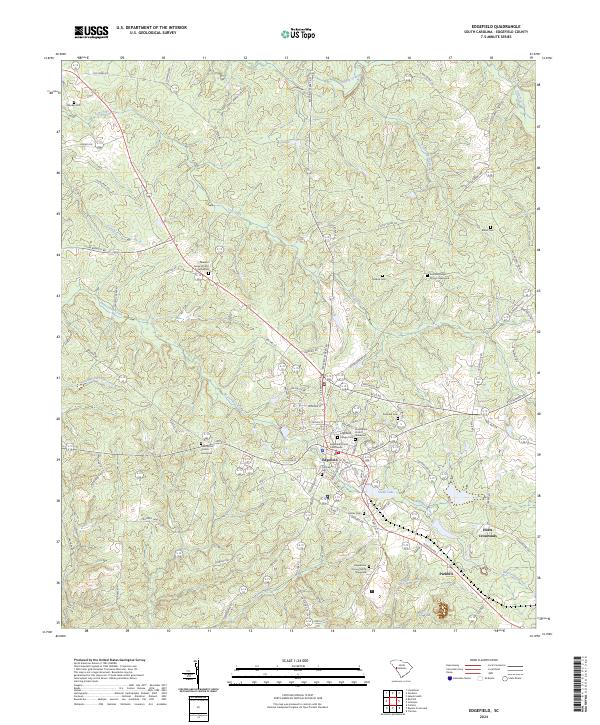 2024 Edgefield2024 Print · USGSEdgefield and its surrounding rural crossroads are captured here in the twenty-first century, showing a landscape defined by its long-standing cemeteries and churches. Researchers can locate many family-named landmarks including the Tutt Family Cem, Blocker Cem, and Huets Crossroads.
 - 2024 Map of Ropers Crossroads, 2024 Print
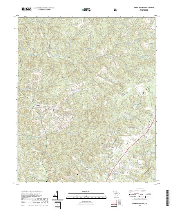 2024 Ropers Crossroads2024 Print · USGSThe rural landscape near the Edgefield and Aiken county line is mapped here in the early twenty-first century. Genealogists and local historians can trace the topography of Ropers Crossroads, find Home Cem, and locate the waters of Rainsford Pond.
 - 2024 Map of Johnston, 2024 Print
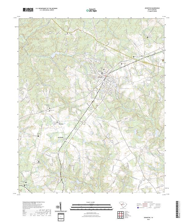 2024 Johnston2024 Print · USGSJohnston and the surrounding South Carolina Midlands are shown in this recent survey as a landscape of family-owned lands and rural parishes. Researchers can locate numerous heritage sites such as Harmony Church, Dry Creek Graveyard, and the Marsh Family Cemeteries near the headwaters of the South Fork Edisto River.
 - 2024 Map of Saluda South, 2024 Print
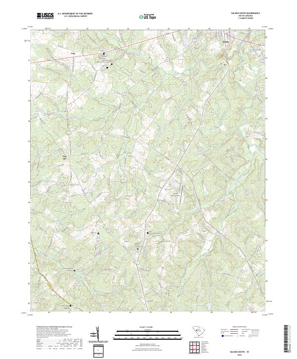 2024 Saluda South2024 Print · USGSThe rural landscape south of Saluda is meticulously documented in this recent survey, showing the complex drainage of the Little Saluda River. Genealogists can trace family names through numerous burial sites like Hill Cem and the Bethlehem Church Graveyard.
 - 2024 Map of Winterseat, 2024 Print
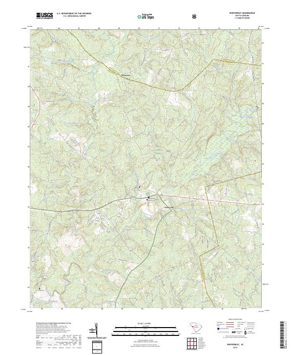 2024 Winterseat2024 Print · USGSThe McCormick and Greenwood county borders meet in this 2024 survey of the South Carolina Piedmont, where forest land and family history intersect. Genealogists can trace local roots at Zion Chapel Graveyard and First Bethany Baptist Church Cem.
 - 2024 Map of Ridge Spring, 2024 Print
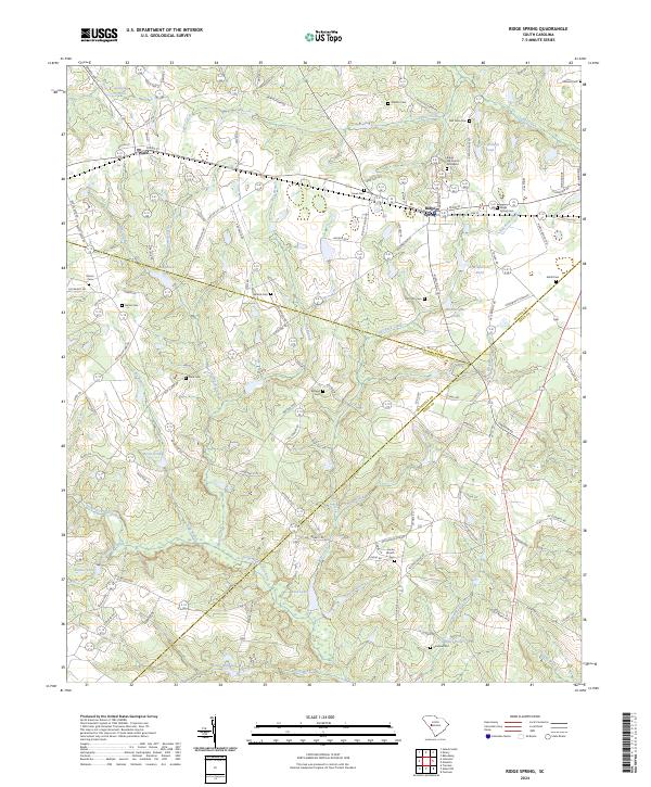 2024 Ridge Spring2024 Print · USGSSpanning the borders of Saluda, Edgefield, and Aiken counties, this survey captures the rural character of the Ridge country in the early twenty-first century. Genealogists can trace family connections at Ridge Hill Church Graveyard, Raiford Cem, and Herrin Cem near the town of Ridge Spring.
 - 2024 Map of Trenton, 2024 Print
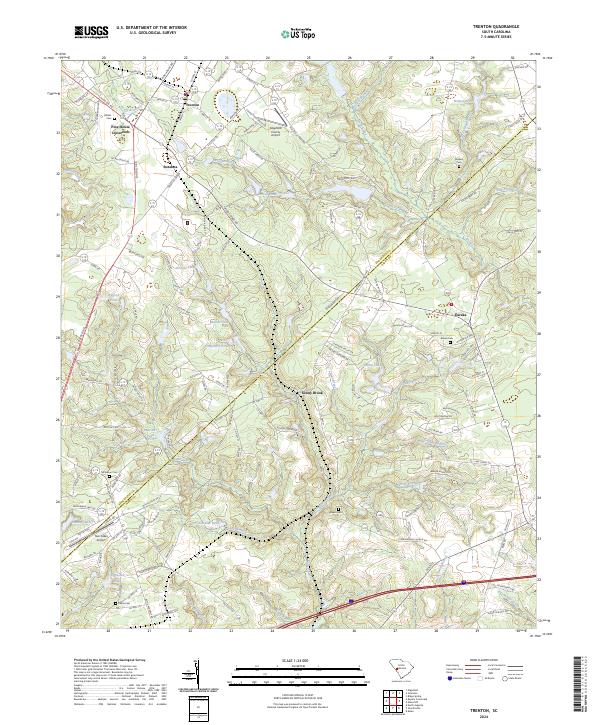 2024 Trenton2024 Print · USGSThe rural borderlands between Edgefield and Aiken Counties are detailed here in this 2024 survey. Local history researchers can locate several family cemeteries, including Wicker Cem and Brown Cem, alongside settlements like Pine House Crossroads and Sunny Brook.
 - 2024 Map of Red Hill, 2024 Print
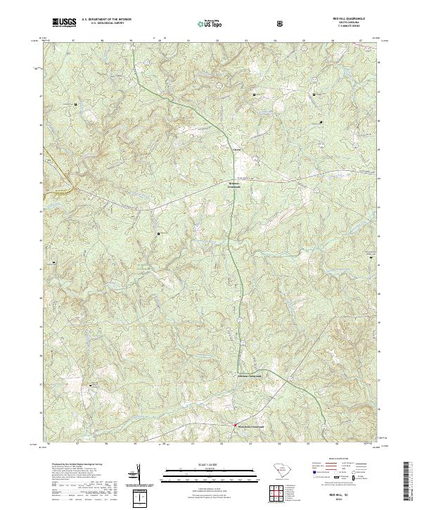 2024 Red Hill2024 Print · USGSEdgefield and McCormick counties remain deeply rural in this recent survey, dominated by the woodlands of Sumter National Forest. Researchers can locate family burial grounds like Hollingsworth Walker Cem and trace old routes through Brunson Crossroads.
 - 2024 Map of Aiken NW, 2024 Print
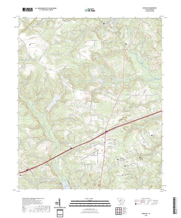 2024 Aiken NW2024 Print · USGSThe rural outskirts of Aiken are mapped here in the modern era, showing the transition from the Aiken Regional Airport to the headwaters of the South Fork Edisto River. Genealogists can trace family landmarks like the Seigler Family Cem and the Central Church Graveyard.
Showing maps 1-25 of 32
Top cities of Edgefield County
Frequently asked questions
- What are the different types of historical maps available for Edgefield County?
- What is the oldest map of Edgefield County?
- Where can I purchase historical maps of Edgefield County for my home or office?
- Where can I download high-res historical maps of Edgefield County?
- Are there historical topographic maps available for Edgefield County?
- Is there historical aerial imagery available for Edgefield County?
- Where are historical maps of Edgefield County sourced from?