Old Maps of Trenton, South Carolina for Academic Research
Study the evolution of Trenton with 21 high-resolution historic maps. Whether you're teaching, researching, or modeling changes in land use, these maps provide essential visual documentation of urban, environmental, and geographic change.
- Analyze long-term change: Track patterns in development, transportation, and natural features.
- Ideal for environmental or urban studies: Support academic projects with primary historical map data.
- Use in the classroom or lab: Educators and researchers rely on these maps to bring historical context to life.
These maps are a powerful tool for teaching, research, and visualizing how Trenton has changed over the decades.
Trenton, SC maps
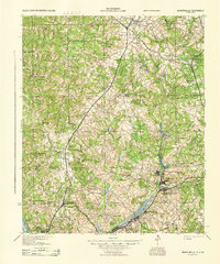
(21)- 1923 Map of Warrenville
 1923 Warrenville1923 Print · USGSAiken and Edgefield counties thrive during the early twentieth-century textile boom, showing a landscape shaped by mill towns and rural academies. Genealogists can trace family roots through numerous landmarks like Bettis Academy, Eureka Station, and Hammond Grove Church.2 unique versions available
 - 1928 Map of Warrenville
 1928 Warrenville1928 Print · USGSAiken and Edgefield counties are shown in the late 1920s as a thriving corridor of textile mills and rural academies. Researchers can trace the development of historic communities and landmarks like Bettis Academy, Vaucluse, and Meeting Grove Ch.3 unique versions available
 - 1943 Map of Warrenville
 1943 Warrenville1943 Print · USGSThe industrial corridor of Aiken County is captured here in the early 1940s, highlighting the mill towns along Horse Creek. Genealogists can trace family roots through numerous community landmarks like Bettis Academy, Horn Creek Ch, and the settlement at Vaucluse.
 - 1954 Map of Augusta
 1954 Augusta1954 Print · USGSThe Savannah River valley and South Carolina Midlands are captured here during a period of post-war growth. Researchers can trace the rail-and-river economy through the Southern RR corridor and locate historic settlements like Aiken, Orangeburg, and Sumter.
 - 1957 Map of Augusta, 1966 Print
 1957 Augusta1966 Print · USGSThe Savannah River and Santee basins are captured here during a period of massive military and industrial expansion in the late fifties. Genealogists can trace family footprints across Four Hole Swamp or near the Savannah River Plant.3 unique versions available
 - 1958 Map of Augusta
 1958 Augusta1958 Print · USGSThe borderlands between Georgia and South Carolina come alive in the 1950s, showing the early footprint of the Savannah River Plant. Genealogists and historians can trace rail-dependent towns and rural landmarks from Orangeburg to the Fort Jackson Military Reservation.
 - 1961 Map of Augusta
 1961 Augusta1961 Print · USGSThe South Carolina lowcountry and CSRA appear here in the early sixties, during a period of massive military and industrial growth. Researchers can trace the development of the Savannah River Plant or locate legacy landmarks like Nelson Ferry and Magnolia Cemetery.2 unique versions available
 - 1962 Map of Augusta
 1962 Augusta1962 Print · USGSThe South Carolina and Georgia borderlands are seen here in the early sixties, showing the rise of the Savannah River Plant and the expansion of Fort Jackson. Researchers can trace old rail lines like the Southern Railway and find landmarks such as St. Pauls Church or the Santee Canal.
 - 1964 Map of Trenton, 1965 Print
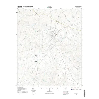
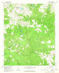 1964 Trenton1965 Print · USGSSouth Carolina’s Ridge country is captured here in the mid-1960s, showing a landscape of family-run farms and early industrial sites. Researchers can locate the historic Bettis Academy, trace the SOUTHERN railroad through Trenton, and find local landmarks like Pine House Crossroads or the Douglas Sch.3 unique versions available
 - 1964 Map of Johnston, 1966 Print
 1964 Johnston1966 Print · USGSEdgefield and Saluda counties are shown in the mid-1960s as the regional rail and agricultural economy transitioned. Genealogists can locate family-named sites such as Holmes Cem, Warren Cem, and the historic Shaws Creek Ch.2 unique versions available
 - 1983 Map of Aiken, 1984 Print
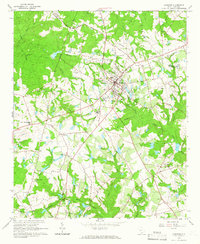
 1983 Aiken1984 Print · USGSThe Savannah River valley and South Carolina sandhills are shown in detail during the early eighties, as industry and education expanded. Researchers can trace the rail corridors of the Southern and Seaboard Coast Line through communities like Graniteville and Leesville.
 - 2011 Map of Trenton, 2011 Print
 2011 Trenton2011 Print · USGSCovers Trenton, including Rotalata, Eureka, and other nearby areas
 - 2011 Map of Johnston, 2011 Print
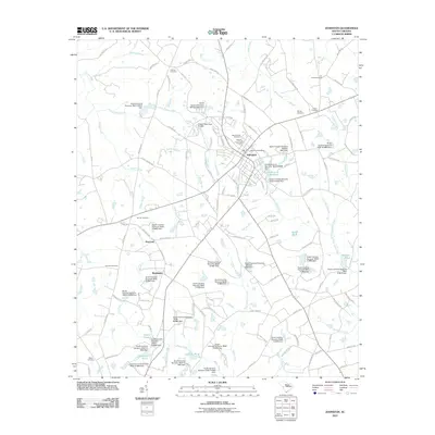 2011 Johnston2011 Print · USGSCovers Trenton, including Johnston, Harmony, and other nearby areas
 - 2014 Map of Trenton, 2014 Print
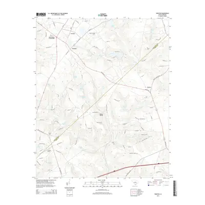 2014 Trenton2014 Print · USGSCovers Trenton, including Rotalata, Eureka, and other nearby areas
 - 2014 Map of Johnston, 2014 Print
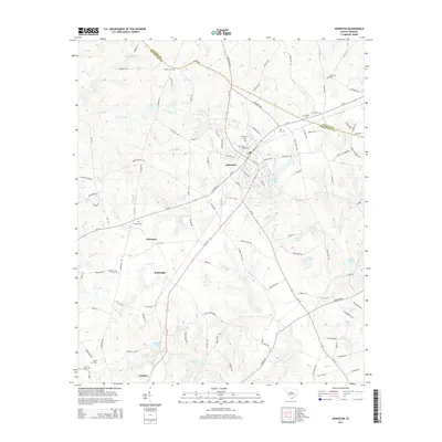 2014 Johnston2014 Print · USGSCovers Trenton, including Johnston, Harmony, and other nearby areas
 - 2017 Map of Trenton, 2017 Print
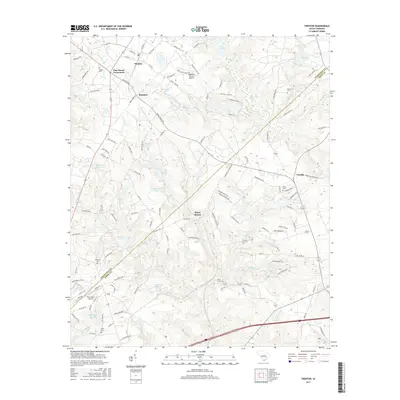 2017 Trenton2017 Print · USGSCovers Trenton, including Rotalata, Eureka, and other nearby areas
 - 2017 Map of Johnston, 2017 Print
 2017 Johnston2017 Print · USGSCovers Trenton, including Johnston, Harmony, and other nearby areas
 - 2020 Map of Johnston, 2020 Print
 2020 Johnston2020 Print · USGSCovers Trenton, including Johnston, Harmony, and other nearby areas
 - 2020 Map of Trenton, 2020 Print
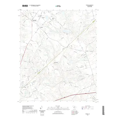 2020 Trenton2020 Print · USGSCovers Trenton, including Rotalata, Eureka, and other nearby areas
 - 2024 Map of Johnston, 2024 Print
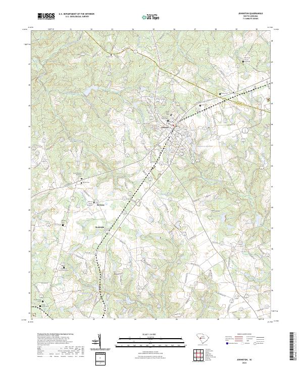 2024 Johnston2024 Print · USGSJohnston and the surrounding South Carolina Midlands are shown in this recent survey as a landscape of family-owned lands and rural parishes. Researchers can locate numerous heritage sites such as Harmony Church, Dry Creek Graveyard, and the Marsh Family Cemeteries near the headwaters of the South Fork Edisto River.
 - 2024 Map of Trenton, 2024 Print
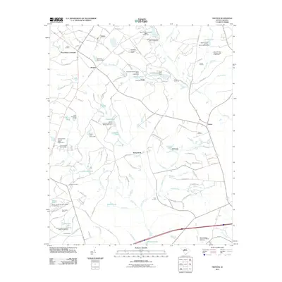
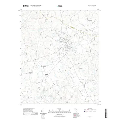
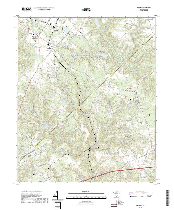 2024 Trenton2024 Print · USGSThe rural borderlands between Edgefield and Aiken Counties are detailed here in this 2024 survey. Local history researchers can locate several family cemeteries, including Wicker Cem and Brown Cem, alongside settlements like Pine House Crossroads and Sunny Brook.
End of results
Showing maps 1-21 of 21
Top cities near Trenton
- Augusta historical maps
- Aiken historical maps
- North Augusta historical maps
- Edgefield historical maps
- Johnston historical maps
- Ridge Spring historical maps
See more
Frequently asked questions
- What are the different types of historical maps available for Trenton?
- What is the oldest map of Trenton?
- Where can I purchase historical maps of Trenton for my home or office?
- Where can I download high-res historical maps of Trenton?
- Are there historical topographic maps available for Trenton?
- Is there historical aerial imagery available for Trenton?
- Where are historical maps of Trenton sourced from?