Old Maps of Scranton, South Carolina for Academic Research
Study the evolution of Scranton with 18 high-resolution historic maps. Whether you're teaching, researching, or modeling changes in land use, these maps provide essential visual documentation of urban, environmental, and geographic change.
- Analyze long-term change: Track patterns in development, transportation, and natural features.
- Ideal for environmental or urban studies: Support academic projects with primary historical map data.
- Use in the classroom or lab: Educators and researchers rely on these maps to bring historical context to life.
These maps are a powerful tool for teaching, research, and visualizing how Scranton has changed over the decades.
Scranton, SC maps
(18)- 1946 Map of Hyman
 1946 Hyman1946 Print · USGSCoastal plain settlements and river landings define this mid-1940s survey of the Florence and Williamsburg county line. Researchers can trace family history through numerous rural landmarks like the Leo Post Office, Gause Cem, and Prosser Tabernacle.
 - 1946 Map of Lake City
 1946 Lake City1946 Print · USGSMid-century Florence and Williamsburg counties are seen here through a network of rural crossroads and river bottomlands just after the war. Researchers can trace family roots at Holly Tree Plantation, Bethany Cem, and dozens of local schools from Olanta to Lake City.
 - 1949 Map of Georgetown, 1953 Print
 1949 Georgetown1953 Print · USGSThe South Carolina coast and North Carolina borderlands appear here in the mid-century, prior to the major modern development of the Grand Strand. Genealogists and historians can trace the rail networks of the Seaboard Air Line Railroad and locate coastal landmarks from Fort Caswell to McClellanville.
 - 1967 Map of Georgetown
 1967 Georgetown1967 Print · USGSThe South Carolina Lowcountry and Grand Strand meet in the late sixties, showcasing a coastal landscape transitioning from river-based industry to seaside tourism. Researchers can trace the Intracoastal Waterway past Georgetown or locate historical sites like Fort Fisher and Murrells Inlet.
 - 1974 Map of Georgetown, 1978 Print
 1974 Georgetown1978 Print · USGSThe Carolina coast and Pee Dee region are shown here in the mid-seventies, just as the Grand Strand was maturing into a premier destination. Researchers can trace the inland rail corridors of the Seaboard Coast Line Railroad or explore the coastal reaches of the Cape Romain National Wildlife Refuge and Myrtle Beach State Park.2 unique versions available
 - 1986 Map of Kingstree
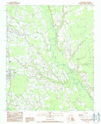
 1986 Kingstree1986 Print · USGSThe South Carolina Lowcountry in the mid-eighties shows a landscape defined by the Black River and the growing coastal communities of the Grand Strand. Researchers can trace historic river settlements and rail stops like Salters Depot, Pamplico, and Hemingway.2 unique versions available
 - 1990 Map of Scranton
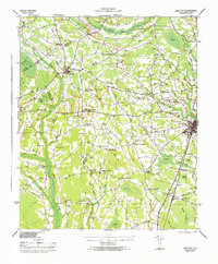
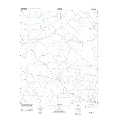
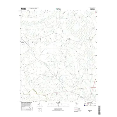
 1990 Scranton1990 Print · USGSFlorence County life in the early nineties is centered on the railroad corridor and the wetlands of the Lynches River. Genealogists and local historians can trace family roots through several Cem locations and the settlements of Scranton, Coward, and Friendfield.
 - 1990 Map of Mill Bay
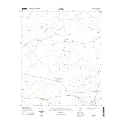
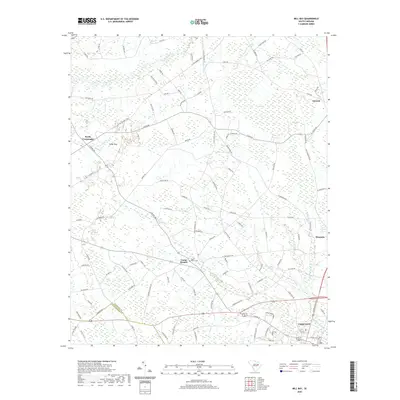
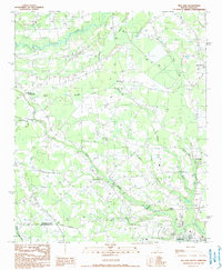 1990 Mill Bay1990 Print · USGSThe Florence and Williamsburg county line comes alive in the 1990s as a landscape of agricultural settlements and distinctive Carolina Bays. Genealogists and local historians can trace family locations near Lake City, Byrds Crossroads, and along the banks of Lynches River.
 - 2011 Map of Scranton, 2011 Print
 2011 Scranton2011 Print · USGSCovers Scranton, including Lake City, Coward, and other nearby areas
 - 2011 Map of Mill Bay, 2011 Print
 2011 Mill Bay2011 Print · USGSCovers Scranton, including Lake City, Coward, and other nearby areas
 - 2014 Map of Scranton, 2014 Print
 2014 Scranton2014 Print · USGSCovers Scranton, including Lake City, Coward, and other nearby areas
 - 2014 Map of Mill Bay, 2014 Print
 2014 Mill Bay2014 Print · USGSCovers Scranton, including Lake City, Coward, and other nearby areas
 - 2017 Map of Scranton, 2017 Print
 2017 Scranton2017 Print · USGSCovers Scranton, including Lake City, Coward, and other nearby areas
 - 2017 Map of Mill Bay, 2017 Print
 2017 Mill Bay2017 Print · USGSCovers Scranton, including Lake City, Coward, and other nearby areas
 - 2020 Map of Mill Bay, 2020 Print
 2020 Mill Bay2020 Print · USGSCovers Scranton, including Lake City, Coward, and other nearby areas
 - 2020 Map of Scranton, 2020 Print
 2020 Scranton2020 Print · USGSCovers Scranton, including Lake City, Coward, and other nearby areas
 - 2024 Map of Mill Bay, 2024 Print
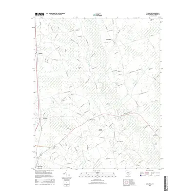
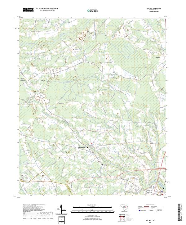 2024 Mill Bay2024 Print · USGSThe Florence and Williamsburg county line area comes into focus here during the early twenty-first century. Genealogists can locate family landmarks like the Strickland Feagin Cem, Martha Crosby Cem, and Camp Branch Church among the unique landforms of Indigo Bay.
 - 2024 Map of Scranton, 2024 Print
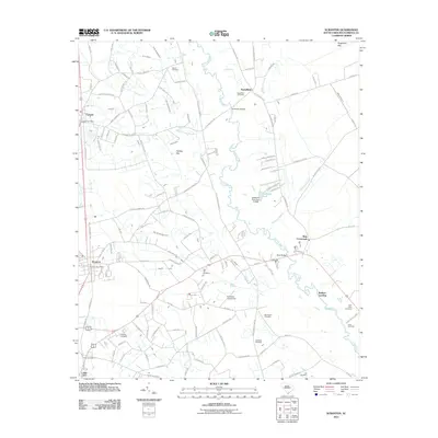
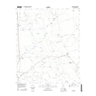
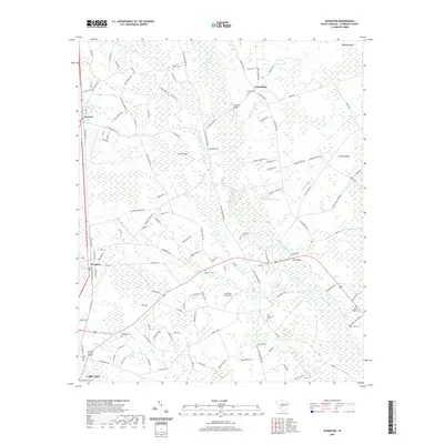
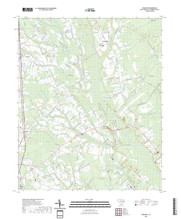 2024 Scranton2024 Print · USGSFlorence County's agricultural heartland is documented here in the early twenty-first century, centered on the Lynches River corridor. Genealogists can trace family legacies at Hebron Church, Old Liberty Cem, and the Saint John Church Graveyard.
End of results
Showing maps 1-18 of 18
Top cities near Scranton
- Florence historical maps
- Lake City historical maps
- Timmonsville historical maps
- Pamplico historical maps
- Coward historical maps
- Olanta historical maps
See more
Frequently asked questions
- What are the different types of historical maps available for Scranton?
- What is the oldest map of Scranton?
- Where can I purchase historical maps of Scranton for my home or office?
- Where can I download high-res historical maps of Scranton?
- Are there historical topographic maps available for Scranton?
- Is there historical aerial imagery available for Scranton?
- Where are historical maps of Scranton sourced from?