2000s (21st Century) Maps of Timmonsville, South Carolina
Explore 10 historic maps of Timmonsville from the 2000s (21st Century). These maps offer a rare glimpse into what life looked like during the 2000s — showing old roads, neighborhoods, homes, and landmarks that have changed or disappeared over time.
Whether you're researching your family's past, planning a metal detecting trip, or studying how Timmonsville's landscape evolved across the 2000s, these high-resolution maps are a powerful tool for exploring the history of this region.
- Focus on a specific era: All maps on this page are from the 2000s, giving you a focused view of this time period.
- See what’s changed: Compare century-old streets, trails, and buildings to today's modern landscape using overlays and satellite layers.
- Research with precision: Use these maps for genealogy, historical research, land use analysis, or educational projects.
- View, download, or print: Maps are fully viewable online in high resolution, and can be downloaded or printed for your own records.
Start exploring Timmonsville's history through authentic maps from the 2000s. This is your window into the past.
Timmonsville, SC maps
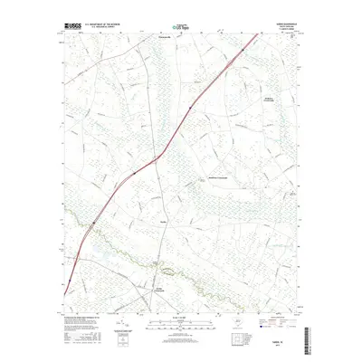
(10)- 2011 Map of Timmonsville, 2011 Print
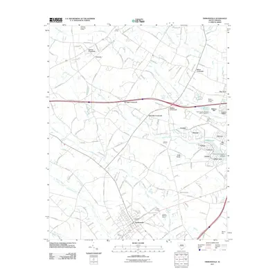 2011 Timmonsville2011 Print · USGSCovers Timmonsville, including Florence, Kelly Farms, and other nearby areas
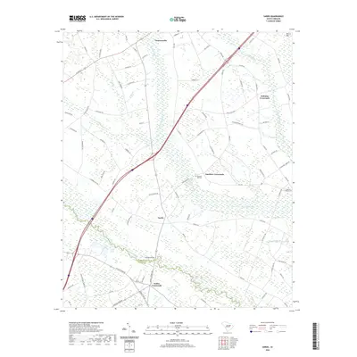
 - 2011 Map of Sardis, 2011 Print
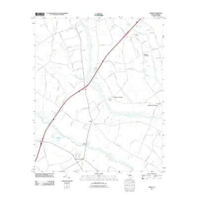 2011 Sardis2011 Print · USGSCovers Timmonsville, including Hollman Crossroads, Sparrows Crossroads, and other nearby areas
 - 2014 Map of Sardis, 2014 Print
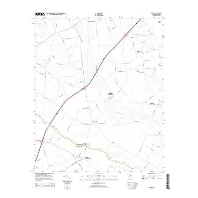 2014 Sardis2014 Print · USGSCovers Timmonsville, including Hollman Crossroads, Sparrows Crossroads, and other nearby areas
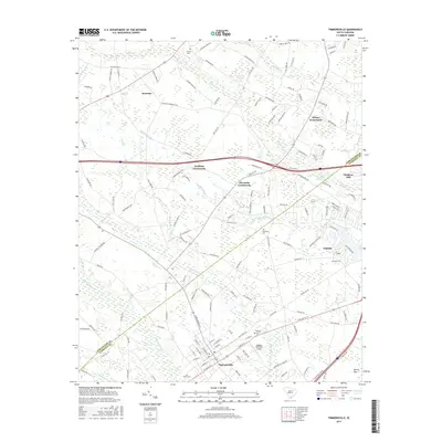
 - 2014 Map of Timmonsville, 2014 Print
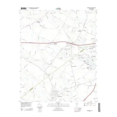 2014 Timmonsville2014 Print · USGSCovers Timmonsville, including Florence, Kelly Farms, and other nearby areas
 - 2017 Map of Sardis, 2017 Print
 2017 Sardis2017 Print · USGSCovers Timmonsville, including Hollman Crossroads, Sparrows Crossroads, and other nearby areas
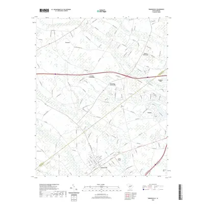
 - 2017 Map of Timmonsville, 2017 Print
 2017 Timmonsville2017 Print · USGSCovers Timmonsville, including Florence, Kelly Farms, and other nearby areas
 - 2020 Map of Sardis, 2020 Print
 2020 Sardis2020 Print · USGSCovers Timmonsville, including Hollman Crossroads, Sparrows Crossroads, and other nearby areas
 - 2020 Map of Timmonsville, 2020 Print
 2020 Timmonsville2020 Print · USGSCovers Timmonsville, including Florence, Kelly Farms, and other nearby areas
 - 2024 Map of Timmonsville, 2024 Print
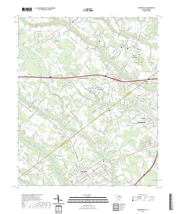 2024 Timmonsville2024 Print · USGSThe borderlands of Darlington and Florence counties are revealed in this modern survey, highlighting the wetlands of Sparrow Swamp. Genealogists can trace family names at Garner Cem and Sansbury Cem or explore crossroads like Syracuse.
 - 2024 Map of Sardis, 2024 Print
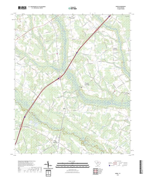 2024 Sardis2024 Print · USGSCoastal plain settlements and lowcountry wetlands converge in this recent look at the Florence and Sumter county border. Researchers can trace rural community centers like Sardis, Hobbs Crossroads, and the grounds of the Sparrow Swamp Church.
End of results
Showing maps 1-10 of 10
Top cities near Timmonsville
- Florence historical maps
- Hartsville historical maps
- Darlington historical maps
- Lamar historical maps
- Scranton historical maps
- Quinby historical maps
See more
Frequently asked questions
- What are the different types of historical maps available for Timmonsville?
- What is the oldest map of Timmonsville?
- Where can I purchase historical maps of Timmonsville for my home or office?
- Where can I download high-res historical maps of Timmonsville?
- Are there historical topographic maps available for Timmonsville?
- Is there historical aerial imagery available for Timmonsville?
- Where are historical maps of Timmonsville sourced from?