Old Maps of Timmonsville, South Carolina for Hiking & Exploration
Hike through history with 17 historic maps of Timmonsville. Explore old trails, ghost towns, and forgotten backroads — perfect for outdoor adventurers and local explorers.
- Rediscover forgotten places: Map out old mining camps, roads, and footpaths that no longer exist on modern maps.
- Layer with modern tools: Combine with LiDAR or satellite views to plan hikes through historical terrain.
- Made for exploration: Popular among hikers, overlanders, and local history lovers.
Use these maps to find adventure and explore the hidden past of Timmonsville.
Timmonsville, SC maps
(17)- 1940 Map of Florence West
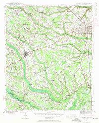 1940 Florence West1940 Print · USGSThe rural landscapes and rail towns west of Florence appear here just before the mid-century, as the local economy revolved around the river and the tracks. Genealogists can trace family roots through numerous country churches like Snow Hill Ch and old settlements like Timmonsville and Ebenezer.2 unique versions available
 - 1945 Map of Florence West
 1945 Florence West1945 Print · USGSInland South Carolina during the mid-1940s is defined here by the converging rails of the Atlantic Coast Line and a network of rural crossroads. Researchers can trace ancestral locations through dozens of landmarks like Anderson Cem, Muldrow Mill, and Syracuse.2 unique versions available
 - 1953 Map of Florence, 1964 Print
 1953 Florence1964 Print · USGSThe Carolina borderlands in the mid-fifties were a landscape of vast river swamps and rising rail towns. Trace the legacy of the Seaboard Air Line through Florence or explore the wetlands surrounding Lake Waccamaw and the Green Swamp.3 unique versions available
 - 1954 Map of Florence
 1954 Florence1954 Print · USGSThe Carolinas borderlands come alive in the early fifties, showing the vital rail-and-river networks of the coastal plain. Genealogists can trace family footprints across the Green Swamp or through settlements like Red Springs, Chadbourn, and McColl.
 - 1983 Map of Florence, 1985 Print
 1983 Florence1985 Print · USGSThe Pee Dee region in the early eighties shows a landscape shaped by river commerce and rail expansion. Researchers can trace historic river crossings at Galivants Ferry or locate vanished rail stops like Willow Creek Siding and Blue Brick.
 - 1986 Map of Timmonsville, 1987 Print
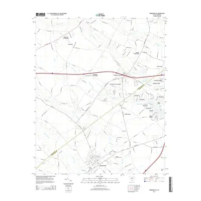
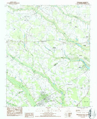 1986 Timmonsville1987 Print · USGSThe rural communities of Florence and Darlington Counties come alive in the mid-1980s, centered on the activity of Timmonsville. Genealogists and historians can trace family-named sites like Jernigan Crossroads, Byrd Cem, and the historic Muldrow Mill.
 - 1986 Map of Sardis, 1987 Print
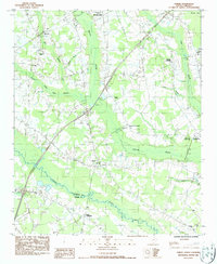 1986 Sardis1987 Print · USGSThe Florence and Sumter county border comes alive in the mid-1980s, showcasing a landscape of swamp-bottomed lowlands and traditional crossroads. Researchers can trace rural lineages through sites like Sansbury Hill Cem, Howard Chapel, and Sparrows Crossroads.
 - 2011 Map of Timmonsville, 2011 Print
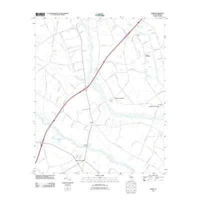
 2011 Timmonsville2011 Print · USGSCovers Timmonsville, including Florence, Kelly Farms, and other nearby areas
 - 2011 Map of Sardis, 2011 Print
 2011 Sardis2011 Print · USGSCovers Timmonsville, including Hollman Crossroads, Sparrows Crossroads, and other nearby areas
 - 2014 Map of Sardis, 2014 Print
 2014 Sardis2014 Print · USGSCovers Timmonsville, including Hollman Crossroads, Sparrows Crossroads, and other nearby areas
 - 2014 Map of Timmonsville, 2014 Print
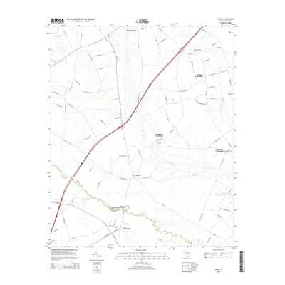
 2014 Timmonsville2014 Print · USGSCovers Timmonsville, including Florence, Kelly Farms, and other nearby areas
 - 2017 Map of Sardis, 2017 Print
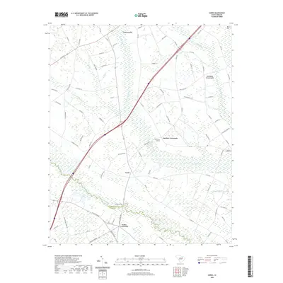
 2017 Sardis2017 Print · USGSCovers Timmonsville, including Hollman Crossroads, Sparrows Crossroads, and other nearby areas
 - 2017 Map of Timmonsville, 2017 Print
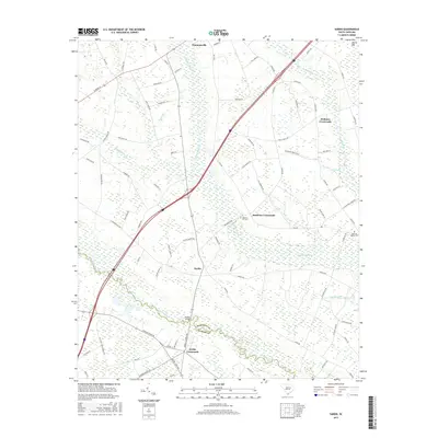
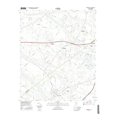 2017 Timmonsville2017 Print · USGSCovers Timmonsville, including Florence, Kelly Farms, and other nearby areas
 - 2020 Map of Sardis, 2020 Print
 2020 Sardis2020 Print · USGSCovers Timmonsville, including Hollman Crossroads, Sparrows Crossroads, and other nearby areas
 - 2020 Map of Timmonsville, 2020 Print
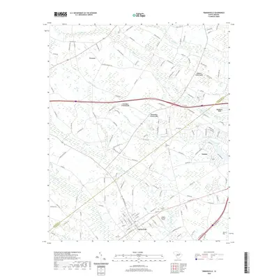 2020 Timmonsville2020 Print · USGSCovers Timmonsville, including Florence, Kelly Farms, and other nearby areas
 - 2024 Map of Timmonsville, 2024 Print
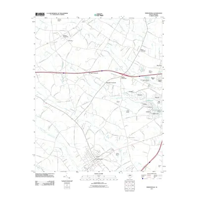
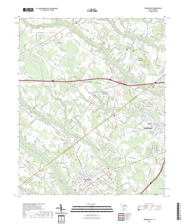 2024 Timmonsville2024 Print · USGSThe borderlands of Darlington and Florence counties are revealed in this modern survey, highlighting the wetlands of Sparrow Swamp. Genealogists can trace family names at Garner Cem and Sansbury Cem or explore crossroads like Syracuse.
 - 2024 Map of Sardis, 2024 Print
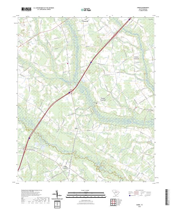 2024 Sardis2024 Print · USGSCoastal plain settlements and lowcountry wetlands converge in this recent look at the Florence and Sumter county border. Researchers can trace rural community centers like Sardis, Hobbs Crossroads, and the grounds of the Sparrow Swamp Church.
End of results
Showing maps 1-17 of 17
Top cities near Timmonsville
- Florence historical maps
- Hartsville historical maps
- Darlington historical maps
- Lamar historical maps
- Scranton historical maps
- Quinby historical maps
See more
Frequently asked questions
- What are the different types of historical maps available for Timmonsville?
- What is the oldest map of Timmonsville?
- Where can I purchase historical maps of Timmonsville for my home or office?
- Where can I download high-res historical maps of Timmonsville?
- Are there historical topographic maps available for Timmonsville?
- Is there historical aerial imagery available for Timmonsville?
- Where are historical maps of Timmonsville sourced from?