Old Maps of Mauldin, South Carolina for Genealogy
Trace your family roots with 20 historic maps of Mauldin. These high-res maps reveal old neighborhoods, homesites, landmarks, and streets — helping you uncover where your ancestors lived and how the area evolved over time.
- Explore historic neighborhoods: Identify where your relatives may have lived in the 1800s or 1900s.
- Compare maps over time: Trace the changes in streets, buildings, and landmarks for multi-generational research.
- Perfect for genealogy & ancestry research: Used by family historians and researchers to map out lineage and migration.
These maps are an incredible resource for exploring your personal connection to Mauldin's past.
Mauldin, SC maps
(20)- 1935 Map of Greenville
 1935 Greenville1935 Print · USGSGreenville and its surrounding Piedmont communities are shown in detail during the mid-1930s as the textile and rail economy expanded. Researchers can find numerous local landmarks like Chick Springs, the Judson Cemetery, and Travelers Rest.
 - 1938 Map of Greenville
 1938 Greenville1938 Print · USGSGreenville and its surrounding textile communities thrive in the mid-1930s as a major Piedmont industrial and rail hub. Researchers can locate numerous rural landmarks like the Rosenwald Sch, trace the Southern RR, or find family sites near Saluda Lake.2 unique versions available
 - 1954 Map of Greenville, 1965 Print
 1954 Greenville1965 Print · USGSThe Upstate and Northeast Georgia are captured here during a decade of massive transformation as new reservoirs reshaped the Piedmont. Genealogists and hikers can trace the Appalachian Trail over Brasstown Bald or locate old community centers like Demorest, Westminster, and Royston.3 unique versions available
 - 1957 Map of Williamston, 1958 Print
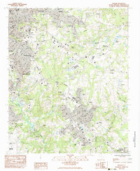
 1957 Williamston1958 Print · USGSMid-century South Carolina comes into focus as textile towns and military installations expand across the Piedmont landscape. Genealogists can trace family roots through dozens of rural landmarks like McKelvey Crossroads, Standing Springs Ch, and Traynham Cem.2 unique versions available
 - 1957 Map of Greenville, 1959 Print
 1957 Greenville1959 Print · USGSGreenville and its industrial suburbs are captured during a period of rapid mid-century expansion and military prominence. Genealogists and historians can locate established mill communities like Monaghan, the sprawling Donaldson Air Force Base, and the campuses of Furman University and Bob Jones University.
 - 1958 Map of Greenville
 1958 Greenville1958 Print · USGSThe Piedmont and Blue Ridge foothills come alive in this mid-century survey of the Upstate and Northeast Georgia. Trace the regional rail-and-river economy through the Southern Railway corridors and early reservoir developments like Lake Sidney Lanier.
 - 1983 Map of Simpsonville
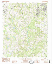 1983 Simpsonville1983 Print · USGSSimpsonville and the surrounding Greenville County countryside are shown here in the early eighties as suburban growth meets rural traditions. Genealogists can locate family sites like Cureton Cem or historic congregations at Standing Springs Ch and Antioch Ch.2 unique versions available
 - 1983 Map of Mauldin
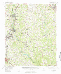
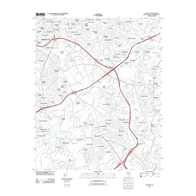
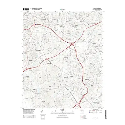
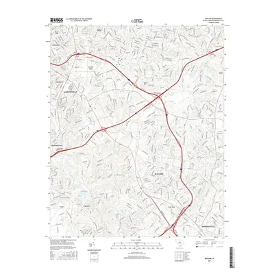
 1983 Mauldin1983 Print · USGSGreenville County was entering a period of rapid suburban expansion in the early eighties. Researchers can trace the evolution of local neighborhoods from Greenville to Mauldin, locating landmarks like Bob Jones University and the Donaldson Center Airport.2 unique versions available
 - 1984 Map of Greenville
 1984 Greenville1984 Print · USGSThe South Carolina Upstate undergoes rapid suburban growth in the mid-eighties as modern interstates begin to reshape the landscape. Researchers can trace historic rail lines like the Greenville and Northern Railway and locate local landmarks such as Clemson University and Paris Mountain State Park.
 - 1991 Map of Greenville
 1991 Greenville1991 Print · USGSThe South Carolina Upstate was a landscape of rapid growth and engineering in the early nineties. Researchers can trace the expansion of Greenville and Spartanburg, find Clemson University, or study the massive reservoirs of Hartwell Lake and Lake Keowee.
 - 2011 Map of Simpsonville, 2011 Print
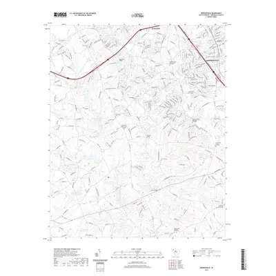
 2011 Simpsonville2011 Print · USGSCovers Mauldin, including Simpsonville, Westwood, and other nearby areas
 - 2011 Map of Mauldin, 2011 Print
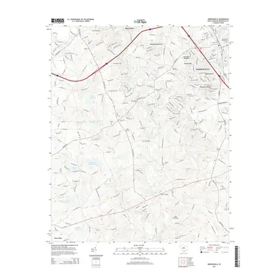
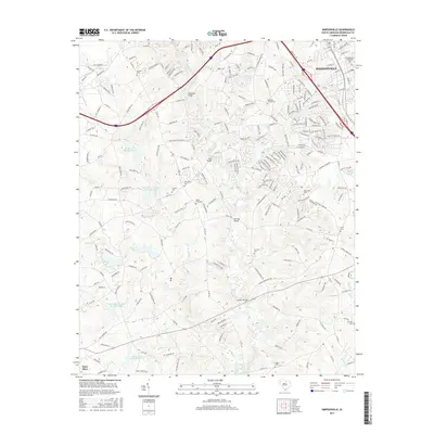
 2011 Mauldin2011 Print · USGSCovers Mauldin, including Greenville, Simpsonville, and other nearby areas
 - 2014 Map of Simpsonville, 2014 Print
 2014 Simpsonville2014 Print · USGSCovers Mauldin, including Simpsonville, Westwood, and other nearby areas
 - 2014 Map of Mauldin, 2014 Print
 2014 Mauldin2014 Print · USGSCovers Mauldin, including Greenville, Simpsonville, and other nearby areas
 - 2017 Map of Simpsonville, 2017 Print
 2017 Simpsonville2017 Print · USGSCovers Mauldin, including Simpsonville, Westwood, and other nearby areas
 - 2017 Map of Mauldin, 2017 Print
 2017 Mauldin2017 Print · USGSCovers Mauldin, including Greenville, Simpsonville, and other nearby areas
 - 2020 Map of Mauldin, 2020 Print
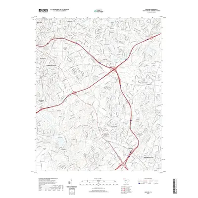 2020 Mauldin2020 Print · USGSCovers Mauldin, including Greenville, Simpsonville, and other nearby areas
 - 2020 Map of Simpsonville, 2020 Print
 2020 Simpsonville2020 Print · USGSCovers Mauldin, including Simpsonville, Westwood, and other nearby areas
 - 2024 Map of Simpsonville, 2024 Print
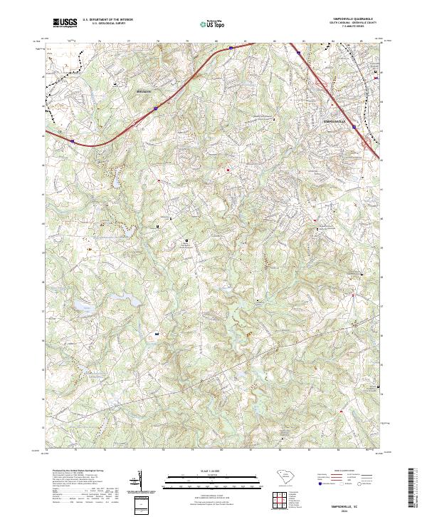 2024 Simpsonville2024 Print · USGSSimpsonville and Mauldin are captured in this recent survey, showcasing the enduring Piedmont landscape of Greenville County. Genealogists can trace family burial sites at the Fairview Presbyterian Church Graveyard and Antioch Cem or locate old routes like Old Stage Rd.
 - 2024 Map of Mauldin, 2024 Print
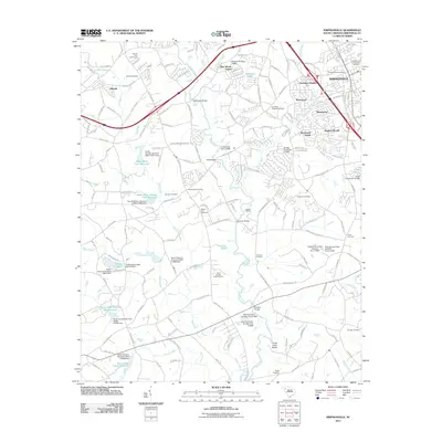
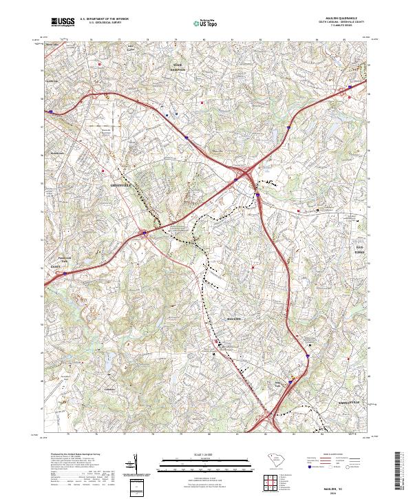 2024 Mauldin2024 Print · USGSMauldin and the Greenville suburbs are shown in their modern configuration, balancing industrial hubs with established residential neighborhoods. Researchers can locate several historic burial grounds like Rocky Creek Baptist Church Graveyard and the sprawling Donaldson Field.
End of results
Showing maps 1-20 of 20
Top cities near Mauldin
- Greenville historical maps
- Greer historical maps
- Simpsonville historical maps
- Wade Hampton historical maps
- Fountain Inn historical maps
- Lyman historical maps
See more
Top neighborhoods of Mauldin
- Knollwood historical maps
- Montclaire historical maps
- Crescentwood Village historical maps
- Rustic Estates historical maps
- Montclair historical maps
- Holly Springs historical maps
See more
Frequently asked questions
- What are the different types of historical maps available for Mauldin?
- What is the oldest map of Mauldin?
- Where can I purchase historical maps of Mauldin for my home or office?
- Where can I download high-res historical maps of Mauldin?
- Are there historical topographic maps available for Mauldin?
- Is there historical aerial imagery available for Mauldin?
- Where are historical maps of Mauldin sourced from?