Old Maps of Cayce, South Carolina
Explore 20 old maps of Cayce, spanning from 1944 to today. These high-resolution historic maps reveal how streets, neighborhoods, landmarks, and natural features evolved over time — perfect for genealogy, metal detecting, research, and local history exploration.
What you can do with these maps:
- See how Cayce changed over time: Compare historical maps to modern-day views to trace roads, homesites, rail lines & more.
- View detailed metadata: Each map includes creators, publishers, year, scale, and archive source.
- Overlay maps with satellite & LiDAR: Visualize the past alongside modern tools to explore terrain & human change.
- Trusted historical sources: Maps sourced from the USGS, Library of Congress, and other archives.
- Access maps your way: View online, download high-res files, or order prints for personal or research use.
Start exploring old maps of Cayce to uncover forgotten places, hidden landmarks, and the deep history beneath your feet.
Cayce, SC maps
(20)- 1944 Map of Edmund, 1966 Print
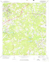
 1944 Edmund1966 Print · USGSLexington County and the southern fringes of Columbia are shown in detail during the final years of World War II. Researchers can locate family landmarks like Saxe Gotha Sch, the Columbia Air Base, and Huckabaas Millpond.
 - 1954 Map of Augusta
 1954 Augusta1954 Print · USGSThe Savannah River valley and South Carolina Midlands are captured here during a period of post-war growth. Researchers can trace the rail-and-river economy through the Southern RR corridor and locate historic settlements like Aiken, Orangeburg, and Sumter.
 - 1957 Map of Augusta, 1966 Print
 1957 Augusta1966 Print · USGSThe Savannah River and Santee basins are captured here during a period of massive military and industrial expansion in the late fifties. Genealogists can trace family footprints across Four Hole Swamp or near the Savannah River Plant.3 unique versions available
 - 1958 Map of Augusta
 1958 Augusta1958 Print · USGSThe borderlands between Georgia and South Carolina come alive in the 1950s, showing the early footprint of the Savannah River Plant. Genealogists and historians can trace rail-dependent towns and rural landmarks from Orangeburg to the Fort Jackson Military Reservation.
 - 1961 Map of Augusta
 1961 Augusta1961 Print · USGSThe South Carolina lowcountry and CSRA appear here in the early sixties, during a period of massive military and industrial growth. Researchers can trace the development of the Savannah River Plant or locate legacy landmarks like Nelson Ferry and Magnolia Cemetery.2 unique versions available
 - 1962 Map of Augusta
 1962 Augusta1962 Print · USGSThe South Carolina and Georgia borderlands are seen here in the early sixties, showing the rise of the Savannah River Plant and the expansion of Fort Jackson. Researchers can trace old rail lines like the Southern Railway and find landmarks such as St. Pauls Church or the Santee Canal.
 - 1972 Map of Lexington, 1974 Print
 1972 Lexington1974 Print · USGSLexington and its surrounding communities are shown during a time of mid-century growth and industrial change. Genealogists and researchers can trace family-named water bodies like Shealy Pond and historic congregations including Nazareth Ch and Bethany Ch.3 unique versions available
 - 1972 Map of Southwest Columbia, 1975 Print
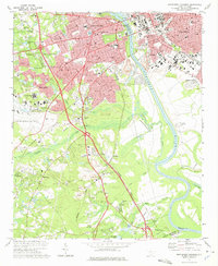 1972 Southwest Columbia1975 Print · USGSGreater Columbia in the early seventies shows a landscape of rapid suburban expansion balanced against the industrial Congaree riverfront. Researchers can trace the mid-century layout of the Columbia Metropolitan Airport, the Columbia Speedway, and local landmarks like Mt Pisgah Ch.2 unique versions available
 - 1983 Map of Aiken, 1984 Print
 1983 Aiken1984 Print · USGSThe Savannah River valley and South Carolina sandhills are shown in detail during the early eighties, as industry and education expanded. Researchers can trace the rail corridors of the Southern and Seaboard Coast Line through communities like Graniteville and Leesville.
 - 1994 Map of Southwest Columbia, 2000 Print
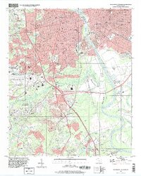 1994 Southwest Columbia2000 Print · USGSThe Congaree River corridor near the state capital was undergoing significant suburban and industrial expansion during the mid-nineties. Local historians can trace the development of Springdale and Pineridge alongside landmarks like the Styx State Fish Hatchery and Olympia Cem.
 - 2011 Map of Southwest Columbia, 2011 Print
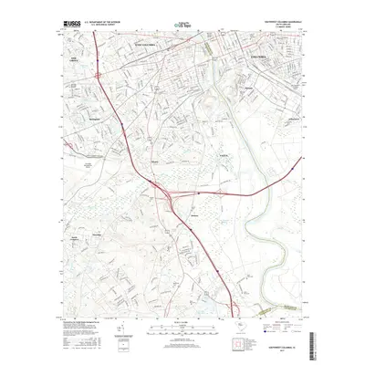
 2011 Southwest Columbia2011 Print · USGSCovers Cayce, including Columbia, West Columbia, and other nearby areas
 - 2011 Map of Lexington, 2011 Print
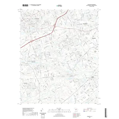
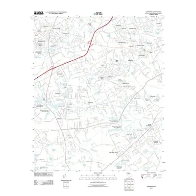 2011 Lexington2011 Print · USGSCovers Cayce, including Lexington, Springdale, and other nearby areas
 - 2014 Map of Lexington, 2014 Print
 2014 Lexington2014 Print · USGSCovers Cayce, including Lexington, Springdale, and other nearby areas
 - 2014 Map of Southwest Columbia, 2014 Print
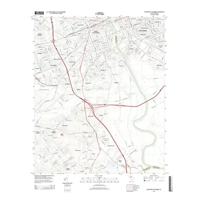 2014 Southwest Columbia2014 Print · USGSCovers Cayce, including Columbia, West Columbia, and other nearby areas
 - 2017 Map of Lexington, 2017 Print
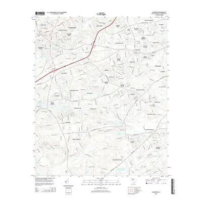
 2017 Lexington2017 Print · USGSCovers Cayce, including Lexington, Springdale, and other nearby areas
 - 2017 Map of Southwest Columbia, 2017 Print
 2017 Southwest Columbia2017 Print · USGSCovers Cayce, including Columbia, West Columbia, and other nearby areas
 - 2020 Map of Lexington, 2020 Print
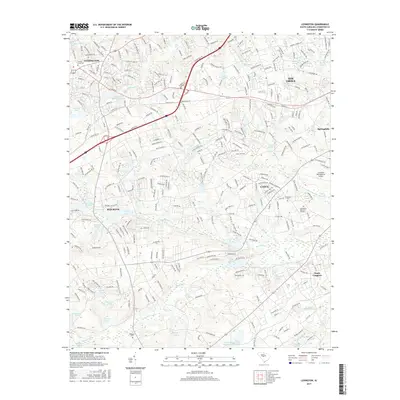
 2020 Lexington2020 Print · USGSCovers Cayce, including Lexington, Springdale, and other nearby areas
 - 2020 Map of Southwest Columbia, 2020 Print
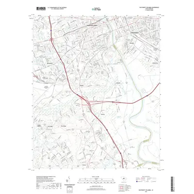 2020 Southwest Columbia2020 Print · USGSCovers Cayce, including Columbia, West Columbia, and other nearby areas
 - 2024 Map of Southwest Columbia, 2024 Print
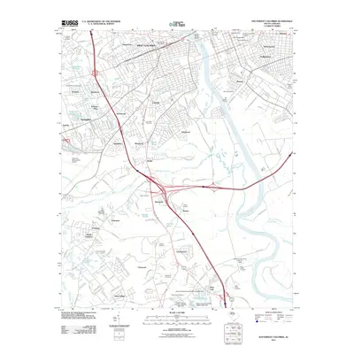
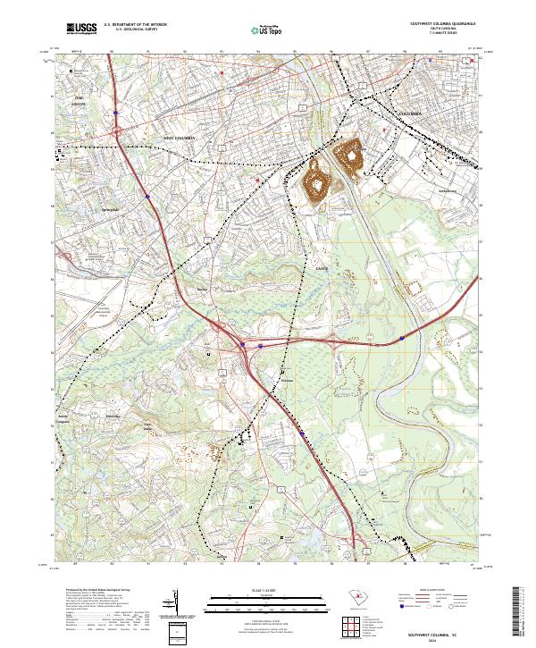 2024 Southwest Columbia2024 Print · USGSGreater Columbia and the western banks of the Congaree River are captured here in a modern era of suburban development and established infrastructure. Researchers can trace family history at the Saint Johns Church Graveyard or explore the transit hub around Kinsler and the Columbia Metropolitan Airport.
 - 2024 Map of Lexington, 2024 Print
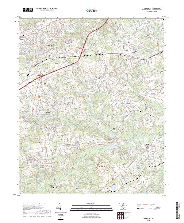 2024 Lexington2024 Print · USGSLexington and its surrounding communities are documented here as they appeared in the early twenty-first century. Genealogists and local historians can trace burial sites like Bethany Church Graveyard and find old landmarks such as Lexington Mill Pond.
End of results
Showing maps 1-20 of 20
Top cities near Cayce
- Columbia historical maps
- Lexington historical maps
- West Columbia historical maps
- Forest Acres historical maps
- Blythewood historical maps
- Springdale historical maps
See more
Top neighborhoods of Cayce
- Edenwood historical maps
- Kinsler historical maps
- Westwood historical maps
- Riverland Park historical maps
- Hunter's Mill historical maps
Frequently asked questions
- What are the different types of historical maps available for Cayce?
- What is the oldest map of Cayce?
- Where can I purchase historical maps of Cayce for my home or office?
- Where can I download high-res historical maps of Cayce?
- Are there historical topographic maps available for Cayce?
- Is there historical aerial imagery available for Cayce?
- Where are historical maps of Cayce sourced from?