Old Maps of Pelion, South Carolina
Explore 27 old maps of Pelion, spanning from 1944 to today. These high-resolution historic maps reveal how streets, neighborhoods, landmarks, and natural features evolved over time — perfect for genealogy, metal detecting, research, and local history exploration.
What you can do with these maps:
- See how Pelion changed over time: Compare historical maps to modern-day views to trace roads, homesites, rail lines & more.
- View detailed metadata: Each map includes creators, publishers, year, scale, and archive source.
- Overlay maps with satellite & LiDAR: Visualize the past alongside modern tools to explore terrain & human change.
- Trusted historical sources: Maps sourced from the USGS, Library of Congress, and other archives.
- Access maps your way: View online, download high-res files, or order prints for personal or research use.
Start exploring old maps of Pelion to uncover forgotten places, hidden landmarks, and the deep history beneath your feet.
Pelion, SC maps
(27)- 1944 Map of Gilbert, 1946 Print
 1944 Gilbert1946 Print · USGSMid-century Lexington County is mapped here as a network of rail-side towns and rural mill seats. Researchers can trace family roots at St Matthews Ch, locate the Saxe-Gotha Millpond, or follow the Southern Railway through Gilbert.2 unique versions available
 - 1944 Map of Edmund, 1966 Print
 1944 Edmund1966 Print · USGSLexington County and the southern fringes of Columbia are shown in detail during the final years of World War II. Researchers can locate family landmarks like Saxe Gotha Sch, the Columbia Air Base, and Huckabaas Millpond.
 - 1946 Map of Woodford
 1946 Woodford1946 Print · USGSThe mid-century rural landscape of Orangeburg and Lexington Counties is captured here as the Edisto River basin supported a network of small mill towns. Genealogists can trace family connections to numerous local landmarks like Kings Grove Ch, Darian Sch, and Pooles Millpond.3 unique versions available
 - 1954 Map of Augusta
 1954 Augusta1954 Print · USGSThe Savannah River valley and South Carolina Midlands are captured here during a period of post-war growth. Researchers can trace the rail-and-river economy through the Southern RR corridor and locate historic settlements like Aiken, Orangeburg, and Sumter.
 - 1957 Map of Augusta, 1966 Print
 1957 Augusta1966 Print · USGSThe Savannah River and Santee basins are captured here during a period of massive military and industrial expansion in the late fifties. Genealogists can trace family footprints across Four Hole Swamp or near the Savannah River Plant.3 unique versions available
 - 1958 Map of Augusta
 1958 Augusta1958 Print · USGSThe borderlands between Georgia and South Carolina come alive in the 1950s, showing the early footprint of the Savannah River Plant. Genealogists and historians can trace rail-dependent towns and rural landmarks from Orangeburg to the Fort Jackson Military Reservation.
 - 1961 Map of Augusta
 1961 Augusta1961 Print · USGSThe South Carolina lowcountry and CSRA appear here in the early sixties, during a period of massive military and industrial growth. Researchers can trace the development of the Savannah River Plant or locate legacy landmarks like Nelson Ferry and Magnolia Cemetery.2 unique versions available
 - 1962 Map of Augusta
 1962 Augusta1962 Print · USGSThe South Carolina and Georgia borderlands are seen here in the early sixties, showing the rise of the Savannah River Plant and the expansion of Fort Jackson. Researchers can trace old rail lines like the Southern Railway and find landmarks such as St. Pauls Church or the Santee Canal.
 - 1972 Map of Pelion East, 1974 Print
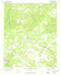 1972 Pelion East1974 Print · USGSLexington County's rural communities and rail-side settlements are captured here in the early 1970s. Researchers can trace the legacy of small towns like Edmund and Pelion alongside local landmarks such as Mt Hebron Ch and the Drag Strip.3 unique versions available
 - 1983 Map of Aiken, 1984 Print
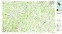 1983 Aiken1984 Print · USGSThe Savannah River valley and South Carolina sandhills are shown in detail during the early eighties, as industry and education expanded. Researchers can trace the rail corridors of the Southern and Seaboard Coast Line through communities like Graniteville and Leesville.
 - 1986 Map of Pond Branch
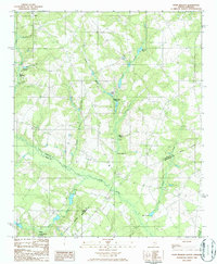 1986 Pond Branch1986 Print · USGSIn the mid-1980s, the rural borderlands of Lexington and Aiken counties remained a landscape of historic water-powered mills and meandering creeks. Researchers can trace the heritage of local industry at Jeffcoats Millpond, Pooles Millpond, and Kings Pond along the North Fork Edisto River.
 - 1986 Map of Pelion West
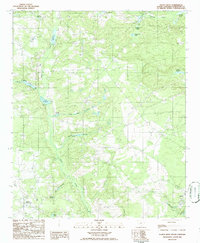 1986 Pelion West1986 Print · USGSLexington County's rural landscape is captured here in the mid-eighties, showing a region defined by family ponds and crossroad communities. Local historians can trace old mill sites like Paxton Millpond and Lucas Millpond, or locate family burial grounds near Fairview Crossroads.
 - 2011 Map of Pelion West, 2011 Print
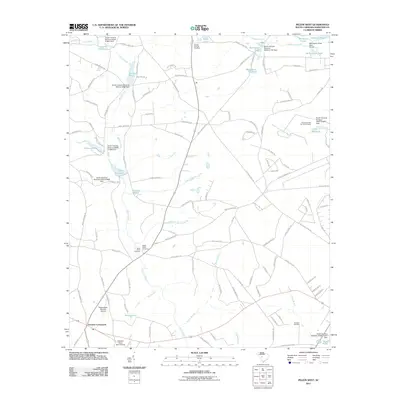 2011 Pelion West2011 Print · USGSLexington County’s rural landscape is mapped here in the early twenty-first century, showing a region defined by family millponds and historic crossroads. Researchers can trace local heritage at Saint Johns Cemetery or locate the Eagles Nest-Fairview Airpark near Fairview Crossroads.
 - 2011 Map of Pelion East, 2011 Print
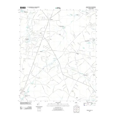 2011 Pelion East2011 Print · USGSLexington County's rural landscape comes into focus during this early twenty-first-century survey of the Pelion and Edmund areas. Genealogists can trace family footprints through the Bachman Cemetery, Antioch Church, and the distinctive Reichter-Richter Cemetery.
 - 2011 Map of Pond Branch, 2011 Print
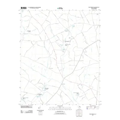 2011 Pond Branch2011 Print · USGSSettlement and family lands in rural Lexington County are preserved here during the early 2000s. Genealogists and local historians can trace legacy sites like Hooker Cemetery, Jeffcoat Bridge, and the waters of Pooles Upper Millpond.
 - 2014 Map of Pelion West, 2014 Print
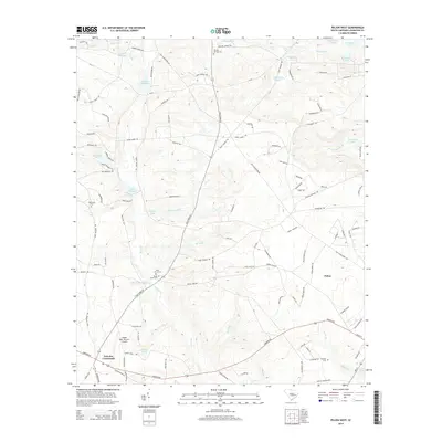 2014 Pelion West2014 Print · USGSThe rural expanses of Lexington County are captured here in the early twenty-first century, showing a landscape shaped by creek-fed millponds and family crossroads. Genealogists can trace local roots through Saint Johns Cemetery, Oak Grove Cemetery, and legacy sites like Huffman-Burns Millpond.
 - 2014 Map of Pelion East, 2014 Print
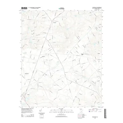 2014 Pelion East2014 Print · USGSLexington County's rural landscape is shown here in the years following the turn of the millennium. Researchers can trace the layout of Pelion and Gaston, or locate family sites like Antioch Cem and the Lexington County Airport at Pelion.
 - 2014 Map of Pond Branch, 2014 Print
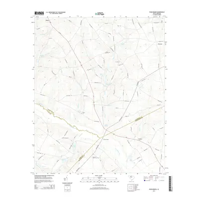 2014 Pond Branch2014 Print · USGSLexington County and the surrounding forks of the Edisto River are captured here in the early 2000s. Researchers can trace family history through sites like Hooker Cem or explore the milling heritage at Pooles Millpond and Jeffcoats Millpond.
 - 2017 Map of Pond Branch, 2017 Print
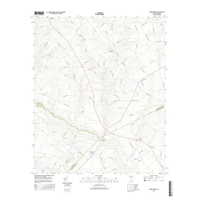 2017 Pond Branch2017 Print · USGSThe riverfront where Lexington, Aiken, and Orangeburg counties meet was a landscape of small millponds and family farmsteads in the late 2010s. Genealogists can trace local lineages through several burial sites including Neese Cem, Hooker Cem, and the Salem Baptist Church Cem.
 - 2017 Map of Pelion West, 2017 Print
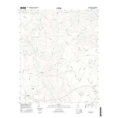 2017 Pelion West2017 Print · USGSThe western edges of Pelion and Fairview Crossroads appear in the mid-2010s amidst a landscape of historic millponds and family cemeteries. Researchers can trace local lineage at Saint Johns Cem or Scofield Cem and locate legacy water features like Paxton Millpond and Clarks Millpond.
 - 2017 Map of Pelion East, 2017 Print
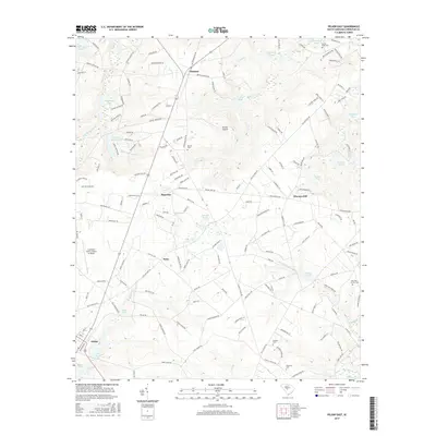 2017 Pelion East2017 Print · USGSThe rural landscape of Lexington County comes into focus in the late 2010s, showing a transition between established settlements and water-rich terrain. Genealogists can locate family landmarks like Bachman Cem, Bethel Cem, and the community hub at Antioch Church.
 - 2020 Map of Pelion East, 2020 Print
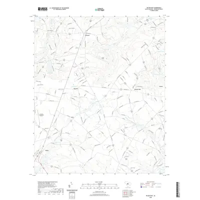 2020 Pelion East2020 Print · USGSLexington County at the start of the 2020s shows a landscape of small settlements and aviation hubs among the creek branches. Researchers can locate burial grounds like Antioch Cem and Bachman Cem or trace rural crossroads at Edmund and Sharpes Hill.
 - 2020 Map of Pond Branch, 2020 Print
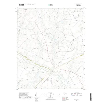 2020 Pond Branch2020 Print · USGSSwansea and Pelion are captured in the Midlands of South Carolina during the early twenty-first century, showing the rural landscape along the Orangeburg county line. Researchers can locate many family sites, including Jeffcoat - Chaney Cem, Hooker Cem, and the crossing at Jeffcoat Bridge.
 - 2020 Map of Pelion West, 2020 Print
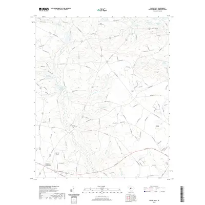 2020 Pelion West2020 Print · USGSThe rural landscapes of Lexington County are captured here in the years following the millennium, showing a region of mills and family homesteads. Researchers can trace ancestral sites at Boiling Springs Cem and local heritage at Clarks Millpond or Fairview Crossroads.
 - 2024 Map of Pelion West, 2024 Print
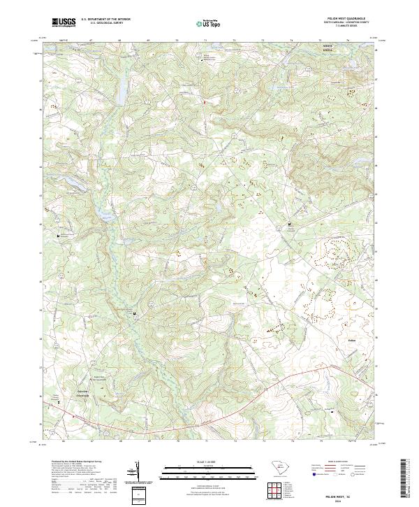 2024 Pelion West2024 Print · USGSThe rural heart of Lexington County is captured here in its modern form, centered on the historic town of Pelion. Family researchers can locate numerous burial sites and landmarks like Boiling Springs United Methodist Cem and Clarks Millpond.
Showing maps 1-25 of 27
Top cities near Pelion
- Columbia historical maps
- Lexington historical maps
- West Columbia historical maps
- Cayce historical maps
- Springdale historical maps
- South Congaree historical maps
See more
Frequently asked questions
- What are the different types of historical maps available for Pelion?
- What is the oldest map of Pelion?
- Where can I purchase historical maps of Pelion for my home or office?
- Where can I download high-res historical maps of Pelion?
- Are there historical topographic maps available for Pelion?
- Is there historical aerial imagery available for Pelion?
- Where are historical maps of Pelion sourced from?