Old Maps of Livingston, South Carolina
Explore 19 old maps of Livingston, spanning from 1946 to today. These high-resolution historic maps reveal how streets, neighborhoods, landmarks, and natural features evolved over time — perfect for genealogy, metal detecting, research, and local history exploration.
What you can do with these maps:
- See how Livingston changed over time: Compare historical maps to modern-day views to trace roads, homesites, rail lines & more.
- View detailed metadata: Each map includes creators, publishers, year, scale, and archive source.
- Overlay maps with satellite & LiDAR: Visualize the past alongside modern tools to explore terrain & human change.
- Trusted historical sources: Maps sourced from the USGS, Library of Congress, and other archives.
- Access maps your way: View online, download high-res files, or order prints for personal or research use.
Start exploring old maps of Livingston to uncover forgotten places, hidden landmarks, and the deep history beneath your feet.
Livingston, SC maps
(19)- 1946 Map of Woodford
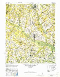 1946 Woodford1946 Print · USGSThe mid-century rural landscape of Orangeburg and Lexington Counties is captured here as the Edisto River basin supported a network of small mill towns. Genealogists can trace family connections to numerous local landmarks like Kings Grove Ch, Darian Sch, and Pooles Millpond.3 unique versions available
 - 1954 Map of Augusta
 1954 Augusta1954 Print · USGSThe Savannah River valley and South Carolina Midlands are captured here during a period of post-war growth. Researchers can trace the rail-and-river economy through the Southern RR corridor and locate historic settlements like Aiken, Orangeburg, and Sumter.
 - 1957 Map of Augusta, 1966 Print
 1957 Augusta1966 Print · USGSThe Savannah River and Santee basins are captured here during a period of massive military and industrial expansion in the late fifties. Genealogists can trace family footprints across Four Hole Swamp or near the Savannah River Plant.3 unique versions available
 - 1958 Map of Augusta
 1958 Augusta1958 Print · USGSThe borderlands between Georgia and South Carolina come alive in the 1950s, showing the early footprint of the Savannah River Plant. Genealogists and historians can trace rail-dependent towns and rural landmarks from Orangeburg to the Fort Jackson Military Reservation.
 - 1961 Map of Augusta
 1961 Augusta1961 Print · USGSThe South Carolina lowcountry and CSRA appear here in the early sixties, during a period of massive military and industrial growth. Researchers can trace the development of the Savannah River Plant or locate legacy landmarks like Nelson Ferry and Magnolia Cemetery.2 unique versions available
 - 1962 Map of Augusta
 1962 Augusta1962 Print · USGSThe South Carolina and Georgia borderlands are seen here in the early sixties, showing the rise of the Savannah River Plant and the expansion of Fort Jackson. Researchers can trace old rail lines like the Southern Railway and find landmarks such as St. Pauls Church or the Santee Canal.
 - 1983 Map of Aiken, 1984 Print
 1983 Aiken1984 Print · USGSThe Savannah River valley and South Carolina sandhills are shown in detail during the early eighties, as industry and education expanded. Researchers can trace the rail corridors of the Southern and Seaboard Coast Line through communities like Graniteville and Leesville.
 - 1988 Map of North
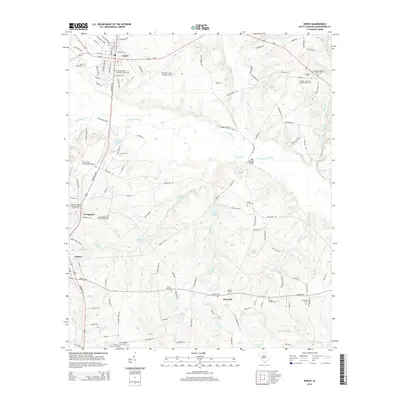
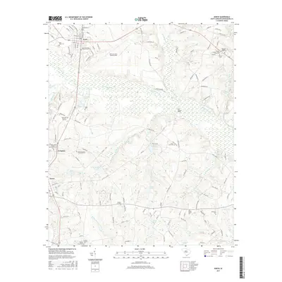
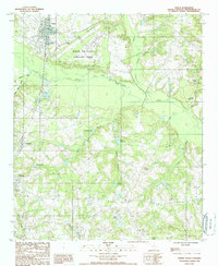 1988 North1988 Print · USGSOrangeburg County's rural heartland is captured here in the late 1980s, centered on the North Fork Edisto River and the town of North. Researchers can trace the layout of Livingston and Neeses or locate family-named sites like Amaker Pond.
 - 1988 Map of Harleys Millpond
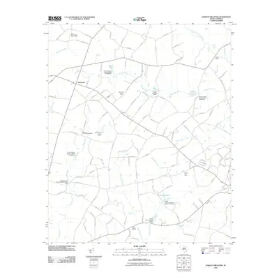
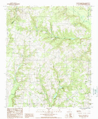 1988 Harleys Millpond1988 Print · USGSOrangeburg and Aiken counties in the late eighties are defined here by a network of rural creek drainages and small-town outposts. Genealogists and local historians can trace family roots through several CEM locations and old water features like Harleys Millpond or Prester Millpond.
 - 2011 Map of North, 2011 Print
 2011 North2011 Print · USGSCovers Livingston, including North, Neeses, and other nearby areas
 - 2011 Map of Harleys Millpond, 2011 Print
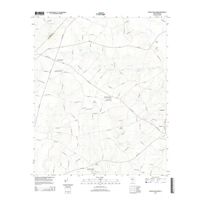
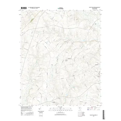
 2011 Harleys Millpond2011 Print · USGSCovers Livingston, including Neeses, Sawyerdale, and other nearby areas
 - 2014 Map of Harleys Millpond, 2014 Print
 2014 Harleys Millpond2014 Print · USGSCovers Livingston, including Neeses, Sawyerdale, and other nearby areas
 - 2014 Map of North, 2014 Print
 2014 North2014 Print · USGSCovers Livingston, including North, Neeses, and other nearby areas
 - 2017 Map of North, 2017 Print
 2017 North2017 Print · USGSCovers Livingston, including North, Neeses, and other nearby areas
 - 2017 Map of Harleys Millpond, 2017 Print
 2017 Harleys Millpond2017 Print · USGSCovers Livingston, including Neeses, Sawyerdale, and other nearby areas
 - 2020 Map of Harleys Millpond, 2020 Print
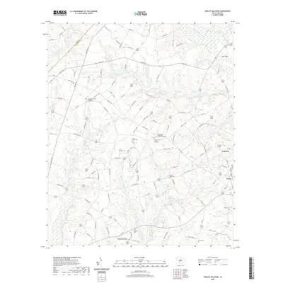 2020 Harleys Millpond2020 Print · USGSCovers Livingston, including Neeses, Sawyerdale, and other nearby areas
 - 2020 Map of North, 2020 Print
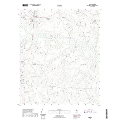 2020 North2020 Print · USGSCovers Livingston, including North, Neeses, and other nearby areas
 - 2024 Map of Harleys Millpond, 2024 Print
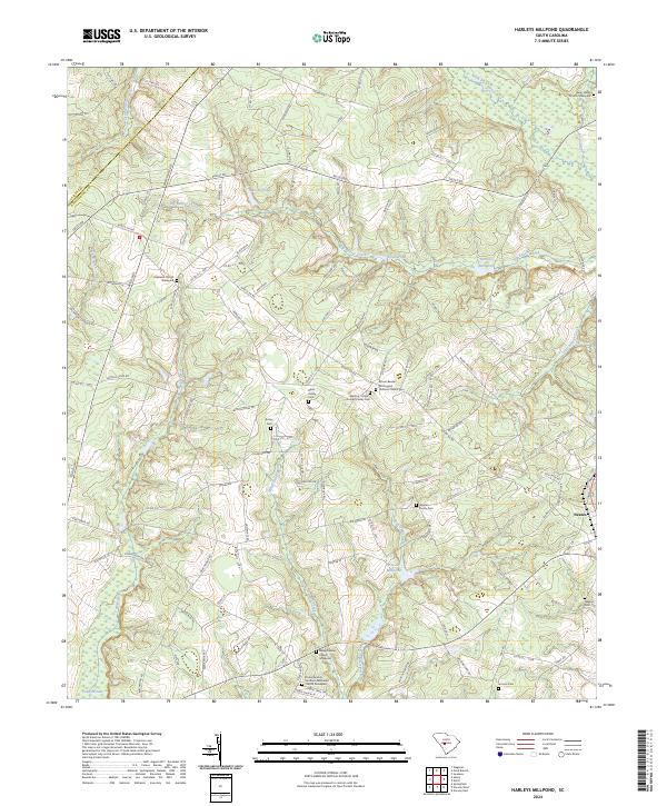 2024 Harleys Millpond2024 Print · USGSThe rural reaches of Orangeburg County appear in recent detail, where the waters of Big Beaver Creek and Rocky Swamp Creek define the local geography. Family history researchers can trace numerous burial sites like the Gleaton Family Cem and the Hopewell Church Graveyard.
 - 2024 Map of North, 2024 Print
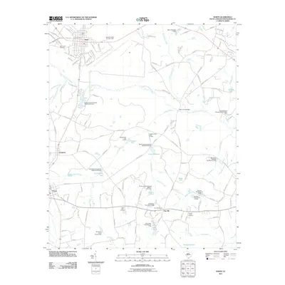
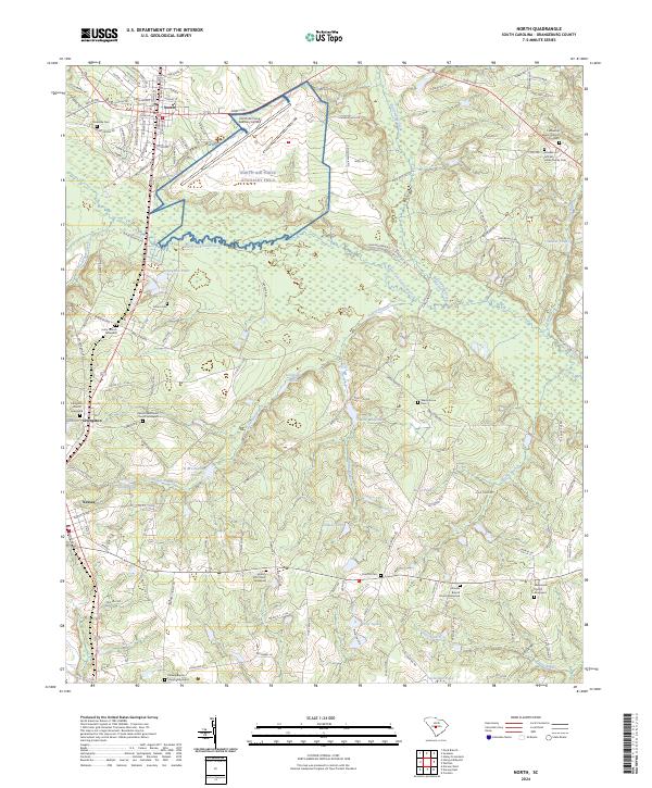 2024 North2024 Print · USGSThe rural landscape around North and Livingston is documented here in the early twenty-first century. Genealogists can trace family heritage at the Amaker Jeffcoat Harley Family Cem and the Unity Church Graveyard.
End of results
Showing maps 1-19 of 19
Top cities near Livingston
- Orangeburg historical maps
- Denmark historical maps
- Blackville historical maps
- Swansea historical maps
- Pelion historical maps
- North historical maps
See more
Frequently asked questions
- What are the different types of historical maps available for Livingston?
- What is the oldest map of Livingston?
- Where can I purchase historical maps of Livingston for my home or office?
- Where can I download high-res historical maps of Livingston?
- Are there historical topographic maps available for Livingston?
- Is there historical aerial imagery available for Livingston?
- Where are historical maps of Livingston sourced from?