
1946 Map of Woodford
USGS Topo · Published 1946About this map
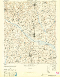
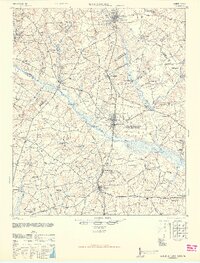
The North Edisto River and its numerous tributaries define this South Carolina landscape, which in the mid-1940s was a patchwork of small agricultural communities and millponds. The area is anchored by the towns of Swansea and North, connected by the Seaboard Railway and a network of rural roads such as Ferry Road and Old Ninety-Six Road. A significant portion of the terrain east of North is dedicated to the U S Military Reservation (North Army Air Base), a prominent wartime feature of the era.
Find a feature on this map
111 named features on this map. Tap any name to fly to it.
Don’t see what you’re looking for? This feature index may not catch every label — zoom into the map to look around manually.
Map Details
Editions of this 1946 Woodford Map
3 editions found
Other maps of this area

1919 · Bamberg
USGS Topo · 1:48,000

1920 · Bamberg
USGS Topo · 1:62,500

1920 · Orangeburg
USGS Topo · 1:48,000

1921 · Orangeburg
USGS Topo · 1:62,500

1923 · Williston
USGS Topo · 1:48,000

1927 · Williston
USGS Topo · 1:62,500

1943 · Bamberg
USGS Topo · 1:62,500

1943 · Orangeburg
USGS Topo · 1:125,000

1943 · Williston
USGS Topo · 1:62,500

1943 · Orangeburg
USGS Topo · 1:62,500