Old Maps of Liberty Hill, South Carolina for Hiking & Exploration
Hike through history with 14 historic maps of Liberty Hill. Explore old trails, ghost towns, and forgotten backroads — perfect for outdoor adventurers and local explorers.
- Rediscover forgotten places: Map out old mining camps, roads, and footpaths that no longer exist on modern maps.
- Layer with modern tools: Combine with LiDAR or satellite views to plan hikes through historical terrain.
- Made for exploration: Popular among hikers, overlanders, and local history lovers.
Use these maps to find adventure and explore the hidden past of Liberty Hill.
Liberty Hill, SC maps
(14)- 1892 Map of Mc Cormick
 1892 Mc Cormick1892 Print · USGSThe Savannah River borderlands in the 1890s reveal a network of historic ferries and early mills connecting Georgia and South Carolina. Genealogists can trace family roots through landmarks like Dunn Chapel, Searle Mill, and the crossings at Barksdale Ferry.5 unique versions available
 - 1912 Map of Mc Cormick, 1913 Print
 1912 Mc Cormick1913 Print · USGSThe Georgia and South Carolina borderlands come alive in the 1890s, centered on the rail junction at Mc Cormick and the Savannah River. Genealogists can trace family footprints across numerous river crossings like Fury Ferry and through rural centers such as Appling and Sharon Church.
 - 1953 Map of Athens, 1966 Print
 1953 Athens1966 Print · USGSGeorgia's Piedmont and Savannah River borderlands come alive in this mid-century survey of the region surrounding Athens and Augusta. Trace the rail-and-river economy through the Georgia RR and landmarks like the Fort Gordon Military Reservation.3 unique versions available
 - 1958 Map of Athens
 1958 Athens1958 Print · USGSNorth-central Georgia and the Savannah River valley are captured in the late fifties, showing the region as the new reservoirs were filling. Researchers can trace historic rail lines like the Georgia RR and locate rural landmarks such as Social Circle, Graves Mountain, and the Fort Gordon Military Reservation.
 - 1959 Map of Athens
 1959 Athens1959 Print · USGSNortheast Georgia and the South Carolina borderlands appear here in the mid-fifties, during a decade of infrastructure growth. Genealogists and historians can trace the rail-and-river geography of towns like Social Circle, the sprawl of Fort Gordon Military Reservation, and the newly formed Clark Hill Reservoir.
 - 1963 Map of Athens
 1963 Athens1963 Print · USGSGeorgia's Piedmont and the Savannah River valley are captured in the early sixties as major reservoirs and military installations reshaped the landscape. Researchers can trace the development of Clark Hill Reservoir, locate the Fort Gordon Military Reservation, and find historic towns like Social Circle and Eatonton.
 - 1965 Map of Winterseat, 1967 Print
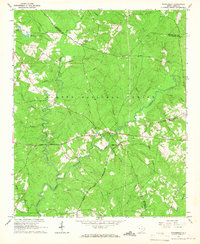 1965 Winterseat1967 Print · USGSMcCormick County and the surrounding timberlands are captured here in the mid-sixties, showing a landscape of small rural settlements and forest management. Researchers can locate family landmarks like Mt Harmony Ch, trace the route of Scotts Ferry Road, and find the Community Hall at Liberty Hill.2 unique versions available
 - 1980 Map of Clark Hill Lake, 1981 Print
 1980 Clark Hill Lake1981 Print · USGSThe Georgia and South Carolina borderlands in the early eighties were defined by the expansive Clark Hill Lake and the winding Savannah River. Genealogists and historians can trace rail lines like the Georgia Railroad, find the De La Howe State School, and locate rural centers like Tignall and Appling.
 - 1988 Map of Athens
 1988 Athens1988 Print · USGSThe Georgia Piedmont and South Carolina borderlands appear in the late eighties as a landscape of vast reservoirs and growing towns. Researchers can trace the legacy of the Georgia RR connecting Athens and Augusta, or locate landmarks within Oconee National Forest.
 - 2011 Map of Winterseat, 2011 Print
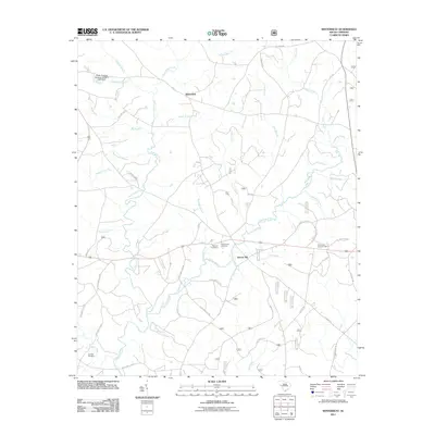 2011 Winterseat2011 Print · USGSMcCormick County's rural landscape is documented here in the early twenty-first century as a network of creeks and small settlements. Researchers can locate family roots at Bethany Cemetery or trace the drainage of Hard Labor Creek near Winterseat.
 - 2014 Map of Winterseat, 2014 Print
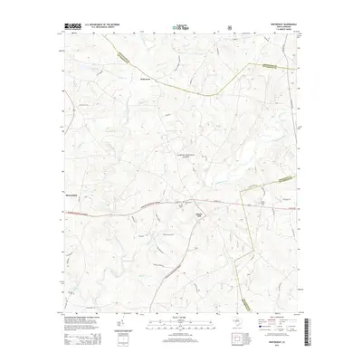 2014 Winterseat2014 Print · USGSMcCormick County and its neighbors are seen here in the early twenty-first century, showing the intersection of timberlands and rural communities. Researchers can locate family burial sites like Old Bethany Cem and landmarks such as the Liberty Hill Lookout Tower.
 - 2017 Map of Winterseat, 2017 Print
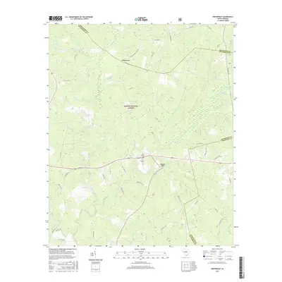 2017 Winterseat2017 Print · USGSMcCormick County and the surrounding forest lands are documented here in the late twenty-teens. Genealogists and local historians can trace family locations near Liberty Hill, Old Bethany Cem, and the waters of Hard Labor Creek.
 - 2020 Map of Winterseat, 2020 Print
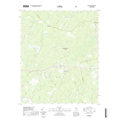 2020 Winterseat2020 Print · USGSMcCormick and Greenwood Counties are shown at the turn of the decade, revealing a landscape defined by the deep woods of the South Carolina Piedmont. Researchers can trace rural lineages at Old Bethany Cem or follow the paths of Five Notch Rd and Hard Labor Creek.
 - 2024 Map of Winterseat, 2024 Print
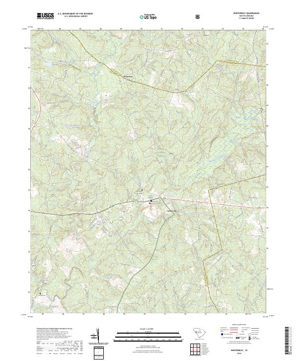 2024 Winterseat2024 Print · USGSThe McCormick and Greenwood county borders meet in this 2024 survey of the South Carolina Piedmont, where forest land and family history intersect. Genealogists can trace local roots at Zion Chapel Graveyard and First Bethany Baptist Church Cem.
End of results
Showing maps 1-14 of 14
Top cities near Liberty Hill
- Edgefield historical maps
- McCormick historical maps
- Parksville historical maps
- Troy historical maps
- Plum Branch historical maps
Frequently asked questions
- What are the different types of historical maps available for Liberty Hill?
- What is the oldest map of Liberty Hill?
- Where can I purchase historical maps of Liberty Hill for my home or office?
- Where can I download high-res historical maps of Liberty Hill?
- Are there historical topographic maps available for Liberty Hill?
- Is there historical aerial imagery available for Liberty Hill?
- Where are historical maps of Liberty Hill sourced from?