2000s (21st Century) Maps of Walhalla, South Carolina
Explore 10 historic maps of Walhalla from the 2000s (21st Century). These maps offer a rare glimpse into what life looked like during the 2000s — showing old roads, neighborhoods, homes, and landmarks that have changed or disappeared over time.
Whether you're researching your family's past, planning a metal detecting trip, or studying how Walhalla's landscape evolved across the 2000s, these high-resolution maps are a powerful tool for exploring the history of this region.
- Focus on a specific era: All maps on this page are from the 2000s, giving you a focused view of this time period.
- See what’s changed: Compare century-old streets, trails, and buildings to today's modern landscape using overlays and satellite layers.
- Research with precision: Use these maps for genealogy, historical research, land use analysis, or educational projects.
- View, download, or print: Maps are fully viewable online in high resolution, and can be downloaded or printed for your own records.
Start exploring Walhalla's history through authentic maps from the 2000s. This is your window into the past.
Walhalla, SC maps
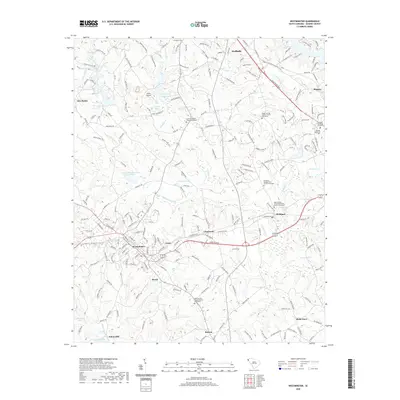
(10)- 2011 Map of Westminster, 2011 Print
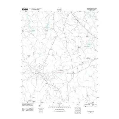 2011 Westminster2011 Print · USGSCovers Walhalla, including Westminster, Ridgeland Estates, and other nearby areas
 - 2011 Map of Walhalla, 2011 Print
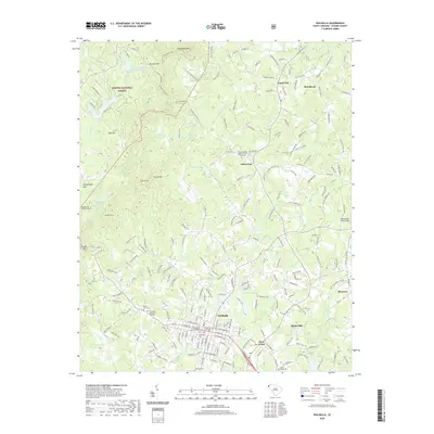
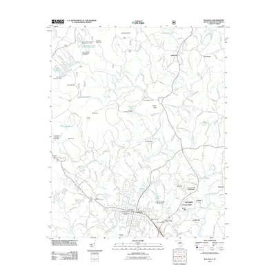 2011 Walhalla2011 Print · USGSCovers Walhalla, including West Union, Eastcliff, and other nearby areas
 - 2014 Map of Westminster, 2014 Print
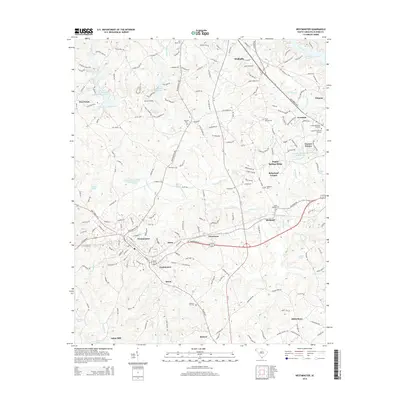 2014 Westminster2014 Print · USGSCovers Walhalla, including Westminster, Ridgeland Estates, and other nearby areas
 - 2014 Map of Walhalla, 2014 Print
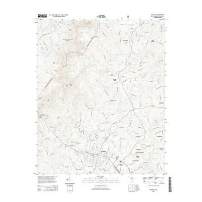 2014 Walhalla2014 Print · USGSCovers Walhalla, including West Union, Eastcliff, and other nearby areas
 - 2017 Map of Walhalla, 2017 Print
 2017 Walhalla2017 Print · USGSCovers Walhalla, including West Union, Eastcliff, and other nearby areas
 - 2017 Map of Westminster, 2017 Print
 2017 Westminster2017 Print · USGSCovers Walhalla, including Westminster, Ridgeland Estates, and other nearby areas
 - 2020 Map of Westminster, 2020 Print
 2020 Westminster2020 Print · USGSCovers Walhalla, including Westminster, Ridgeland Estates, and other nearby areas
 - 2020 Map of Walhalla, 2020 Print
 2020 Walhalla2020 Print · USGSCovers Walhalla, including West Union, Eastcliff, and other nearby areas
 - 2024 Map of Westminster, 2024 Print
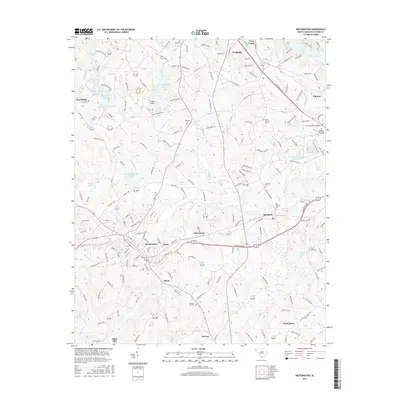
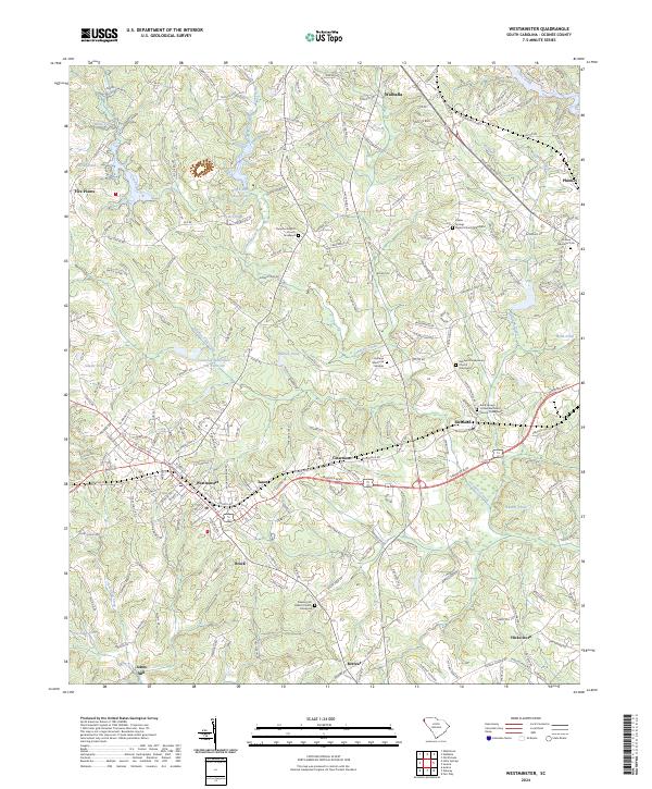 2024 Westminster2024 Print · USGSWestminster and the surrounding Oconee County countryside are shown here in modern detail, preserving the locations of many century-old community anchors. Researchers can pinpoint numerous family-history sites, from Johns Mill to the Rock Springs United Methodist Church Graveyard.
 - 2024 Map of Walhalla, 2024 Print
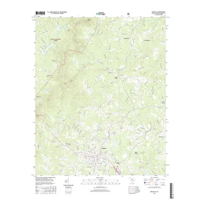
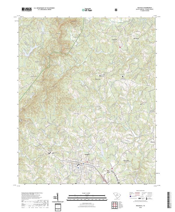 2024 Walhalla2024 Print · USGSWalhalla and its surrounding foothills appear here in the early twenty-first century, showing the intersection of mountain terrain and civic development. Researchers can trace family sites at Westview Cemetery and Bethel Presbyterian Church, or locate landmarks like Stumphouse Mtn and Burns Mill.
End of results
Showing maps 1-10 of 10
Top cities near Walhalla
- Clemson historical maps
- Toccoa historical maps
- Seneca historical maps
- Westminster historical maps
- West Union historical maps
- Salem historical maps
Top neighborhoods of Walhalla
Frequently asked questions
- What are the different types of historical maps available for Walhalla?
- What is the oldest map of Walhalla?
- Where can I purchase historical maps of Walhalla for my home or office?
- Where can I download high-res historical maps of Walhalla?
- Are there historical topographic maps available for Walhalla?
- Is there historical aerial imagery available for Walhalla?
- Where are historical maps of Walhalla sourced from?