Old Maps of Walhalla, South Carolina for Metal Detecting
Plan your next treasure hunt with 18 historic maps of Walhalla. Find old homesites, ghost towns, trails, and gathering spots that may be lost to time — perfect for identifying promising metal detecting locations.
- Locate forgotten sites: Uncover places like long-lost settlements, abandoned rail lines, or gathering spots.
- Plan better hunts: Use map overlays combined with LiDAR or satellite views to narrow in on historically rich areas.
- Made for detectorists: Thousands of hobbyists use these maps to discover relics, coins, and hidden history.
Use these historic maps to boost your research and find new opportunities beneath the surface of Walhalla.
Walhalla, SC maps
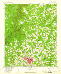
(18)- 1886 Map of Walhalla
 1886 Walhalla1886 Print · USGSThe foothills of the Blue Ridge come alive in this late nineteenth-century survey of the Georgia and South Carolina borderlands. Genealogists and historians can trace the early rail networks through Walhalla and Toccoa, or locate family landmarks like Batchelor's Retreat and Mosley's Mill.
 - 1892 Map of Walhalla
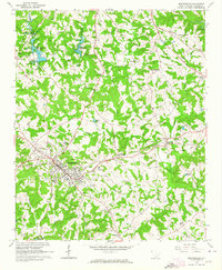
 1892 Walhalla1892 Print · USGSThe tri-state border region of Georgia and the Carolinas comes alive in this late nineteenth-century survey. Genealogists and historians can trace family-named landmarks like Young Davis's or locate river crossings like Jenkins's Ferry and the Bachelors Retreat P.O.7 unique versions available
 - 1896 Map of Walhalla
 1896 Walhalla1896 Print · USGSThe tri-state mountain country comes alive in this late 1800s survey of the Oconee and Habersham borderlands. Researchers can trace early river commerce and transit through Ramsey Ferry, the tracks of the Blue Ridge Railroad, and the industrial site of Mosley Mill.
 - 1954 Map of Greenville, 1965 Print
 1954 Greenville1965 Print · USGSThe Upstate and Northeast Georgia are captured here during a decade of massive transformation as new reservoirs reshaped the Piedmont. Genealogists and hikers can trace the Appalachian Trail over Brasstown Bald or locate old community centers like Demorest, Westminster, and Royston.3 unique versions available
 - 1958 Map of Greenville
 1958 Greenville1958 Print · USGSThe Piedmont and Blue Ridge foothills come alive in this mid-century survey of the Upstate and Northeast Georgia. Trace the regional rail-and-river economy through the Southern Railway corridors and early reservoir developments like Lake Sidney Lanier.
 - 1959 Map of Walhalla, 1960 Print
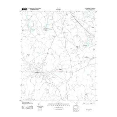
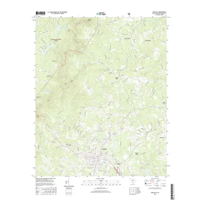
 1959 Walhalla1960 Print · USGSThe foothills of Oconee County come alive in the late fifties, showing the growth of Walhalla and the rugged peaks of the Blue Ridge. Researchers can trace the legendary Stumphouse Mtn Tunnel and local landmarks like Oconee Station.5 unique versions available
 - 1963 Map of Westminster, 1964 Print
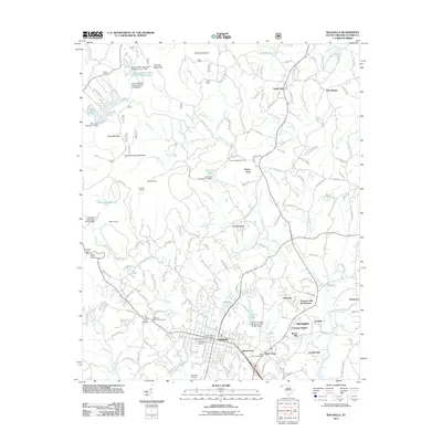
 1963 Westminster1964 Print · USGSWestminster and the rural Oconee County hills are captured here in the early sixties as the rail-and-river economy persists. Genealogists can locate family landmarks like Johns Mill Pond, Pleasant Hill Ch, and the community of Richland.2 unique versions available
 - 1981 Map of Toccoa, 1982 Print
 1981 Toccoa1982 Print · USGSThe tri-state mountain region where Georgia meets the Carolinas is shown here in the early eighties. Genealogists and historians can trace family-named locations and settlements from Dahlonega to Tallulah Falls, along with the Southern rail corridor.2 unique versions available
 - 2011 Map of Westminster, 2011 Print
 2011 Westminster2011 Print · USGSCovers Walhalla, including Westminster, Ridgeland Estates, and other nearby areas
 - 2011 Map of Walhalla, 2011 Print
 2011 Walhalla2011 Print · USGSCovers Walhalla, including West Union, Eastcliff, and other nearby areas
 - 2014 Map of Westminster, 2014 Print
 2014 Westminster2014 Print · USGSCovers Walhalla, including Westminster, Ridgeland Estates, and other nearby areas
 - 2014 Map of Walhalla, 2014 Print
 2014 Walhalla2014 Print · USGSCovers Walhalla, including West Union, Eastcliff, and other nearby areas
 - 2017 Map of Walhalla, 2017 Print
 2017 Walhalla2017 Print · USGSCovers Walhalla, including West Union, Eastcliff, and other nearby areas
 - 2017 Map of Westminster, 2017 Print
 2017 Westminster2017 Print · USGSCovers Walhalla, including Westminster, Ridgeland Estates, and other nearby areas
 - 2020 Map of Westminster, 2020 Print
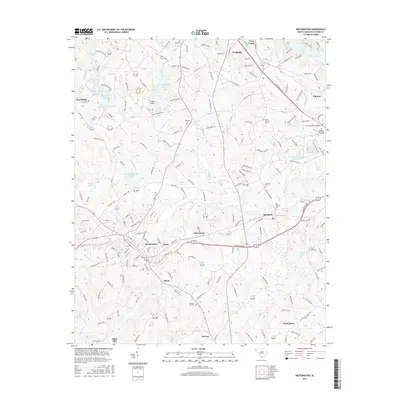
 2020 Westminster2020 Print · USGSCovers Walhalla, including Westminster, Ridgeland Estates, and other nearby areas
 - 2020 Map of Walhalla, 2020 Print
 2020 Walhalla2020 Print · USGSCovers Walhalla, including West Union, Eastcliff, and other nearby areas
 - 2024 Map of Westminster, 2024 Print
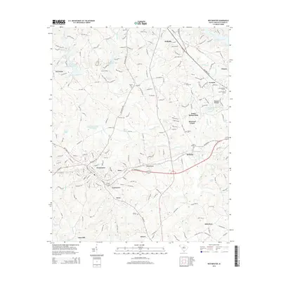
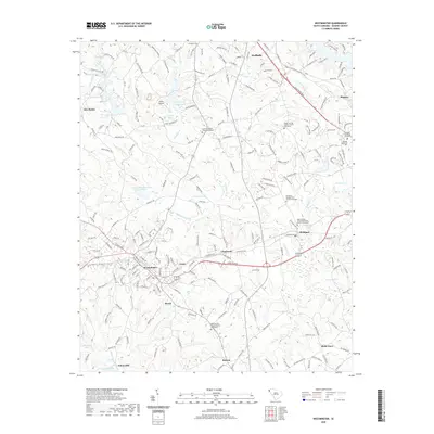
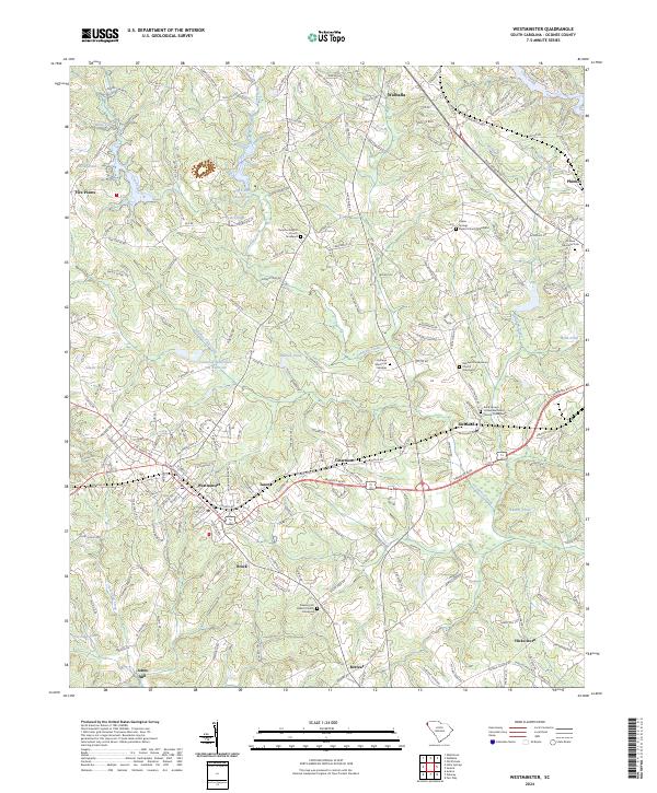 2024 Westminster2024 Print · USGSWestminster and the surrounding Oconee County countryside are shown here in modern detail, preserving the locations of many century-old community anchors. Researchers can pinpoint numerous family-history sites, from Johns Mill to the Rock Springs United Methodist Church Graveyard.
 - 2024 Map of Walhalla, 2024 Print
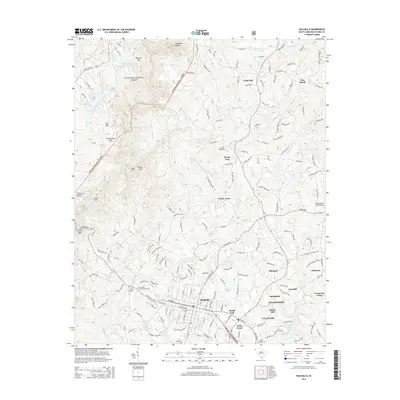
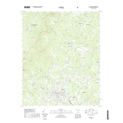
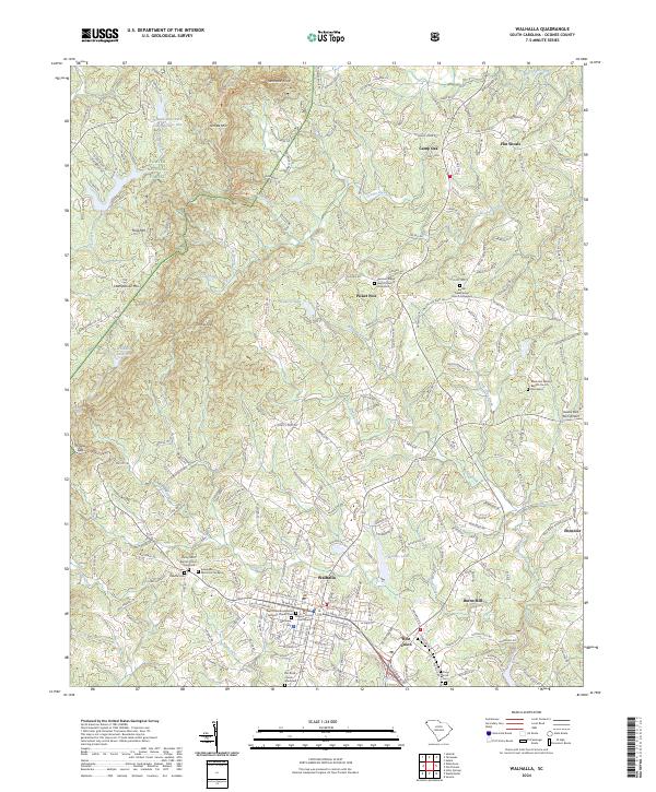 2024 Walhalla2024 Print · USGSWalhalla and its surrounding foothills appear here in the early twenty-first century, showing the intersection of mountain terrain and civic development. Researchers can trace family sites at Westview Cemetery and Bethel Presbyterian Church, or locate landmarks like Stumphouse Mtn and Burns Mill.
End of results
Showing maps 1-18 of 18
Top cities near Walhalla
- Clemson historical maps
- Toccoa historical maps
- Seneca historical maps
- Westminster historical maps
- West Union historical maps
- Salem historical maps
Top neighborhoods of Walhalla
Frequently asked questions
- What are the different types of historical maps available for Walhalla?
- What is the oldest map of Walhalla?
- Where can I purchase historical maps of Walhalla for my home or office?
- Where can I download high-res historical maps of Walhalla?
- Are there historical topographic maps available for Walhalla?
- Is there historical aerial imagery available for Walhalla?
- Where are historical maps of Walhalla sourced from?