2000s (21st Century) Maps of Orangeburg, South Carolina
Explore 20 historic maps of Orangeburg from the 2000s (21st Century). These maps offer a rare glimpse into what life looked like during the 2000s — showing old roads, neighborhoods, homes, and landmarks that have changed or disappeared over time.
Whether you're researching your family's past, planning a metal detecting trip, or studying how Orangeburg's landscape evolved across the 2000s, these high-resolution maps are a powerful tool for exploring the history of this region.
- Focus on a specific era: All maps on this page are from the 2000s, giving you a focused view of this time period.
- See what’s changed: Compare century-old streets, trails, and buildings to today's modern landscape using overlays and satellite layers.
- Research with precision: Use these maps for genealogy, historical research, land use analysis, or educational projects.
- View, download, or print: Maps are fully viewable online in high resolution, and can be downloaded or printed for your own records.
Start exploring Orangeburg's history through authentic maps from the 2000s. This is your window into the past.
Orangeburg, SC maps
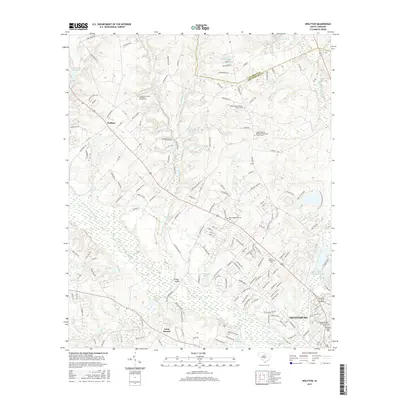
(20)- 2011 Map of Wolfton, 2011 Print
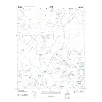 2011 Wolfton2011 Print · USGSCovers Orangeburg, including Forest Lake Estates, Gerwil Acres, and other nearby areas
 - 2011 Map of Cordova, 2011 Print
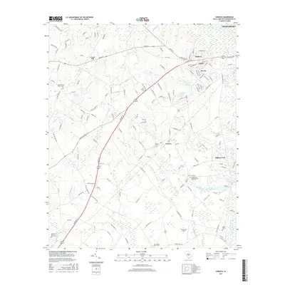
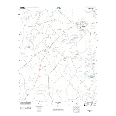 2011 Cordova2011 Print · USGSCovers Orangeburg, including Cordova, Rivelon, and other nearby areas
 - 2011 Map of Orangeburg North, 2011 Print
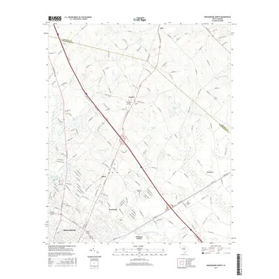
 2011 Orangeburg North2011 Print · USGSCovers Orangeburg, including Mackay Subdivision, Rickenbaker Subdivision, and other nearby areas
 - 2011 Map of Orangeburg South, 2011 Print
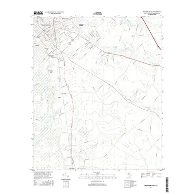
 2011 Orangeburg South2011 Print · USGSCovers Orangeburg, including Rowesville, Magnolia Reserve, and other nearby areas
 - 2014 Map of Orangeburg South, 2014 Print
 2014 Orangeburg South2014 Print · USGSCovers Orangeburg, including Rowesville, Magnolia Reserve, and other nearby areas
 - 2014 Map of Orangeburg North, 2014 Print
 2014 Orangeburg North2014 Print · USGSCovers Orangeburg, including Mackay Subdivision, Rickenbaker Subdivision, and other nearby areas
 - 2014 Map of Cordova, 2014 Print
 2014 Cordova2014 Print · USGSCovers Orangeburg, including Cordova, Rivelon, and other nearby areas
 - 2014 Map of Wolfton, 2014 Print
 2014 Wolfton2014 Print · USGSCovers Orangeburg, including Forest Lake Estates, Gerwil Acres, and other nearby areas
 - 2017 Map of Cordova, 2017 Print
 2017 Cordova2017 Print · USGSCovers Orangeburg, including Cordova, Rivelon, and other nearby areas
 - 2017 Map of Orangeburg South, 2017 Print
 2017 Orangeburg South2017 Print · USGSCovers Orangeburg, including Rowesville, Magnolia Reserve, and other nearby areas
 - 2017 Map of Orangeburg North, 2017 Print
 2017 Orangeburg North2017 Print · USGSCovers Orangeburg, including Mackay Subdivision, Rickenbaker Subdivision, and other nearby areas
 - 2017 Map of Wolfton, 2017 Print
 2017 Wolfton2017 Print · USGSCovers Orangeburg, including Forest Lake Estates, Gerwil Acres, and other nearby areas
 - 2020 Map of Orangeburg South, 2020 Print
 2020 Orangeburg South2020 Print · USGSCovers Orangeburg, including Rowesville, Magnolia Reserve, and other nearby areas
 - 2020 Map of Wolfton, 2020 Print
 2020 Wolfton2020 Print · USGSCovers Orangeburg, including Forest Lake Estates, Gerwil Acres, and other nearby areas
 - 2020 Map of Orangeburg North, 2020 Print
 2020 Orangeburg North2020 Print · USGSCovers Orangeburg, including Mackay Subdivision, Rickenbaker Subdivision, and other nearby areas
 - 2020 Map of Cordova, 2020 Print
 2020 Cordova2020 Print · USGSCovers Orangeburg, including Cordova, Rivelon, and other nearby areas
 - 2024 Map of Wolfton, 2024 Print
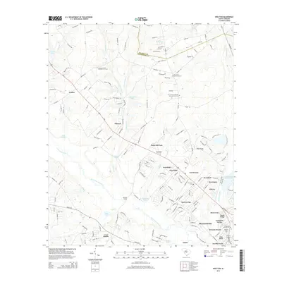
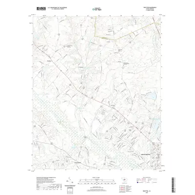
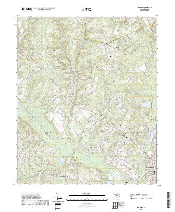 2024 Wolfton2024 Print · USGSOrangeburg County in the modern era reveals a landscape defined by the winding North Fork Edisto River and its rural settlements. Genealogists can trace family names through several local landmarks, including the Mount Calvary Church Graveyard and Saint Stephen Church Graveyard.
 - 2024 Map of Orangeburg North, 2024 Print
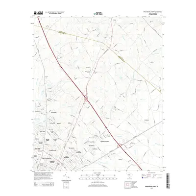
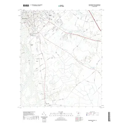
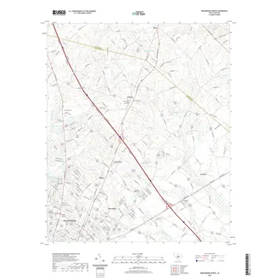
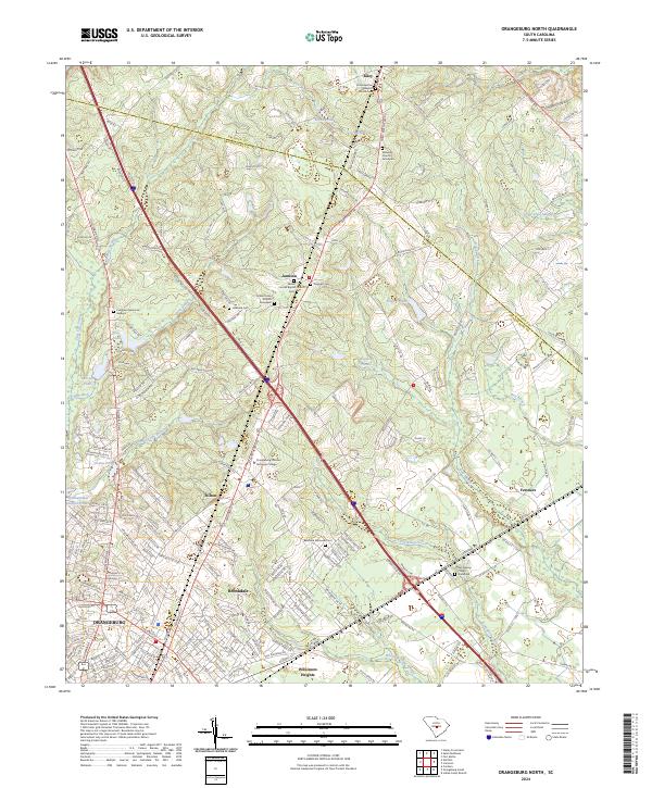 2024 Orangeburg North2024 Print · USGSThe northern reaches of Orangeburg and the edge of Calhoun County appear here in the early twenty-first century. Researchers can locate community landmarks such as Mount Sinai Church, the Prospect Cem, and the rural crossroads of Jamison.
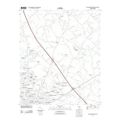
 - 2024 Map of Cordova, 2024 Print
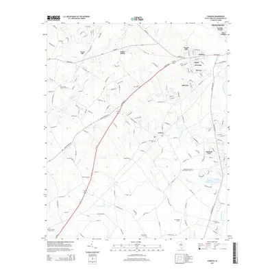
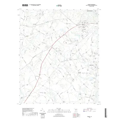
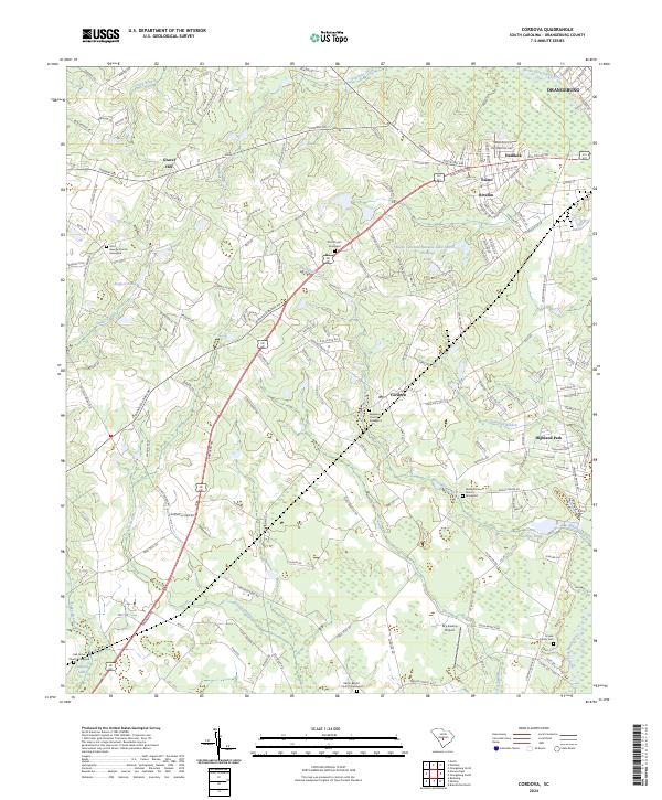 2024 Cordova2024 Print · USGSOrangeburg County's rural landscape comes into focus in this contemporary survey, showing the intricate wetlands surrounding the North Fork Edisto River. Researchers can locate legacy family sites and community landmarks including the Smoak Family Cem and the Orangeburg County National Fish Hatchery.
 - 2024 Map of Orangeburg South, 2024 Print
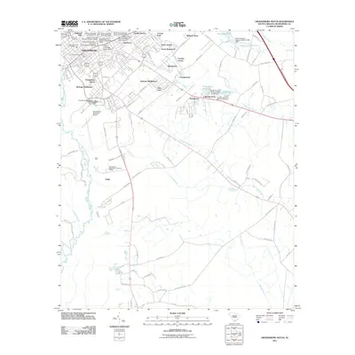
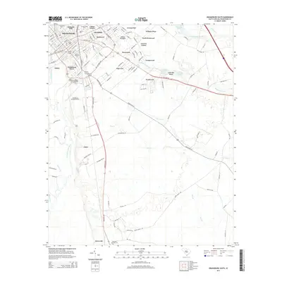
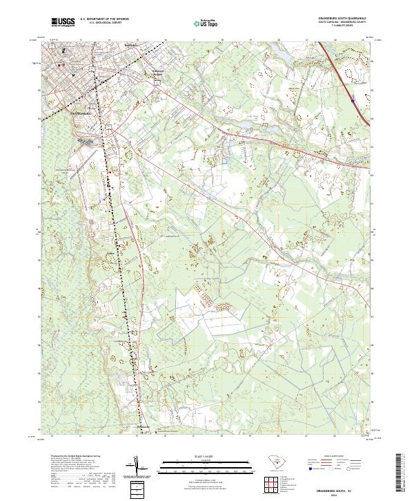 2024 Orangeburg South2024 Print · USGSOrangeburg and its southern surroundings are captured in this recent survey, showcasing the area's dual character as a university hub and a riverine landscape. Genealogists can trace family roots through several dedicated sites like Sunnyside Cem, Hebrew Cem, and the Hope Methodist Graveyard.
End of results
Showing maps 1-20 of 20
Top cities near Orangeburg
- Bamberg historical maps
- Saint Matthews historical maps
- Bowman historical maps
- Branchville historical maps
- Swansea historical maps
- Cameron historical maps
See more
Top neighborhoods of Orangeburg
- Pine Needles historical maps
- Sheridan Estates historical maps
- Club Acres historical maps
- Dixie Circle historical maps
- Gressette Woods historical maps
- Hallmark Hills historical maps
See more
Frequently asked questions
- What are the different types of historical maps available for Orangeburg?
- What is the oldest map of Orangeburg?
- Where can I purchase historical maps of Orangeburg for my home or office?
- Where can I download high-res historical maps of Orangeburg?
- Are there historical topographic maps available for Orangeburg?
- Is there historical aerial imagery available for Orangeburg?
- Where are historical maps of Orangeburg sourced from?