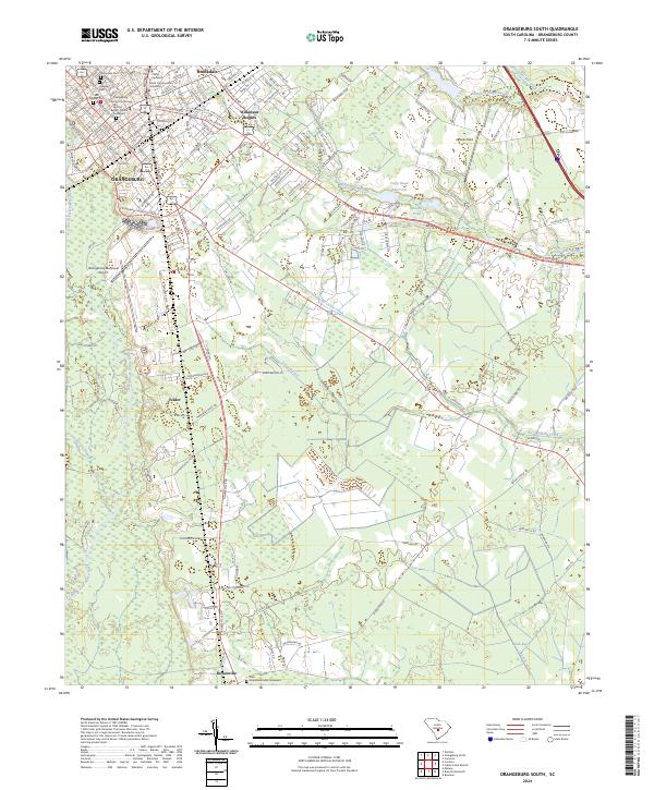
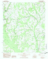
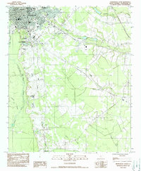
2024 Map of Orangeburg South
USGS Topo · Published 2024This historical map portrays the area of Orangeburg South in 2024, primarily covering Orangeburg. Featuring a scale of 1:24000, this map provides a highly detailed snapshot of the terrain, roads, buildings, counties, and historical landmarks in the Orangeburg South region at the time. Published in 2024, it is the sole known edition of this map.
Map Details
Editions of this 2024 Orangeburg South Map
This is the sole edition of this map. No revisions or reprints were ever made.
Historical Maps of Orangeburg Through Time
28 maps found
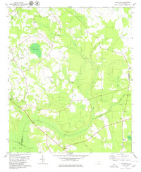
1979 Midway
Orangeburg County, SC
1979 Norway East
Orangeburg County, SC
1979 Norway West
Orangeburg County, SC
1979 Sandridge
Orangeburg County, SC
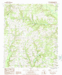
1982 Branchville North
Orangeburg County, SC
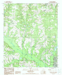
1982 Branchville South
Orangeburg County, SC
1982 Felderville
Orangeburg County, SC
1982 Indian Camp Branch
Orangeburg County, SC
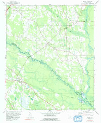
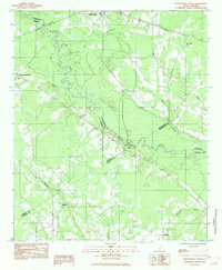
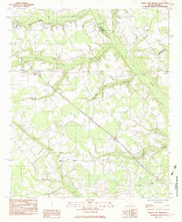
1982 Orangeburg South
Orangeburg County, SC
1982 Wadboo Swamp
Orangeburg County, SC

1985 Saint George
Orangeburg County, SC
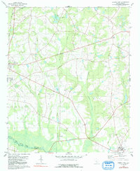
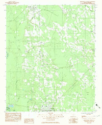
1987 Orangeburg North
Orangeburg County, SC
1988 Harleys Millpond
Orangeburg County, SC
1988 Wolfton
Orangeburg County, SC

1990 Saint George
Orangeburg County, SC
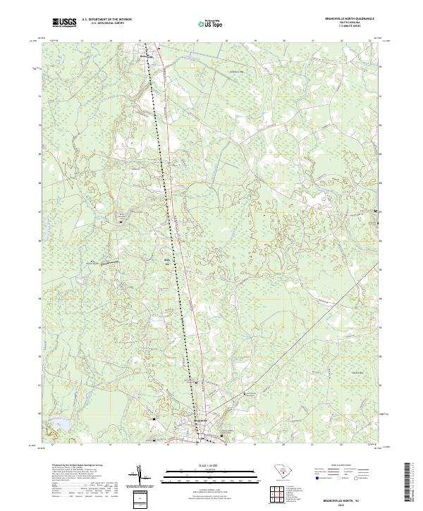
2024 Branchville North
Orangeburg County, SC
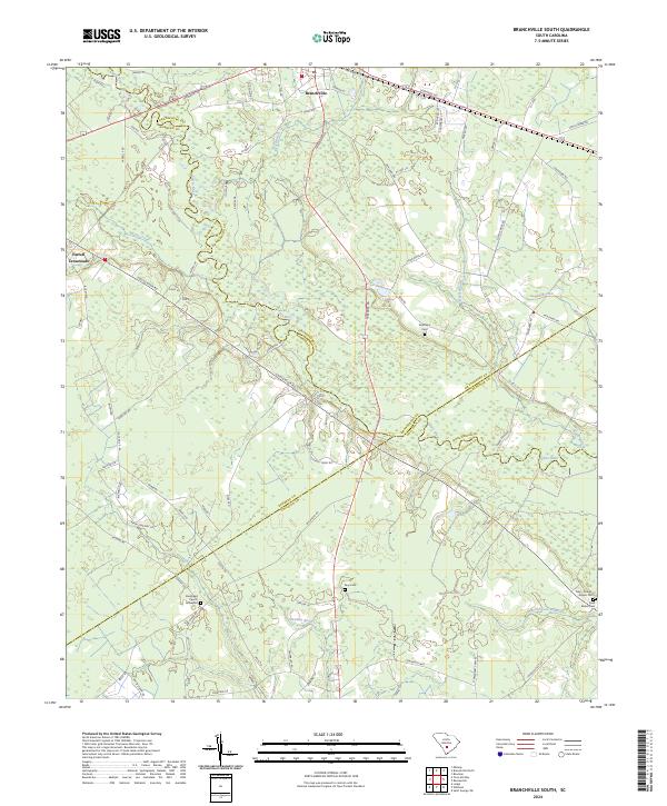
2024 Branchville South
Orangeburg County, SC
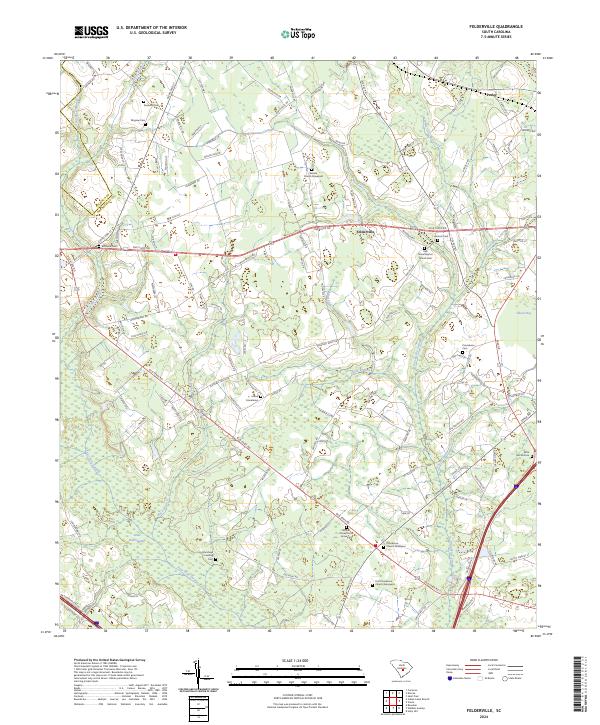
2024 Felderville
Orangeburg County, SC
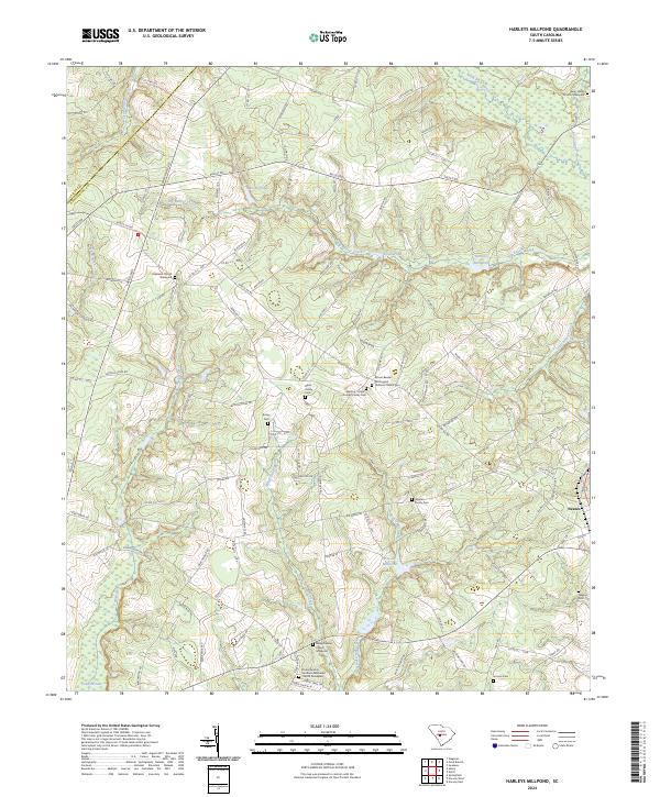
2024 Harleys Millpond
Orangeburg County, SC
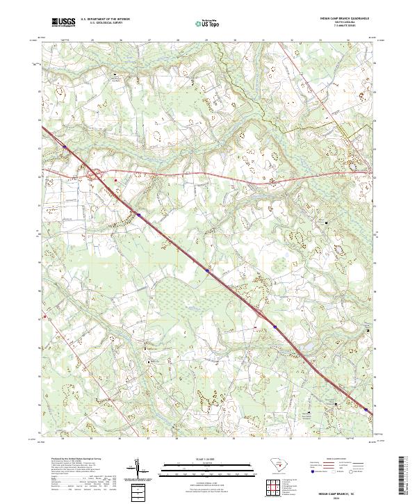
2024 Indian Camp Branch
Orangeburg County, SC
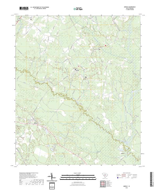
2024 Midway
Orangeburg County, SC
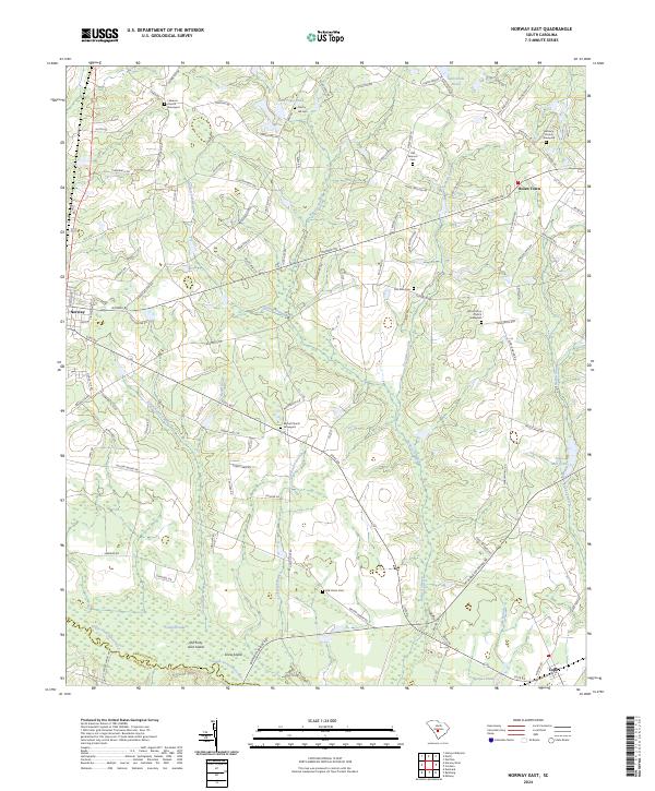
2024 Norway East
Orangeburg County, SC
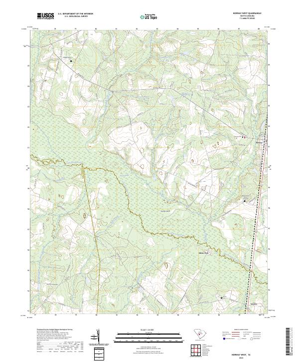
2024 Norway West
Orangeburg County, SC
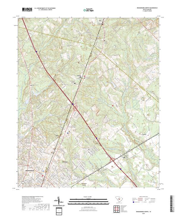
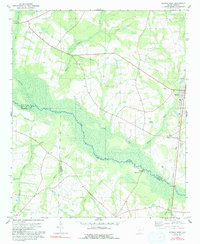
2024 Orangeburg North
Orangeburg County, SC
2024 Orangeburg South
Orangeburg County, SC
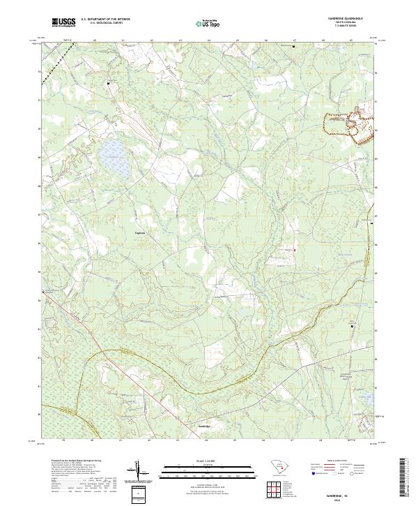
2024 Sandridge
Orangeburg County, SC
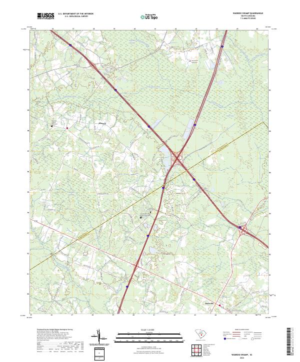
2024 Wadboo Swamp
Orangeburg County, SC
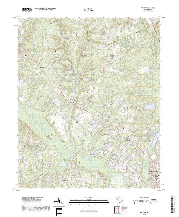
2024 Wolfton
Orangeburg County, SC