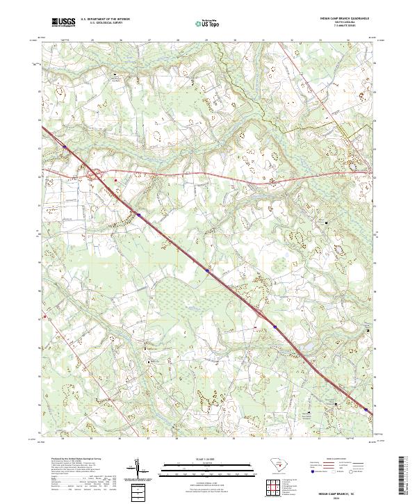
2024 Map of Indian Camp Branch
USGS Topo · Published 2024About this map
The low-lying wetlands of Four Hole Swamp and its many tributaries dominate this area of the South Carolina coastal plain. Stretching across the border of Calhoun County and Orangeburg County, the landscape is defined by the slow-moving waters of Bull Swamp, Middle Pen Swamp, and Cow Castle Creek. These riparian corridors historically influenced the placement of rural homesteads and family burial grounds that remain today.
Find a feature on this map
89 named features on this map. Tap any name to fly to it.
Don’t see what you’re looking for? This feature index may not catch every label — zoom into the map to look around manually.
Map Details
Editions of this 2024 Indian Camp Branch Map
This is the sole edition of this map. No revisions or reprints were ever made.
Other maps of this area

1920 · Bowman
USGS Topo · 1:48,000

1920 · Orangeburg
USGS Topo · 1:48,000

1921 · Orangeburg
USGS Topo · 1:62,500

1921 · Bowman
USGS Topo · 1:62,500

1943 · Bowman
USGS Topo · 1:62,500

1943 · Orangeburg
USGS Topo · 1:125,000

1943 · Orangeburg
USGS Topo · 1:62,500

1946 · Elloree
USGS Topo · 1:62,500

1946 · St. Matthews
USGS Topo · 1:62,500

1954 · Augusta
USGS Topo · 1:250,000