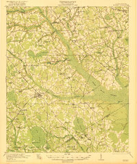
1921 Map of Bowman
USGS Topo · Published 1921About this map
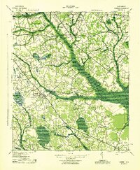
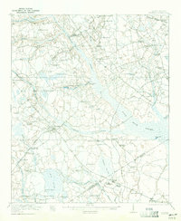
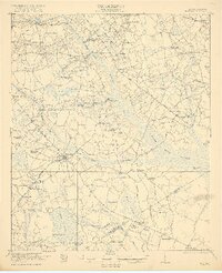
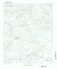
Bowman serves as the central hub of this agricultural landscape in the early 1920s, situated at a junction of several significant routes including the Bowman Road and Branchville Road. The region is defined by the expansive Four Hole Swamp and its associated Four Hole Creek, which create a complex drainage network alongside Little Bull Swamp and Middle Pen Swamp. The rural social fabric is exceptionally dense with educational and religious institutions, featuring dozens of named facilities like Indian Camp School, Livingston Mill School, and Andrews Chapel. Industrial activity is highlighted by Livingston Mill, while the Campmeeting Grounds near Indian Field Swamp point to the area's cultural traditions. The Atlantic Coast Line railroad skirts the northern edge of the territory, providing a vital connection for the dispersed settlements of Felderville and Whetsell.
Find a feature on this map
71 named features on this map. Tap any name to fly to it.
Don’t see what you’re looking for? This feature index may not catch every label — zoom into the map to look around manually.
Map Details
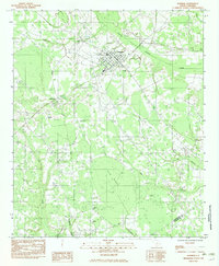
Editions of this 1921 Bowman Map
4 editions found
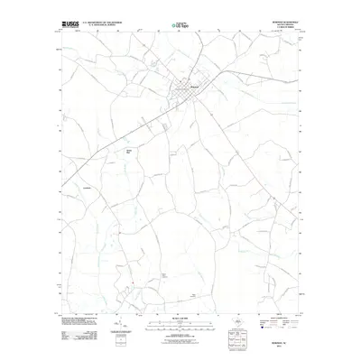
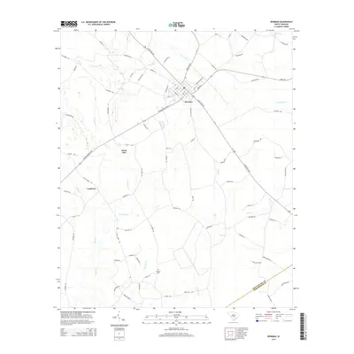
Historical Maps of Bowman Through Time
9 maps found