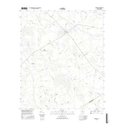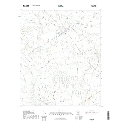
1982 Map of Bowman
USGS Topo · Published 1983About this map
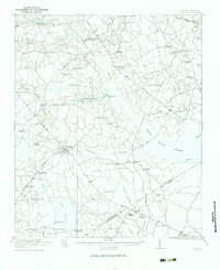
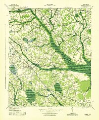
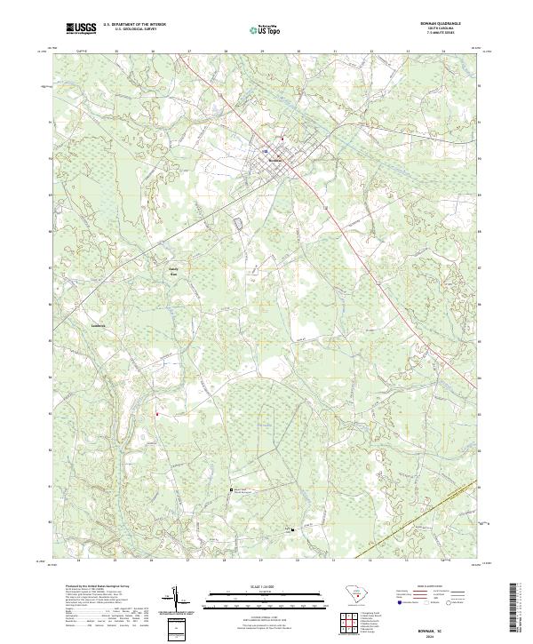
Bowman serves as the central hub of this South Carolina lowcountry landscape, where the grid of the town site transitions into a mosaic of wetlands and timbered branches. The drainage pattern is defined by the slow-moving waters of Polk Swamp and Cow Castle Creek, which dictate the placement of local infrastructure and agricultural plots. This 1970s-era field check documents a rural community centered around its educational and religious institutions, including the local High Sch and several prominent country churches such as Antioch Ch and Mt Olive Ch. To the south, the landscape becomes increasingly saturated as Cattle Creek and Murray Branch feed into larger swamp systems. Notable for genealogists, the map identifies small family landmarks and resting places like Rigby Cem, offering a detailed view of the rural settlement patterns along the Orangeburg Co Dorchester Co line.
Find a feature on this map
15 named features on this map. Tap any name to fly to it.
Don’t see what you’re looking for? This feature index may not catch every label — zoom into the map to look around manually.
Map Details
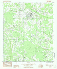
Editions of this 1982 Bowman Map
This is the sole edition of this map. No revisions or reprints were ever made.
Historical Maps of Bowman Through Time
9 maps found