Loading...
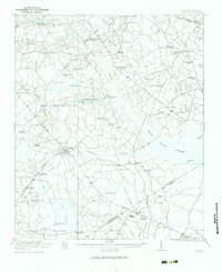
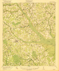
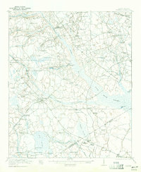
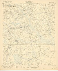
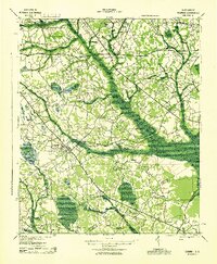
Loading map...1921 Map of Bowman
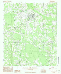
USGS Topo · Published 1984About this map
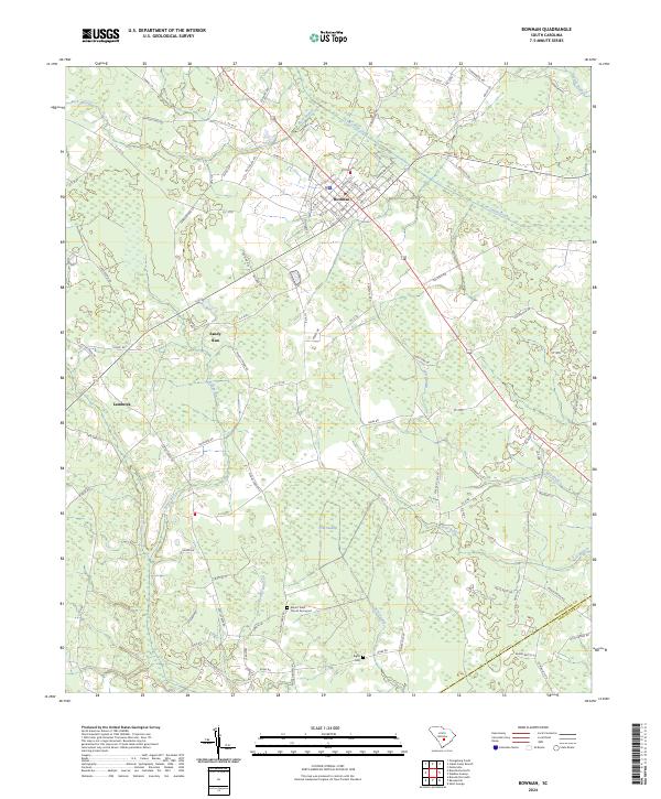
Bowman serves as the primary hub of this 1921 landscape, situated at the junction of the Bowman Road and the Atlantic Coast Line railroad. The geography is defined by a complex network of dark-water swamps, most notably the expansive Four Hole Swamp and its many tributaries like Cow Castle Creek and Wadboo Swamp. This survey reveals a remarkably dense distribution of rural institutions, including dozens of neighborhood schools such as Livingston Mill School and Indian Field School.
Find a feature on this map
77 named features on this map. Tap any name to fly to it.
Don’t see what you’re looking for? This feature index may not catch every label — zoom into the map to look around manually.
Map Details
Date Portrayed1921
Date Published1984
PublisherU.S. Geological Survey
Map TypeTopographic
Scale1:62,500
Physical Dimensions17.3 x 21.2 inches
Editions of this 1921 Bowman Map
4 editions found
Historical Maps of Bowman Through Time
9 maps found

Featured Locations
Source Details
SourceU.S. Geological Survey
CopyrightPublic Domain