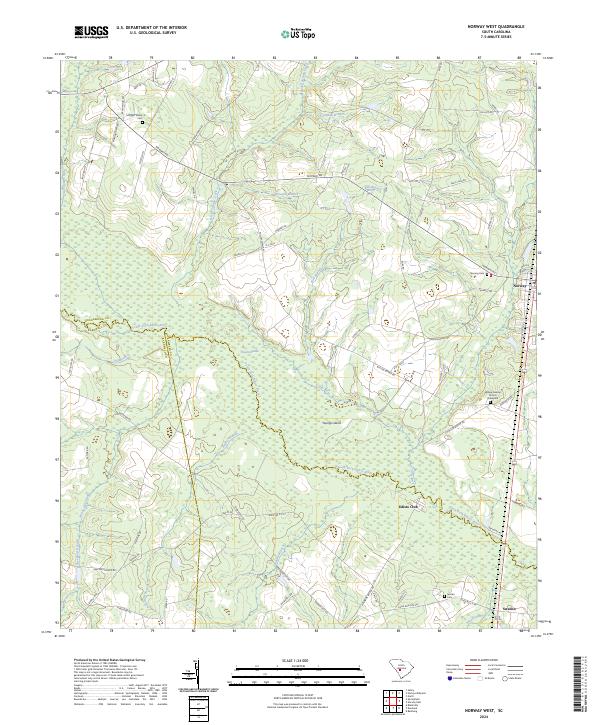
2024 Map of Norway West
USGS Topo · Published 2024About this map
The South Fork Edisto River meanders through this landscape on the border of Orangeburg, Barnwell, and Bamberg counties. The settlement of Norway sits at the eastern edge, serving as a focal point for the surrounding agricultural and swamp land. Significant for genealogists, the map details several burial sites including the Morgan Family Cem and the Willow Swamp Church Graveyard near the Willow Swamp Church.
Find a feature on this map
76 named features on this map. Tap any name to fly to it.
Don’t see what you’re looking for? This feature index may not catch every label — zoom into the map to look around manually.
Map Details
Editions of this 2024 Norway West Map
This is the sole edition of this map. No revisions or reprints were ever made.
Other maps of this area

1919 · Bamberg
USGS Topo · 1:48,000

1920 · Bamberg
USGS Topo · 1:62,500

1923 · Williston
USGS Topo · 1:48,000

1927 · Williston
USGS Topo · 1:62,500

1943 · Bamberg
USGS Topo · 1:62,500

1943 · Williston
USGS Topo · 1:62,500

1944 · Seivern
USGS Topo · 1:62,500

1946 · Woodford
USGS Topo · 1:62,500

1954 · Augusta
USGS Topo · 1:250,000

1957 · Augusta
USGS Topo · 1:250,000