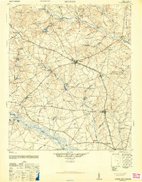
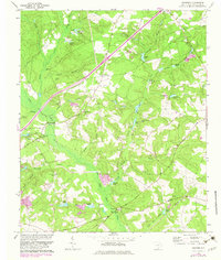
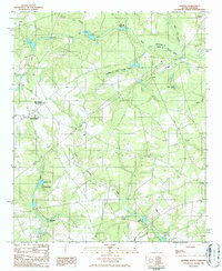
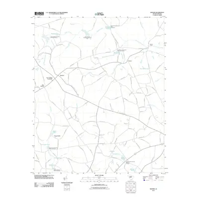
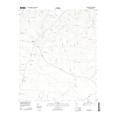
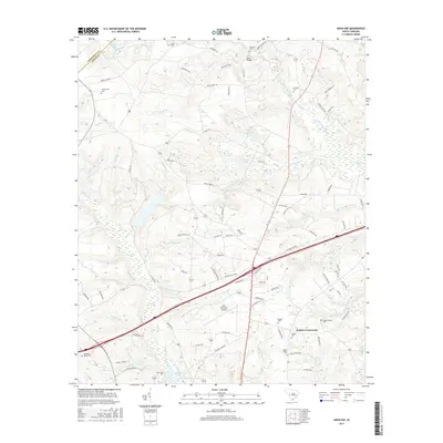
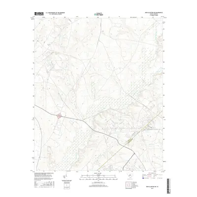
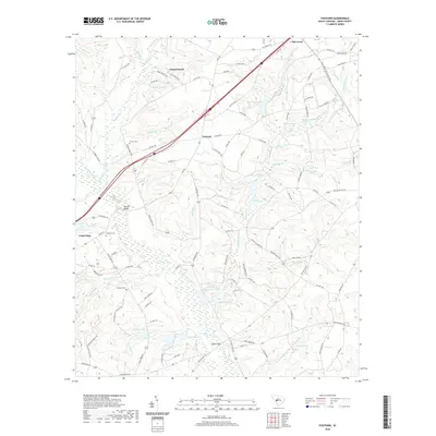
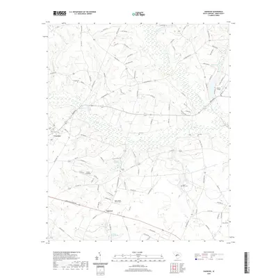
1944 Map of Seivern
USGS Topo · Published 1946About this map
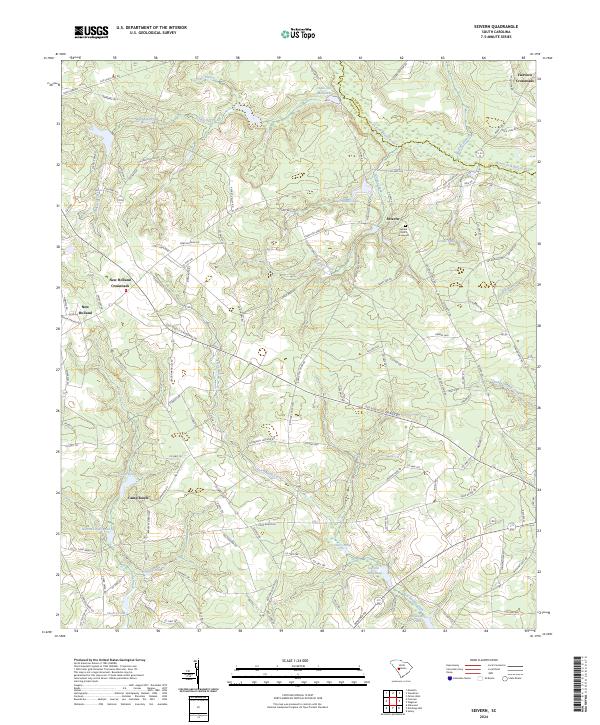
The North Fork Edisto River and South Fork Edisto River define the agricultural landscape of this Aiken County region during the mid-1940s. Centered on the town of Wagener, the area is networked by historic routes such as the Ninety-Six Indian Trail and Chalk Bed Road. The map reveals a high density of rural institutions essential to the era's social fabric, including the Springfield Rosenwald Sch and numerous community landmarks like Rocky Grove Church and Kitchings Mill.
Find a feature on this map
101 named features on this map. Tap any name to fly to it.
Don’t see what you’re looking for? This feature index may not catch every label — zoom into the map to look around manually.
Map Details
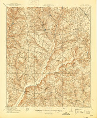
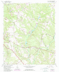
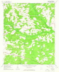
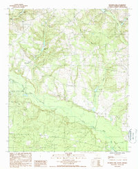
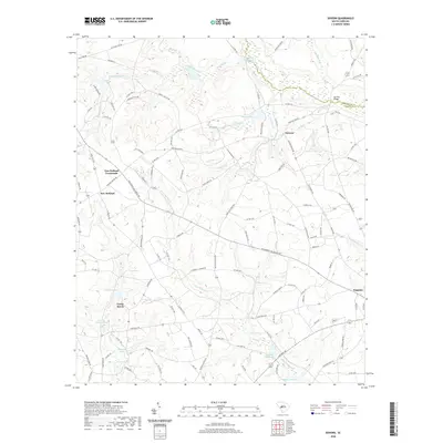
Editions of this 1944 Seivern Map
2 editions found
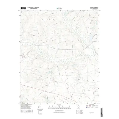
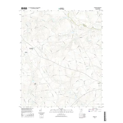
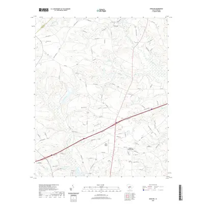
Historical Maps of Wagener Through Time
46 maps found

1920 Talatha
Aiken County, SC
1921 Talatha
Aiken County, SC

1943 Talatha
Aiken County, SC
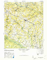
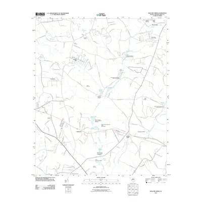
1944 Seivern
Aiken County, SC
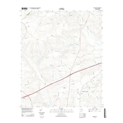
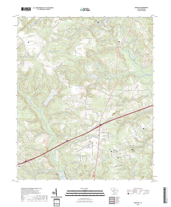
1964 Aiken NW
Aiken County, SC
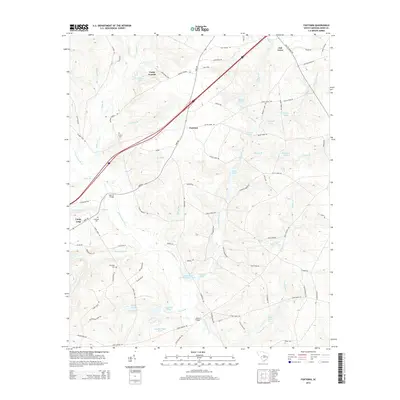
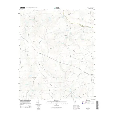
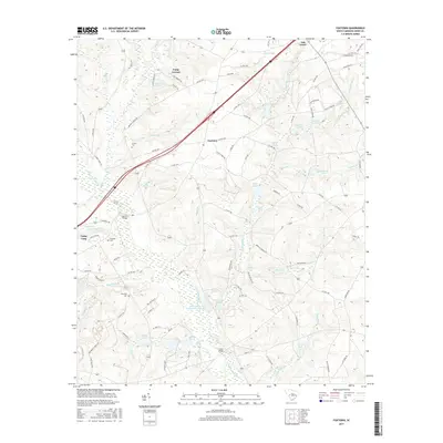
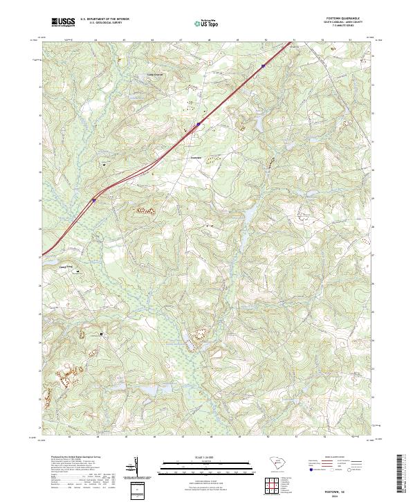
1964 Foxtown
Aiken County, SC
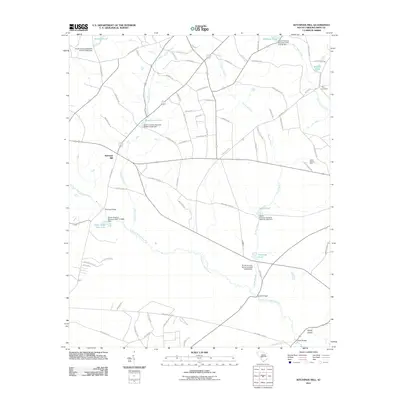
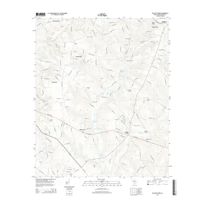
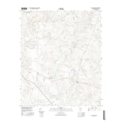
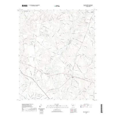
1964 Hollow Creek
Aiken County, SC
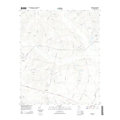
1964 Oakwood
Aiken County, SC
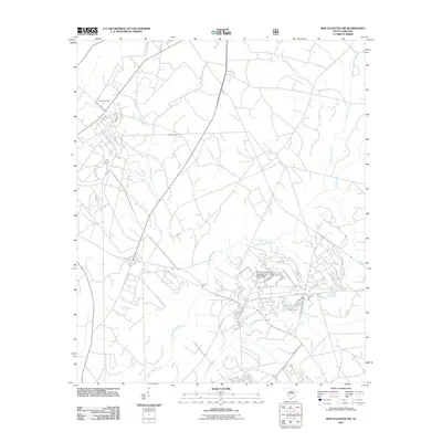
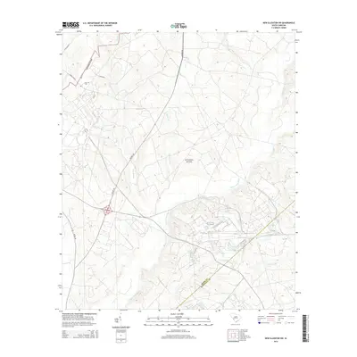
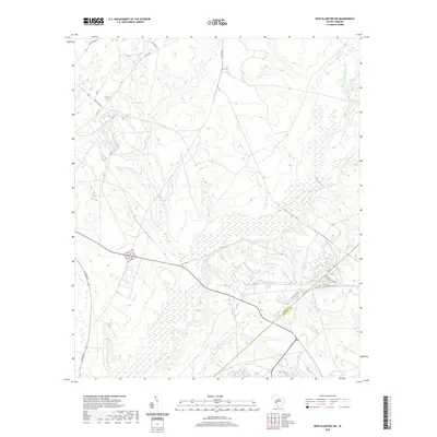
1965 New Ellenton SW
Aiken County, SC
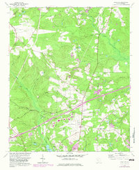
1986 Seivern
Aiken County, SC
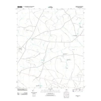
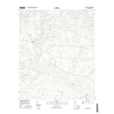
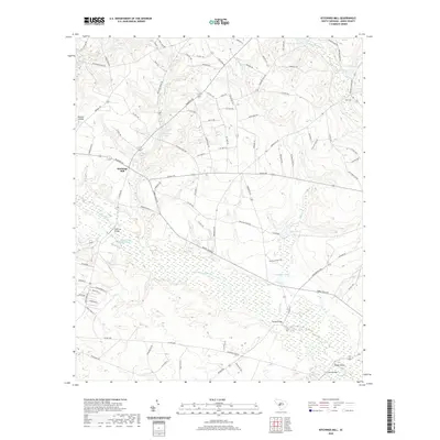
1988 Kitchings Mill
Aiken County, SC
2011 Aiken NW
Aiken County, SC
2011 Foxtown
Aiken County, SC
2011 Hollow Creek
Aiken County, SC
2011 Kitchings Mill
Aiken County, SC
2011 New Ellenton SW
Aiken County, SC
2011 Oakwood
Aiken County, SC
2011 Seivern
Aiken County, SC
2014 Aiken NW
Aiken County, SC
2014 Foxtown
Aiken County, SC
2014 Hollow Creek
Aiken County, SC
2014 Kitchings Mill
Aiken County, SC
2014 New Ellenton SW
Aiken County, SC
2014 Oakwood
Aiken County, SC
2014 Seivern
Aiken County, SC
2017 Aiken NW
Aiken County, SC
2017 Foxtown
Aiken County, SC
2017 Hollow Creek
Aiken County, SC
2017 Kitchings Mill
Aiken County, SC
2017 New Ellenton SW
Aiken County, SC
2017 Oakwood
Aiken County, SC
2017 Seivern
Aiken County, SC
2020 Aiken NW
Aiken County, SC
2020 Foxtown
Aiken County, SC
2020 Hollow Creek
Aiken County, SC
2020 Kitchings Mill
Aiken County, SC
2020 New Ellenton SW
Aiken County, SC
2020 Oakwood
Aiken County, SC
2020 Seivern
Aiken County, SC
2024 Aiken NW
Aiken County, SC
2024 Foxtown
Aiken County, SC
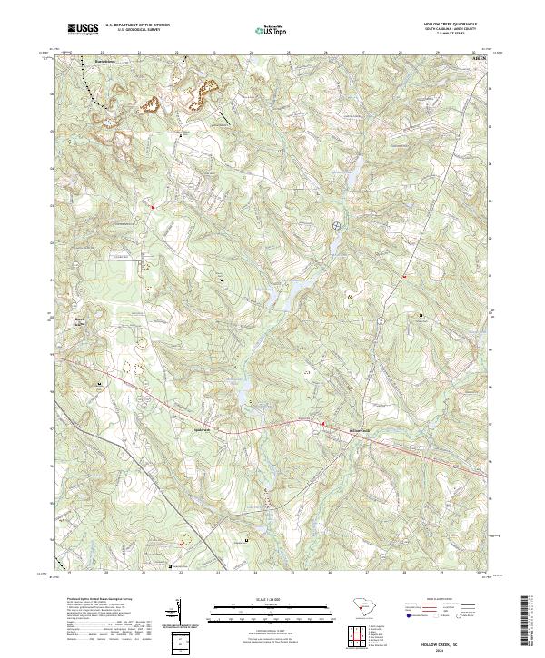
2024 Hollow Creek
Aiken County, SC
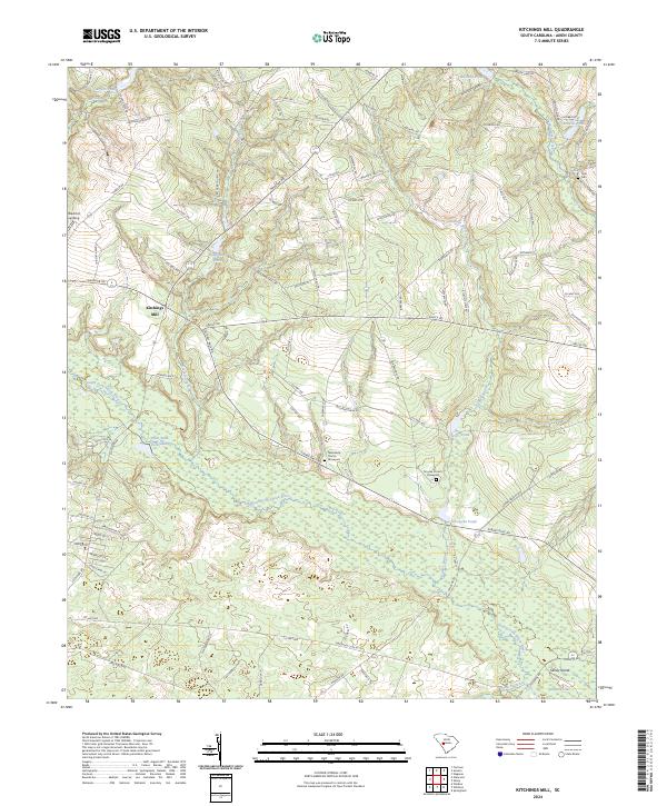
2024 Kitchings Mill
Aiken County, SC
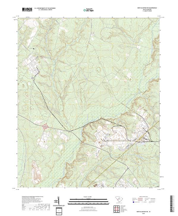
2024 New Ellenton SW
Aiken County, SC
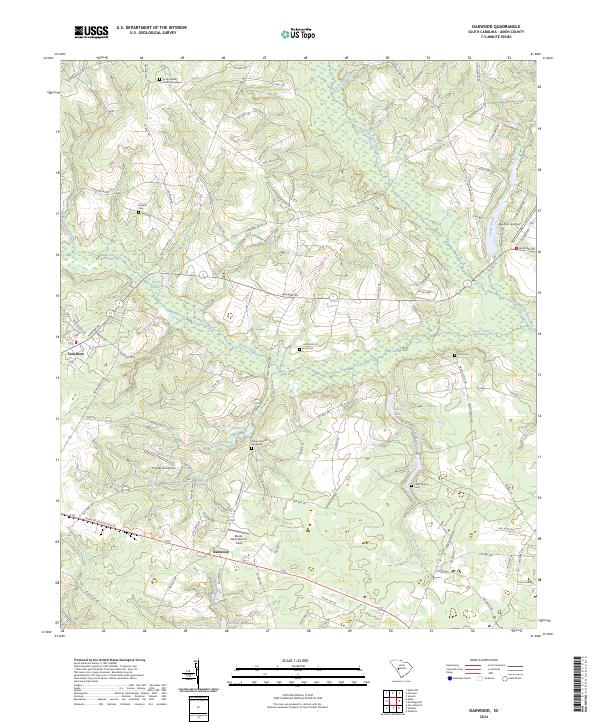
2024 Oakwood
Aiken County, SC
2024 Seivern
Aiken County, SC