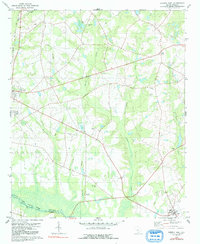
1979 Map of Norway East
USGS Topo · Published 1991About this map
South Fork Edisto River defines the southern boundary of this landscape, where the Orangeburg Co and Bamberg Co lines meet amidst a complex network of wetlands. The interior is characterized by extensive swamp systems, including Deadfall Swamp, Roberts Swamp, and Twomile Swamp, which have historically dictated the placement of settlements and transport routes. Along the western edge, the Seaboard Coast Line railroad links the town of Norway to the broader region, while Cope and Bolen Town serve as smaller community hubs. Numerous rural houses of worship and burial grounds, such as Good Hope Ch, Mt Zion Ch, and Old Union Cem, are scattered across the higher ground between the branches and swamps, reflecting the deep-rooted local history and genealogy of this South Carolina coastal plain region.
Find a feature on this map
31 named features on this map. Tap any name to fly to it.
Don’t see what you’re looking for? This feature index may not catch every label — zoom into the map to look around manually.
Map Details
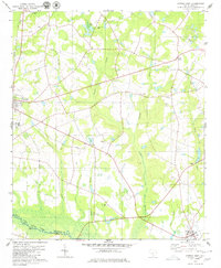
Editions of this 1979 Norway East Map
2 editions found
Other maps of this area

1919 · Bamberg
USGS Topo · 1:48,000

1920 · Bamberg
USGS Topo · 1:62,500

1920 · Orangeburg
USGS Topo · 1:48,000

1921 · Orangeburg
USGS Topo · 1:62,500

1943 · Bamberg
USGS Topo · 1:62,500

1943 · Orangeburg
USGS Topo · 1:125,000

1943 · Orangeburg
USGS Topo · 1:62,500

1946 · Woodford
USGS Topo · 1:62,500

1946 · St. Matthews
USGS Topo · 1:62,500

1954 · Augusta
USGS Topo · 1:250,000