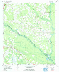
1979 Map of Midway
USGS Topo · Published 1991About this map
The South Fork Edisto River meanders through a landscape of wetlands and family farms along the border of Orangeburg and Bamberg Counties. This late-1970s landscape is defined by its rural community nodes, centered around numerous small country churches such as Cana of Galilee Ch, Emanuel Ch, and Bethel Ch. At the small settlement of Midway, the Southern railroad line intersects with local routes near Mt Zion Ch and the historic Carlisle Field. The survey captures the intricate drainage patterns of the area, featuring the Isaac Jennings Canal and Snake Swamp, alongside distinct landforms like Gannts Bay and Piney Bay. These features, along with scattered family burial grounds like Bethlehem Cem, provide a detailed look at the rural social and physical geography of this South Carolina Lowcountry region.
Find a feature on this map
27 named features on this map. Tap any name to fly to it.
Don’t see what you’re looking for? This feature index may not catch every label — zoom into the map to look around manually.
Map Details
Editions of this 1979 Midway Map
2 editions found
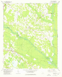
Other maps of this area

1919 · Olar
USGS Topo · 1:62,500

1919 · Bamberg
USGS Topo · 1:48,000

1919 · Lodge
USGS Topo · 1:62,500

1920 · Lodge
USGS Topo · 1:48,000

1920 · Bamberg
USGS Topo · 1:62,500

1920 · Orangeburg
USGS Topo · 1:48,000

1921 · Orangeburg
USGS Topo · 1:62,500

1921 · Lodge
USGS Topo · 1:62,500

1943 · Olar
USGS Topo · 1:62,500

1943 · Lodge
USGS Topo · 1:62,500