Old Maps of Blythewood, South Carolina for Metal Detecting
Plan your next treasure hunt with 31 historic maps of Blythewood. Find old homesites, ghost towns, trails, and gathering spots that may be lost to time — perfect for identifying promising metal detecting locations.
- Locate forgotten sites: Uncover places like long-lost settlements, abandoned rail lines, or gathering spots.
- Plan better hunts: Use map overlays combined with LiDAR or satellite views to narrow in on historically rich areas.
- Made for detectorists: Thousands of hobbyists use these maps to discover relics, coins, and hidden history.
Use these historic maps to boost your research and find new opportunities beneath the surface of Blythewood.
Blythewood, SC maps
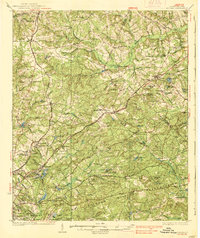
(31)- 1904 Map of Columbia
 1904 Columbia1904 Print · USGSRichland and Fairfield counties at the turn of the century are defined by their river-and-rail corridors and rural church communities. Genealogists can trace family footprints across Broad River ferries, the Southern R.R., and landmarks like The Old Brick Church or Winnsboro.2 unique versions available
 - 1935 Map of Killian
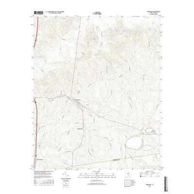
 1935 Killian1935 Print · USGSRichland County at the height of the mid-1930s is a landscape of rural schoolhouses and growing military infrastructure. Genealogists can trace family landmarks like Kelley Cem, Bookman Mill, and dozens of local churches including Roundtop Ch.2 unique versions available
 - 1937 Map of Killian
 1937 Killian1937 Print · USGSRichland and Kershaw counties in the mid-1930s show a landscape of growing military installations and rural community life. Genealogists can trace family names through dozens of landmarks like Bookmans Mill, Sand Level Sch, and Union Baptist Ch.4 unique versions available
 - 1941 Map of Spartanburg
 1941 Spartanburg1941 Print · USGSSouth Carolina’s Piedmont and Sandhills regions are shown here during the mid-century peak of the rail era. Researchers can trace the sprawling Fort Jackson Military Reservation and the industrial growth of hubs like Spartanburg and Rock Hill.
 - 1942 Map of Camden
 1942 Camden1942 Print · USGSMid-century South Carolina comes into focus along the Wateree River as the region's rail and agricultural networks reached their peak. Genealogists and historians can trace old community hubs like Boykin Mill, Friends Neck Ch, and the grounds of the Sand Hill Experimental Station.
 - 1949 Map of Irmo NE
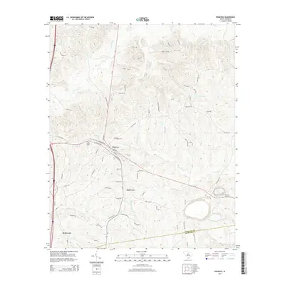
 1949 Irmo NE1949 Print · USGSThe border of Richland and Fairfield counties is captured here in the late 1940s, showing a rural landscape of scattered homesteads and community schools. Researchers can locate family landmarks and early congregations including Taylor Chapel Ch, St Andrews Ch, and the Wirick Cem.
 - 1953 Map of Blythewood, 1957 Print
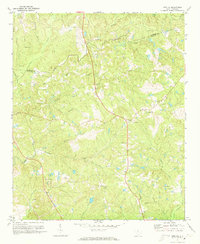
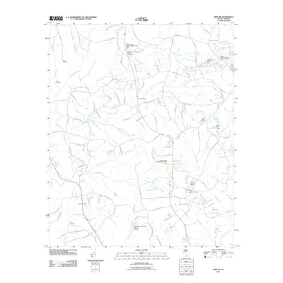
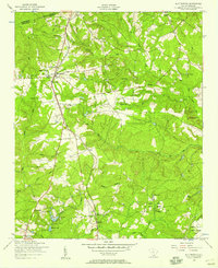 1953 Blythewood1957 Print · USGSMid-century Richland County is captured here at a time when rural schoolhouses and local rail lines still shaped the community north of Columbia. Genealogists can trace family footprints at Browns Cemetery or follow the SOUTHERN railroad through Blythewood and Killian.
 - 1953 Map of Spartanburg, 1966 Print
 1953 Spartanburg1966 Print · USGSMid-century South Carolina comes into focus through this survey of the Piedmont and the Sand Hills at a time of significant reservoir expansion. Researchers can trace the legacy of industrial transit and resource extraction from the Haile Gold Mine to the rail hubs of the Seaboard Air Line.4 unique versions available
 - 1960 Map of Spartanburg
 1960 Spartanburg1960 Print · USGSThe South Carolina Piedmont and North Carolina borderlands come alive in this mid-century survey of the region between Spartanburg and Columbia. Researchers can trace the Seaboard Air Line railroad and explore landmarks like Anderson Quarry, Lake Murray, and Mount Croghan.2 unique versions available
 - 1963 Map of Spartanburg
 1963 Spartanburg1963 Print · USGSMid-century South Carolina comes alive in this survey, showing the rail-linked corridor between the Upstate and the Midlands. Genealogists can trace family lands near old hubs like Union and Lancaster, or along the banks of the Broad River and Pee Dee River.
 - 1964 Map of Spartanburg
 1964 Spartanburg1964 Print · USGSMid-century South Carolina comes alive in this survey of the Piedmont and Upcountry, stretching from the Blue Ridge foothills to the Sandhills. Genealogists and historians can trace the rail-and-river economy through Monarch Mills, Glenn Springs, and the Southern Railway corridor.
 - 1971 Map of Ridgeway, 1972 Print
 1971 Ridgeway1972 Print · USGSThe town of Ridgeway and its surrounding countryside are captured in the early 1970s as a vital railroad and agricultural crossroads. Genealogists and historians can trace local landmarks like Aimwell Cem, St Stephens Ch, and the outlying Oak Grove Sch.
 - 1971 Map of Blythewood, 1973 Print
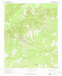
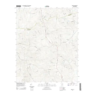
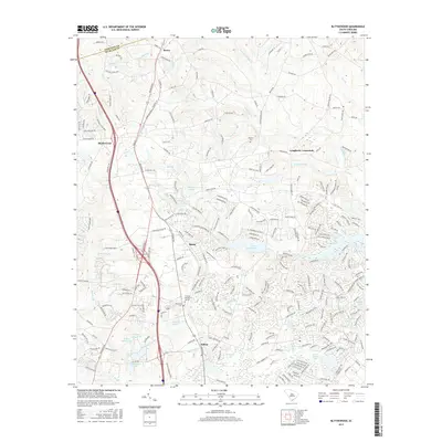
 1971 Blythewood1973 Print · USGSBlythewood and the rural stretches of Richland County are shown in the early seventies as small communities began to grow along the Southern railroad. Researchers can trace the footprints of Hanbury Jr High Sch, Bethel Ch, and the old sandpits.2 unique versions available
 - 1971 Map of Irmo NE, 1973 Print
 1971 Irmo NE1973 Print · USGSRichland and Fairfield counties are shown in the early seventies, a landscape where rural church life and family cemeteries anchor the community. Researchers can trace dozens of local landmarks, including the Taylor Chapel Cem, Beulah Ch, and Camp Dixon.3 unique versions available
 - 1986 Map of Camden South
 1986 Camden South1986 Print · USGSThe South Carolina midlands come into focus in the mid-eighties, showing the sprawling corridors between the Wateree and Lynches Rivers. Genealogists and historians can trace family roots through numerous mill sites and rural junctions like Boykin, Lucknow, and Hermitage Mill Pond.4 unique versions available
 - 1986 Map of Newberry
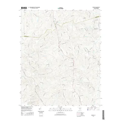
 1986 Newberry1986 Print · USGSSouth Carolina's Piedmont region is shown here in the mid-1980s, revealing a landscape of historic crossroads and industrial mill villages. Researchers can trace family roots through landmarks like Lynch Woods Cem, New Hope Church, and the campus of Presbyterian College.2 unique versions available
 - 2011 Map of Ridgeway, 2011 Print
 2011 Ridgeway2011 Print · USGSCovers Blythewood, including Ridgeway, Smallwood, and other nearby areas
 - 2011 Map of Irmo NE, 2011 Print
 2011 Irmo NE2011 Print · USGSCovers Blythewood, including Green Acres, Richland County, and other nearby areas
 - 2011 Map of Blythewood, 2011 Print
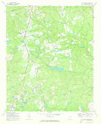
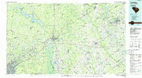
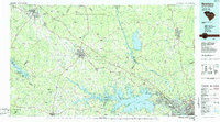
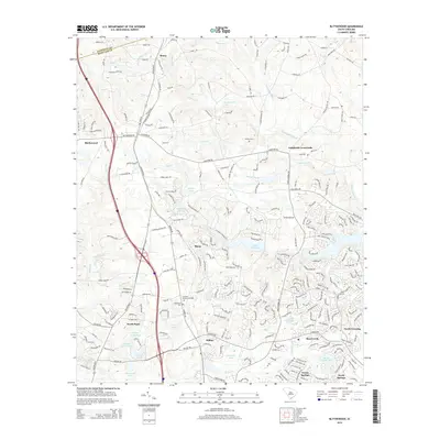
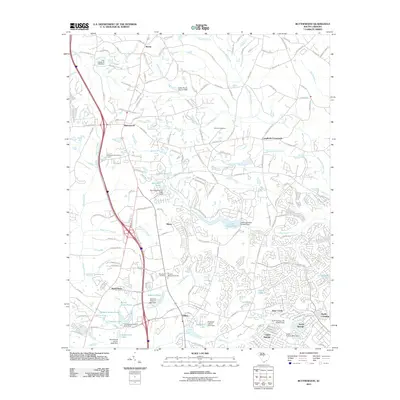 2011 Blythewood2011 Print · USGSCovers Blythewood, including Langfords Crossroads, Sharp, and other nearby areas
 - 2014 Map of Irmo NE, 2014 Print
 2014 Irmo NE2014 Print · USGSCovers Blythewood, including Green Acres, Richland County, and other nearby areas
 - 2014 Map of Ridgeway, 2014 Print
 2014 Ridgeway2014 Print · USGSCovers Blythewood, including Ridgeway, Smallwood, and other nearby areas
 - 2014 Map of Blythewood, 2014 Print
 2014 Blythewood2014 Print · USGSCovers Blythewood, including Langfords Crossroads, Sharp, and other nearby areas
 - 2017 Map of Irmo NE, 2017 Print
 2017 Irmo NE2017 Print · USGSCovers Blythewood, including Green Acres, Richland County, and other nearby areas
 - 2017 Map of Blythewood, 2017 Print
 2017 Blythewood2017 Print · USGSCovers Blythewood, including Langfords Crossroads, Sharp, and other nearby areas
 - 2017 Map of Ridgeway, 2017 Print
 2017 Ridgeway2017 Print · USGSCovers Blythewood, including Ridgeway, Smallwood, and other nearby areas
Showing maps 1-25 of 31
Top cities near Blythewood
- Columbia historical maps
- Lexington historical maps
- West Columbia historical maps
- Forest Acres historical maps
- Winnsboro historical maps
- Elgin historical maps
See more
Frequently asked questions
- What are the different types of historical maps available for Blythewood?
- What is the oldest map of Blythewood?
- Where can I purchase historical maps of Blythewood for my home or office?
- Where can I download high-res historical maps of Blythewood?
- Are there historical topographic maps available for Blythewood?
- Is there historical aerial imagery available for Blythewood?
- Where are historical maps of Blythewood sourced from?