Old Maps of Boiling Springs, South Carolina for Hiking & Exploration
Hike through history with 26 historic maps of Boiling Springs. Explore old trails, ghost towns, and forgotten backroads — perfect for outdoor adventurers and local explorers.
- Rediscover forgotten places: Map out old mining camps, roads, and footpaths that no longer exist on modern maps.
- Layer with modern tools: Combine with LiDAR or satellite views to plan hikes through historical terrain.
- Made for exploration: Popular among hikers, overlanders, and local history lovers.
Use these maps to find adventure and explore the hidden past of Boiling Springs.
Boiling Springs, SC maps
(26)- 1907 Map of Saluda
 1907 Saluda1907 Print · USGSNorth Carolina's mountain frontier meets the South Carolina foothills in this 1900s survey of the Blue Ridge. Genealogists and researchers can trace the early rail network through Saluda and locate old landmarks like Rockcliff PO and Pleasant Grove Church.3 unique versions available
 - 1953 Map of Charlotte, 1968 Print
 1953 Charlotte1968 Print · USGSThe North Carolina Piedmont and South Carolina borderlands are shown in detail during a period of significant growth and reservoir development. Trace the rail corridors of the Southern Railway or find family roots in towns like China Grove, Misenheimer, and Lincolnton.3 unique versions available
 - 1954 Map of Charlotte
 1954 Charlotte1954 Print · USGSThe North Carolina Piedmont in the mid-1950s shows a region of rapid growth and industrial expansion centered around Charlotte. Trace the era's infrastructure through the Southern railroad lines and locate significant landmarks like the Charlotte Naval Ammunition Depot and Lake Norman.2 unique versions available
 - 1955 Map of Knoxville
 1955 Knoxville1955 Print · USGSThe Southern Appalachians and the Smoky Mountains are shown here at a peak of mid-century development and conservation. Genealogists and historians can trace the early road networks connecting Gatlinburg, Waynesville, and the Cherokee Indian Reservation across the high ridges.
 - 1957 Map of Knoxville, 1966 Print
 1957 Knoxville1966 Print · USGSThe Southern Appalachians of Tennessee and North Carolina are mapped here during the mid-twentieth century as new highways reached the high country. Genealogists and historians can trace the topography between Knoxville and Asheville, locating family landmarks near Fontana Lake or along the Blue Ridge Parkway.4 unique versions available
 - 1959 Map of Cowpens, 1961 Print
 1959 Cowpens1961 Print · USGSThe borderlands of the Carolinas are shown here in the late fifties, featuring a mix of textile mill towns and rural farming communities. Researchers can trace family roots through numerous local landmarks like Cannons Camp Ground, Gaffney Chapel, and Cooley Springs.2 unique versions available
 - 1960 Map of Knoxville
 1960 Knoxville1960 Print · USGSThe Southern Appalachians come alive in the 1950s, showing the intersection of new national park tourism and deep-rooted mountain industry. Trace old rail lines like the Clinchfield RR and find high-altitude landmarks from Mt Le Conte to the Cherokee Indian Reservation.2 unique versions available
 - 1960 Map of Charlotte
 1960 Charlotte1960 Print · USGSMid-century North Carolina and South Carolina meet in this 1960 survey of the Piedmont's industrial and textile heartland. Trace the growth of Charlotte alongside historic landmarks like Kings Mountain National Military Park and the Charlotte Naval Ammunition Depot.2 unique versions available
 - 1961 Map of Inman, 1964 Print
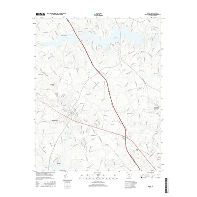
 1961 Inman1964 Print · USGSUpper Spartanburg County and Polk County thrive in the early sixties as the textile industry and new reservoirs reshape the landscape. Genealogists can locate family names at Morgan Chapel Cem and Polk Memorial Gardens, or trace early industrial hubs like Inman Mills.
 - 1962 Map of Charlotte
 1962 Charlotte1962 Print · USGSThe North Carolina Piedmont in the early sixties showcases a landscape transformed by massive reservoirs and industrial growth. Researchers can trace the development of Lake Norman, locate the Charlotte Naval Ammunition Depot, or find family landmarks like Wesley Chapel and Brown & Norcott Mills.
 - 1964 Map of Knoxville
 1964 Knoxville1964 Print · USGSThe Southern Appalachians and Great Smokies are captured here during the mid-sixties, showing the rugged borderlands of Tennessee and North Carolina. Researchers can trace historic mountain routes like U S 441, the expanse of Pisgah National Forest, and the growing footprints of Asheville and Knoxville.
 - 1983 Map of Inman
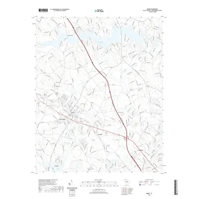
 1983 Inman1983 Print · USGSInman and the surrounding Spartanburg County textile corridor are captured here during the early eighties. Researchers can trace family roots through numerous sites like Inman Mills, Chapman High Sch, and the Ridgeville Ch Cem.
 - 1983 Map of Valley Falls
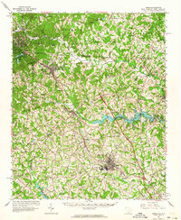
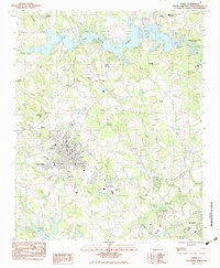
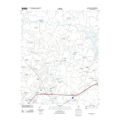
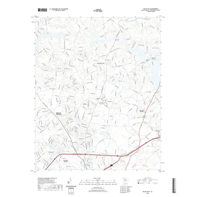
 1983 Valley Falls1983 Print · USGSSpartanburg County's rolling Piedmont landscape is captured here in the early eighties, showing the growth of Boiling Springs and Valley Falls. Local historians can trace old community centers like Cherokee Springs, find family-named landmarks like Holden Chapel, and locate the South Pacolet River Reservoir No 1.
 - 1986 Map of Hendersonville
 1986 Hendersonville1986 Print · USGSThe Blue Ridge foothills of North and South Carolina are documented here in the mid-eighties as modern highways began to reshape mountain travel. Local historians can trace the paths of the Southern Railway through Hendersonville or locate landmarks like Looking Glass Rock and Inman Mills.2 unique versions available
 - 1986 Map of Gastonia
 1986 Gastonia1986 Print · USGSThe Carolina Piedmont in the mid-eighties shows a landscape shaped by Revolutionary War history and the textile industry. Trace the footprints of early battles at Kings Mountain National Military Park and locate depots along the Southern Railway in Shelby and Gastonia.
 - 1991 Map of Gastonia
 1991 Gastonia1991 Print · USGSThe Piedmont region along the North Carolina and South Carolina border shows a bustling industrial and transit corridor in the early nineties. Researchers can trace the sprawling footprints of Gastonia and Shelby or explore the grounds of Kings Mountain National Military Park and Lake Wylie.
 - 2011 Map of Inman, 2011 Print
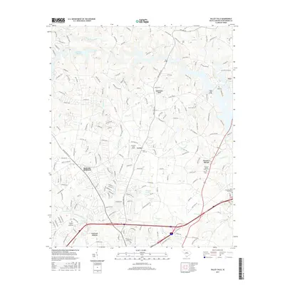
 2011 Inman2011 Print · USGSCovers Boiling Springs, including Inman, North Ridge, and other nearby areas
 - 2011 Map of Valley Falls, 2011 Print
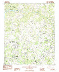
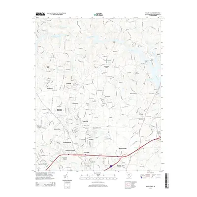
 2011 Valley Falls2011 Print · USGSCovers Boiling Springs, including Cherokee Springs, Fosters Grove, and other nearby areas
 - 2014 Map of Valley Falls, 2014 Print
 2014 Valley Falls2014 Print · USGSCovers Boiling Springs, including Cherokee Springs, Fosters Grove, and other nearby areas
 - 2014 Map of Inman, 2014 Print
 2014 Inman2014 Print · USGSCovers Boiling Springs, including Inman, North Ridge, and other nearby areas
 - 2017 Map of Valley Falls, 2017 Print
 2017 Valley Falls2017 Print · USGSCovers Boiling Springs, including Cherokee Springs, Fosters Grove, and other nearby areas
 - 2017 Map of Inman, 2017 Print
 2017 Inman2017 Print · USGSCovers Boiling Springs, including Inman, North Ridge, and other nearby areas
 - 2020 Map of Inman, 2020 Print
 2020 Inman2020 Print · USGSCovers Boiling Springs, including Inman, North Ridge, and other nearby areas
 - 2020 Map of Valley Falls, 2020 Print
 2020 Valley Falls2020 Print · USGSCovers Boiling Springs, including Cherokee Springs, Fosters Grove, and other nearby areas
 - 2024 Map of Inman, 2024 Print
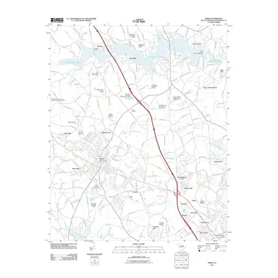
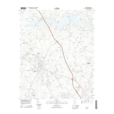
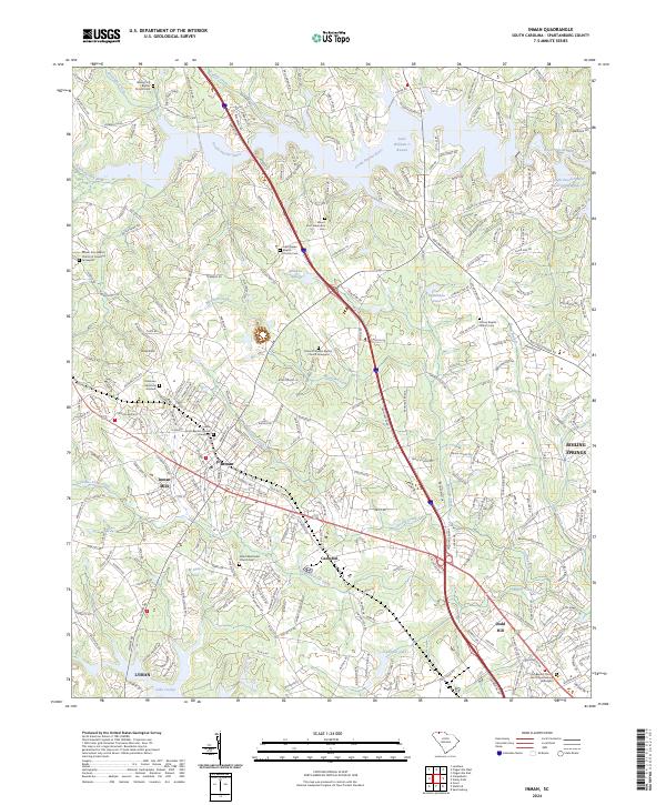 2024 Inman2024 Print · USGSSpartanburg County's northern corridor comes into focus here, showing the growth of Inman and the industrial heritage of Inman Mills. Researchers can locate numerous family burial sites, including Walnut Hill Baptist Church Cem and Mount Zion Tabernacle Cem.
Showing maps 1-25 of 26
Top cities near Boiling Springs
- Spartanburg historical maps
- Greer historical maps
- Lyman historical maps
- Inman historical maps
- Duncan historical maps
- Pacolet historical maps
See more
Top neighborhoods of Boiling Springs
- Farm Lake historical maps
- Bay Hill Cove historical maps
- Clearview Heights historical maps
- Coal Creek historical maps
- Collingwood historical maps
- Daniels Estates historical maps
See more
Frequently asked questions
- What are the different types of historical maps available for Boiling Springs?
- What is the oldest map of Boiling Springs?
- Where can I purchase historical maps of Boiling Springs for my home or office?
- Where can I download high-res historical maps of Boiling Springs?
- Are there historical topographic maps available for Boiling Springs?
- Is there historical aerial imagery available for Boiling Springs?
- Where are historical maps of Boiling Springs sourced from?