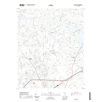
2020 Map of Valley Falls
USGS Topo · Published 2020About this map
Boiling Springs and Cherokee Springs anchor this residential and agricultural landscape in Spartanburg County, showing a well-developed network of small communities and family-named infrastructure. The terrain is defined by the winding course of the North Pacolet River and numerous creek systems, including Buck Creek and Lawsons Fork Creek, which have historically shaped local boundaries and settlement patterns.
Find a feature on this map
276 named features on this map. Tap any name to fly to it.
Don’t see what you’re looking for? This feature index may not catch every label — zoom into the map to look around manually.
Map Details
Editions of this 2020 Valley Falls Map
This is the sole edition of this map. No revisions or reprints were ever made.
Other maps of this area

1907 · Saluda
USGS Topo · 1:125,000

1935 · Greer
USGS Topo · 1:48,000

1938 · Greer
USGS Topo · 1:62,500

1941 · Spartanburg
USGS Topo · 1:250,000

1947 · Spartanburg
USGS Topo · 1:62,500

1949 · Spartanburg
USGS Topo · 1:24,000

1949 · Spartanburg
USGS Topo · 1:62,500

1953 · Spartanburg
USGS Topo · 1:250,000

1953 · Charlotte
USGS Topo · 1:250,000

1954 · Charlotte
USGS Topo · 1:250,000