Old Maps of Lyman, South Carolina for Hiking & Exploration
Hike through history with 20 historic maps of Lyman. Explore old trails, ghost towns, and forgotten backroads — perfect for outdoor adventurers and local explorers.
- Rediscover forgotten places: Map out old mining camps, roads, and footpaths that no longer exist on modern maps.
- Layer with modern tools: Combine with LiDAR or satellite views to plan hikes through historical terrain.
- Made for exploration: Popular among hikers, overlanders, and local history lovers.
Use these maps to find adventure and explore the hidden past of Lyman.
Lyman, SC maps
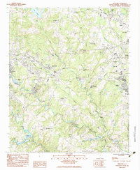
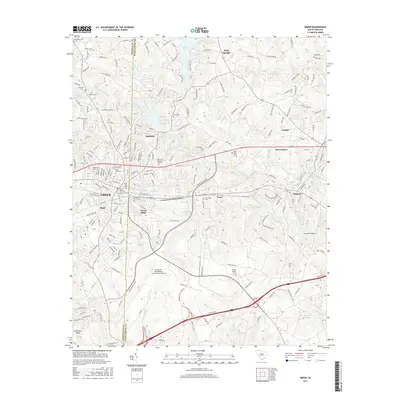
(20)- 1935 Map of Greer
 1935 Greer1935 Print · USGSThe industrial textile hubs and rural communities of the South Carolina Piedmont thrive along the rail lines during the mid-thirties. Genealogists and local historians can trace family locations near Victor Mills, Hanson Academy, and numerous country churches like Woods Chapel.
 - 1938 Map of Greer
 1938 Greer1938 Print · USGSUpstate South Carolina during the mid-1930s was a landscape of bustling textile centers and quiet rural crossroads. Genealogists and historians can trace family roots through numerous local landmarks like Woods Chapel, Jackson Mill, and the CCC Camp near Switzer.3 unique versions available
 - 1954 Map of Greenville, 1965 Print
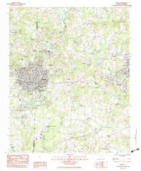
 1954 Greenville1965 Print · USGSThe Upstate and Northeast Georgia are captured here during a decade of massive transformation as new reservoirs reshaped the Piedmont. Genealogists and hikers can trace the Appalachian Trail over Brasstown Bald or locate old community centers like Demorest, Westminster, and Royston.3 unique versions available
 - 1957 Map of Greer, 1959 Print
 1957 Greer1959 Print · USGSThe Upstate South Carolina textile corridor comes to life in this mid-century survey of the Tyger River valleys. Researchers can trace the industrial footprint of Victor Mills, locate early country churches like Old Pilgrim Ch, and explore the residential growth around Greer and Lyman.2 unique versions available
 - 1958 Map of Greenville
 1958 Greenville1958 Print · USGSThe Piedmont and Blue Ridge foothills come alive in this mid-century survey of the Upstate and Northeast Georgia. Trace the regional rail-and-river economy through the Southern Railway corridors and early reservoir developments like Lake Sidney Lanier.
 - 1983 Map of Wellford
 1983 Wellford1983 Print · USGSSpartanburg County's industrial river valleys are captured here in the early eighties, showing the vital textile communities along the Tyger Rivers. Trace local heritage through mill sites like Jackson Mill, family-named cemeteries such as Penny-McMillan Cem, and the tracks of the Southern railroad.
 - 1983 Map of Greer
 1983 Greer1983 Print · USGSThe industrial and rail corridor of the South Carolina Upstate comes into focus here in the early eighties. Researchers can trace textile heritage and community roots through Victor Mills, Apalache, and old landmarks like Woods Chapel.
 - 1984 Map of Greenville
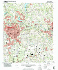
 1984 Greenville1984 Print · USGSThe South Carolina Upstate undergoes rapid suburban growth in the mid-eighties as modern interstates begin to reshape the landscape. Researchers can trace historic rail lines like the Greenville and Northern Railway and locate local landmarks such as Clemson University and Paris Mountain State Park.
 - 1991 Map of Greenville
 1991 Greenville1991 Print · USGSThe South Carolina Upstate was a landscape of rapid growth and engineering in the early nineties. Researchers can trace the expansion of Greenville and Spartanburg, find Clemson University, or study the massive reservoirs of Hartwell Lake and Lake Keowee.
 - 1994 Map of Greer, 2000 Print
 1994 Greer2000 Print · USGSThe industrial corridor between Greenville and Spartanburg comes to life in the mid-1990s as it transitions from its textile roots toward modern regional infrastructure. Genealogists and historians can trace the legacy of local congregations and family landmarks from Victor Mills and Washington Cem to the banks of Lake Lyman.
 - 2011 Map of Greer, 2011 Print
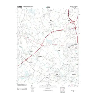
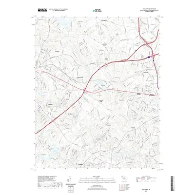
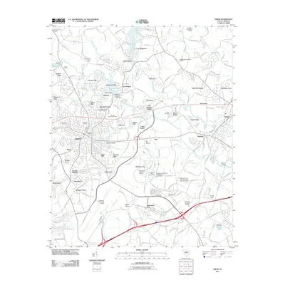 2011 Greer2011 Print · USGSCovers Lyman, including Greer, Duncan, and other nearby areas
 - 2011 Map of Wellford, 2011 Print
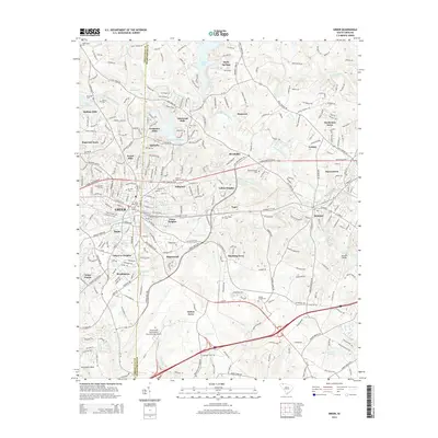
 2011 Wellford2011 Print · USGSCovers Lyman, including Duncan, Wellford, and other nearby areas
 - 2014 Map of Greer, 2014 Print
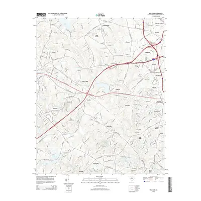
 2014 Greer2014 Print · USGSCovers Lyman, including Greer, Duncan, and other nearby areas
 - 2014 Map of Wellford, 2014 Print
 2014 Wellford2014 Print · USGSCovers Lyman, including Duncan, Wellford, and other nearby areas
 - 2017 Map of Wellford, 2017 Print
 2017 Wellford2017 Print · USGSCovers Lyman, including Duncan, Wellford, and other nearby areas
 - 2017 Map of Greer, 2017 Print
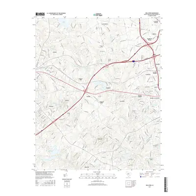
 2017 Greer2017 Print · USGSCovers Lyman, including Greer, Duncan, and other nearby areas
 - 2020 Map of Wellford, 2020 Print
 2020 Wellford2020 Print · USGSCovers Lyman, including Duncan, Wellford, and other nearby areas
 - 2020 Map of Greer, 2020 Print
 2020 Greer2020 Print · USGSCovers Lyman, including Greer, Duncan, and other nearby areas
 - 2024 Map of Greer, 2024 Print
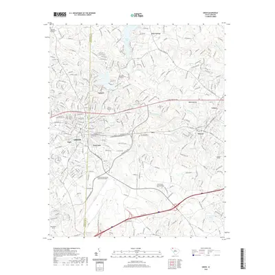
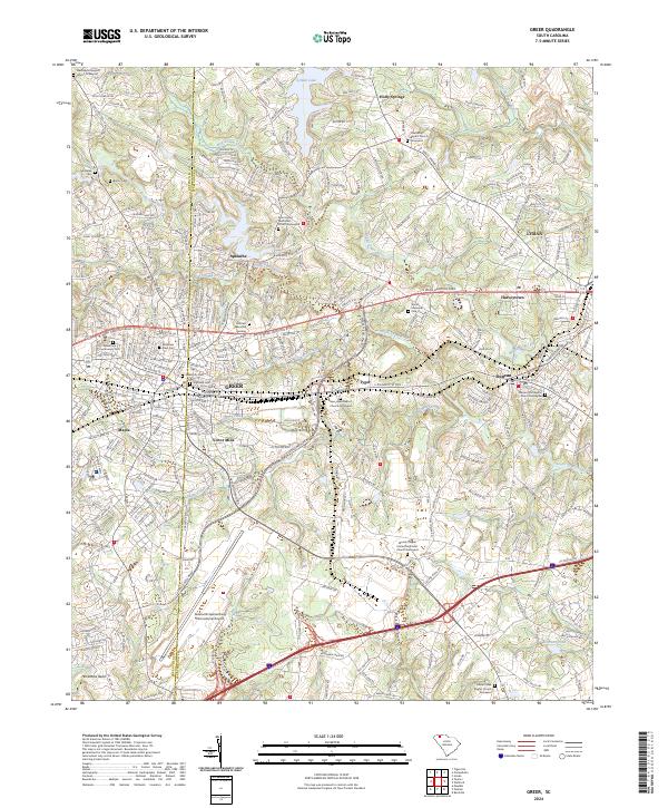 2024 Greer2024 Print · USGSThe Upstate corridor between Greenville and Spartanburg comes into focus during this period of continued growth and industrial legacy. Researchers can trace family sites at Greer City Cem or explore the riverfronts of Apalache and Victor Mills.
 - 2024 Map of Wellford, 2024 Print
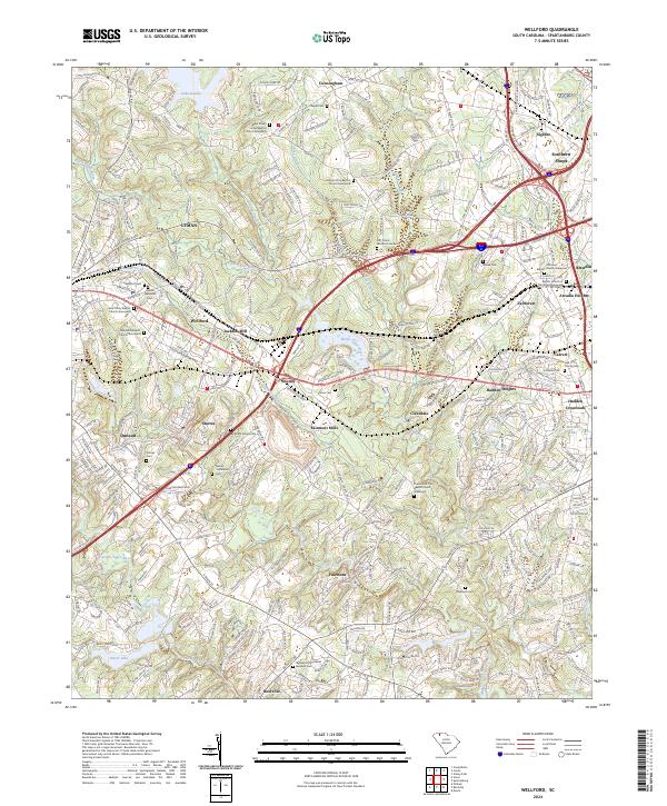 2024 Wellford2024 Print · USGSWestern Spartanburg County comes into focus in this contemporary survey of the Tyger River forks. Researchers can trace the heritage of textile communities at Jackson Mill and Startex or locate family sites at the McElrath Family Cem and Mosse Cem.
End of results
Showing maps 1-20 of 20
Top cities near Lyman
- Greenville historical maps
- Spartanburg historical maps
- Greer historical maps
- Mauldin historical maps
- Simpsonville historical maps
- Wade Hampton historical maps
See more
Top neighborhoods of Lyman
- Pine Ridge Acres historical maps
- The Coutyards At Madsion Creek historical maps
- Crestview Terrace historical maps
- Pacific Mills historical maps
- Plain View Heights historical maps
- Spaulding Place historical maps
See more
Frequently asked questions
- What are the different types of historical maps available for Lyman?
- What is the oldest map of Lyman?
- Where can I purchase historical maps of Lyman for my home or office?
- Where can I download high-res historical maps of Lyman?
- Are there historical topographic maps available for Lyman?
- Is there historical aerial imagery available for Lyman?
- Where are historical maps of Lyman sourced from?