2000s (21st Century) Maps of Woodruff, South Carolina
Explore 15 historic maps of Woodruff from the 2000s (21st Century). These maps offer a rare glimpse into what life looked like during the 2000s — showing old roads, neighborhoods, homes, and landmarks that have changed or disappeared over time.
Whether you're researching your family's past, planning a metal detecting trip, or studying how Woodruff's landscape evolved across the 2000s, these high-resolution maps are a powerful tool for exploring the history of this region.
- Focus on a specific era: All maps on this page are from the 2000s, giving you a focused view of this time period.
- See what’s changed: Compare century-old streets, trails, and buildings to today's modern landscape using overlays and satellite layers.
- Research with precision: Use these maps for genealogy, historical research, land use analysis, or educational projects.
- View, download, or print: Maps are fully viewable online in high resolution, and can be downloaded or printed for your own records.
Start exploring Woodruff's history through authentic maps from the 2000s. This is your window into the past.
Woodruff, SC maps
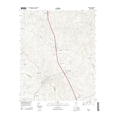
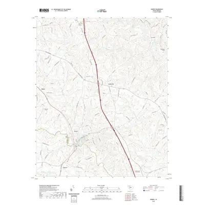
(15)- 2011 Map of Enoree, 2011 Print
 2011 Enoree2011 Print · USGSCovers Woodruff, including Enoree, Evinsville, and other nearby areas
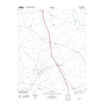
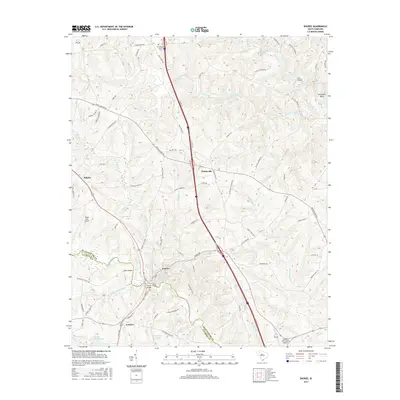
 - 2011 Map of Woodruff, 2011 Print
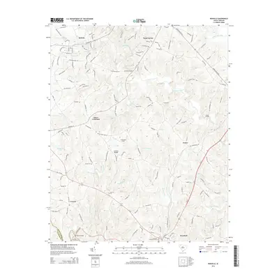
 2011 Woodruff2011 Print · USGSCovers Woodruff, including Martin Crossroads, Youngs, and other nearby areas
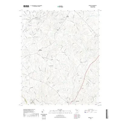
 - 2011 Map of Reidville, 2011 Print
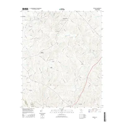
 2011 Reidville2011 Print · USGSCovers Woodruff, including Reidville, Crescent, and other nearby areas
 - 2014 Map of Woodruff, 2014 Print
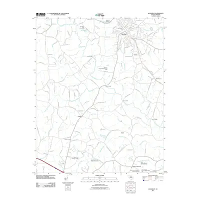
 2014 Woodruff2014 Print · USGSCovers Woodruff, including Martin Crossroads, Youngs, and other nearby areas
 - 2014 Map of Reidville, 2014 Print
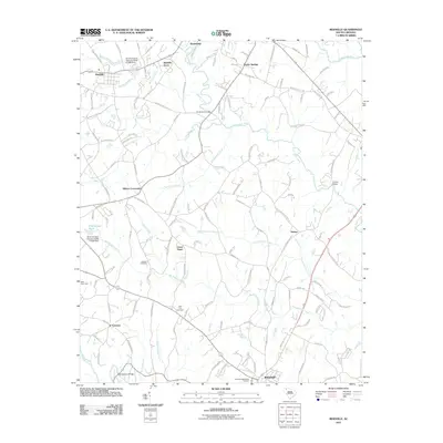
 2014 Reidville2014 Print · USGSCovers Woodruff, including Reidville, Crescent, and other nearby areas
 - 2014 Map of Enoree, 2014 Print
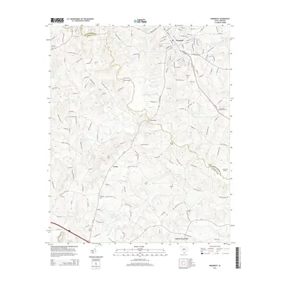
 2014 Enoree2014 Print · USGSCovers Woodruff, including Enoree, Evinsville, and other nearby areas
 - 2017 Map of Reidville, 2017 Print
 2017 Reidville2017 Print · USGSCovers Woodruff, including Reidville, Crescent, and other nearby areas
 - 2017 Map of Woodruff, 2017 Print
 2017 Woodruff2017 Print · USGSCovers Woodruff, including Martin Crossroads, Youngs, and other nearby areas
 - 2017 Map of Enoree, 2017 Print
 2017 Enoree2017 Print · USGSCovers Woodruff, including Enoree, Evinsville, and other nearby areas
 - 2020 Map of Reidville, 2020 Print
 2020 Reidville2020 Print · USGSCovers Woodruff, including Reidville, Crescent, and other nearby areas
 - 2020 Map of Enoree, 2020 Print
 2020 Enoree2020 Print · USGSCovers Woodruff, including Enoree, Evinsville, and other nearby areas
 - 2020 Map of Woodruff, 2020 Print
 2020 Woodruff2020 Print · USGSCovers Woodruff, including Martin Crossroads, Youngs, and other nearby areas
 - 2024 Map of Woodruff, 2024 Print
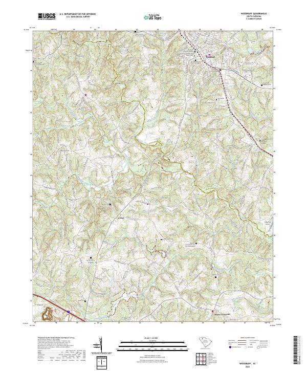 2024 Woodruff2024 Print · USGSWoodruff and the surrounding Spartanburg and Laurens county borderlands are shown here in a recent survey. Researchers can trace family history through a high concentration of sites like Old Bethel Baptist Cem, Wrights Cem, and the river crossing at McKees Ferry.
 - 2024 Map of Enoree, 2024 Print
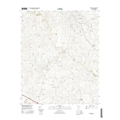
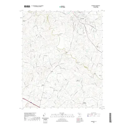
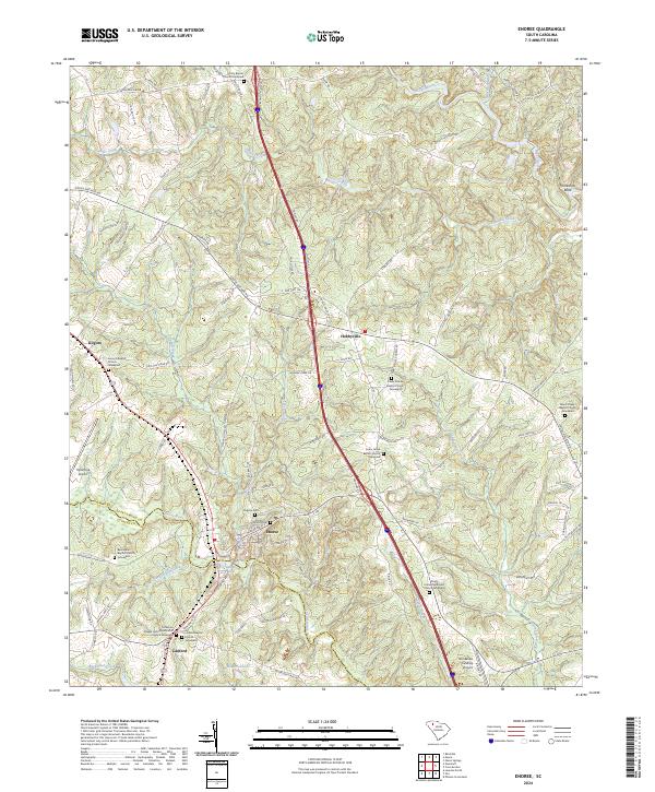 2024 Enoree2024 Print · USGSSoutheastern Spartanburg County and northern Laurens County appear here as a land defined by the winding Enoree River and deep-rooted church communities. Researchers can trace family history through numerous burial sites like Lanford Baptist Church Graveyard and Virginia Cem near the town of Enoree.
 - 2024 Map of Reidville, 2024 Print
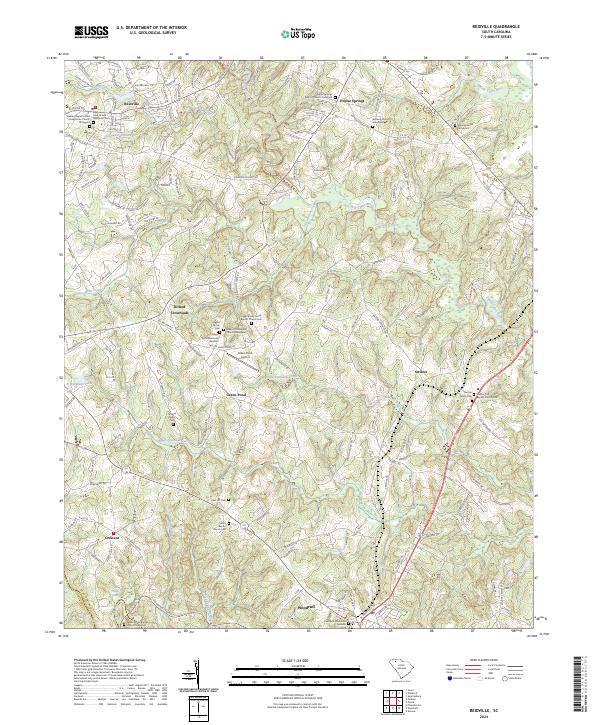 2024 Reidville2024 Print · USGSSpartanburg County communities and family lands come into focus in this recent survey of the South Carolina Piedmont. Genealogists can trace decades of local history through dozens of landmarks like the Switzer Family Cem, Darby Family Cem, and Poplar Springs Baptist Church.
End of results
Showing maps 1-15 of 15
Top cities near Woodruff
- Spartanburg historical maps
- Greer historical maps
- Mauldin historical maps
- Simpsonville historical maps
- Fountain Inn historical maps
- Laurens historical maps
See more
Top neighborhoods of Woodruff
- Georga Manor historical maps
- Tanglewood Acres historical maps
- Barcliff Acres historical maps
- Edgewood Heights historical maps
- Kelly Acres historical maps
- Timberwood Acres historical maps
See more
Frequently asked questions
- What are the different types of historical maps available for Woodruff?
- What is the oldest map of Woodruff?
- Where can I purchase historical maps of Woodruff for my home or office?
- Where can I download high-res historical maps of Woodruff?
- Are there historical topographic maps available for Woodruff?
- Is there historical aerial imagery available for Woodruff?
- Where are historical maps of Woodruff sourced from?