2000s (21st Century) Maps of Pinckney Crossroad, South Carolina
Explore 6 historic maps of Pinckney Crossroad from the 2000s (21st Century). These maps offer a rare glimpse into what life looked like during the 2000s — showing old roads, neighborhoods, homes, and landmarks that have changed or disappeared over time.
Whether you're researching your family's past, planning a metal detecting trip, or studying how Pinckney Crossroad's landscape evolved across the 2000s, these high-resolution maps are a powerful tool for exploring the history of this region.
- Focus on a specific era: All maps on this page are from the 2000s, giving you a focused view of this time period.
- See what’s changed: Compare century-old streets, trails, and buildings to today's modern landscape using overlays and satellite layers.
- Research with precision: Use these maps for genealogy, historical research, land use analysis, or educational projects.
- View, download, or print: Maps are fully viewable online in high resolution, and can be downloaded or printed for your own records.
Start exploring Pinckney Crossroad's history through authentic maps from the 2000s. This is your window into the past.
Pinckney Crossroad, SC maps
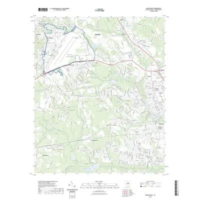
(6)- 2011 Map of Sumter West, 2011 Print
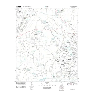 2011 Sumter West2011 Print · USGSCovers Pinckney Crossroad, including Sumter, Summer View, and other nearby areas
 - 2014 Map of Sumter West, 2014 Print
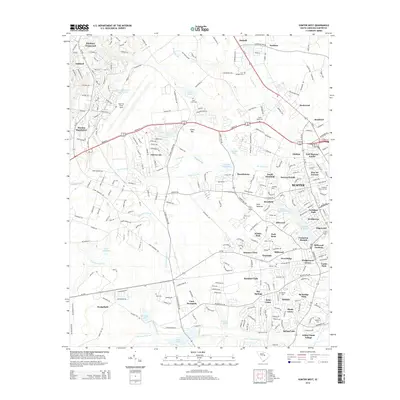 2014 Sumter West2014 Print · USGSCovers Pinckney Crossroad, including Sumter, Summer View, and other nearby areas
 - 2017 Map of Sumter West, 2017 Print
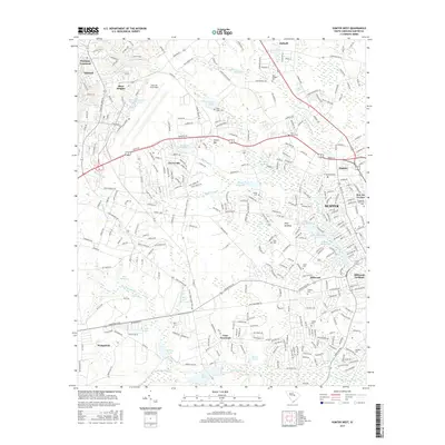 2017 Sumter West2017 Print · USGSCovers Pinckney Crossroad, including Sumter, Summer View, and other nearby areas
 - 2020 Map of Sumter West, 2020 Print
 2020 Sumter West2020 Print · USGSCovers Pinckney Crossroad, including Sumter, Summer View, and other nearby areas
 - 2023 Map of Sumter West, 2023 Print
 2023 Sumter West2023 Print · USGSCovers Pinckney Crossroad, including Sumter, Summer View, and other nearby areas
 - 2024 Map of Sumter West, 2024 Print
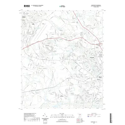
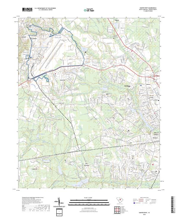 2024 Sumter West2024 Print · USGSSumter and its western outskirts are documented in this recent survey, capturing the modern landscape where military history and traditional southern settlements meet. Genealogists can locate family burial sites at Gadson Cem or Singleton Cem while tracing the old waterworks of Loring Millpond.
End of results
Showing maps 1-6 of 6
Top cities near Pinckney Crossroad
- Columbia historical maps
- Sumter historical maps
- Lugoff historical maps
- Camden historical maps
- Eastover historical maps
Frequently asked questions
- What are the different types of historical maps available for Pinckney Crossroad?
- What is the oldest map of Pinckney Crossroad?
- Where can I purchase historical maps of Pinckney Crossroad for my home or office?
- Where can I download high-res historical maps of Pinckney Crossroad?
- Are there historical topographic maps available for Pinckney Crossroad?
- Is there historical aerial imagery available for Pinckney Crossroad?
- Where are historical maps of Pinckney Crossroad sourced from?