1970s Maps of Gales Township, South Dakota
Explore 4 historic maps of Gales Township from the 1970s. These maps offer a rare glimpse into what life looked like during the 1970s — showing old roads, neighborhoods, homes, and landmarks that have changed or disappeared over time.
Whether you're researching your family's past, planning a metal detecting trip, or studying how Gales Township's landscape evolved across the 1970s, these high-resolution maps are a powerful tool for exploring the history of this region.
- Focus on a specific era: All maps on this page are from the 1970s, giving you a focused view of this time period.
- See what’s changed: Compare century-old streets, trails, and buildings to today's modern landscape using overlays and satellite layers.
- Research with precision: Use these maps for genealogy, historical research, land use analysis, or educational projects.
- View, download, or print: Maps are fully viewable online in high resolution, and can be downloaded or printed for your own records.
Start exploring Gales Township's history through authentic maps from the 1970s. This is your window into the past.
Gales Township, SD maps
(4)- 1979 Map of Cedar Grove Colony, 1980 Print
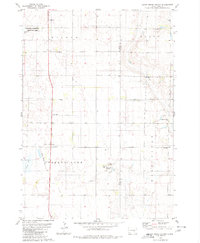 1979 Cedar Grove Colony1980 Print · USGSThe Brule County prairie during the late seventies shows a landscape of established farm colonies and rural parish life. Genealogists can trace family landmarks like Larson Cem and Bulls Cem or local centers like the Cedar Grove Colony and Torrey Lake Sch.
 - 1979 Map of Laffey Lake, 1980 Print
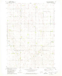 1979 Laffey Lake1980 Print · USGSAurora County's agricultural heartland is documented here in the late seventies, showing the established township grids and prairie waterways. Researchers can trace land divisions across Gales and Center or locate landmarks like Laffey Lake.
 - 1979 Map of White Lake, 1980 Print
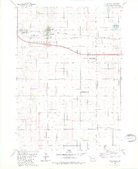 1979 White Lake1980 Print · USGSWhite Lake and the surrounding Aurora County prairie are captured here in the late seventies as a landscape of rail transit and wildlife conservation. Genealogists and historians can trace the Chicago Milwaukee St Paul and Pacific rail line or locate the Crystal Lake Cem near White Lake.
 - 1979 Map of Platte Lake, 1980 Print
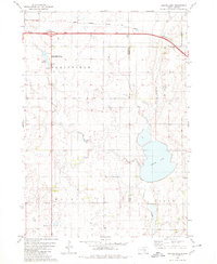 1979 Platte Lake1980 Print · USGSAcross the Brule and Aurora county line in the late seventies, this survey captures a landscape of prairie lakes and transition. Genealogists and historians can trace rural landmarks like the Wilbur Center Sch or the grounds of the Lake Sixteen State Public Shooting Area.
End of results
Showing maps 1-4 of 4
Top cities near Gales Township
Frequently asked questions
- What are the different types of historical maps available for Gales Township?
- What is the oldest map of Gales Township?
- Where can I purchase historical maps of Gales Township for my home or office?
- Where can I download high-res historical maps of Gales Township?
- Are there historical topographic maps available for Gales Township?
- Is there historical aerial imagery available for Gales Township?
- Where are historical maps of Gales Township sourced from?