Old Maps of Truro Township, South Dakota
Explore 26 old maps of Truro Township, spanning from 1899 to today. These high-resolution historic maps reveal how streets, neighborhoods, landmarks, and natural features evolved over time — perfect for genealogy, metal detecting, research, and local history exploration.
What you can do with these maps:
- See how Truro Township changed over time: Compare historical maps to modern-day views to trace roads, homesites, rail lines & more.
- View detailed metadata: Each map includes creators, publishers, year, scale, and archive source.
- Overlay maps with satellite & LiDAR: Visualize the past alongside modern tools to explore terrain & human change.
- Trusted historical sources: Maps sourced from the USGS, Library of Congress, and other archives.
- Access maps your way: View online, download high-res files, or order prints for personal or research use.
Start exploring old maps of Truro Township to uncover forgotten places, hidden landmarks, and the deep history beneath your feet.
Truro Township, SD maps
(26)- 1899 Map of Mitchell
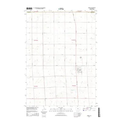
 1899 Mitchell1899 Print · USGSSoutheastern South Dakota is captured during the era of rapid railroad expansion and prairie settlement. Genealogists can trace the early rail stops at Mt. Vernon and Letcher, or locate old watercourses like Enemy Creek and the James River.3 unique versions available
 - 1955 Map of Mitchell, 1973 Print
 1955 Mitchell1973 Print · USGSThe Missouri River valley undergoes a massive transformation in the mid-1950s as the Fort Randall Dam creates Lake Francis Case. You can trace the rail lines of the Chicago Milwaukee St Paul and Pacific through Mitchell or locate local landmarks like Butler Town Hall.2 unique versions available
 - 1959 Map of Mitchell
 1959 Mitchell1959 Print · USGSSouth Dakota’s river and rail corridors come alive in the late fifties as the Missouri River valley undergoes dramatic change. Genealogists and historians can trace family roots through numerous small towns and schools such as Academy, Stickney, and Gregory.2 unique versions available
 - 1979 Map of New Holland, 1980 Print
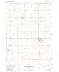
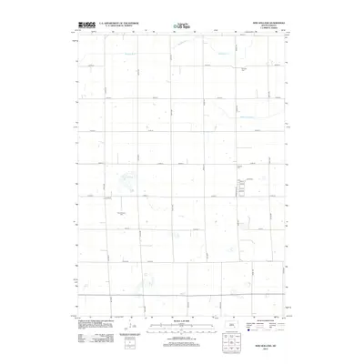
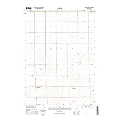
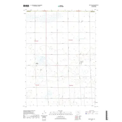
 1979 New Holland1980 Print · USGSDouglas County farm country is captured here in the late seventies, showing the established communities of New Holland and Harrison. Researchers can trace local roots at Ebenezer Ch or locate the Markus Sch and Beukelman Sch schoolhouses.
 - 1979 Map of Aurora Center, 1980 Print
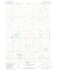
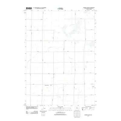
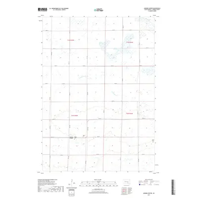
 1979 Aurora Center1980 Print · USGSAurora County's prairie landscape in the late 1970s is defined by its vast public shooting areas and scattered wetlands. Researchers can locate the Quaker Cem, explore the shores of Crystal Lake, and trace the small community of Aurora Center.
 - 1980 Map of Stickney
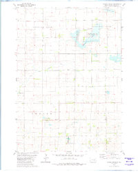
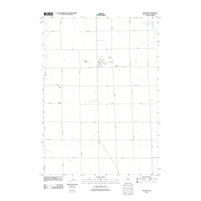
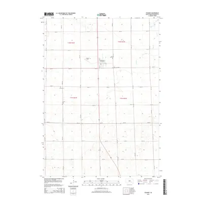
 1980 Stickney1980 Print · USGSStickney and its surrounding townships are documented here during the early 1980s, showcasing a classic South Dakota agricultural landscape. Family historians can locate several local burial grounds like Silver Ridge Cem and Old St Paul Cem, or trace the course of Enemy creek.
 - 1980 Map of Corsica, 1981 Print
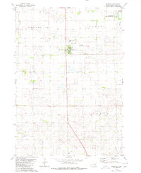
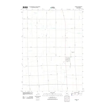
 1980 Corsica1981 Print · USGSSouth Dakota's prairie landscape near Corsica is captured here during the late twentieth century. Genealogists and local historians can trace the town's development through Graceland Cem, the local Townhall, and the extensive National Waterfowl Production Area.
 - 1986 Map of Mitchell
 1986 Mitchell1986 Print · USGSMitchell and the surrounding prairie towns are documented in the mid-1980s as the regional rail and agricultural network matured. Genealogists can locate specific sites like the State Training Sch, Aurora Center, and the Cedar Grove Colony.2 unique versions available
 - 1986 Map of Lake Andes
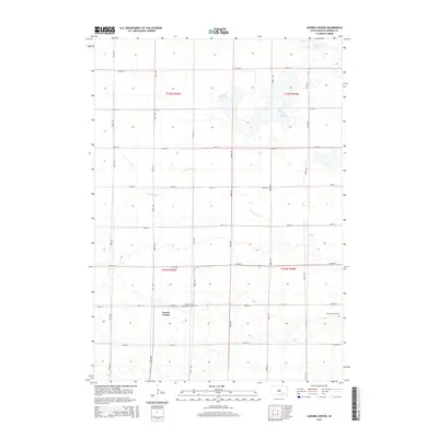
 1986 Lake Andes1986 Print · USGSThe Yankton Indian Reservation and the vast Missouri River impoundments define this South Dakota landscape in the mid-eighties. Researchers can trace old township lines and the Old Railroad Grade, or locate sites like Fort Randall and the Pleasant Ridge Cem.3 unique versions available
 - 1990 Map of Mitchell, 1991 Print
 1990 Mitchell1991 Print · USGSThe Missouri River and the surrounding South Dakota plains are captured here in the early nineties, showing a landscape shaped by water and wire. Genealogists and historians can trace the gridded townships from Mitchell to the Bijou Hills, locating sites like the Platte Colony and Academy.
 - 2012 Map of Aurora Center, 2012 Print
 2012 Aurora Center2012 Print · USGSCovers Truro Township, including Crystal Lake Township, Pleasant Lake Township, and other nearby areas
 - 2012 Map of Stickney, 2012 Print
 2012 Stickney2012 Print · USGSCovers Truro Township, including Stickney, Pleasant Lake Township, and other nearby areas
 - 2012 Map of Corsica, 2012 Print
 2012 Corsica2012 Print · USGSCovers Truro Township, including Corsica, Holland Township, and other nearby areas
 - 2012 Map of New Holland, 2012 Print
 2012 New Holland2012 Print · USGSCovers Truro Township, including Holland Township, Harrison, and other nearby areas
 - 2015 Map of Corsica, 2015 Print
 2015 Corsica2015 Print · USGSCovers Truro Township, including Corsica, Holland Township, and other nearby areas
 - 2015 Map of Aurora Center, 2015 Print
 2015 Aurora Center2015 Print · USGSCovers Truro Township, including Crystal Lake Township, Pleasant Lake Township, and other nearby areas
 - 2015 Map of New Holland, 2015 Print
 2015 New Holland2015 Print · USGSCovers Truro Township, including Holland Township, Harrison, and other nearby areas
 - 2015 Map of Stickney, 2015 Print
 2015 Stickney2015 Print · USGSCovers Truro Township, including Stickney, Pleasant Lake Township, and other nearby areas
 - 2017 Map of New Holland, 2017 Print
 2017 New Holland2017 Print · USGSCovers Truro Township, including Holland Township, Harrison, and other nearby areas
 - 2017 Map of Aurora Center, 2017 Print
 2017 Aurora Center2017 Print · USGSCovers Truro Township, including Crystal Lake Township, Pleasant Lake Township, and other nearby areas
 - 2017 Map of Stickney, 2017 Print
 2017 Stickney2017 Print · USGSCovers Truro Township, including Stickney, Pleasant Lake Township, and other nearby areas
 - 2017 Map of Corsica, 2017 Print
 2017 Corsica2017 Print · USGSCovers Truro Township, including Corsica, Holland Township, and other nearby areas
 - 2021 Map of Aurora Center, 2021 Print
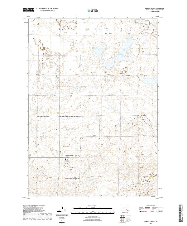 2021 Aurora Center2021 Print · USGSAurora County in the early 2020s remains a landscape defined by its agricultural grid and the small settlement of Aurora Center. Genealogists and local historians can locate the Aurora Center Cem and Quaker Cem or trace the path of the E Fork Platte Cr.
 - 2021 Map of Corsica, 2021 Print
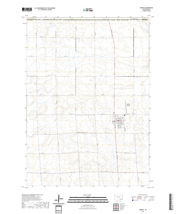 2021 Corsica2021 Print · USGSDouglas County agriculture and the community of Corsica define this South Dakota landscape in the early 2020s. Researchers can trace local homesteads and family history through the town's street grid, Graceland Cem, and the path of Choteau Cr.
 - 2021 Map of Stickney, 2021 Print
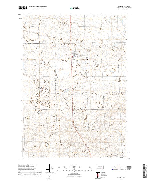 2021 Stickney2021 Print · USGSThe rural prairie around Stickney is documented here in the early twenty-first century, showing a landscape defined by agriculture and community history. Researchers can locate several burial grounds including Silver Ridge Cem and Old Saint Paul Cem or trace the course of Enemy Cr.
Showing maps 1-25 of 26
Top cities near Truro Township
- Armour historical maps
- Corsica historical maps
- Plankinton historical maps
- White Lake historical maps
- Stickney historical maps
- Joubert historical maps
Frequently asked questions
- What are the different types of historical maps available for Truro Township?
- What is the oldest map of Truro Township?
- Where can I purchase historical maps of Truro Township for my home or office?
- Where can I download high-res historical maps of Truro Township?
- Are there historical topographic maps available for Truro Township?
- Is there historical aerial imagery available for Truro Township?
- Where are historical maps of Truro Township sourced from?