Old Maps of Washington Township, South Dakota for Academic Research
Study the evolution of Washington Township with 25 high-resolution historic maps. Whether you're teaching, researching, or modeling changes in land use, these maps provide essential visual documentation of urban, environmental, and geographic change.
- Analyze long-term change: Track patterns in development, transportation, and natural features.
- Ideal for environmental or urban studies: Support academic projects with primary historical map data.
- Use in the classroom or lab: Educators and researchers rely on these maps to bring historical context to life.
These maps are a powerful tool for teaching, research, and visualizing how Washington Township has changed over the decades.
Washington Township, SD maps
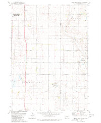
(25)- 1955 Map of Mitchell, 1973 Print
 1955 Mitchell1973 Print · USGSThe Missouri River valley undergoes a massive transformation in the mid-1950s as the Fort Randall Dam creates Lake Francis Case. You can trace the rail lines of the Chicago Milwaukee St Paul and Pacific through Mitchell or locate local landmarks like Butler Town Hall.2 unique versions available
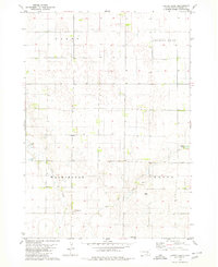
 - 1959 Map of Mitchell
 1959 Mitchell1959 Print · USGSSouth Dakota’s river and rail corridors come alive in the late fifties as the Missouri River valley undergoes dramatic change. Genealogists and historians can trace family roots through numerous small towns and schools such as Academy, Stickney, and Gregory.2 unique versions available
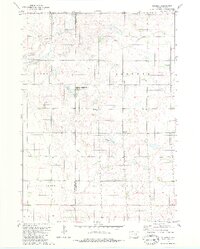
 - 1979 Map of Cedar Grove Colony, 1980 Print
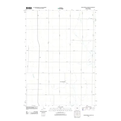
 1979 Cedar Grove Colony1980 Print · USGSThe Brule County prairie during the late seventies shows a landscape of established farm colonies and rural parish life. Genealogists can trace family landmarks like Larson Cem and Bulls Cem or local centers like the Cedar Grove Colony and Torrey Lake Sch.
 - 1979 Map of Laffey Lake, 1980 Print
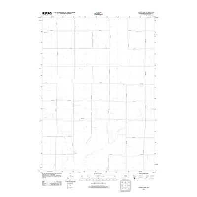
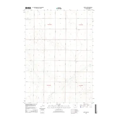
 1979 Laffey Lake1980 Print · USGSAurora County's agricultural heartland is documented here in the late seventies, showing the established township grids and prairie waterways. Researchers can trace land divisions across Gales and Center or locate landmarks like Laffey Lake.
 - 1979 Map of Joubert, 1980 Print
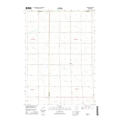
 1979 Joubert1980 Print · USGSThe rural prairie of Douglas and Aurora counties is captured here in the late seventies, showing a landscape shaped by agriculture and water management. Researchers can locate the Clark-Joubert Sch, the Townhall, and conserved lands in the National Waterfowl Production Area.
 - 1979 Map of Platte, 1980 Print
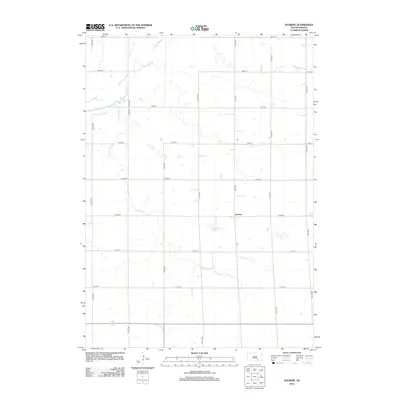
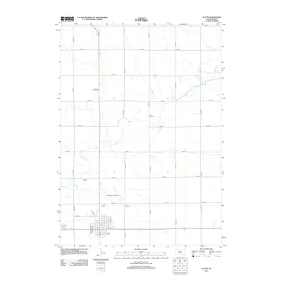
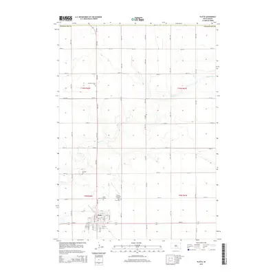
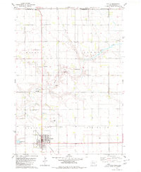 1979 Platte1980 Print · USGSCharles Mix County thrived as a railroad-anchored agricultural center during the late seventies. Genealogists and local historians can trace the foundations of the community through sites like Platte, the C M St P & P rail line, and the Swedish Lutheran Cem.
 - 1986 Map of Mitchell
 1986 Mitchell1986 Print · USGSMitchell and the surrounding prairie towns are documented in the mid-1980s as the regional rail and agricultural network matured. Genealogists can locate specific sites like the State Training Sch, Aurora Center, and the Cedar Grove Colony.2 unique versions available
 - 1986 Map of Lake Andes
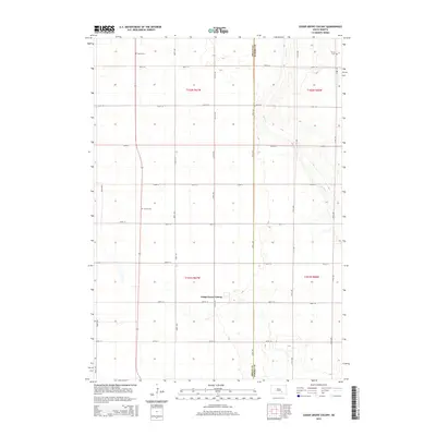
 1986 Lake Andes1986 Print · USGSThe Yankton Indian Reservation and the vast Missouri River impoundments define this South Dakota landscape in the mid-eighties. Researchers can trace old township lines and the Old Railroad Grade, or locate sites like Fort Randall and the Pleasant Ridge Cem.3 unique versions available
 - 1990 Map of Mitchell, 1991 Print
 1990 Mitchell1991 Print · USGSThe Missouri River and the surrounding South Dakota plains are captured here in the early nineties, showing a landscape shaped by water and wire. Genealogists and historians can trace the gridded townships from Mitchell to the Bijou Hills, locating sites like the Platte Colony and Academy.
 - 2012 Map of Joubert, 2012 Print
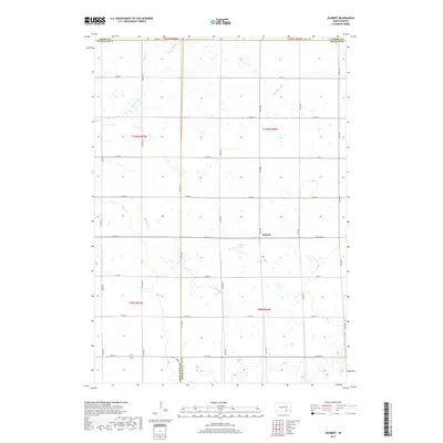
 2012 Joubert2012 Print · USGSCovers Washington Township, including Joubert, Darlington Township, and other nearby areas
 - 2012 Map of Laffey Lake, 2012 Print
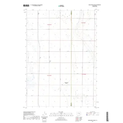
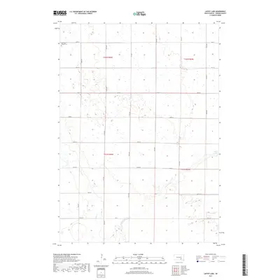
 2012 Laffey Lake2012 Print · USGSCovers Washington Township, including Crystal Lake Township, Center Township, and other nearby areas
 - 2012 Map of Cedar Grove Colony, 2012 Print
 2012 Cedar Grove Colony2012 Print · USGSCovers Washington Township, including Torrey Lake Township, Cedar Grove Hutterite Colony, and other nearby areas
 - 2012 Map of Platte, 2012 Print
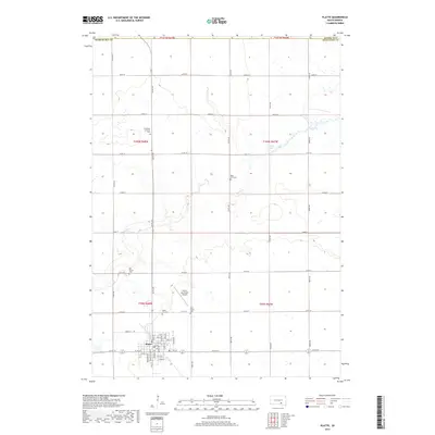
 2012 Platte2012 Print · USGSCovers Washington Township, including Platte, Torrey Lake Township, and other nearby areas
 - 2015 Map of Cedar Grove Colony, 2015 Print
 2015 Cedar Grove Colony2015 Print · USGSCovers Washington Township, including Torrey Lake Township, Cedar Grove Hutterite Colony, and other nearby areas
 - 2015 Map of Laffey Lake, 2015 Print
 2015 Laffey Lake2015 Print · USGSCovers Washington Township, including Crystal Lake Township, Center Township, and other nearby areas
 - 2015 Map of Joubert, 2015 Print
 2015 Joubert2015 Print · USGSCovers Washington Township, including Joubert, Darlington Township, and other nearby areas
 - 2015 Map of Platte, 2015 Print
 2015 Platte2015 Print · USGSCovers Washington Township, including Platte, Torrey Lake Township, and other nearby areas
 - 2017 Map of Cedar Grove Colony, 2017 Print
 2017 Cedar Grove Colony2017 Print · USGSCovers Washington Township, including Torrey Lake Township, Cedar Grove Hutterite Colony, and other nearby areas
 - 2017 Map of Platte, 2017 Print
 2017 Platte2017 Print · USGSCovers Washington Township, including Platte, Torrey Lake Township, and other nearby areas
 - 2017 Map of Joubert, 2017 Print
 2017 Joubert2017 Print · USGSCovers Washington Township, including Joubert, Darlington Township, and other nearby areas
 - 2017 Map of Laffey Lake, 2017 Print
 2017 Laffey Lake2017 Print · USGSCovers Washington Township, including Crystal Lake Township, Center Township, and other nearby areas
 - 2021 Map of Laffey Lake, 2021 Print
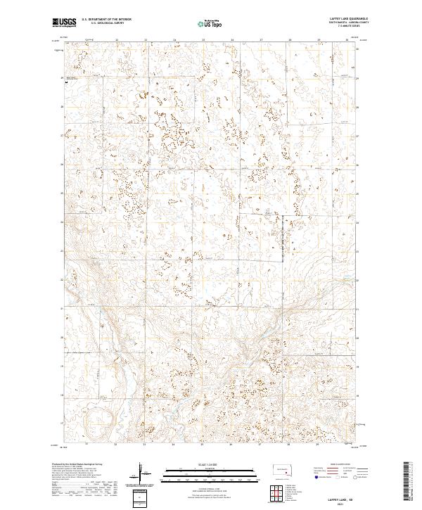 2021 Laffey Lake2021 Print · USGSAurora County's prairie landscape is documented here in the early twenty-first century, showing a traditional agrarian grid defined by water and history. Genealogists and local historians can locate Saint Johns Lutheran Cem or trace the drainages of Platte Cr and Laffey Lake.
 - 2021 Map of Cedar Grove Colony, 2021 Print
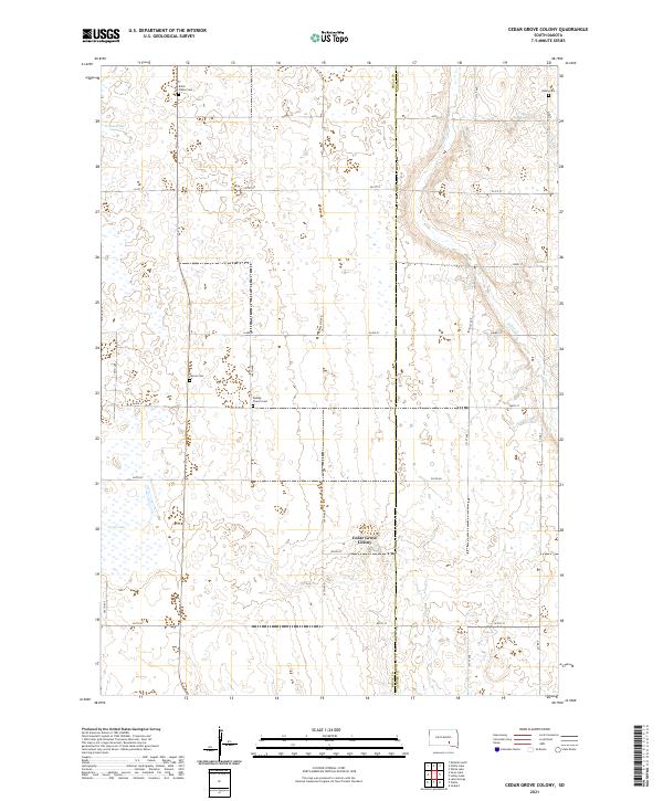 2021 Cedar Grove Colony2021 Print · USGSBrule and Aurora counties are shown in the early 2020s as a landscape of rural homesteads and agricultural colonies. Genealogists can trace family heritage through local burial sites like Bullis Wilbur Cem, Larson Cem, and Dunlap Church Cem.
 - 2021 Map of Joubert, 2021 Print
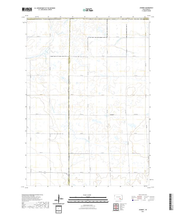 2021 Joubert2021 Print · USGSDouglas County farming life is captured here in the 2020s, centered on the historic crossroads of Joubert. Researchers can trace the sophisticated water management of the prairie through named features like Sluiter Drain and the E Fork Platte Cr.
 - 2021 Map of Platte, 2021 Print
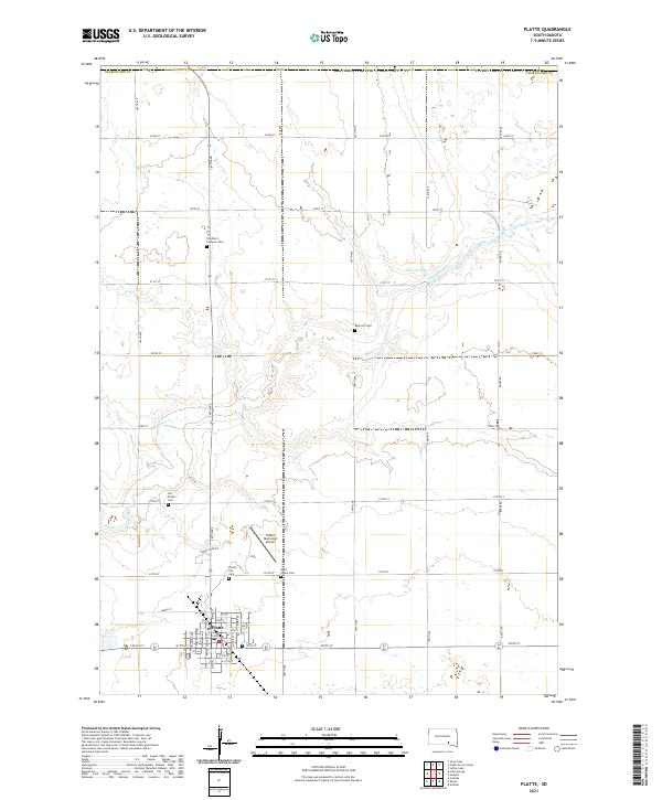 2021 Platte2021 Print · USGSSouth Dakota's prairie landscape in Charles Mix County is defined here by the established town grid of Platte and its network of section-line roads. Genealogists can trace family history at the Old Platte Cem, Rock Hill Cem, or Friedhem Lutheran Cem.
End of results
Showing maps 1-25 of 25
Top cities near Washington Township
Frequently asked questions
- What are the different types of historical maps available for Washington Township?
- What is the oldest map of Washington Township?
- Where can I purchase historical maps of Washington Township for my home or office?
- Where can I download high-res historical maps of Washington Township?
- Are there historical topographic maps available for Washington Township?
- Is there historical aerial imagery available for Washington Township?
- Where are historical maps of Washington Township sourced from?