Old Maps of White Lake Township, South Dakota for Hiking & Exploration
Hike through history with 27 historic maps of White Lake Township. Explore old trails, ghost towns, and forgotten backroads — perfect for outdoor adventurers and local explorers.
- Rediscover forgotten places: Map out old mining camps, roads, and footpaths that no longer exist on modern maps.
- Layer with modern tools: Combine with LiDAR or satellite views to plan hikes through historical terrain.
- Made for exploration: Popular among hikers, overlanders, and local history lovers.
Use these maps to find adventure and explore the hidden past of White Lake Township.
White Lake Township, SD maps
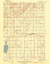
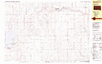
(27)- 1941 Map of Kimball North
 1941 Kimball North1941 Print · USGSBrule County's agricultural heartland is documented here on the eve of the Second World War, showing a landscape defined by rail and rural schools. Genealogists can trace family footprints near Kimball or locate specific country schools like Fagerhaug Sch and Brooks Sch.
 - 1942 Map of Crow Lake
 1942 Crow Lake1942 Print · USGSThe South Dakota prairie of Jerauld and Aurora Counties is captured here in the early 1940s, showing a landscape defined by small townships and artesian wells. Genealogists can trace a dense network of rural landmarks, including Underwood Ch, Union Cem, and numerous schoolhouses like Willow Bend Sch.3 unique versions available
 - 1951 Map of Kimball North, 1953 Print
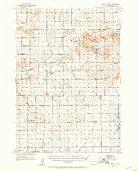 1951 Kimball North1953 Print · USGSBrule County and the surrounding prairie are captured here in the early fifties, showing a landscape defined by small-town life and rural school districts. Genealogists can locate family landmarks like Lyonville, Crow Lake Ch, and the Brooks Sch.
 - 1955 Map of Mitchell, 1973 Print
 1955 Mitchell1973 Print · USGSThe Missouri River valley undergoes a massive transformation in the mid-1950s as the Fort Randall Dam creates Lake Francis Case. You can trace the rail lines of the Chicago Milwaukee St Paul and Pacific through Mitchell or locate local landmarks like Butler Town Hall.2 unique versions available
 - 1959 Map of Mitchell
 1959 Mitchell1959 Print · USGSSouth Dakota’s river and rail corridors come alive in the late fifties as the Missouri River valley undergoes dramatic change. Genealogists and historians can trace family roots through numerous small towns and schools such as Academy, Stickney, and Gregory.2 unique versions available
 - 1979 Map of White Lake, 1980 Print
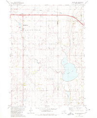
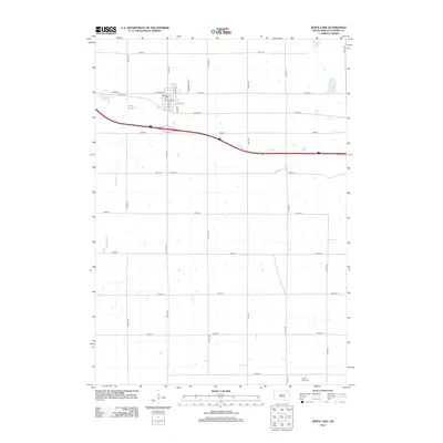
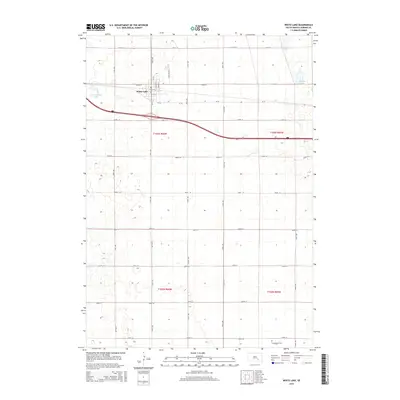
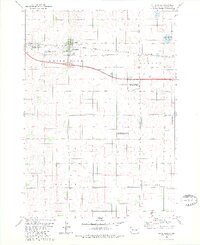 1979 White Lake1980 Print · USGSWhite Lake and the surrounding Aurora County prairie are captured here in the late seventies as a landscape of rail transit and wildlife conservation. Genealogists and historians can trace the Chicago Milwaukee St Paul and Pacific rail line or locate the Crystal Lake Cem near White Lake.
 - 1979 Map of Platte Lake, 1980 Print
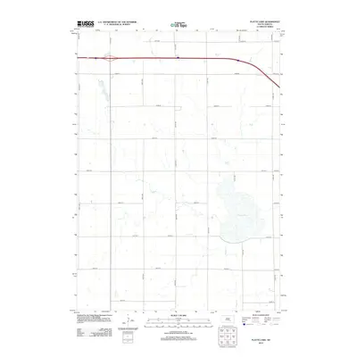
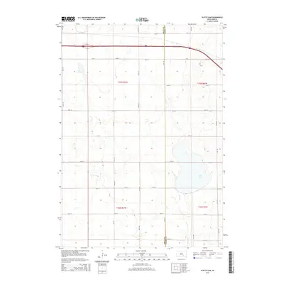
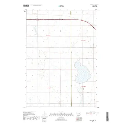
 1979 Platte Lake1980 Print · USGSAcross the Brule and Aurora county line in the late seventies, this survey captures a landscape of prairie lakes and transition. Genealogists and historians can trace rural landmarks like the Wilbur Center Sch or the grounds of the Lake Sixteen State Public Shooting Area.
 - 1982 Map of Wilmarth Lake, 1983 Print
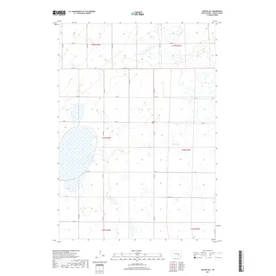
 1982 Wilmarth Lake1983 Print · USGSAurora County’s wetland and prairie landscapes are captured in the early eighties, showcasing a region dedicated to conservation and agriculture. Researchers can trace the water levels and boundaries of Wilmarth Lake, Shottenkirk Lake, and the National Waterfowl Production Area.
 - 1982 Map of Kimball North, 1983 Print
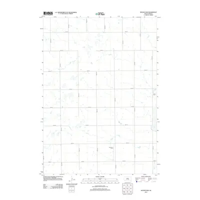
 1982 Kimball North1983 Print · USGSThe Brule County prairie during the early eighties shows a landscape of established townships and extensive conservation lands. Trace the development of Kimball and the borders of the National Waterfowl Production Area near Willow Lake.
 - 1986 Map of Mitchell
 1986 Mitchell1986 Print · USGSMitchell and the surrounding prairie towns are documented in the mid-1980s as the regional rail and agricultural network matured. Genealogists can locate specific sites like the State Training Sch, Aurora Center, and the Cedar Grove Colony.2 unique versions available
 - 1990 Map of Mitchell, 1991 Print
 1990 Mitchell1991 Print · USGSThe Missouri River and the surrounding South Dakota plains are captured here in the early nineties, showing a landscape shaped by water and wire. Genealogists and historians can trace the gridded townships from Mitchell to the Bijou Hills, locating sites like the Platte Colony and Academy.
 - 2012 Map of Archer Hill, 2012 Print
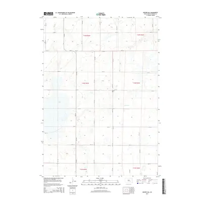
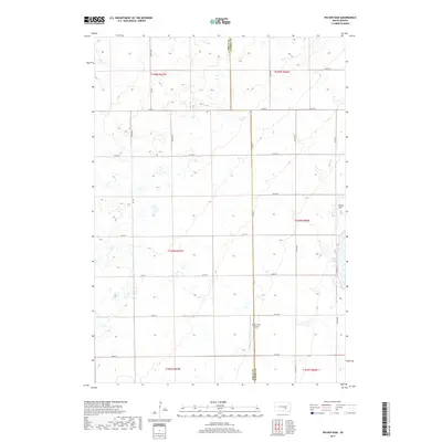
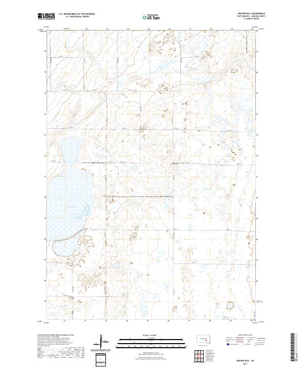
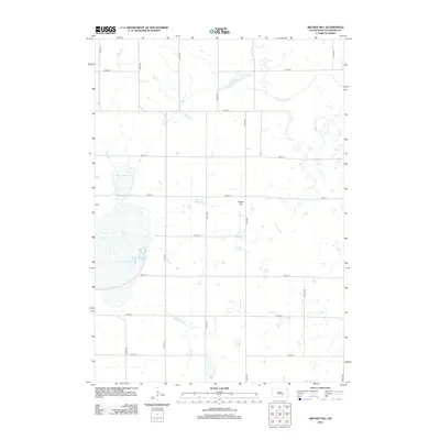 2012 Archer Hill2012 Print · USGSCovers White Lake Township, including Patten Township, Pleasant Valley Township, and other nearby areas
 - 2012 Map of Platte Lake, 2012 Print
 2012 Platte Lake2012 Print · USGSCovers White Lake Township, including Wilbur Township, Plainfield Township, and other nearby areas
 - 2012 Map of White Lake, 2012 Print
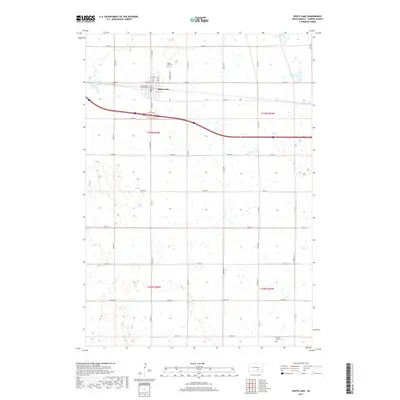
 2012 White Lake2012 Print · USGSCovers White Lake Township, including White Lake, Eureka Township, and other nearby areas
 - 2012 Map of Wilson Dam, 2012 Print
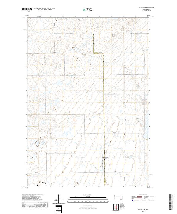
 2012 Wilson Dam2012 Print · USGSCovers White Lake Township, including Patten Township, Lake Township, and other nearby areas
 - 2015 Map of Archer Hill, 2015 Print
 2015 Archer Hill2015 Print · USGSCovers White Lake Township, including Patten Township, Pleasant Valley Township, and other nearby areas
 - 2015 Map of Wilson Dam, 2015 Print
 2015 Wilson Dam2015 Print · USGSCovers White Lake Township, including Patten Township, Lake Township, and other nearby areas
 - 2015 Map of White Lake, 2015 Print
 2015 White Lake2015 Print · USGSCovers White Lake Township, including White Lake, Eureka Township, and other nearby areas
 - 2015 Map of Platte Lake, 2015 Print
 2015 Platte Lake2015 Print · USGSCovers White Lake Township, including Wilbur Township, Plainfield Township, and other nearby areas
 - 2017 Map of Wilson Dam, 2017 Print
 2017 Wilson Dam2017 Print · USGSCovers White Lake Township, including Patten Township, Lake Township, and other nearby areas
 - 2017 Map of White Lake, 2017 Print
 2017 White Lake2017 Print · USGSCovers White Lake Township, including White Lake, Eureka Township, and other nearby areas
 - 2017 Map of Archer Hill, 2017 Print
 2017 Archer Hill2017 Print · USGSCovers White Lake Township, including Patten Township, Pleasant Valley Township, and other nearby areas
 - 2017 Map of Platte Lake, 2017 Print
 2017 Platte Lake2017 Print · USGSCovers White Lake Township, including Wilbur Township, Plainfield Township, and other nearby areas
 - 2021 Map of Archer Hill, 2021 Print
 2021 Archer Hill2021 Print · USGSAurora County prairie and wetlands are documented here in the early twenty-first century, showcasing the region's agricultural grid. Map collectors and researchers can trace the shoreline of White Lake and the natural elevations of Archer Hill alongside rural routes like Co Rd 12.
 - 2021 Map of Wilson Dam, 2021 Print
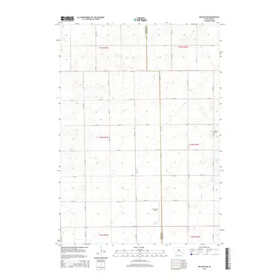
 2021 Wilson Dam2021 Print · USGSRural South Dakota at the start of the 2020s shows a landscape defined by its section-line roads and prairie potholes. Researchers can locate family lands along 371st Ave or trace the area around Drake Farm Airport and Wilson Dam.
Showing maps 1-25 of 27
Top cities near White Lake Township
Top neighborhoods of White Lake Township
Frequently asked questions
- What are the different types of historical maps available for White Lake Township?
- What is the oldest map of White Lake Township?
- Where can I purchase historical maps of White Lake Township for my home or office?
- Where can I download high-res historical maps of White Lake Township?
- Are there historical topographic maps available for White Lake Township?
- Is there historical aerial imagery available for White Lake Township?
- Where are historical maps of White Lake Township sourced from?