Old Maps of Spring Grove, Big Course District for Genealogy
Trace your family roots with 8 historic maps of Spring Grove. These high-res maps reveal old neighborhoods, homesites, landmarks, and streets — helping you uncover where your ancestors lived and how the area evolved over time.
- Explore historic neighborhoods: Identify where your relatives may have lived in the 1800s or 1900s.
- Compare maps over time: Trace the changes in streets, buildings, and landmarks for multi-generational research.
- Perfect for genealogy & ancestry research: Used by family historians and researchers to map out lineage and migration.
These maps are an incredible resource for exploring your personal connection to Spring Grove's past.
Spring Grove, Big Course District maps
(8)- 1953 Map of Milbank, 1958 Print
 1953 Milbank1958 Print · USGSThe tri-state border region of South Dakota, North Dakota, and Minnesota is shown here during the early fifties, a landscape defined by glacial lakes and the Sisseton Indian Reservation. Researchers can trace the legacy of the western railroads, locating old stops along the Great Northern and settlements like Milbank, Webster, and Sisseton.3 unique versions available
 - 1958 Map of Milbank
 1958 Milbank1958 Print · USGSThe northern Great Plains in the late fifties show a landscape of glacial lakes and reservation lands shaped by the Great Northern railroad. Genealogists and local historians can trace the grid of settlements from Britton to Milbank and locate landmarks like Enemy Swim Lake and the Sisseton Indian Reservation.
 - 1970 Map of Summit NE, 1973 Print
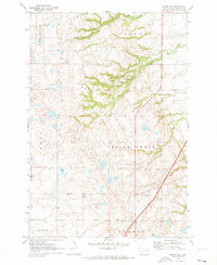 1970 Summit NE1973 Print · USGSNortheastern Roberts County in the early seventies reveals a landscape of glacial coulees and scattered prairie lakes. Genealogists can locate Old Ascension Cem and Ascension Ch near the deep drainage of Big Coulee.
 - 1985 Map of Webster
 1985 Webster1985 Print · USGSNortheastern South Dakota in the mid-eighties reveals a landscape of prairie potholes and rail-line towns centered on the Webster region. Genealogists and historians can trace rail-town development along the Burlington Northern and find early conservation boundaries like the Waubay National Wildlife Refuge.2 unique versions available
 - 2012 Map of Summit NE, 2012 Print
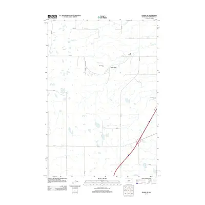 2012 Summit NE2012 Print · USGSCovers Spring Grove, including Old Agency District, Enemy Swim District, and other nearby areas
 - 2015 Map of Summit NE, 2015 Print
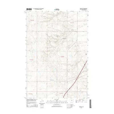 2015 Summit NE2015 Print · USGSCovers Spring Grove, including Old Agency District, Enemy Swim District, and other nearby areas
 - 2017 Map of Summit NE, 2017 Print
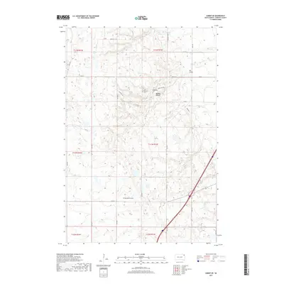 2017 Summit NE2017 Print · USGSCovers Spring Grove, including Old Agency District, Enemy Swim District, and other nearby areas
 - 2021 Map of Summit NE, 2021 Print
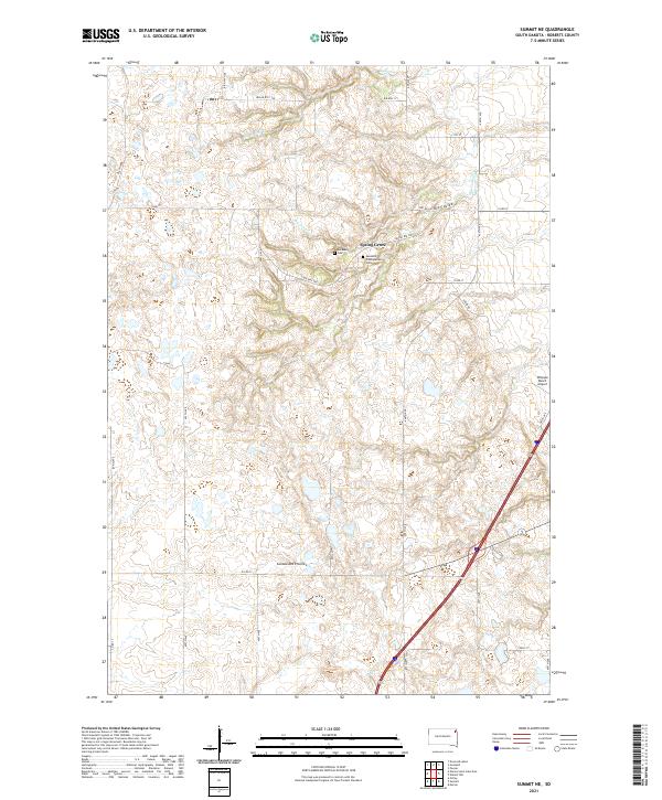 2021 Summit NE2021 Print · USGSRoberts County's prairie plateau is documented here in the early twenty-first century, showing a landscape shaped by glacial geology and tribal heritage. Researchers can locate the Old Ascension Cem, the settlement at Spring Grove, and natural landmarks like Big Coulee.
End of results
Showing maps 1-8 of 8
Top cities near Spring Grove
- Sisseton historical maps
- Goodwill historical maps
- Browns Valley historical maps
- Wilmot historical maps
- Summit historical maps
- Peever historical maps
See more
Frequently asked questions
- What are the different types of historical maps available for Spring Grove?
- What is the oldest map of Spring Grove?
- Where can I purchase historical maps of Spring Grove for my home or office?
- Where can I download high-res historical maps of Spring Grove?
- Are there historical topographic maps available for Spring Grove?
- Is there historical aerial imagery available for Spring Grove?
- Where are historical maps of Spring Grove sourced from?