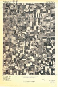
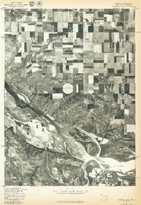
1970s Maps of Bon Homme County, South Dakota
Explore 17 historic maps of Bon Homme County from the 1970s. These maps offer a rare glimpse into what life looked like during the 1970s — showing old roads, neighborhoods, homes, and landmarks that have changed or disappeared over time.
Whether you're researching your family's past, planning a metal detecting trip, or studying how Bon Homme County's landscape evolved across the 1970s, these high-resolution maps are a powerful tool for exploring the history of this region.
- Focus on a specific era: All maps on this page are from the 1970s, giving you a focused view of this time period.
- See what’s changed: Compare century-old streets, trails, and buildings to today's modern landscape using overlays and satellite layers.
- Research with precision: Use these maps for genealogy, historical research, land use analysis, or educational projects.
- View, download, or print: Maps are fully viewable online in high resolution, and can be downloaded or printed for your own records.
Start exploring Bon Homme County's history through authentic maps from the 1970s. This is your window into the past.
Bon Homme County, SD maps
(17)- 1974 Map of Bon Homme Colony, 1979 Print
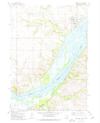
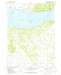 1974 Bon Homme Colony1979 Print · USGSThe Missouri River and Lewis and Clark Lake define this borderland during the mid-seventies, spanning the South Dakota and Nebraska state line. Researchers can trace the Bon Homme Colony, locate the Holy Faith Cem, and explore the topography of the Santee Indian Reservation.
 - 1977 Map of Oak Hollow
 1977 Oak Hollow1977 Print · USGSHutchinson County farmland is captured in sharp aerial detail during the late seventies, showing the precise layout of local agriculture. Genealogists and historians can locate specific farmsteads and water features like Tripp Lake and the drainage of Oak Hollow.
 - 1977 Map of Niobrara
 1977 Niobrara1977 Print · USGSThe Nebraska-South Dakota borderlands come into focus in the late seventies, showing the dramatic confluence of the Niobrara River and Missouri River. Researchers can trace the layout of Niobrara and the varied agricultural patterns near Perkins.
 - 1977 Map of Springfield, 1979 Print
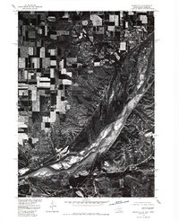 1977 Springfield1979 Print · USGSNear the South Dakota and Nebraska border in the late seventies, this aerial survey captures the town of Springfield perched above the river bluffs. Researchers can trace the mid-century channel of the Missouri River and examine the local layout of rural roads and homesteads.
 - 1978 Map of Tripp SE
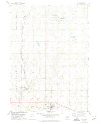
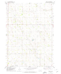 1978 Tripp SE1978 Print · USGSBon Homme County farm country is captured here in the late seventies, showing the transition between established townships. Genealogists can locate family burial sites at the Bohemian National Cem or trace rural education at Blaha Sch and Nedved Sch.
 - 1978 Map of Santee
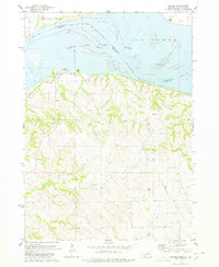 1978 Santee1978 Print · USGSThe Missouri River borderlands of Nebraska and South Dakota are captured here in the late seventies. Researchers can trace the Santee Indian Res Bdy and locate local landmarks like the Santee Recreation Area, Sand Islands, and several upland cemeteries.
 - 1978 Map of Kloucek Lake, 1979 Print
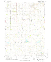 1978 Kloucek Lake1979 Print · USGSBon Homme and Yankton counties appear in the late 1970s as a well-ordered landscape of section-line roads and family farms. Researchers can trace the legacy of early settlers at Ebenezer Cem and Reform Cem, or follow the diagonal route of the Chicago Milwaukee St Paul and Pacific railroad.
 - 1978 Map of Oak Hollow, 1979 Print
 1978 Oak Hollow1979 Print · USGSHutchinson and Douglas counties meet along the Yankton Indian Reservation line in the late seventies. Family historians can locate rural landmarks like Oak Hollow Cem, Zion Cem, and the local Townhall near Tripp Lake.
 - 1978 Map of Tyndall, 1979 Print
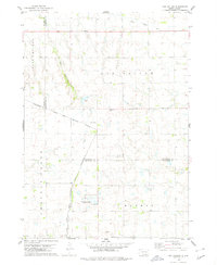
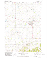
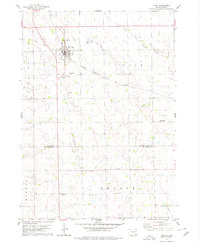
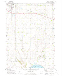 1978 Tyndall1979 Print · USGSTyndall and the surrounding Bon Homme County landscape are captured here during the late 1970s, as the railroad still connected these prairie townships. Researchers can locate vanished rural landmarks like Cottonwood Sch, the Bon Homme Cem, and early industry at the Sandpit.
 - 1978 Map of Haucks Lake, 1979 Print
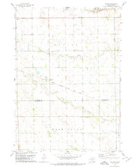
 1978 Haucks Lake1979 Print · USGSBon Homme County in the late seventies reveals a landscape of prairie townships and agricultural tradition. Genealogists and local historians can trace rural roots at Danzig Ch Cem and identify former school sites like Dewald Sch or Hoff Sch.
 - 1978 Map of Kaylor, 1979 Print
 1978 Kaylor1979 Print · USGSThe rural landscape around the settlement of Kaylor in the late 1970s is defined by its rail-linked economy and creek-fed pastures. Genealogists and researchers can trace the locations of Dennewitz Cem and St Johns Cem near the Chicago Milwaukee St Paul and Pacific line.
 - 1978 Map of Kingsburg, 1979 Print
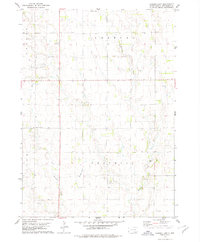
 1978 Kingsburg1979 Print · USGSBon Homme County in the late seventies is captured here as a landscape of established townships and winding prairie creeks. Genealogists and local historians can locate Evangelical Cem, the settlement of Kingsburg, and the Albion Sch grounds.
 - 1978 Map of Avon, 1979 Print
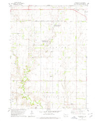
 1978 Avon1979 Print · USGSSettled along the railroad in the late seventies, this region of Bon Homme County shows a prairie landscape of grain and water. Trace local genealogy and land use near Avon through landmarks like Giedd Sch, the Cem, and the Choteau Creek wetlands.
 - 1978 Map of Tabor, 1979 Print
 1978 Tabor1979 Print · USGSThe town of Tabor is captured in the late 1970s at the intersection of prairie agriculture and the Milwaukee Road railroad. Researchers can locate family landmarks like Hvezda Zapadu Cem, Ptaks National Cem, and the shores of Kubal Lake.
 - 1978 Map of Niobrara NE, 1979 Print
 1978 Niobrara NE1979 Print · USGSIn the late seventies, this portion of Bon Homme and Charles Mix counties remained a landscape of prairie schools and country parishes. Genealogists can trace early homestead footprints via the Old Indian Treaty Boundary and sites like Trumbo Sch and Trinity Cem.
 - 1978 Map of Tripp, 1979 Print
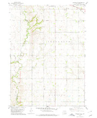
 1978 Tripp1979 Print · USGSHutchinson and Bon Homme Counties are captured here in the late seventies, centered on the rail-side town of Tripp. Genealogists can trace a remarkable number of family burial sites, including Hoffnungstal Cem, Zion Cem, and Holy Rosary Cem.
 - 1978 Map of Springfield, 1979 Print
 1978 Springfield1979 Print · USGSThe Missouri River borderlands of South Dakota and Nebraska are captured here in the late seventies. Researchers can trace the layout of Springfield and the University of South Dakota at Springfield, or locate local burial grounds like St Vincents Cem and Emanuel Cem.
End of results
Showing maps 1-17 of 17
Top cities of Bon Homme County
Frequently asked questions
- What are the different types of historical maps available for Bon Homme County?
- What is the oldest map of Bon Homme County?
- Where can I purchase historical maps of Bon Homme County for my home or office?
- Where can I download high-res historical maps of Bon Homme County?
- Are there historical topographic maps available for Bon Homme County?
- Is there historical aerial imagery available for Bon Homme County?
- Where are historical maps of Bon Homme County sourced from?