Old Maps of Monroe Township, South Dakota for Academic Research
Study the evolution of Monroe Township with 29 high-resolution historic maps. Whether you're teaching, researching, or modeling changes in land use, these maps provide essential visual documentation of urban, environmental, and geographic change.
- Analyze long-term change: Track patterns in development, transportation, and natural features.
- Ideal for environmental or urban studies: Support academic projects with primary historical map data.
- Use in the classroom or lab: Educators and researchers rely on these maps to bring historical context to life.
These maps are a powerful tool for teaching, research, and visualizing how Monroe Township has changed over the decades.
Monroe Township, SD maps
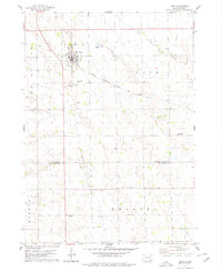
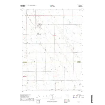
(29)- 1898 Map of Olivet
 1898 Olivet1898 Print · USGSHutchinson County at the close of the nineteenth century was a landscape of emerging rail towns and river valley farmsteads. Trace the early expansion of the Chicago Milwaukee and St Paul RR near Olivet and Scotland.4 unique versions available
 - 1955 Map of Sioux Falls, 1967 Print
 1955 Sioux Falls1967 Print · USGSThe eastern South Dakota and western Minnesota borderlands come alive in the mid-fifties, showing the vital rail-to-river connections of the era. Genealogists can trace family footprints across townships like Madison and Pipestone, while following the paths of the Big Sioux River and the Chicago and North Western line.3 unique versions available
 - 1955 Map of Mitchell, 1973 Print
 1955 Mitchell1973 Print · USGSThe Missouri River valley undergoes a massive transformation in the mid-1950s as the Fort Randall Dam creates Lake Francis Case. You can trace the rail lines of the Chicago Milwaukee St Paul and Pacific through Mitchell or locate local landmarks like Butler Town Hall.2 unique versions available
 - 1958 Map of Sioux Falls
 1958 Sioux Falls1958 Print · USGSThe tri-state borderlands of South Dakota, Minnesota, and Iowa are captured here during the mid-century peak of the regional rail network. Genealogists and historians can trace local landmarks like Augustana Academy, the St Marys Cem, and the path of the Illinois Central through Rock Rapids.
 - 1959 Map of Mitchell
 1959 Mitchell1959 Print · USGSSouth Dakota’s river and rail corridors come alive in the late fifties as the Missouri River valley undergoes dramatic change. Genealogists and historians can trace family roots through numerous small towns and schools such as Academy, Stickney, and Gregory.2 unique versions available
 - 1977 Map of Oak Hollow
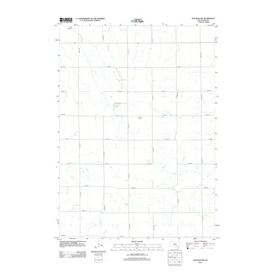
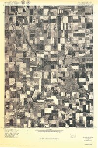 1977 Oak Hollow1977 Print · USGSHutchinson County farmland is captured in sharp aerial detail during the late seventies, showing the precise layout of local agriculture. Genealogists and historians can locate specific farmsteads and water features like Tripp Lake and the drainage of Oak Hollow.
 - 1978 Map of Oak Hollow, 1979 Print
 1978 Oak Hollow1979 Print · USGSHutchinson and Douglas counties meet along the Yankton Indian Reservation line in the late seventies. Family historians can locate rural landmarks like Oak Hollow Cem, Zion Cem, and the local Townhall near Tripp Lake.
 - 1978 Map of Haucks Lake, 1979 Print
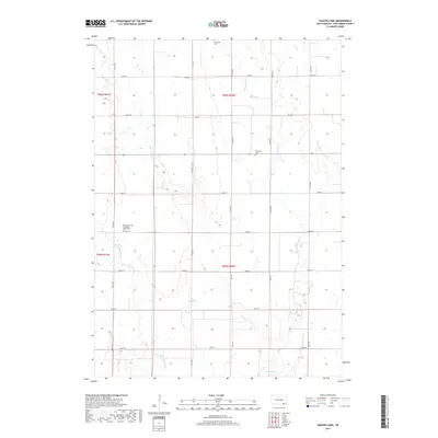
 1978 Haucks Lake1979 Print · USGSBon Homme County in the late seventies reveals a landscape of prairie townships and agricultural tradition. Genealogists and local historians can trace rural roots at Danzig Ch Cem and identify former school sites like Dewald Sch or Hoff Sch.
 - 1978 Map of Avon, 1979 Print
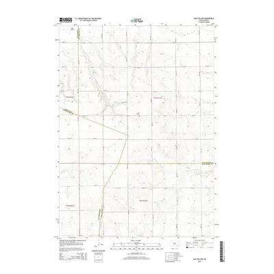
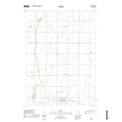
 1978 Avon1979 Print · USGSSettled along the railroad in the late seventies, this region of Bon Homme County shows a prairie landscape of grain and water. Trace local genealogy and land use near Avon through landmarks like Giedd Sch, the Cem, and the Choteau Creek wetlands.
 - 1978 Map of Tripp, 1979 Print
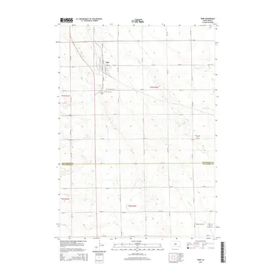
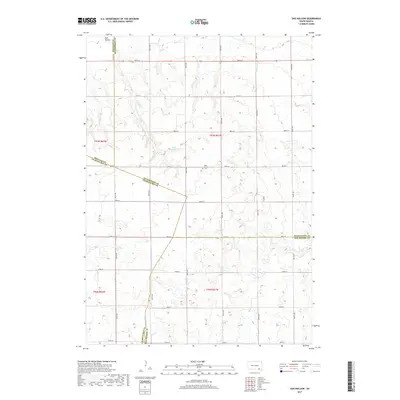
 1978 Tripp1979 Print · USGSHutchinson and Bon Homme Counties are captured here in the late seventies, centered on the rail-side town of Tripp. Genealogists can trace a remarkable number of family burial sites, including Hoffnungstal Cem, Zion Cem, and Holy Rosary Cem.
 - 1985 Map of Freeman
 1985 Freeman1985 Print · USGSThe James River valley in the mid-1980s reveals a landscape of communal farming colonies and railroad-anchored prairie towns. Researchers can trace the layout of several Hutterite settlements like Maxwell Colony or locate local landmarks like Gagna Station and Turkey Ridge.2 unique versions available
 - 1986 Map of Lake Andes
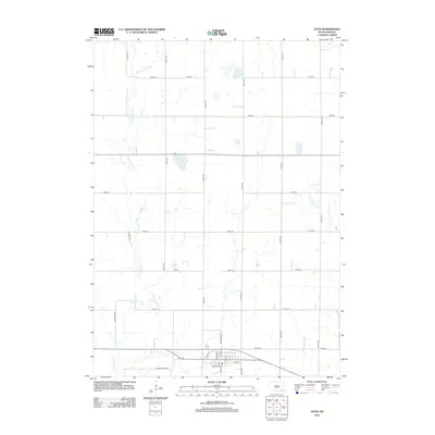
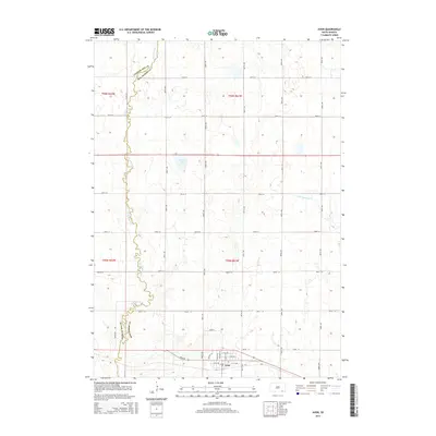
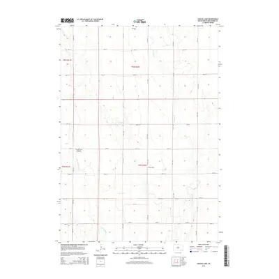
 1986 Lake Andes1986 Print · USGSThe Yankton Indian Reservation and the vast Missouri River impoundments define this South Dakota landscape in the mid-eighties. Researchers can trace old township lines and the Old Railroad Grade, or locate sites like Fort Randall and the Pleasant Ridge Cem.3 unique versions available
 - 1990 Map of Mitchell, 1991 Print
 1990 Mitchell1991 Print · USGSThe Missouri River and the surrounding South Dakota plains are captured here in the early nineties, showing a landscape shaped by water and wire. Genealogists and historians can trace the gridded townships from Mitchell to the Bijou Hills, locating sites like the Platte Colony and Academy.
 - 2012 Map of Haucks Lake, 2012 Print
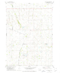
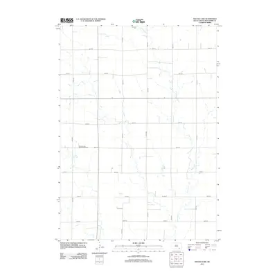 2012 Haucks Lake2012 Print · USGSCovers Monroe Township, including Avon Township, Emanuel Township, and other nearby areas
 - 2012 Map of Tripp, 2012 Print
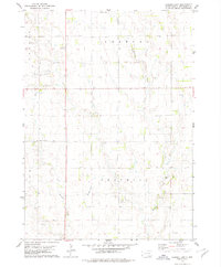
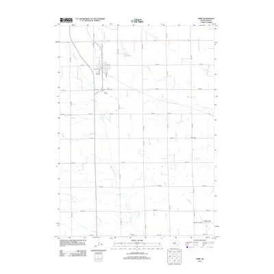 2012 Tripp2012 Print · USGSCovers Monroe Township, including Tripp, Fair Township, and other nearby areas
 - 2012 Map of Avon, 2012 Print
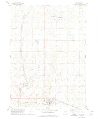
 2012 Avon2012 Print · USGSCovers Monroe Township, including Avon, Choteau Creek Township, and other nearby areas
 - 2012 Map of Oak Hollow, 2012 Print
 2012 Oak Hollow2012 Print · USGSCovers Monroe Township, including Choteau Creek Township, East Choteau Township, and other nearby areas
 - 2015 Map of Oak Hollow, 2015 Print
 2015 Oak Hollow2015 Print · USGSCovers Monroe Township, including Choteau Creek Township, East Choteau Township, and other nearby areas
 - 2015 Map of Tripp, 2015 Print
 2015 Tripp2015 Print · USGSCovers Monroe Township, including Tripp, Fair Township, and other nearby areas
 - 2015 Map of Avon, 2015 Print
 2015 Avon2015 Print · USGSCovers Monroe Township, including Avon, Choteau Creek Township, and other nearby areas
 - 2015 Map of Haucks Lake, 2015 Print
 2015 Haucks Lake2015 Print · USGSCovers Monroe Township, including Avon Township, Emanuel Township, and other nearby areas
 - 2017 Map of Avon, 2017 Print
 2017 Avon2017 Print · USGSCovers Monroe Township, including Avon, Choteau Creek Township, and other nearby areas
 - 2017 Map of Haucks Lake, 2017 Print
 2017 Haucks Lake2017 Print · USGSCovers Monroe Township, including Avon Township, Emanuel Township, and other nearby areas
 - 2017 Map of Oak Hollow, 2017 Print
 2017 Oak Hollow2017 Print · USGSCovers Monroe Township, including Choteau Creek Township, East Choteau Township, and other nearby areas
 - 2017 Map of Tripp, 2017 Print
 2017 Tripp2017 Print · USGSCovers Monroe Township, including Tripp, Fair Township, and other nearby areas
Showing maps 1-25 of 29
Top cities near Monroe Township
- Tyndall historical maps
- Tripp historical maps
- Avon historical maps
- Delmont historical maps
- Kaylor historical maps
- Dante historical maps
Frequently asked questions
- What are the different types of historical maps available for Monroe Township?
- What is the oldest map of Monroe Township?
- Where can I purchase historical maps of Monroe Township for my home or office?
- Where can I download high-res historical maps of Monroe Township?
- Are there historical topographic maps available for Monroe Township?
- Is there historical aerial imagery available for Monroe Township?
- Where are historical maps of Monroe Township sourced from?