2000s (21st Century) Maps of Tyndall, South Dakota
Explore 8 historic maps of Tyndall from the 2000s (21st Century). These maps offer a rare glimpse into what life looked like during the 2000s — showing old roads, neighborhoods, homes, and landmarks that have changed or disappeared over time.
Whether you're researching your family's past, planning a metal detecting trip, or studying how Tyndall's landscape evolved across the 2000s, these high-resolution maps are a powerful tool for exploring the history of this region.
- Focus on a specific era: All maps on this page are from the 2000s, giving you a focused view of this time period.
- See what’s changed: Compare century-old streets, trails, and buildings to today's modern landscape using overlays and satellite layers.
- Research with precision: Use these maps for genealogy, historical research, land use analysis, or educational projects.
- View, download, or print: Maps are fully viewable online in high resolution, and can be downloaded or printed for your own records.
Start exploring Tyndall's history through authentic maps from the 2000s. This is your window into the past.
Tyndall, SD maps
(8)- 2012 Map of Kingsburg, 2012 Print
 2012 Kingsburg2012 Print · USGSCovers Tyndall, including Springfield, Jefferson Township, and other nearby areas
 - 2012 Map of Tyndall, 2012 Print
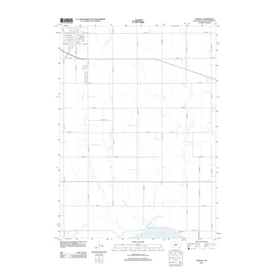 2012 Tyndall2012 Print · USGSCovers Tyndall, including Bon Homme Township, Little Tabor Township, and other nearby areas
 - 2015 Map of Tyndall, 2015 Print
 2015 Tyndall2015 Print · USGSCovers Tyndall, including Bon Homme Township, Little Tabor Township, and other nearby areas
 - 2015 Map of Kingsburg, 2015 Print
 2015 Kingsburg2015 Print · USGSCovers Tyndall, including Springfield, Jefferson Township, and other nearby areas
 - 2017 Map of Tyndall, 2017 Print
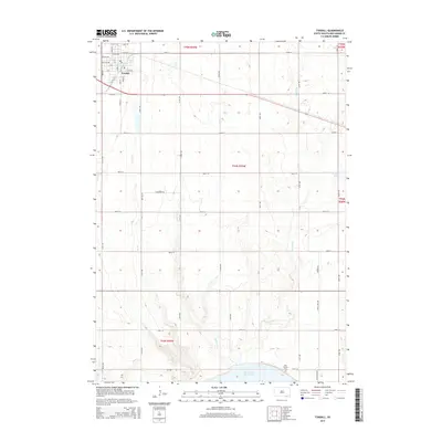
 2017 Tyndall2017 Print · USGSCovers Tyndall, including Bon Homme Township, Little Tabor Township, and other nearby areas
 - 2017 Map of Kingsburg, 2017 Print
 2017 Kingsburg2017 Print · USGSCovers Tyndall, including Springfield, Jefferson Township, and other nearby areas
 - 2021 Map of Kingsburg, 2021 Print
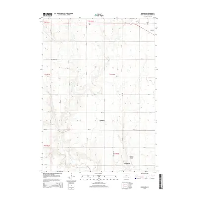
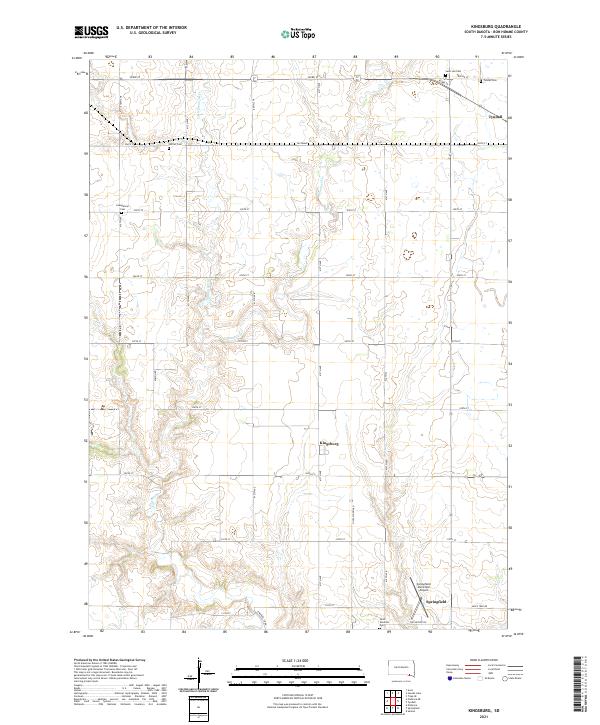 2021 Kingsburg2021 Print · USGSBon Homme County is shown in this modern era as a grid of prairie townships centered on the settlement of Kingsburg. Family historians can locate several local burial grounds, including Sattler Cem, Evangelical Cem, and Saint Leo Cem.
 - 2021 Map of Tyndall, 2021 Print
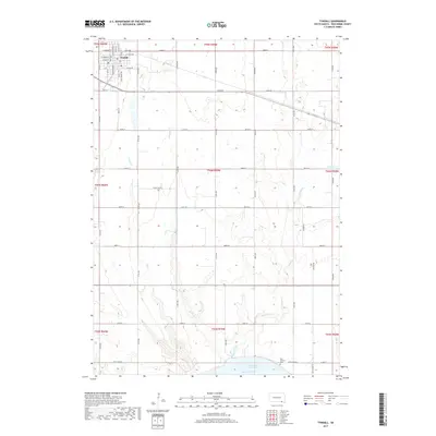
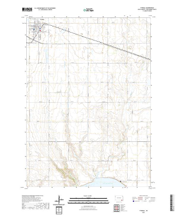 2021 Tyndall2021 Print · USGSThe Bon Homme County seat and the shores of the Missouri River dominate this recent study of the South Dakota plains. Genealogists can trace the surroundings of Tyndall and the Bon Homme County Courthouse down to the Bon Homme Cem near the water.
End of results
Showing maps 1-8 of 8
Top cities near Tyndall
- Springfield historical maps
- Scotland historical maps
- Avon historical maps
- Tabor historical maps
- Santee historical maps
- Kaylor historical maps
Frequently asked questions
- What are the different types of historical maps available for Tyndall?
- What is the oldest map of Tyndall?
- Where can I purchase historical maps of Tyndall for my home or office?
- Where can I download high-res historical maps of Tyndall?
- Are there historical topographic maps available for Tyndall?
- Is there historical aerial imagery available for Tyndall?
- Where are historical maps of Tyndall sourced from?