Old Maps of Highland Township, South Dakota for Academic Research
Study the evolution of Highland Township with 24 high-resolution historic maps. Whether you're teaching, researching, or modeling changes in land use, these maps provide essential visual documentation of urban, environmental, and geographic change.
- Analyze long-term change: Track patterns in development, transportation, and natural features.
- Ideal for environmental or urban studies: Support academic projects with primary historical map data.
- Use in the classroom or lab: Educators and researchers rely on these maps to bring historical context to life.
These maps are a powerful tool for teaching, research, and visualizing how Highland Township has changed over the decades.
Highland Township, SD maps
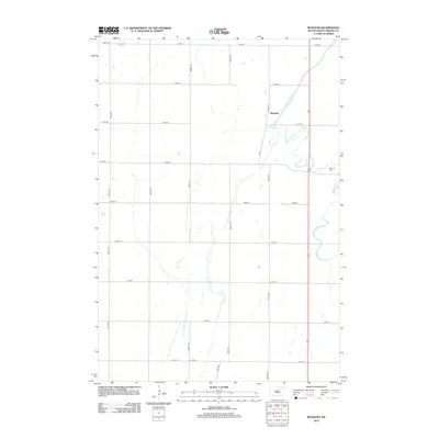
(24)- 1899 Map of Northville
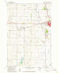
 1899 Northville1899 Print · USGSNortheastern South Dakota in the 1890s was a landscape defined by the expansion of the rails and the settlement of the prairie. You can trace the path of the Chicago and Northwestern RR through early townsites like Northville and Rudolph.2 unique versions available
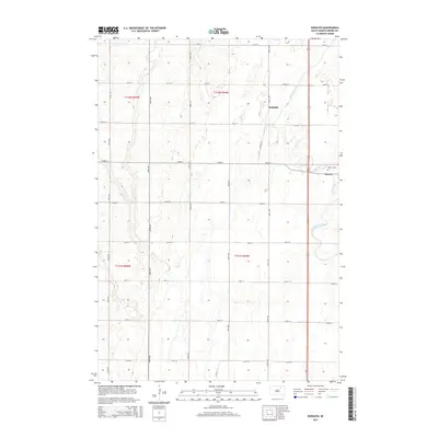
 - 1954 Map of Aberdeen, 1964 Print
 1954 Aberdeen1964 Print · USGSNortheastern South Dakota in the mid-fifties remains a world of rail-dependent prairie towns and sweeping waterfowl refuges. Genealogists can trace family roots through settlements like Eureka and Ipswich or locate rural landmarks near Richmond Lake.2 unique versions available
 - 1956 Map of Aberdeen
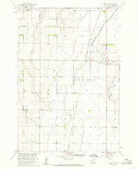
 1956 Aberdeen1956 Print · USGSUpper South Dakota during the mid-fifties remains a landscape of rail-connected farming towns and expansive glacial lake basins. Genealogists and historians can trace the paths of the Minneapolis and St Louis railroad through Gettysburg or locate vanished stops near Elm Lake and Richmond Lake.
 - 1960 Map of Aberdeen West, 1961 Print
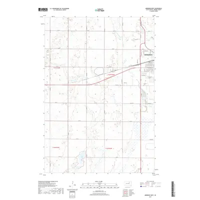
 1960 Aberdeen West1961 Print · USGSAberdeen in the early sixties was a bustling rail hub where major prairie lines converged near the growing city center. Researchers can trace local landmarks like Riverside Cemetery, find neighborhood schools such as Lincoln Sch, and locate the mid-century Drive-in Theater.3 unique versions available
 - 1960 Map of Rudolph, 1961 Print
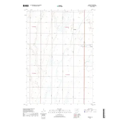
 1960 Rudolph1961 Print · USGSThe rural prairie of Brown County comes into focus in the early sixties, centered on the rail-side settlement of Rudolph. Genealogists can trace family landmarks and school districts like St John Sch, Sunshine Sch, and the Warner Cem.2 unique versions available
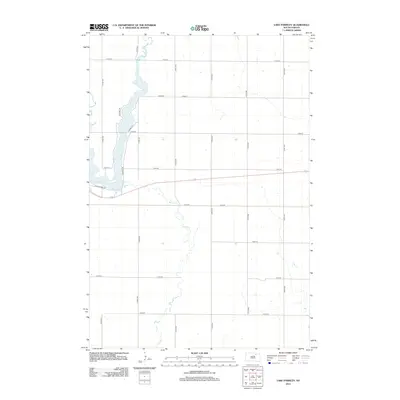
 - 1970 Map of Lake Parmley, 1973 Print
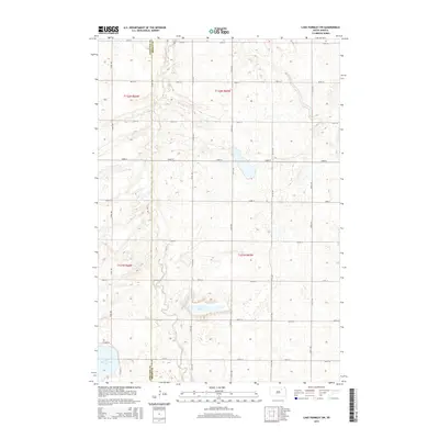
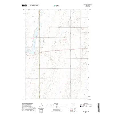
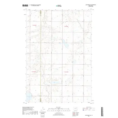
 1970 Lake Parmley1973 Print · USGSThe prairie landscape of Brown and Edmunds Counties was in transition during the early 1970s as new rail lines were established. Researchers can trace the progress of the Chicago Milwaukee St Paul and Pacific line and locate recreation sites near Lake Parmley.
 - 1970 Map of Lake Parmley SW, 1973 Print
 1970 Lake Parmley SW1973 Print · USGSThe rural border of Brown and Edmunds Counties is captured here in the early seventies, showing a landscape shaped by prairie townships. Genealogists and historians can trace the Old Railroad Grade or locate the community Townhall and Snake Creek.
 - 1985 Map of Aberdeen
 1985 Aberdeen1985 Print · USGSThe James River valley of South Dakota is seen here in the mid-eighties, centered on the growing hub of Aberdeen. Genealogists and historians can trace the rail corridors of the Chicago and North Western or find rural landmarks like Bath Corner and South Scatterwood Lake.2 unique versions available
 - 2012 Map of Lake Parmley SW, 2012 Print
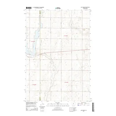
 2012 Lake Parmley SW2012 Print · USGSCovers Highland Township, including New Hope Township, Brown County, and other nearby areas
 - 2012 Map of Aberdeen West, 2012 Print
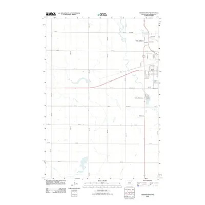 2012 Aberdeen West2012 Print · USGSCovers Highland Township, including Aberdeen, Derian Subdivision, and other nearby areas
 - 2012 Map of Rudolph, 2012 Print
 2012 Rudolph2012 Print · USGSCovers Highland Township, including Warner, Rudolph, and other nearby areas
 - 2012 Map of Lake Parmley, 2012 Print
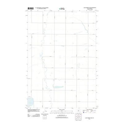
 2012 Lake Parmley2012 Print · USGSCovers Highland Township, including Mercier Township, Brown County, and other nearby areas
 - 2015 Map of Lake Parmley, 2015 Print
 2015 Lake Parmley2015 Print · USGSCovers Highland Township, including Mercier Township, Brown County, and other nearby areas
 - 2015 Map of Aberdeen West, 2015 Print
 2015 Aberdeen West2015 Print · USGSCovers Highland Township, including Aberdeen, Derian Subdivision, and other nearby areas
 - 2015 Map of Rudolph, 2015 Print
 2015 Rudolph2015 Print · USGSCovers Highland Township, including Warner, Rudolph, and other nearby areas
 - 2015 Map of Lake Parmley SW, 2015 Print
 2015 Lake Parmley SW2015 Print · USGSCovers Highland Township, including New Hope Township, Brown County, and other nearby areas
 - 2017 Map of Aberdeen West, 2017 Print
 2017 Aberdeen West2017 Print · USGSCovers Highland Township, including Aberdeen, Derian Subdivision, and other nearby areas
 - 2017 Map of Lake Parmley, 2017 Print
 2017 Lake Parmley2017 Print · USGSCovers Highland Township, including Mercier Township, Brown County, and other nearby areas
 - 2017 Map of Rudolph, 2017 Print
 2017 Rudolph2017 Print · USGSCovers Highland Township, including Warner, Rudolph, and other nearby areas
 - 2017 Map of Lake Parmley SW, 2017 Print
 2017 Lake Parmley SW2017 Print · USGSCovers Highland Township, including New Hope Township, Brown County, and other nearby areas
 - 2021 Map of Rudolph, 2021 Print
 2021 Rudolph2021 Print · USGSAgricultural life in Brown County near the mid-century mark is defined by the grid of section roads and the winding path of Moccasin Creek. Genealogists and local historians can trace the settlement at Warner and find the exact location of the Warner Cem.
 - 2021 Map of Lake Parmley, 2021 Print
 2021 Lake Parmley2021 Print · USGSThe Edmunds and Brown County line in the early 2020s shows a landscape of expansive prairie farms and natural waterways. Genealogists and local historians can trace modern property access via 372nd Ave and explore the shoreline of Lake Parmley near Maza Trl.
 - 2021 Map of Aberdeen West, 2021 Print
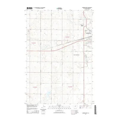
 2021 Aberdeen West2021 Print · USGSAberdeen and its surrounding prairie landscape are documented in this recent survey of Brown County. Family researchers and locals can trace the development of the city grid out to Riverside Cem and water features like Wylie Lake and Lords Lake.
 - 2021 Map of Lake Parmley SW, 2021 Print
 2021 Lake Parmley SW2021 Print · USGSThe Edmunds and Brown County line in the early twenty-first century showcases a classic South Dakota prairie pothole landscape. Genealogists and land researchers can trace property boundaries and rural routes near Salt Lake, North Scatterwood Lake, and Co Rd 23.
End of results
Showing maps 1-24 of 24
Top cities near Highland Township
- Aberdeen historical maps
- Warner historical maps
- Mellette historical maps
- Northville historical maps
- Chelsea historical maps
Frequently asked questions
- What are the different types of historical maps available for Highland Township?
- What is the oldest map of Highland Township?
- Where can I purchase historical maps of Highland Township for my home or office?
- Where can I download high-res historical maps of Highland Township?
- Are there historical topographic maps available for Highland Township?
- Is there historical aerial imagery available for Highland Township?
- Where are historical maps of Highland Township sourced from?