Old Maps of Pleasant Grove Township, South Dakota
Explore 27 old maps of Pleasant Grove Township, spanning from 1955 to today. These high-resolution historic maps reveal how streets, neighborhoods, landmarks, and natural features evolved over time — perfect for genealogy, metal detecting, research, and local history exploration.
What you can do with these maps:
- See how Pleasant Grove Township changed over time: Compare historical maps to modern-day views to trace roads, homesites, rail lines & more.
- View detailed metadata: Each map includes creators, publishers, year, scale, and archive source.
- Overlay maps with satellite & LiDAR: Visualize the past alongside modern tools to explore terrain & human change.
- Trusted historical sources: Maps sourced from the USGS, Library of Congress, and other archives.
- Access maps your way: View online, download high-res files, or order prints for personal or research use.
Start exploring old maps of Pleasant Grove Township to uncover forgotten places, hidden landmarks, and the deep history beneath your feet.
Pleasant Grove Township, SD maps
(27)- 1955 Map of Mitchell, 1973 Print
 1955 Mitchell1973 Print · USGSThe Missouri River valley undergoes a massive transformation in the mid-1950s as the Fort Randall Dam creates Lake Francis Case. You can trace the rail lines of the Chicago Milwaukee St Paul and Pacific through Mitchell or locate local landmarks like Butler Town Hall.2 unique versions available
 - 1959 Map of Mitchell
 1959 Mitchell1959 Print · USGSSouth Dakota’s river and rail corridors come alive in the late fifties as the Missouri River valley undergoes dramatic change. Genealogists and historians can trace family roots through numerous small towns and schools such as Academy, Stickney, and Gregory.2 unique versions available
 - 1971 Map of Academy, 1974 Print
 1971 Academy1974 Print · USGSThe South Dakota prairie meets the Missouri River in the early seventies, capturing the rural character of Charles Mix County. Genealogists and local historians can trace family roots through sites like Platte Colony, Academy, and the La Roche Cem.
 - 1979 Map of Eagle, 1980 Print
 1979 Eagle1980 Print · USGSBrule County's upland prairies were still a landscape of tight-knit rural townships and homestead legacies in the late seventies. Researchers can trace family ties at the Bohemian Cem, Blessed Trinity Ch, and the local settlement of Eagle.
 - 1979 Map of Lake George, 1980 Print
 1979 Lake George1980 Print · USGSCharles Mix and Brule counties are shown here in the late seventies, a landscape of prairie sections and vital water sources. Researchers can locate the Lake George Cem, the Castalia Sch, and the small cluster at Townhall.
 - 1980 Map of Snow Lake
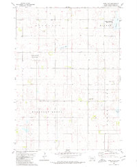 1980 Snow Lake1980 Print · USGSBrule County prairie life in the late seventies is marked by scattered schoolhouses and small country churches. Genealogists can trace local landmarks like Highland Sch, Gabrielson Cem, and the waters of Freeland Lake.
 - 1986 Map of Winner
 1986 Winner1986 Print · USGSTripp and Gregory Counties are captured in the mid-eighties as the agricultural heartland centered on the Chicago and North Western line. Genealogists can trace family footprints near St Charles, Paxton, and Winner, or explore the shoreline of Lake Francis Case.2 unique versions available
 - 1986 Map of Chamberlain
 1986 Chamberlain1986 Print · USGSCentral South Dakota during the mid-eighties shows a landscape shaped by the Missouri River and the rise of Interstate 90. Researchers can trace the development of river towns like Chamberlain and Oacoma or locate remote landmarks like Bijou Hills and Hamill.2 unique versions available
 - 1986 Map of Mitchell
 1986 Mitchell1986 Print · USGSMitchell and the surrounding prairie towns are documented in the mid-1980s as the regional rail and agricultural network matured. Genealogists can locate specific sites like the State Training Sch, Aurora Center, and the Cedar Grove Colony.2 unique versions available
 - 1986 Map of Lake Andes
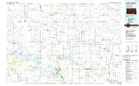 1986 Lake Andes1986 Print · USGSThe Yankton Indian Reservation and the vast Missouri River impoundments define this South Dakota landscape in the mid-eighties. Researchers can trace old township lines and the Old Railroad Grade, or locate sites like Fort Randall and the Pleasant Ridge Cem.3 unique versions available
 - 1990 Map of Mitchell, 1991 Print
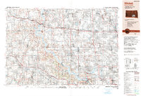 1990 Mitchell1991 Print · USGSThe Missouri River and the surrounding South Dakota plains are captured here in the early nineties, showing a landscape shaped by water and wire. Genealogists and historians can trace the gridded townships from Mitchell to the Bijou Hills, locating sites like the Platte Colony and Academy.
 - 2012 Map of Snow Lake, 2012 Print
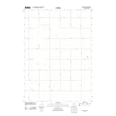 2012 Snow Lake2012 Print · USGSThe open prairie of Brule County is captured here in the early twenty-first century, showing a landscape defined by seasonal waters and a rigid grid of rural section-line roads. Genealogists and researchers can locate the Gabrielson Cem or trace the geography around Snow Lake.
 - 2012 Map of Lake George, 2012 Print
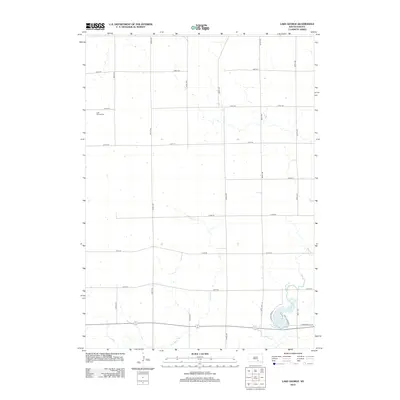 2012 Lake George2012 Print · USGSTorrey Lake Township and the surrounding Brule County countryside are documented here in the early twenty-first century. Family history researchers can locate Lake George Cem and trace the drainage of Castalia Cr toward the shores of Lake Platte.
 - 2012 Map of Eagle, 2012 Print
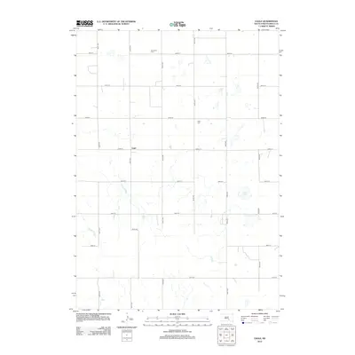 2012 Eagle2012 Print · USGSBrule County's rural township of Eagle is captured in the early twenty-first century, showing a landscape shaped by late-nineteenth-century land divisions. Researchers can locate family landmarks like Bohemian Cem, Eagle Cem, and the waters of Smith Lake among the section roads.
 - 2012 Map of Academy, 2012 Print
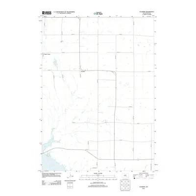 2012 Academy2012 Print · USGSCharles Mix County's rural townships are documented here during the early twenty-first century, showing the intersection of prairie agriculture and the Missouri River. Genealogists and local historians can locate Platte Colony, the quiet grounds of LaRoche Cem, and the waters of Lake Francis Case.
 - 2015 Map of Lake George, 2015 Print
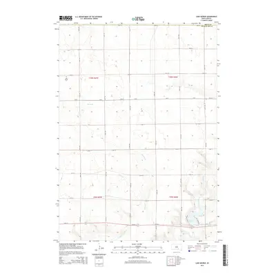 2015 Lake George2015 Print · USGSBrule and Charles Mix counties are captured here in the mid-2010s, showing a traditional South Dakota prairie landscape shaped by local waterways. Genealogists and local historians can locate the Lake George Cem and trace the paths of Castalia Cr and Platte Creek as they flow toward Lake Platte.
 - 2015 Map of Snow Lake, 2015 Print
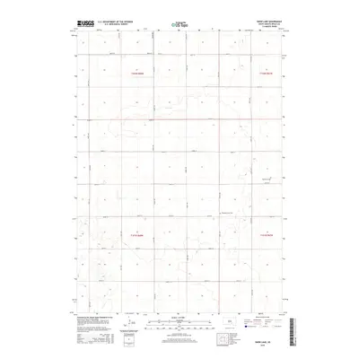 2015 Snow Lake2015 Print · USGSBrule County's prairie landscape is captured here in the mid-2010s, showing the intersection of agricultural section lines and local water features. Researchers can pinpoint the locations of Gabrielson Cem, Pleasant Grove Cem, and the namesake Snow Lake.
 - 2015 Map of Eagle, 2015 Print
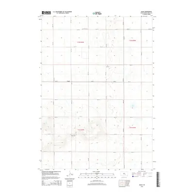 2015 Eagle2015 Print · USGSBrule County in 2015 remains a landscape of wide prairie and scattered high points. Genealogists and local historians can trace family roots through the Bohemian Cem or Eagle Cem and locate rural holdings near Bijou Hills or the small settlement of Eagle.
 - 2015 Map of Academy, 2015 Print
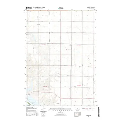 2015 Academy2015 Print · USGSThe bluffs of the Missouri River meet the South Dakota prairie in this mid-2010s survey of Charles Mix County. Genealogists and local historians can trace the grid of section roads to landmarks like Academy, Platte Colony, and the LaRoche Cem near the river breaks.
 - 2017 Map of Lake George, 2017 Print
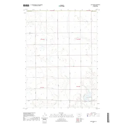 2017 Lake George2017 Print · USGSPrairie section lines and seasonal wetlands define this South Dakota landscape in the years before the state's recent growth. Researchers can locate family burial sites at Lake George Cem and Castalia Cem or trace the drainage of Castalia Cr.
 - 2017 Map of Snow Lake, 2017 Print
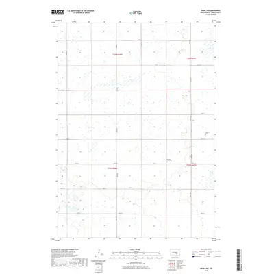 2017 Snow Lake2017 Print · USGSBrule County's prairie landscape is captured here during the late twenty-tens, showing a rural region defined by its wetland basins and section-line roads. Genealogists can locate family landmarks such as Gabrielson Cem and Pleasant Grove Cem near the shores of Snow Lake.
 - 2017 Map of Eagle, 2017 Print
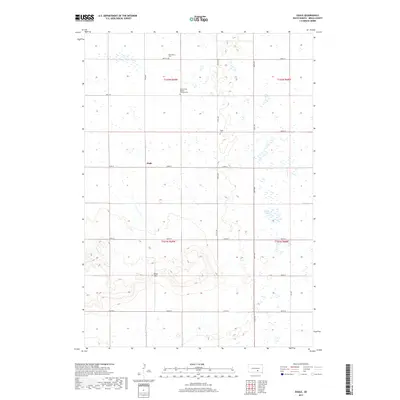 2017 Eagle2017 Print · USGSBrule County's rural landscape is captured here in the late twenty-first century, showing the enduring grid of the High Plains. Genealogists can locate family landmarks like the Bohemian Cem, Holy Trinity Bendon Catholic Cem, and the high ground of the Bijou Hills.
 - 2017 Map of Academy, 2017 Print
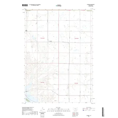 2017 Academy2017 Print · USGSCharles Mix County is captured here in the late twenty-teens, showing the transition from upland plains to the Missouri River breaks. Genealogists and local historians can locate Academy, the Platte Colony, and the LaRoche Cem among the section lines.
 - 2021 Map of Lake George, 2021 Print
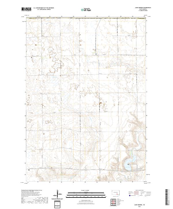 2021 Lake George2021 Print · USGSCharles Mix County in the early twenty-first century remains a landscape of rolling prairie and vital water bodies. Researchers can trace family history at the Lake George Cem or explore the drainage patterns of Castalia Cr and Platte Cr.
 - 2021 Map of Academy, 2021 Print
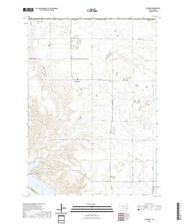 2021 Academy2021 Print · USGSThe Missouri River bluffs of Charles Mix County are captured here in 2021, showing the modern expanse of Lake Francis Case. Trace local roots near the LaRoche Cem or explore the rural settlements of Academy and Platte Colony.
Showing maps 1-25 of 27
Top cities near Pleasant Grove Township
Frequently asked questions
- What are the different types of historical maps available for Pleasant Grove Township?
- What is the oldest map of Pleasant Grove Township?
- Where can I purchase historical maps of Pleasant Grove Township for my home or office?
- Where can I download high-res historical maps of Pleasant Grove Township?
- Are there historical topographic maps available for Pleasant Grove Township?
- Is there historical aerial imagery available for Pleasant Grove Township?
- Where are historical maps of Pleasant Grove Township sourced from?