1900s (20th Century) Maps of Grant East Township, South Dakota
Explore 7 historic maps of Grant East Township from the 1900s (20th Century). These maps offer a rare glimpse into what life looked like during the 1900s — showing old roads, neighborhoods, homes, and landmarks that have changed or disappeared over time.
Whether you're researching your family's past, planning a metal detecting trip, or studying how Grant East Township's landscape evolved across the 1900s, these high-resolution maps are a powerful tool for exploring the history of this region.
- Focus on a specific era: All maps on this page are from the 1900s, giving you a focused view of this time period.
- See what’s changed: Compare century-old streets, trails, and buildings to today's modern landscape using overlays and satellite layers.
- Research with precision: Use these maps for genealogy, historical research, land use analysis, or educational projects.
- View, download, or print: Maps are fully viewable online in high resolution, and can be downloaded or printed for your own records.
Start exploring Grant East Township's history through authentic maps from the 1900s. This is your window into the past.
Grant East Township, SD maps
(7)- 1953 Map of Huron, 1959 Print
 1953 Huron1959 Print · USGSCentral South Dakota comes alive in the mid-1950s as a thriving rail and agricultural corridor between the Missouri and James Rivers. Trace the legacy of family farms and prairie towns like Huron, Faulkton, and Wessington Springs along the historic Chicago and North Western rail lines.3 unique versions available
 - 1954 Map of Huron, 1977 Print
 1954 Huron1977 Print · USGSCentral South Dakota was a landscape of grain elevators and river bends during the mid-fifties. Genealogists and historians can trace the development of the James River valley through railroad towns like Redfield and the sprawling Crow Creek Indian Reservation.
 - 1973 Map of Big Bend Dam 4 SE, 1976 Print
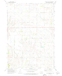 1973 Big Bend Dam 4 SE1976 Print · USGSBuffalo County is documented here in the 1970s, showcasing the prairie townships and historical survey lines of central South Dakota. Researchers can locate the small settlements of Anderson and Gann and trace the path of the Old Indian Treaty Boundary.2 unique versions available
 - 1973 Map of Big Bend Dam 4 NW, 1976 Print
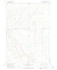 1973 Big Bend Dam 4 NW1976 Print · USGSBuffalo County and Hand County are shown in the 1970s, a period when the prairie landscape remained largely agricultural and sparsely settled. Genealogists and local historians can trace the Old Indian Treaty Boundary and locate rural landmarks like Prairie Center Sch and Elm Creek.2 unique versions available
 - 1973 Map of Big Bend Dam 4 NE, 1976 Print
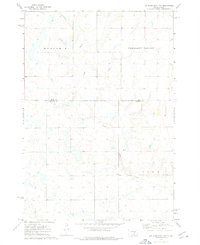 1973 Big Bend Dam 4 NE1976 Print · USGSBuffalo and Hand counties meet on the South Dakota prairie in the early 1970s, showing a rural landscape defined by wide townships. You can trace local landmarks like Duncan Ch and the winding path of Crow Creek through Eden and Mondamin.2 unique versions available
 - 1973 Map of Big Bend Dam 4 SW, 1976 Print
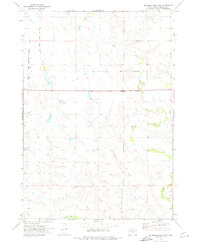 1973 Big Bend Dam 4 SW1976 Print · USGSBuffalo County prairie lands are documented in the early 1970s, showcasing the open rangeland along the Crow Creek Indian Reservation Boundary. Researchers can trace the path of the Old Indian Treaty Boundary and the natural courses of Elm Creek and Crow Creek.2 unique versions available
 - 1985 Map of Big Bend Dam, 1986 Print
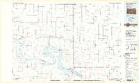 1985 Big Bend Dam1986 Print · USGSThe Missouri River landscape of the mid-1980s is defined by the massive Big Bend Dam and the sprawling waters of Lake Sharpe. Genealogists and historians can trace reservation boundaries and rural outposts like Fort Thompson, Stephan, and the Miller Dale Colony.2 unique versions available
End of results
Showing maps 1-7 of 7
Top cities near Grant East Township
Frequently asked questions
- What are the different types of historical maps available for Grant East Township?
- What is the oldest map of Grant East Township?
- Where can I purchase historical maps of Grant East Township for my home or office?
- Where can I download high-res historical maps of Grant East Township?
- Are there historical topographic maps available for Grant East Township?
- Is there historical aerial imagery available for Grant East Township?
- Where are historical maps of Grant East Township sourced from?