Old Maps of Howard Township, South Dakota for Metal Detecting
Plan your next treasure hunt with 25 historic maps of Howard Township. Find old homesites, ghost towns, trails, and gathering spots that may be lost to time — perfect for identifying promising metal detecting locations.
- Locate forgotten sites: Uncover places like long-lost settlements, abandoned rail lines, or gathering spots.
- Plan better hunts: Use map overlays combined with LiDAR or satellite views to narrow in on historically rich areas.
- Made for detectorists: Thousands of hobbyists use these maps to discover relics, coins, and hidden history.
Use these historic maps to boost your research and find new opportunities beneath the surface of Howard Township.
Howard Township, SD maps
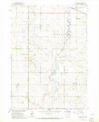
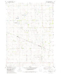
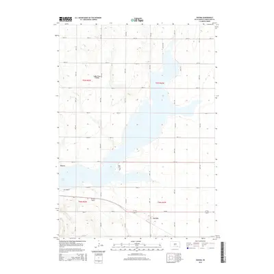
(25)- 1955 Map of Mitchell, 1973 Print
 1955 Mitchell1973 Print · USGSThe Missouri River valley undergoes a massive transformation in the mid-1950s as the Fort Randall Dam creates Lake Francis Case. You can trace the rail lines of the Chicago Milwaukee St Paul and Pacific through Mitchell or locate local landmarks like Butler Town Hall.2 unique versions available
 - 1959 Map of Mitchell
 1959 Mitchell1959 Print · USGSSouth Dakota’s river and rail corridors come alive in the late fifties as the Missouri River valley undergoes dramatic change. Genealogists and historians can trace family roots through numerous small towns and schools such as Academy, Stickney, and Gregory.2 unique versions available
 - 1964 Map of Wagner NE, 1965 Print
 1964 Wagner NE1965 Print · USGSPrairie townships north of Wagner are captured in the mid-1960s, showing a landscape defined by Choteau Creek and the Yankton Indian Res Bdy. Genealogists can trace family locations near East Lake Andes Ch Cem and School No 2.
 - 1964 Map of Ravinia, 1965 Print
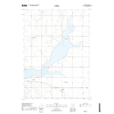
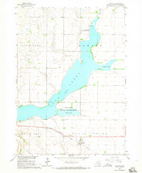 1964 Ravinia1965 Print · USGSRavinia and the expansive shoreline of Lake Andes are shown during the mid-1960s as part of the Missouri River Basin development. Genealogists and researchers can trace local landmarks like West Sch, the Ravinia townsite, and the Chicago Milwaukee St Paul and Pacific railroad.2 unique versions available
 - 1977 Map of Wagner NE
 1977 Wagner NE1977 Print · USGSCharles Mix County agriculture is captured in detail during the late seventies, showing the intricate grid of rural land management. Trace the winding course of Choteau Creek and the development of local farmsteads across this agricultural landscape.
 - 1979 Map of Armour, 1980 Print
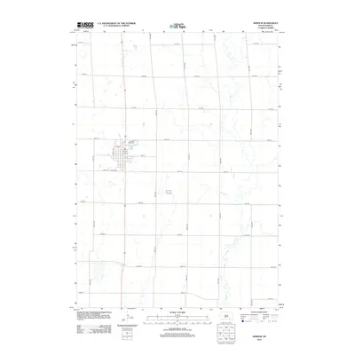
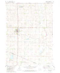 1979 Armour1980 Print · USGSDouglas County farming and conservation efforts take center stage in this late-seventies survey of the Armour region. Local researchers can trace the Old Railroad Grade and locate burials at Pleasant Ridge Cem or the Yankton Indian Reservation Boundary.
 - 1979 Map of Armour SW, 1980 Print
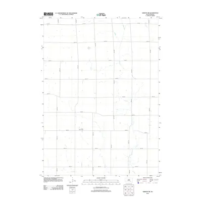
 1979 Armour SW1980 Print · USGSDouglas and Charles Mix counties appear here in the late seventies, showing the geometric precision of the rural section-line grid. Researchers can find the German Reform Cem, the Yankton Indian Reservation Boundary, and an Old Railroad Grade.
 - 1986 Map of Lake Andes
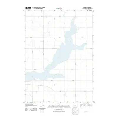
 1986 Lake Andes1986 Print · USGSThe Yankton Indian Reservation and the vast Missouri River impoundments define this South Dakota landscape in the mid-eighties. Researchers can trace old township lines and the Old Railroad Grade, or locate sites like Fort Randall and the Pleasant Ridge Cem.3 unique versions available
 - 1990 Map of Mitchell, 1991 Print
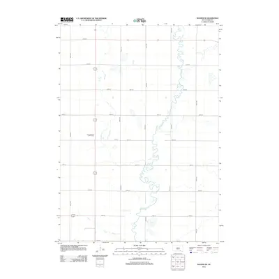
 1990 Mitchell1991 Print · USGSThe Missouri River and the surrounding South Dakota plains are captured here in the early nineties, showing a landscape shaped by water and wire. Genealogists and historians can trace the gridded townships from Mitchell to the Bijou Hills, locating sites like the Platte Colony and Academy.
 - 2012 Map of Armour, 2012 Print
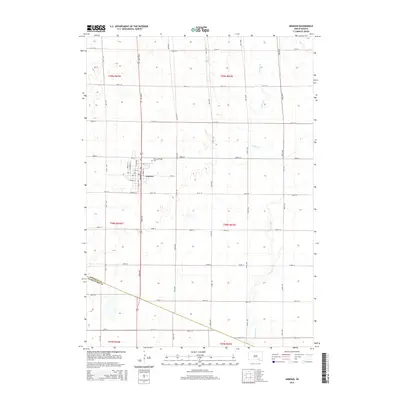
 2012 Armour2012 Print · USGSCovers Howard Township, including Armour, Chester Township, and other nearby areas
 - 2012 Map of Ravinia, 2012 Print
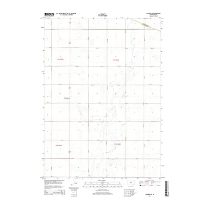
 2012 Ravinia2012 Print · USGSCovers Howard Township, including Ravinia, White Swan Township, and other nearby areas
 - 2012 Map of Armour SW, 2012 Print
 2012 Armour SW2012 Print · USGSCovers Howard Township, including Chester Township, Grandview Township, and other nearby areas
 - 2012 Map of Wagner NE, 2012 Print
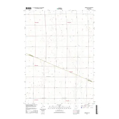
 2012 Wagner NE2012 Print · USGSCovers Howard Township, including Plain Center Township, Independence Township, and other nearby areas
 - 2015 Map of Armour SW, 2015 Print
 2015 Armour SW2015 Print · USGSCovers Howard Township, including Chester Township, Grandview Township, and other nearby areas
 - 2015 Map of Armour, 2015 Print
 2015 Armour2015 Print · USGSCovers Howard Township, including Armour, Chester Township, and other nearby areas
 - 2015 Map of Wagner NE, 2015 Print
 2015 Wagner NE2015 Print · USGSCovers Howard Township, including Plain Center Township, Independence Township, and other nearby areas
 - 2015 Map of Ravinia, 2015 Print
 2015 Ravinia2015 Print · USGSCovers Howard Township, including Ravinia, White Swan Township, and other nearby areas
 - 2017 Map of Armour, 2017 Print
 2017 Armour2017 Print · USGSCovers Howard Township, including Armour, Chester Township, and other nearby areas
 - 2017 Map of Armour SW, 2017 Print
 2017 Armour SW2017 Print · USGSCovers Howard Township, including Chester Township, Grandview Township, and other nearby areas
 - 2017 Map of Wagner NE, 2017 Print
 2017 Wagner NE2017 Print · USGSCovers Howard Township, including Plain Center Township, Independence Township, and other nearby areas
 - 2017 Map of Ravinia, 2017 Print
 2017 Ravinia2017 Print · USGSCovers Howard Township, including Ravinia, White Swan Township, and other nearby areas
 - 2021 Map of Wagner NE, 2021 Print
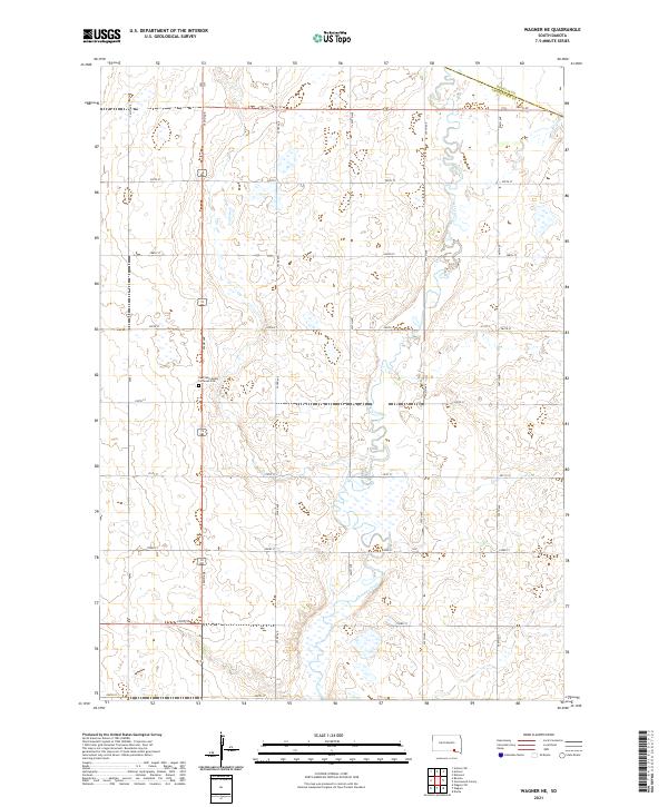 2021 Wagner NE2021 Print · USGSCharles Mix County agricultural lands and the meandering path of Choteau Creek are documented in this contemporary survey. Researchers can locate the East Lake Andes Lutheran Cem and trace rural section lines like 286th St and 392nd Ave.
 - 2021 Map of Ravinia, 2021 Print
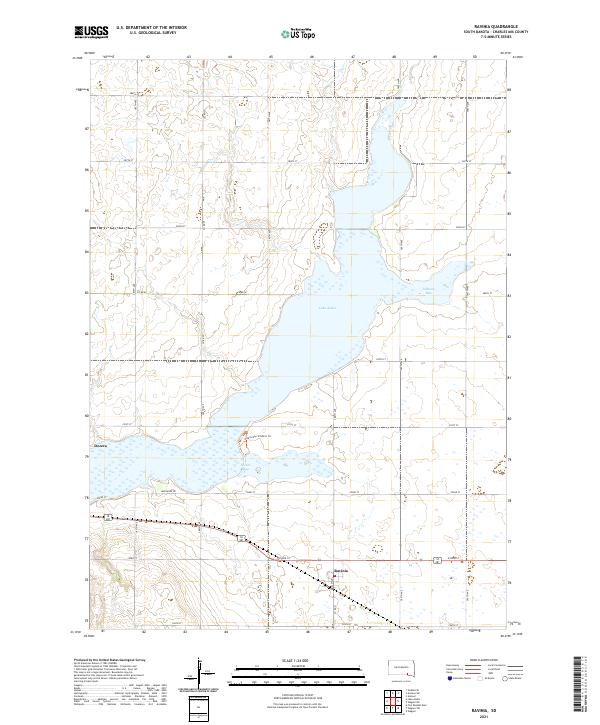 2021 Ravinia2021 Print · USGSRavinia and the banks of Lake Andes appear here in the early 2020s, showing the modern layout of this Charles Mix County landscape. Researchers can trace local landmarks like Dezera, the waters of Johnson Bay, and the protected pathways along the Owens Bay Wildlife Trl.
 - 2021 Map of Armour, 2021 Print
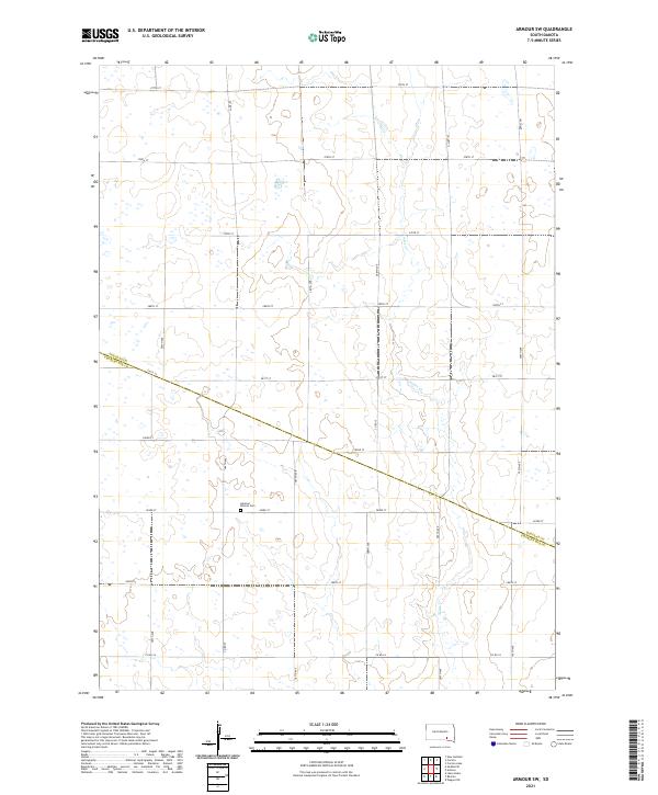
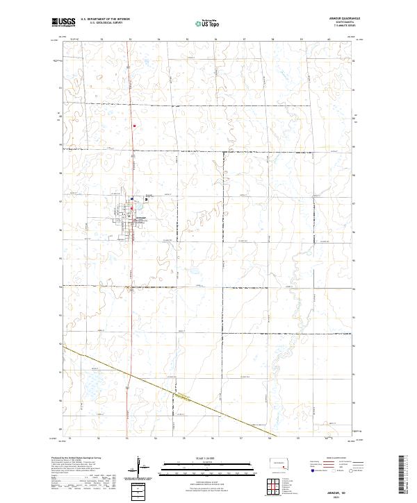 2021 Armour2021 Print · USGSArmour and the surrounding prairie of Douglas County are captured here in the early twenty-first century. Researchers can trace local lineage at Pleasant Ridge Cem or study the civic layout around the Douglas County Courthouse.
 - 2021 Map of Armour SW, 2021 Print
 2021 Armour SW2021 Print · USGSAgriculture and legacy define this Douglas County landscape in the early twenty-first century. Researchers can locate the German Reform Cem and trace the drainage of Andes Cr as it crosses the Douglas Co Charles Mix Co line.
End of results
Showing maps 1-25 of 25
Top cities near Howard Township
- Wagner historical maps
- Lake Andes historical maps
- Armour historical maps
- Corsica historical maps
- Pickstown historical maps
- Dante historical maps
See more
Top neighborhoods of Howard Township
Frequently asked questions
- What are the different types of historical maps available for Howard Township?
- What is the oldest map of Howard Township?
- Where can I purchase historical maps of Howard Township for my home or office?
- Where can I download high-res historical maps of Howard Township?
- Are there historical topographic maps available for Howard Township?
- Is there historical aerial imagery available for Howard Township?
- Where are historical maps of Howard Township sourced from?